


 Recommend YouTube


| View : |  | ||
| Difficulty : |  | ||
| Path : | |||
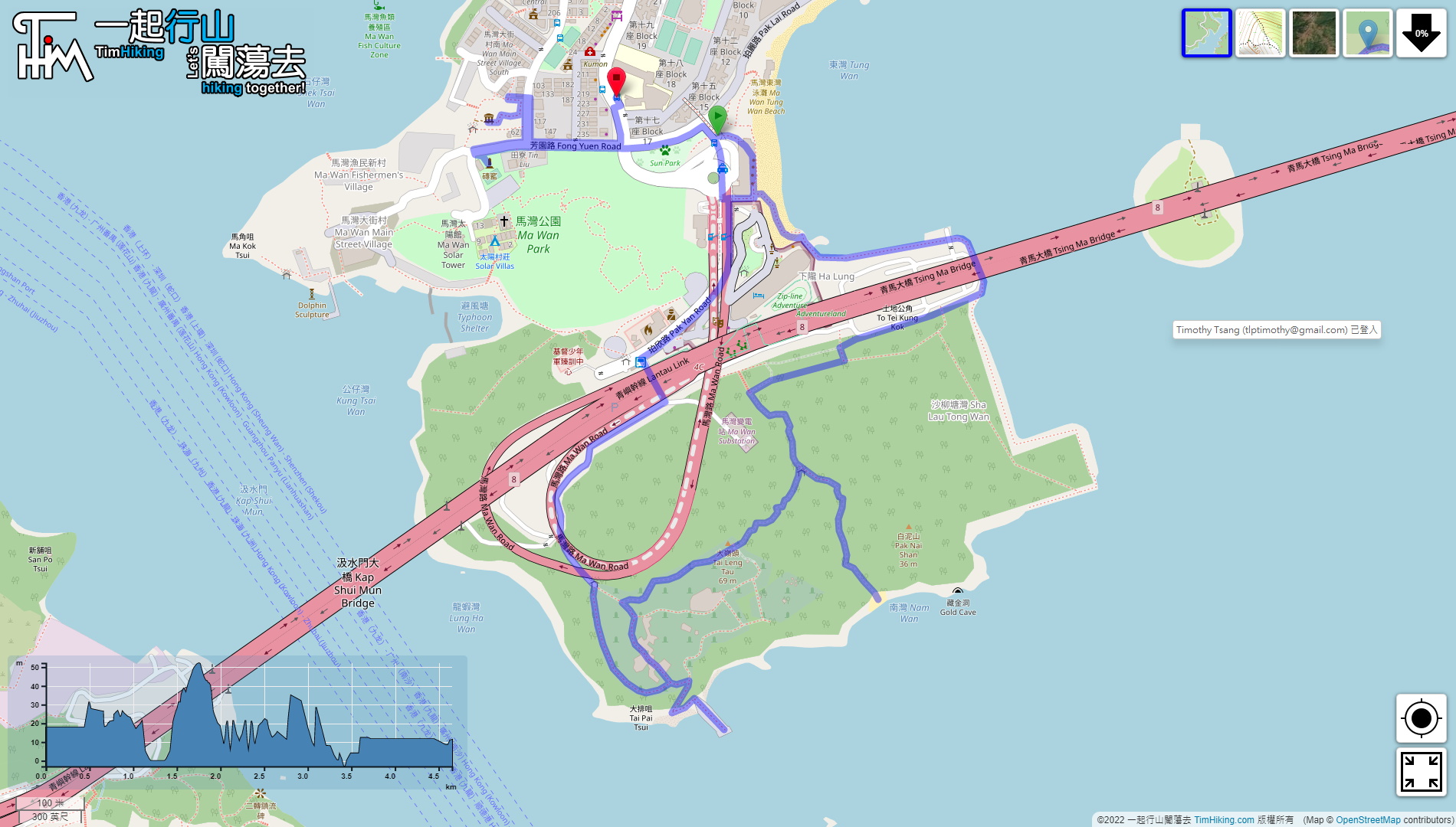
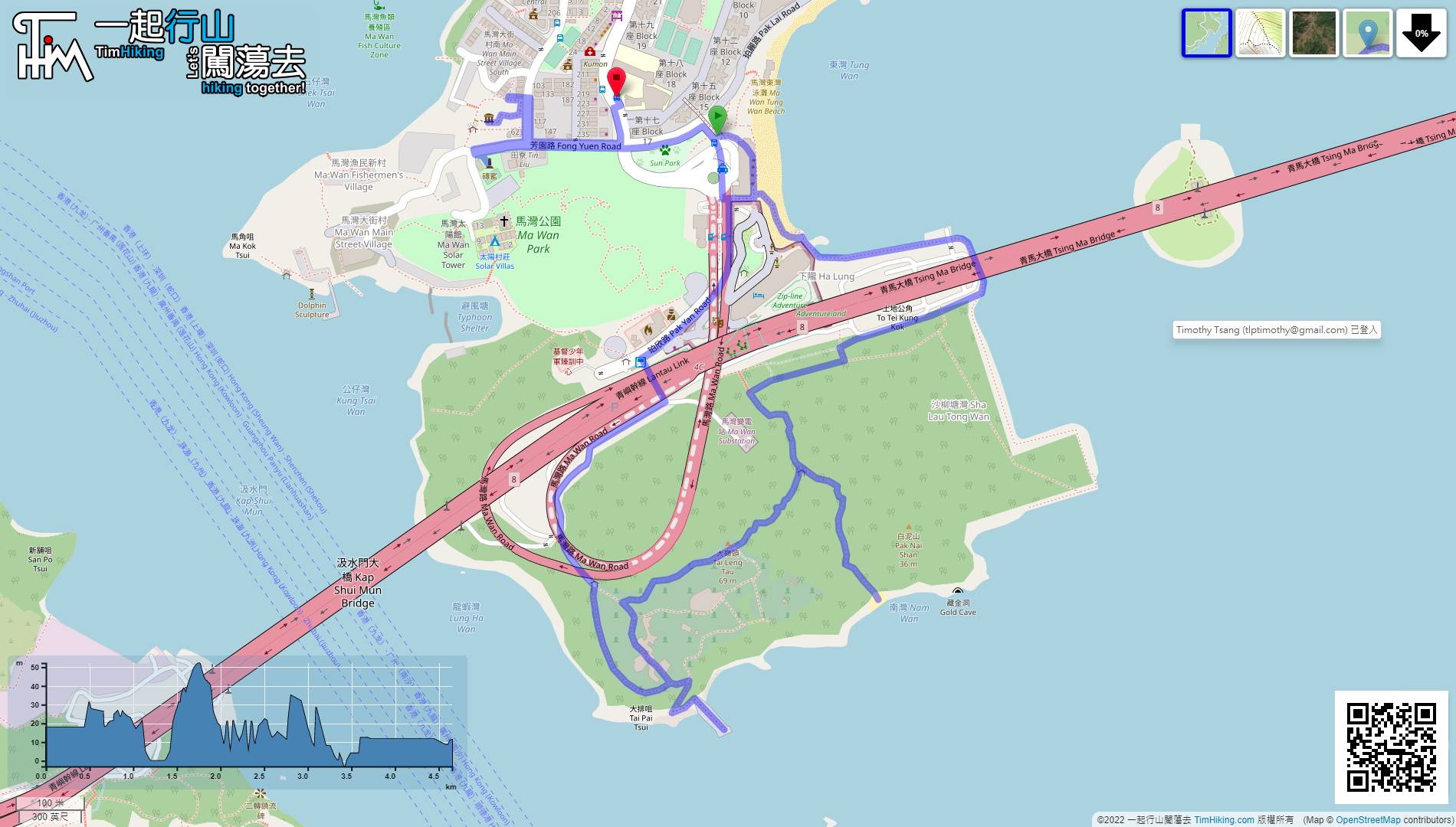
| Length : | 4.7km | ||
| Time : | 2½hours | ||
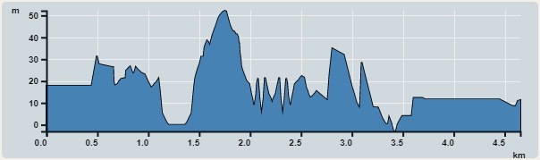 | |
| Ascent : 239m | Descent : 213m |
| Max : 52m | Min : 0m |
| (The accuracy of elevation is +/-30m) | |


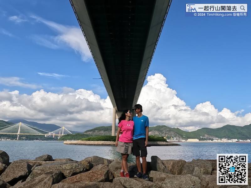
 10︰then turn left under the bridge.
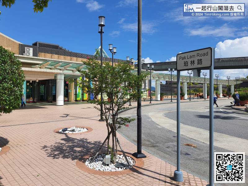
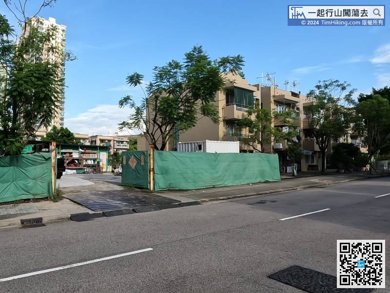
First take a bus or ferry to Ma Wan, most of the buses get off at Pak Lam Road.
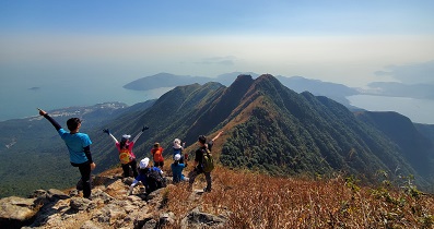
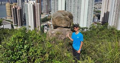
14︰Continue up the mountain by following the path on the left,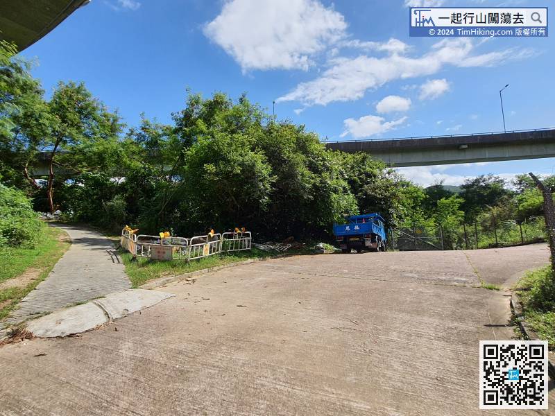 33︰On the left, you can also find the Trigonometrical Station of Tai Leng Tau. There is no open scenery.
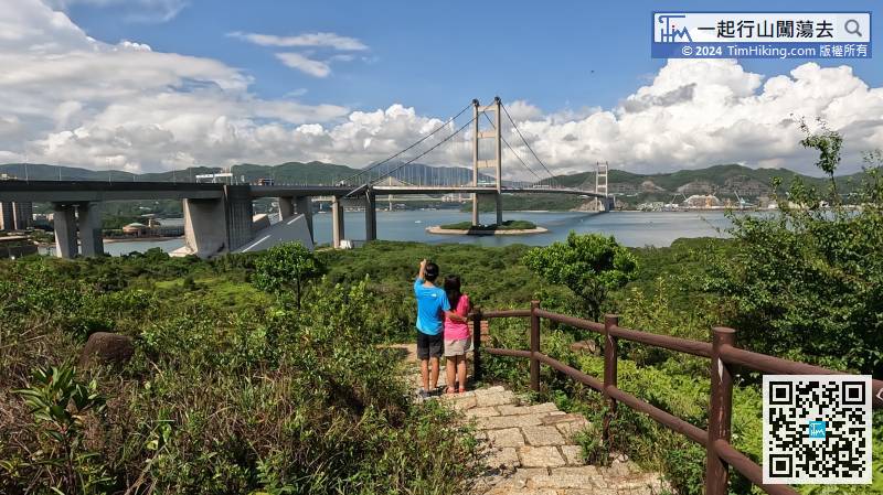
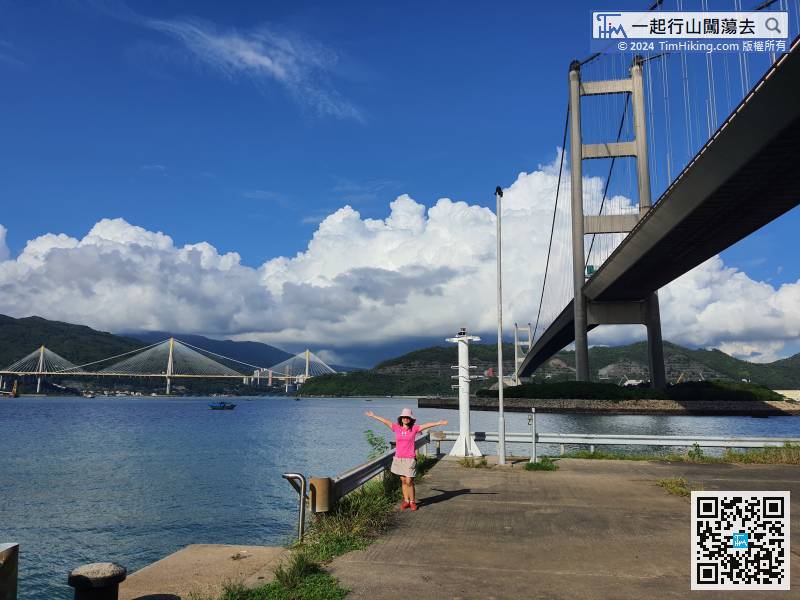
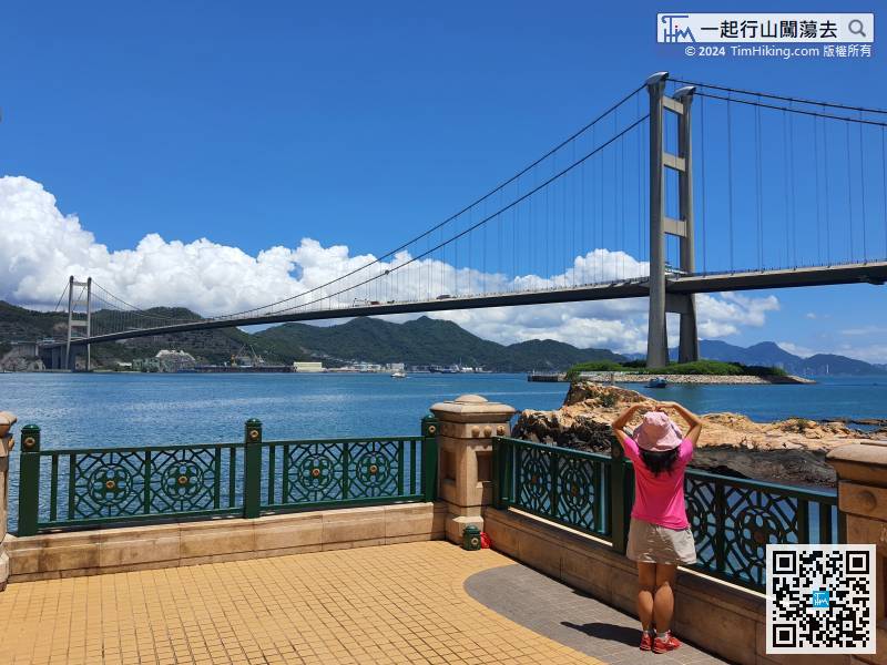
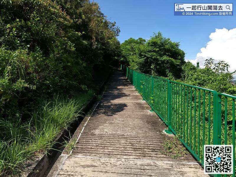 35︰and the beautiful Tsing Ma Bridge is at the back.
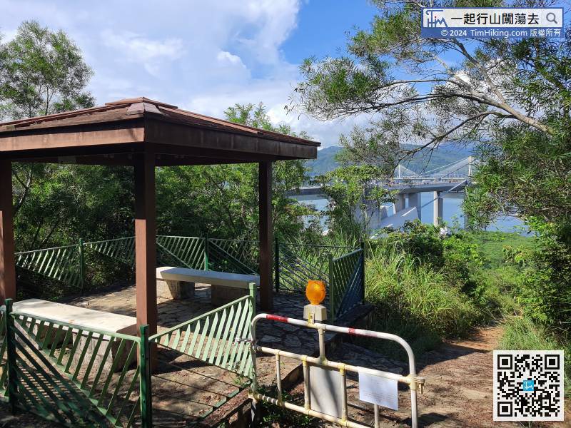 47︰When the tide is high, almost the entire beach will be covered by seawater, which is very different. Because there are too many reefs in the South Bay, most people come to fish and it is not suitable for swimming.
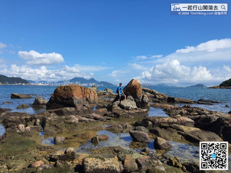
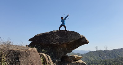
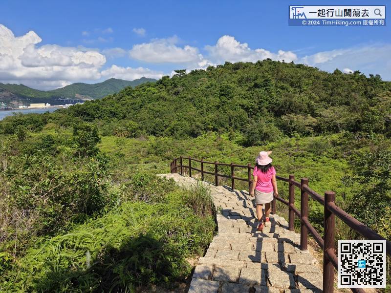 50︰On the way, you will see another Trigonometrical Station.
The original road turns back to the bifurcation, walk towards the dirt trail,
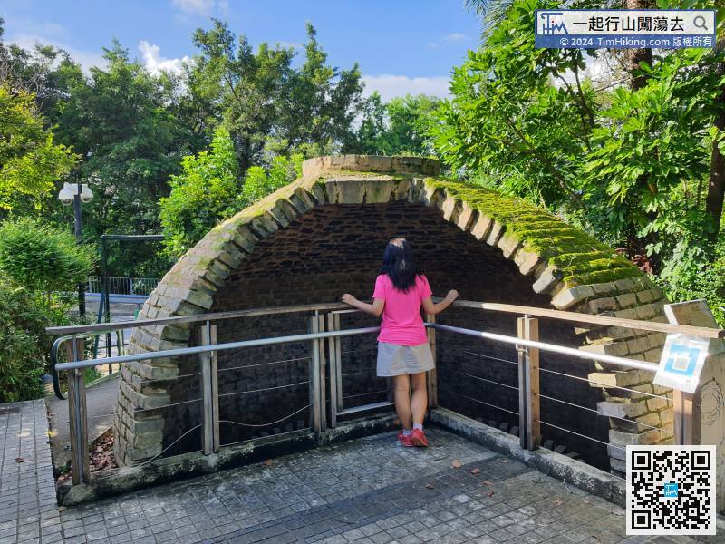
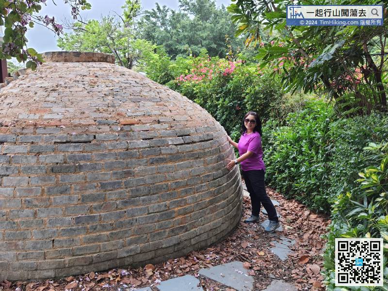
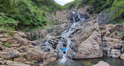
 80︰It is the Qing Dynasty brick kiln.


