


 Recommend YouTube


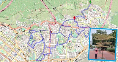
| View : |  | ||
| Difficulty : |  | ||
| Path : | |||
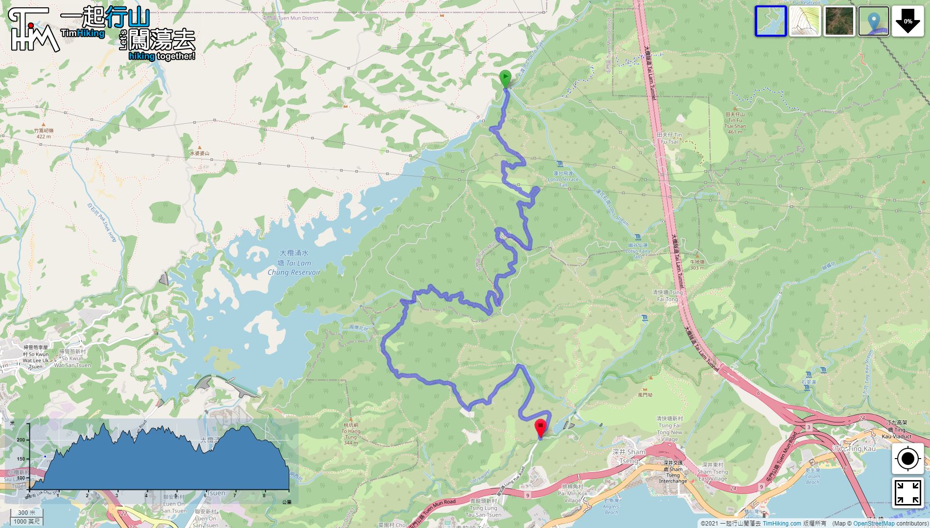
| Length : | 8.8km | ||
| Time : | 4hours | ||
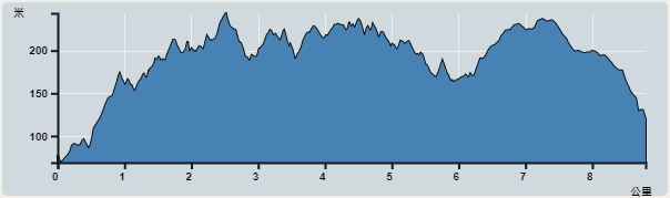 | |
| Ascent : 566m | Descent : 519m |
| Max : 244m | Min : 69m |
| (The accuracy of elevation is +/-30m) | |


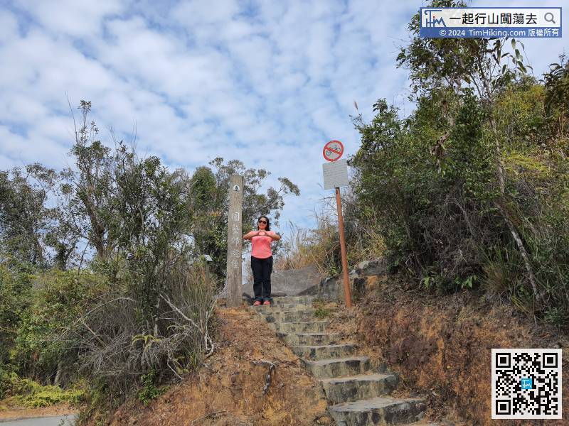
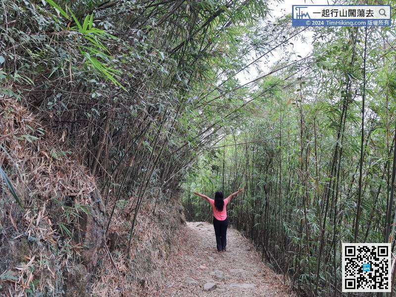
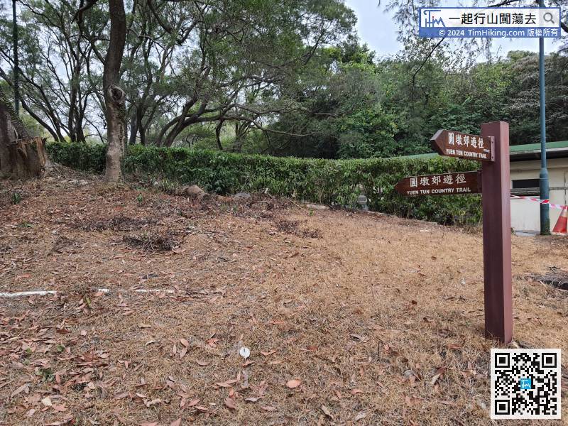
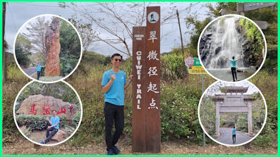
 9︰There is a big wooden stake at the entrance of the trail.
 22︰with bifurcated intersections from time to time,
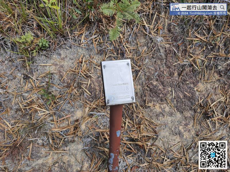
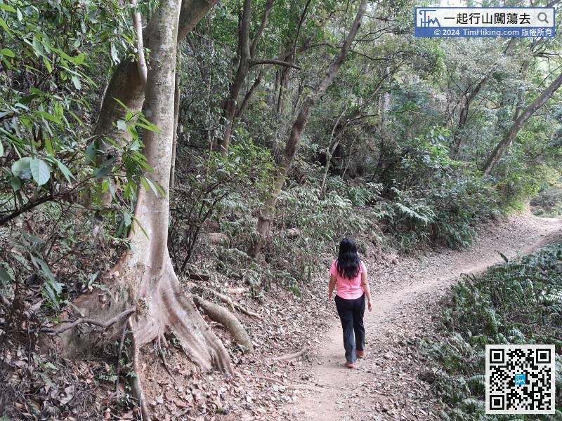
There is a distance post about every 500 meters, but the distance is very different. The length between C6319 and C6318 is 730 meters.
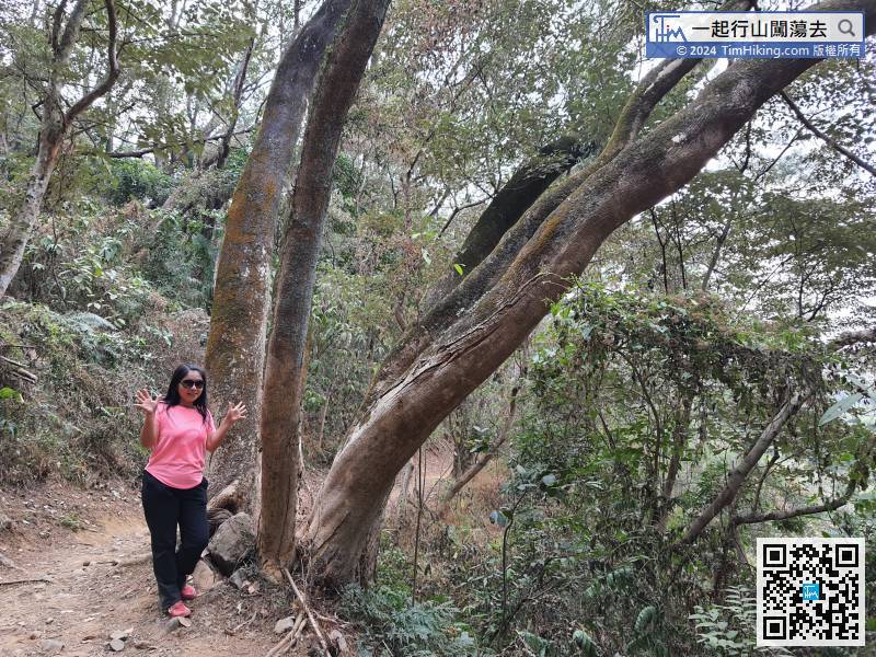
35︰Next, come to another fork,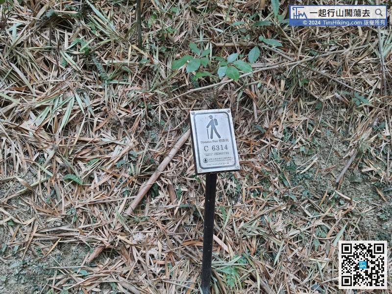 56︰At the crossroads, can find the distance post C6309,
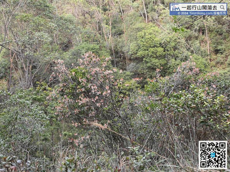
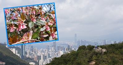
There are many Chinese New Year Flowers in this section of the Yuen Tun Country Trail.
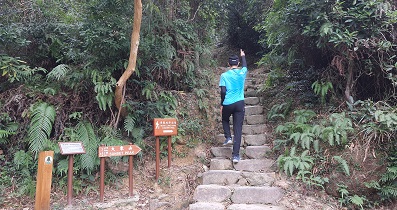
60︰Pay attention to the bifurcation,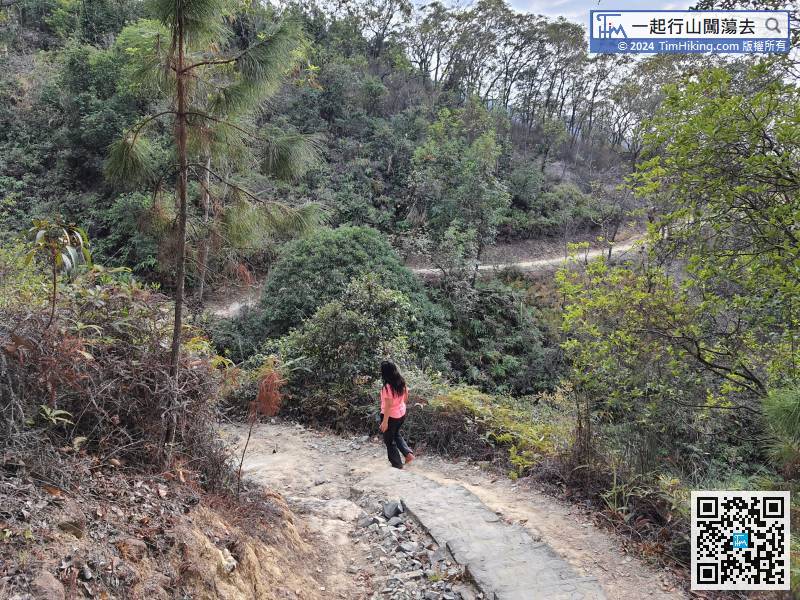 78︰After going straight for a while,
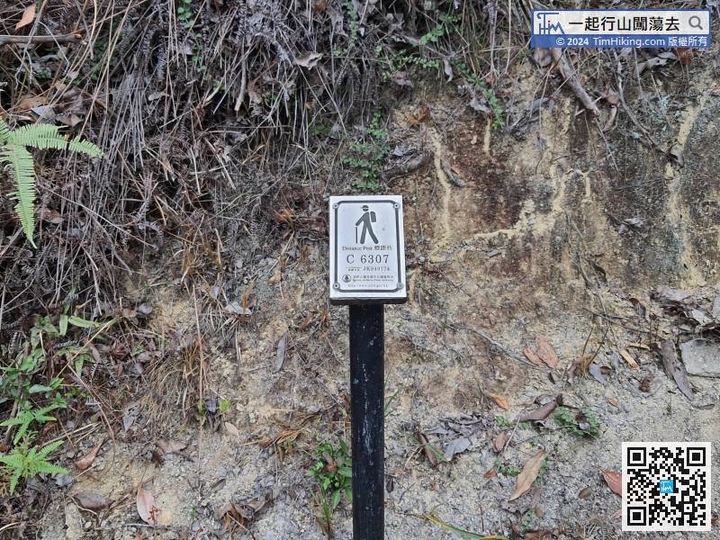
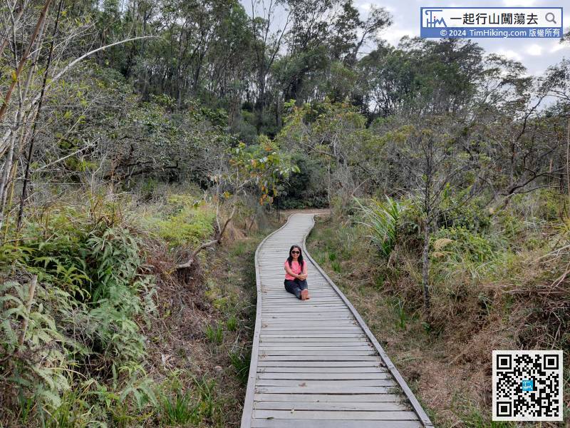
After seeing the distance post C6307, there is about 1 km remaining on the dirt trail,
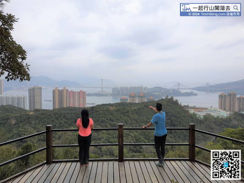
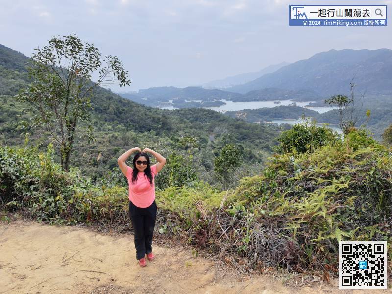
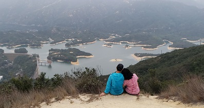
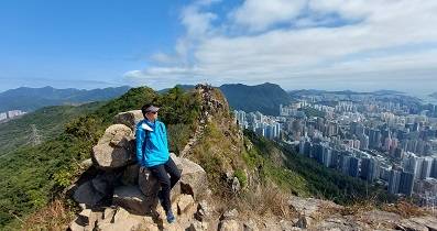
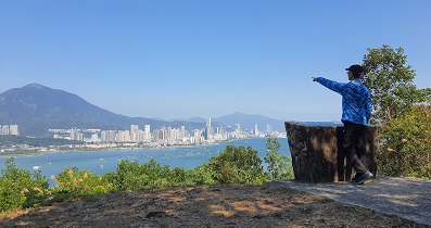
 103︰and a distinctive wooden platform overlooking the intoxicating scenery of the Three Bridges.
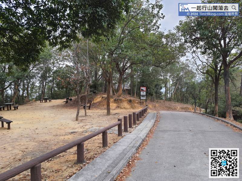 113︰will pass Sham Tseng Water Treatment Works first.
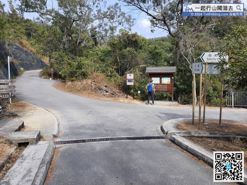
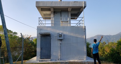
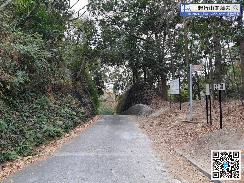
To leave, you can go right to Tsing Lung Tau, it is just a straight road.


