


 Recommend YouTube


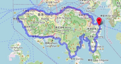
| View : |  | ||
| Difficulty : |  | ||
 (skip Tam Mound Falls) | |||
| Path : | |||
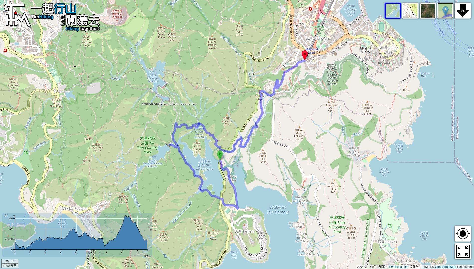
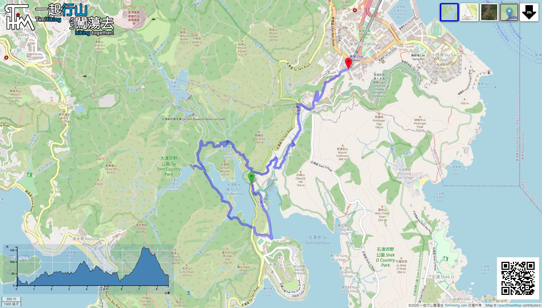
| Length : | 8.7km | ||
| Time : | 5hours | ||
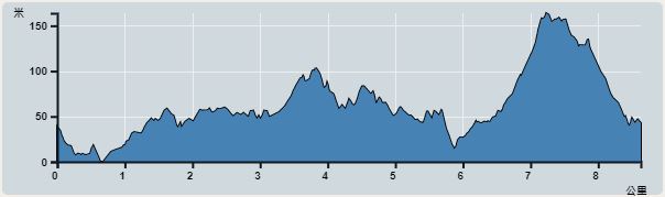 | |
| Ascent : 489m | Descent : 478m |
| Max : 163m | Min : 0m |
| (The accuracy of elevation is +/-30m) | |


 入口汽水機
入口汽水機


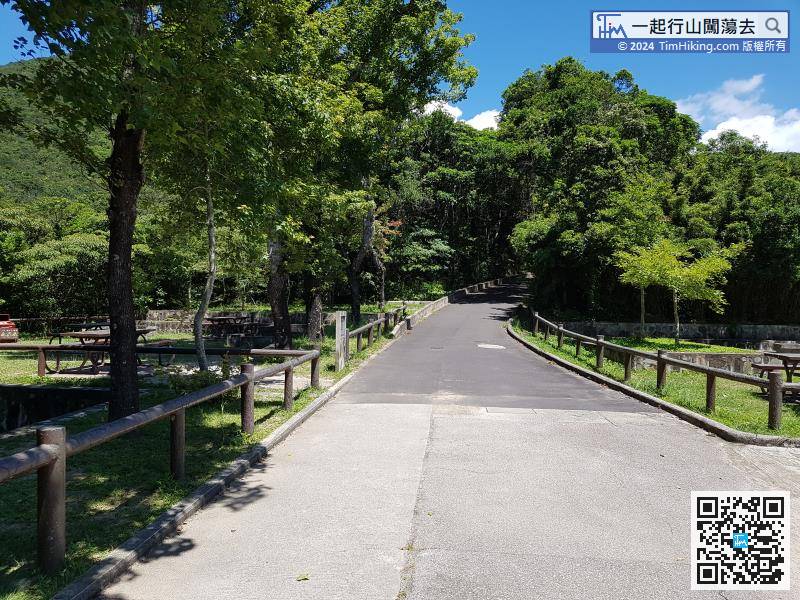
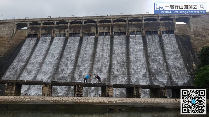
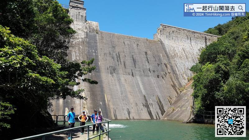
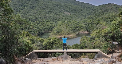
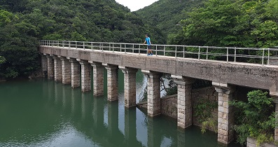
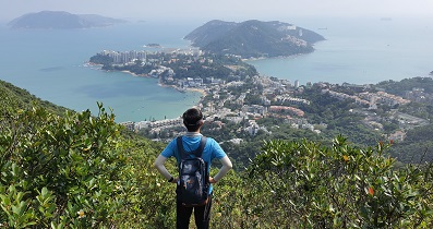
After visiting the dam of Tai Tam Intermediate Reservoir, turn back on the same road to the main path
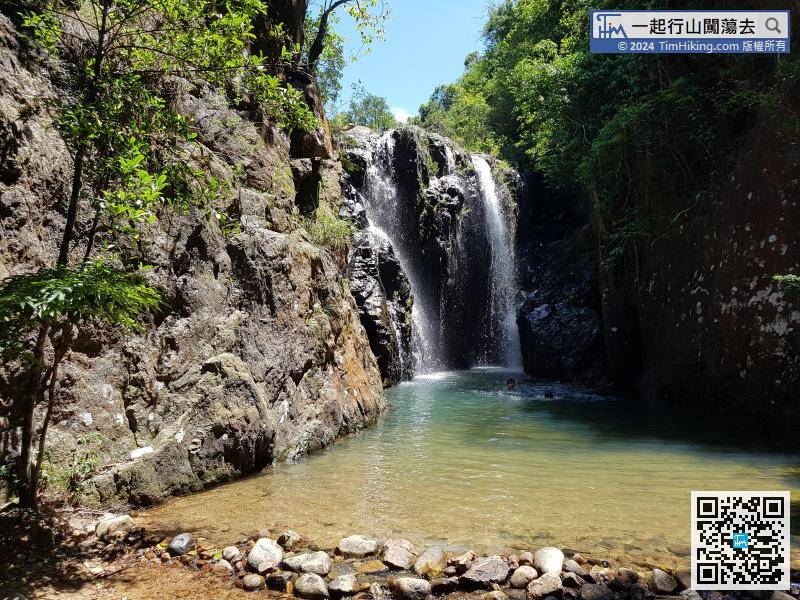
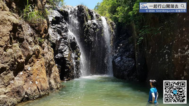
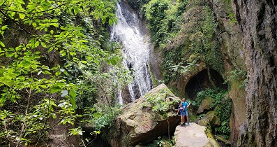
Tam Mound Falls are cliffs on three sides, and the water flows down from the front cliff wall, it is very spectacular. With the clear water pool, it is really a paradise on earth.
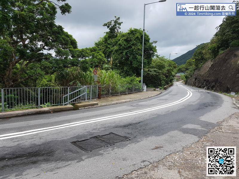
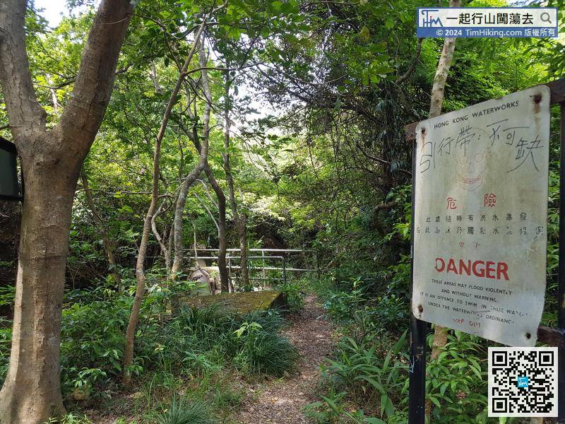
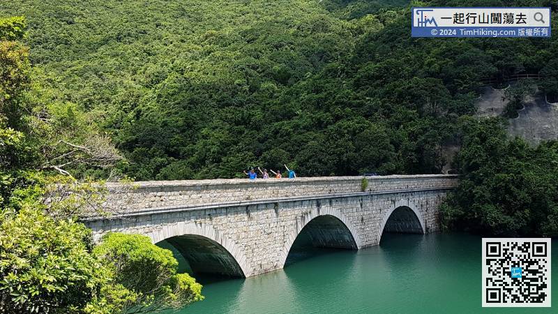
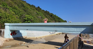
Turn left at the top of the bridge, will see a danger warning sign on the right.


