


 Recommend YouTube


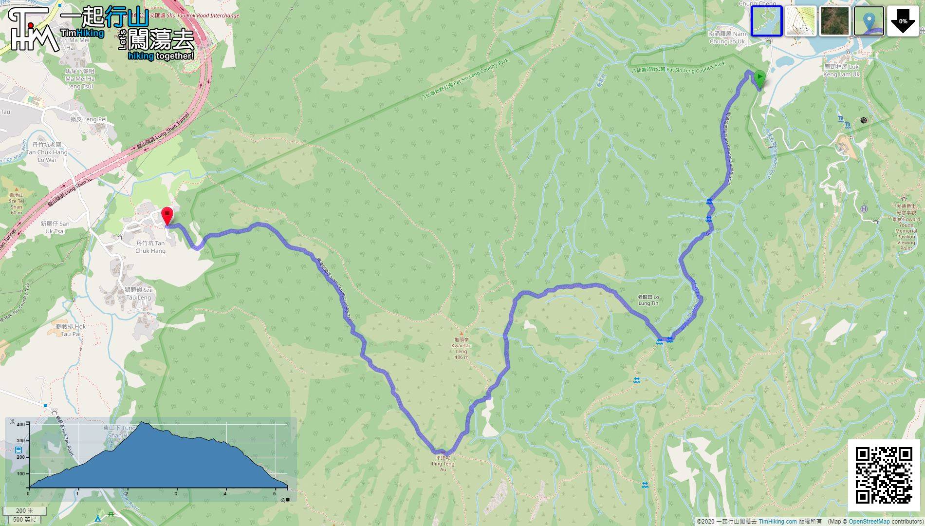
| View : |  | ||
| Difficulty : |  | ||
| Path : | |||
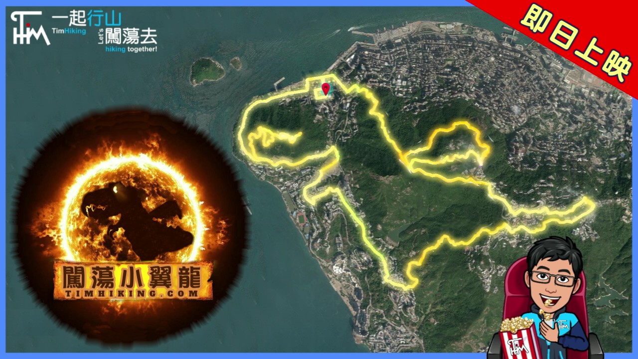
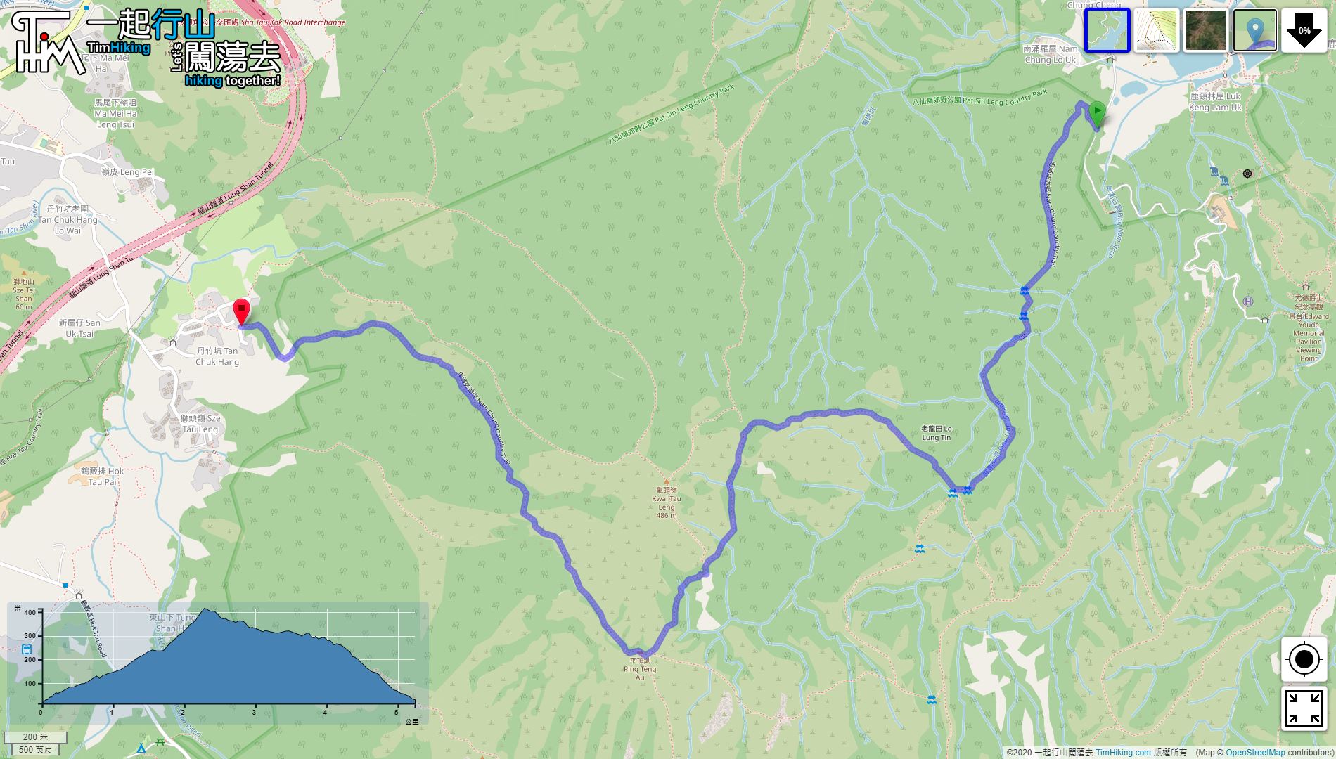
| Length : | 5.3km | ||
| Time : | 2½hours | ||
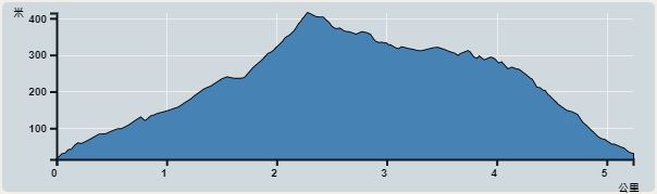 | |
| Ascent : 479m | Descent : 459m |
| Max : 414m | Min : 15m |
| (The accuracy of elevation is +/-30m) | |


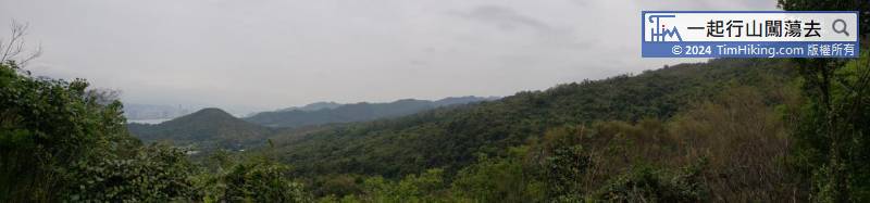
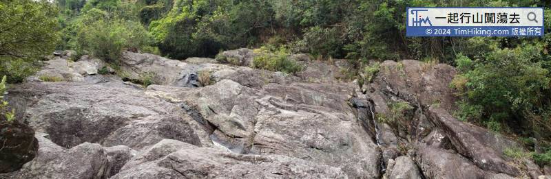
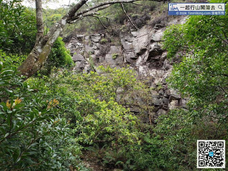
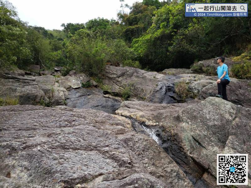
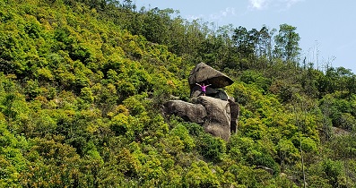
After passing through the Ping Nam Stream, continue along the trail, will see the cliff next to the Ping Nam Stream.
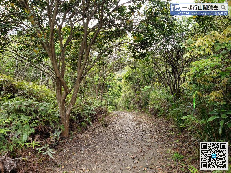
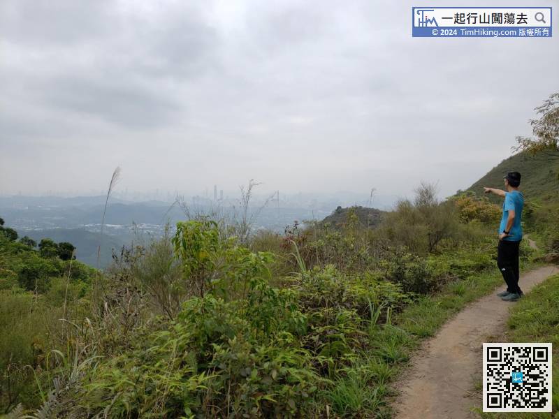
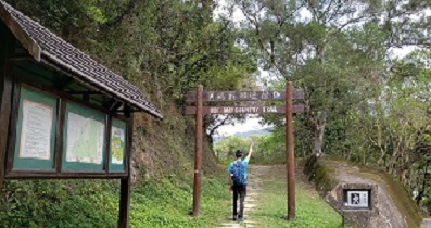
On the flat road, enter the mountainside of Kwai Tau Leng, which is also the highest position of Lam Chung Country Trail.
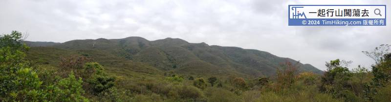
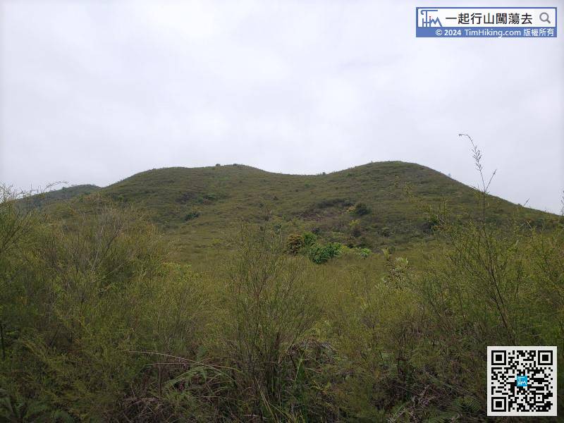
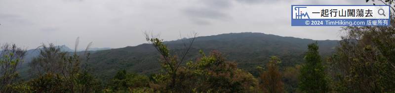
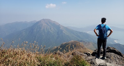
At this point, the mountain peak on the right is Kwai Tau Leng,


