


 Recommend YouTube


| View : |  | ||
| Difficulty : |  | ||
| Path : | |||
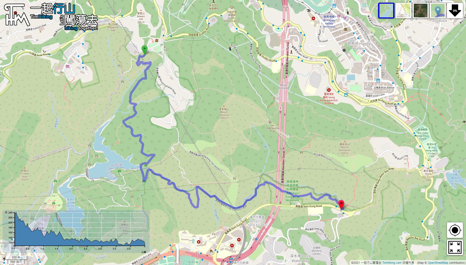
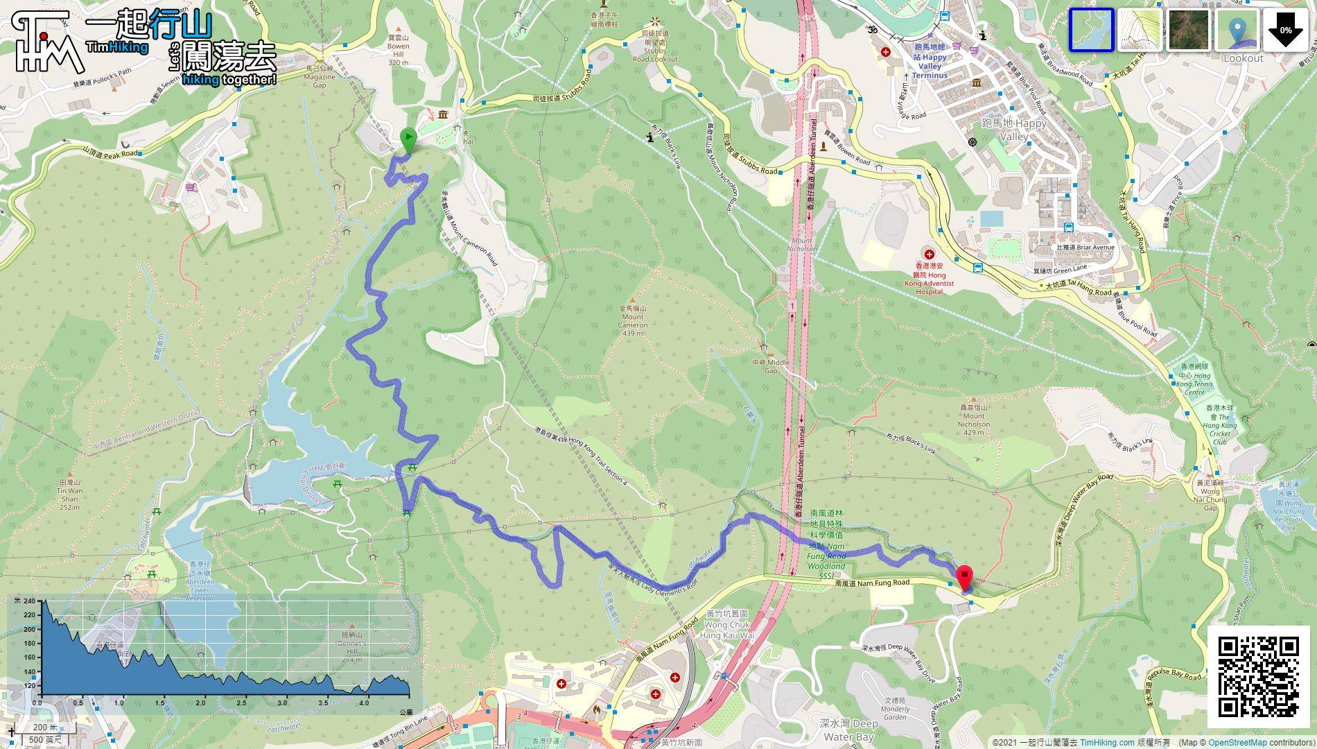
| Length : | 4.6km | ||
| Time : | 1½hours | ||
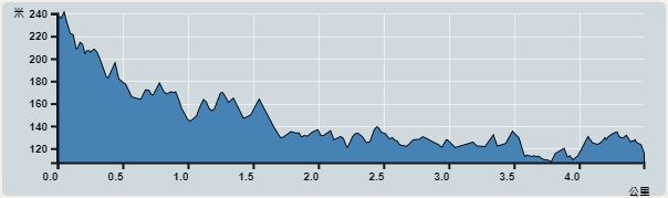 | |
| Ascent : 265m | Descent : 385m |
| Max : 239m | Min : 107m |
| (The accuracy of elevation is +/-30m) | |


 3︰Then, return to the intersection in the opposite direction,
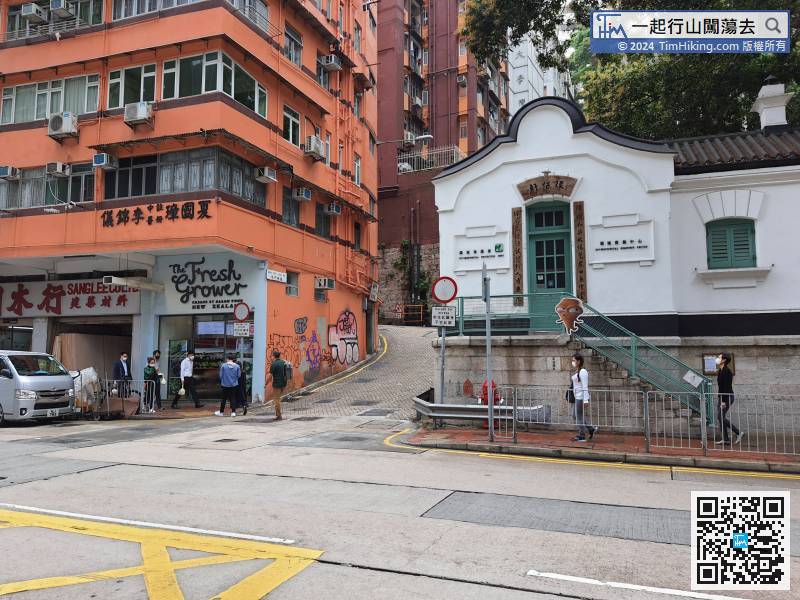
The starting point is at Wan Chai Gap. Hikers can go from Wan Chai Station via Wan Chai Nature Path, about 1.9km,
10︰When reaching the bifurcation,
 39︰come to a more complicated intersection.
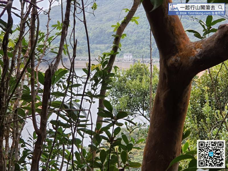
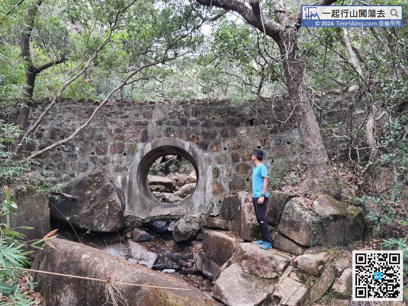
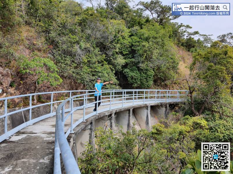
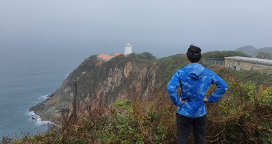
In this section, can peek at the dam of Aberdeen Upper Reservoir.
47︰do not keep following the direction of Hong Kong Trail anymore,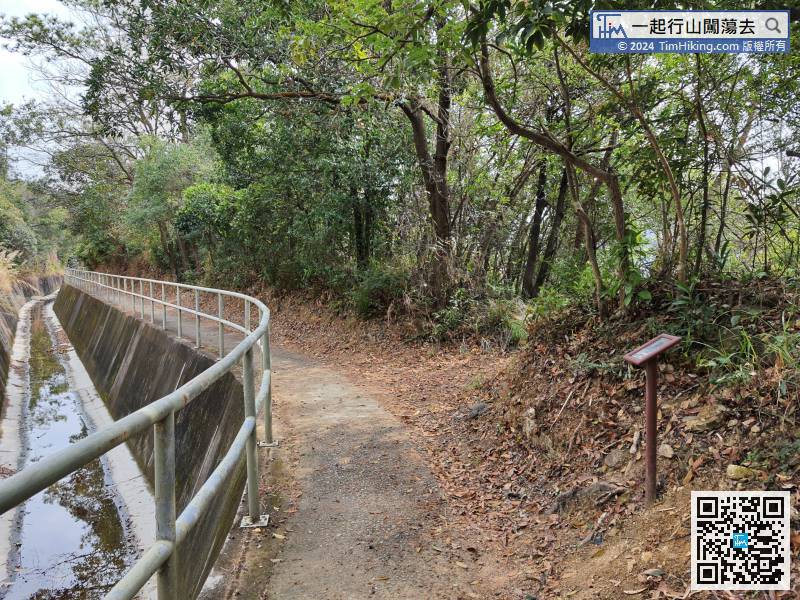 52︰Pay attention to the right of catchwater.
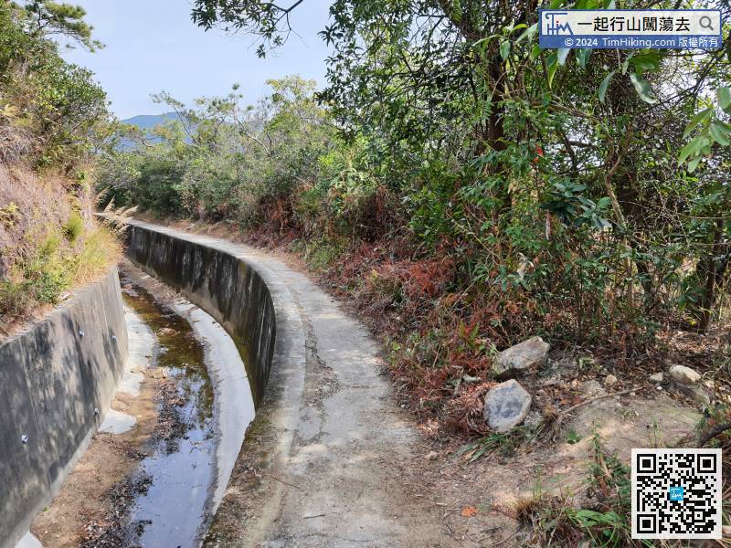 63︰but there are two consecutive bifurcations along the way. The problem is no official signs.
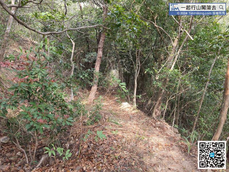 75︰will take back to the official trail
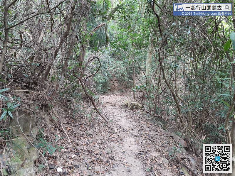
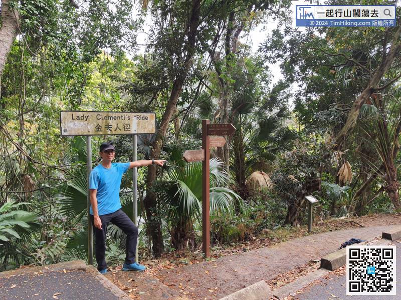
The Lady Clementi's Ride in the end section is relatively primitive,


