


 Recommend YouTube


| View : |  | ||
| Difficulty : |  | ||
| Path : | |||
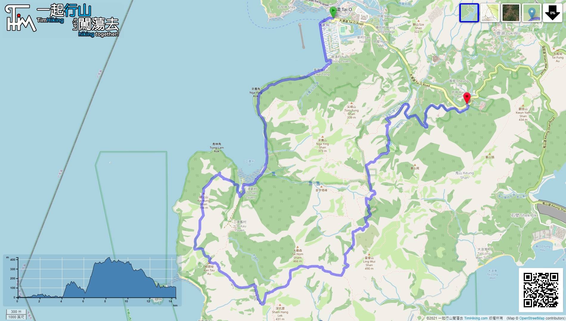
| Length : | 14.5km | ||
| Time : | 8hours | ||
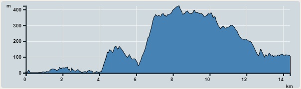 | |
| Ascent : 1,222m | Descent : 1,015m |
| Max : 422m | Min : 0m |
| (The accuracy of elevation is +/-30m) | |


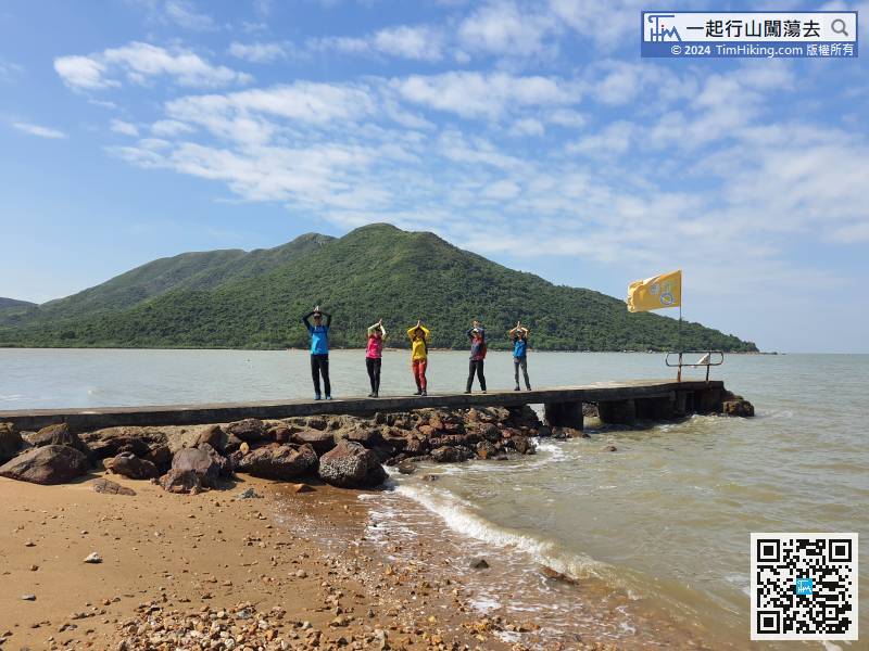
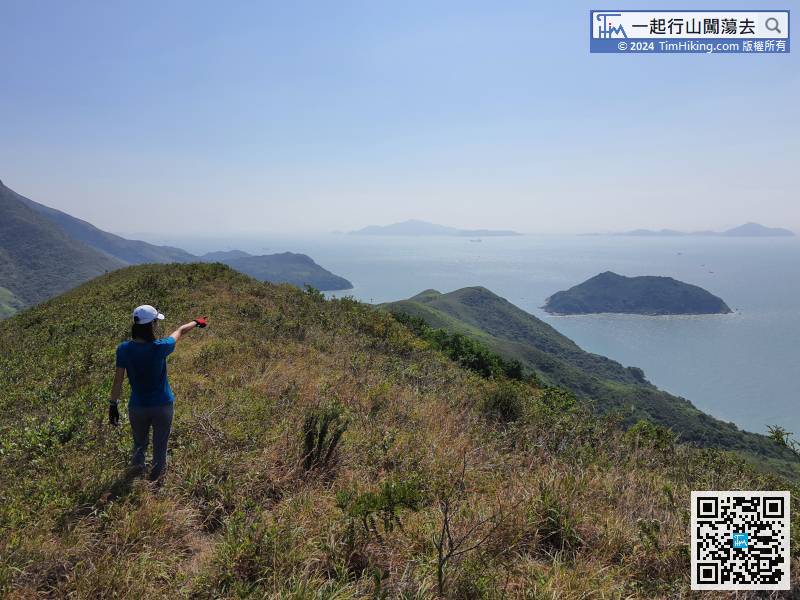
 15︰and then walk a flat road to Yi O Pier. Kai Kung Shan (Yi O) is behind,
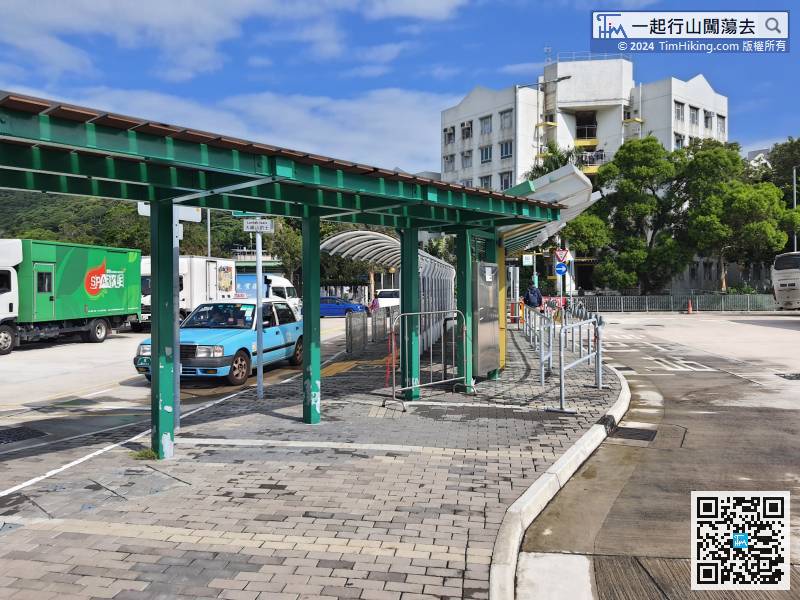
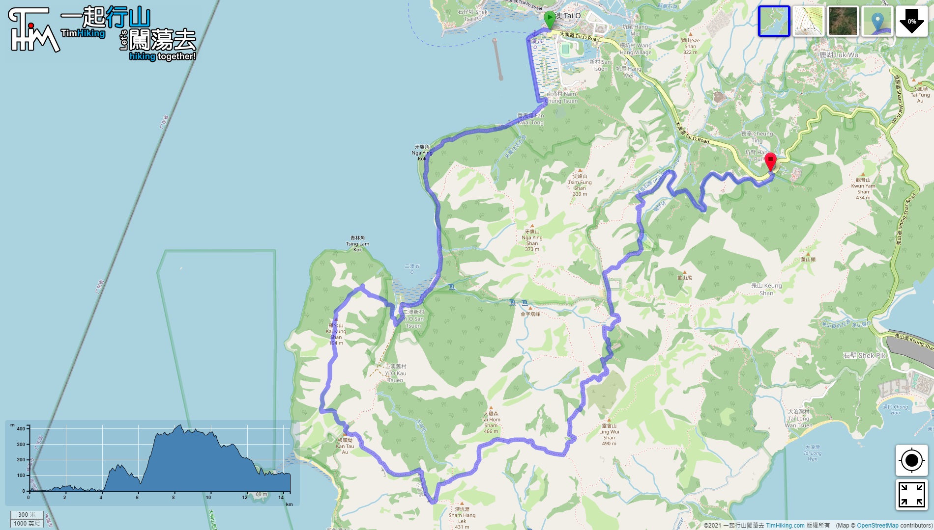
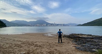
The starting point is Tai O. Hikers can take bus 11 or Tuen Mun Kaito via Tung Chung.
29︰just go along the road. At the end of the concrete road, will find a barren trail up the mountain on the left-hand side.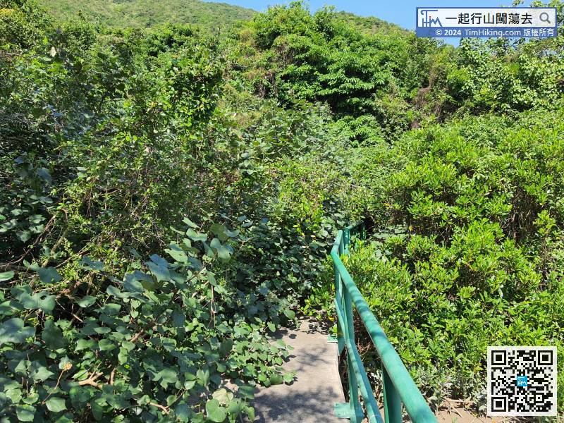
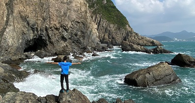
After crossing the concrete bridge, already come to the foot of Kai Kung Shan.
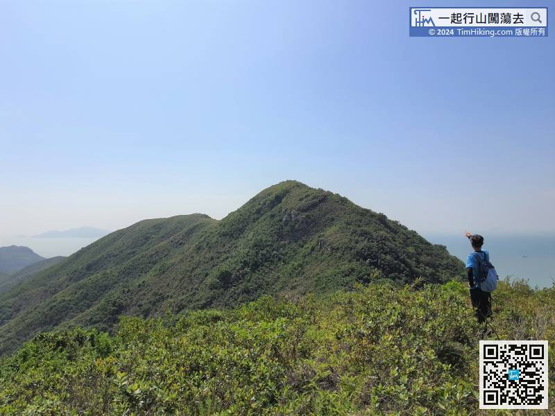
44︰After walking about 500 meters, pay attention to the trigonometrical station of Kai Kung Shan on the right-hand side. Remember this intersection before going ahead.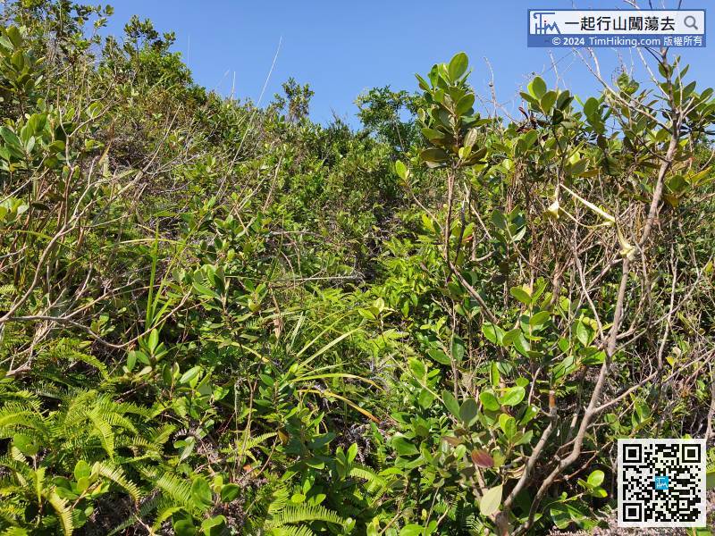
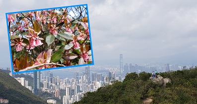
The climb distance is only about 400 meters, but it has already taken 50 minutes, which is about one-fifth of the Kai Kung Shan (Yi O) route.
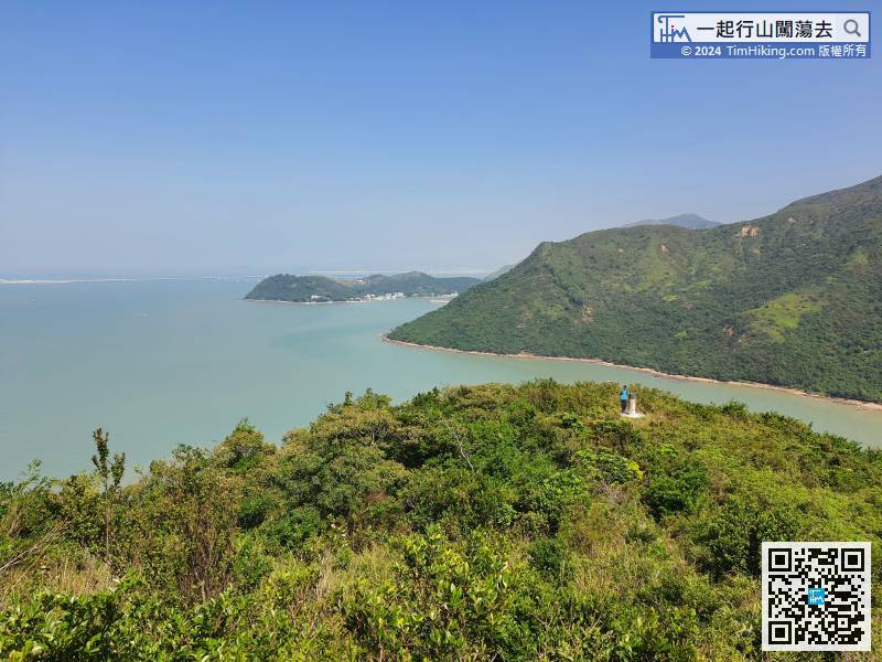
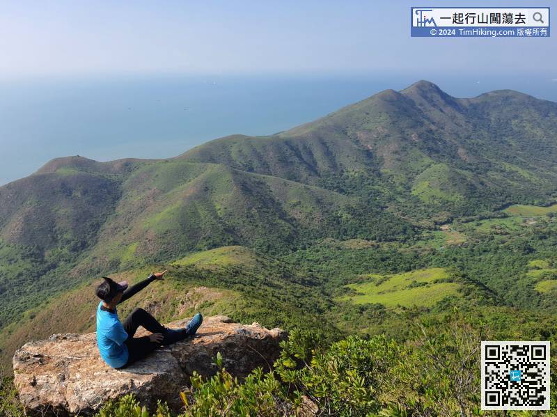
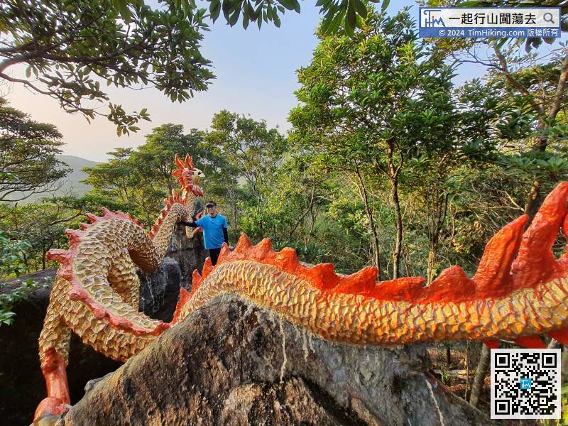
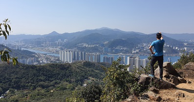
78︰Keep looking at Siu Ping Fung.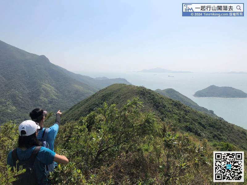
Next is the downhill section.
87︰It is only 1 minute away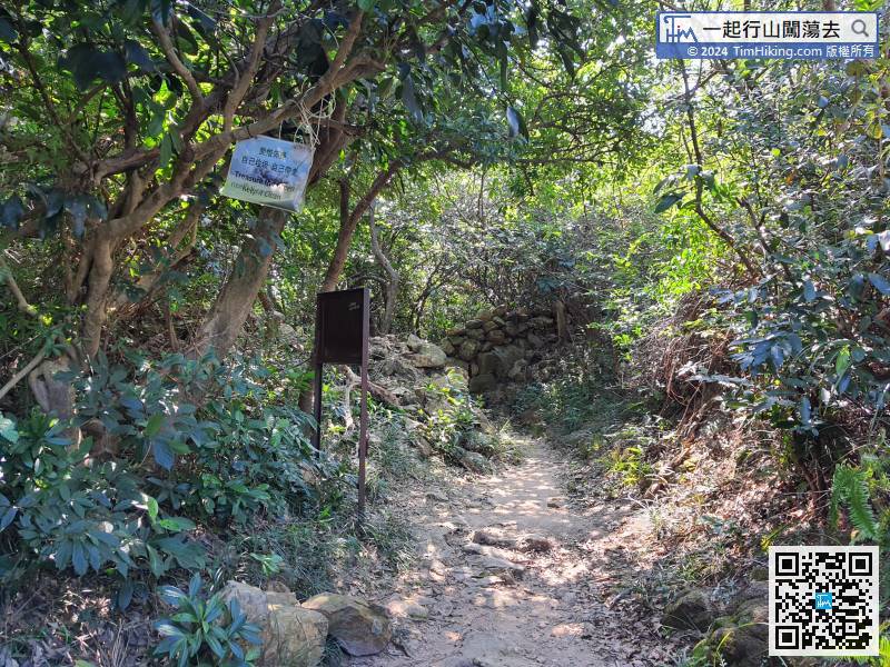
Shortly after turning to the right on Lantau Trail,
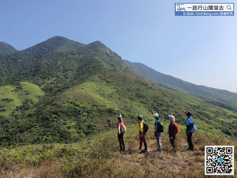
109︰After a successful climb, there is still about half an hour from Siu Ping Fung.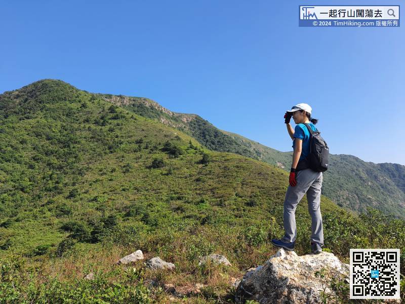
After a successful climb, there is still about half an hour from Siu Ping Fung.
129︰there is a trigonometrical station on the top of the mountain.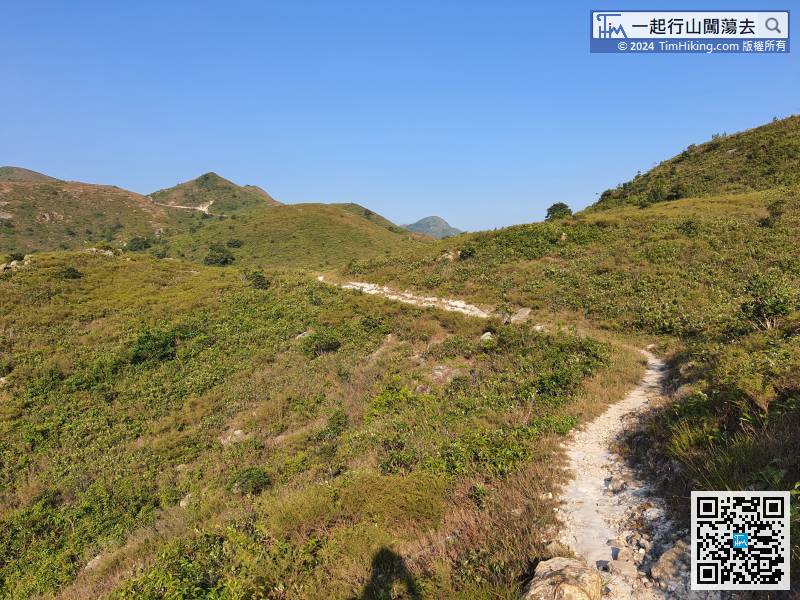
The main attractions have been visited,
149︰just at the beginning of another large stone step, can find a barren trail on the right-hand side.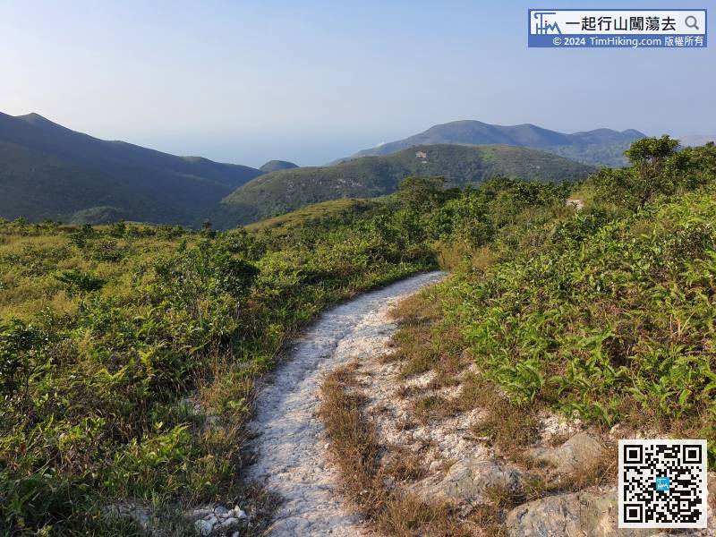
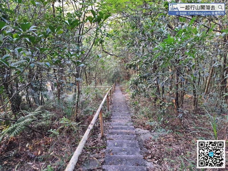
The trails are all well-made dirt trails.
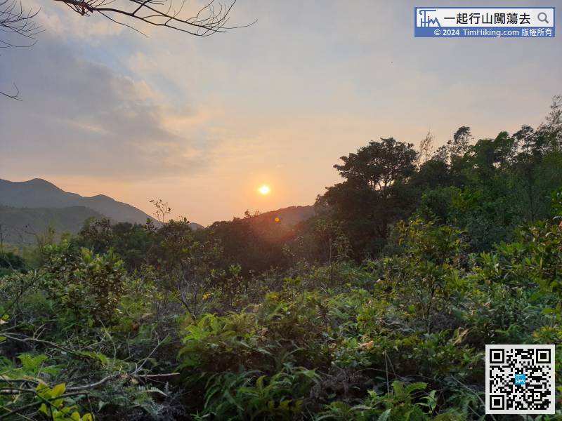
Suddenly, the sunset has already begun.


