


 Recommend YouTube


| View : |  | ||
| Difficulty : |  | ||
| Path : | |||
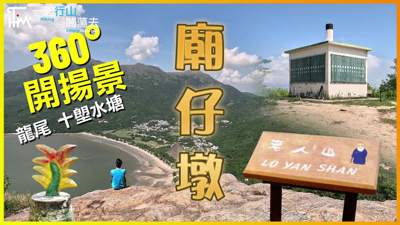
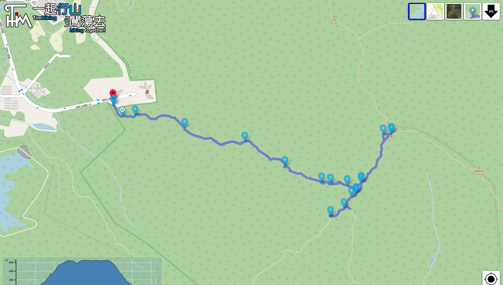
| Length : | 7.3km | ||
| Time : | 6hours | ||
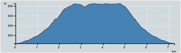 | |
| Ascent : 1,070m | Descent : 1,069m |
| Max : 852m | Min : 31m |
| (The accuracy of elevation is +/-30m) | |


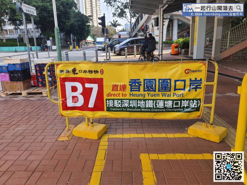
First of all, passing customs. Take bus B7 at Fanling Station to Heung Yuen Wai Boundary Control Point. It is a relatively convenient choice to take the near transportation in Shenzhen.
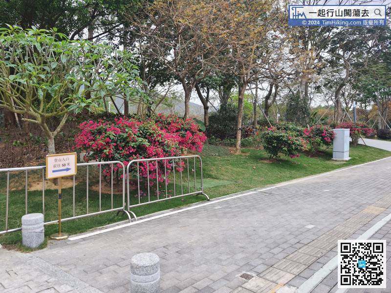
On the sidewalk, you can see the road sign leading to the mountain climbing entrance.
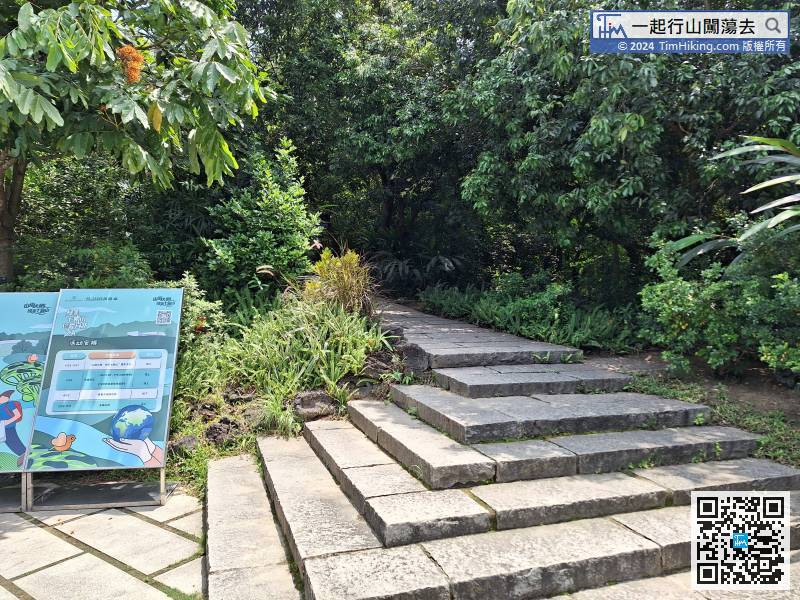
When everything is ready, step on the steps and start climbing.
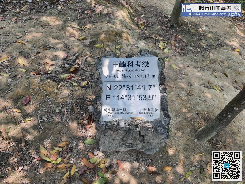
Come to the mileage plate for 1 kilometre, the altitude is 199 meters, and 1.9 kilometres away from the top of the mountain.
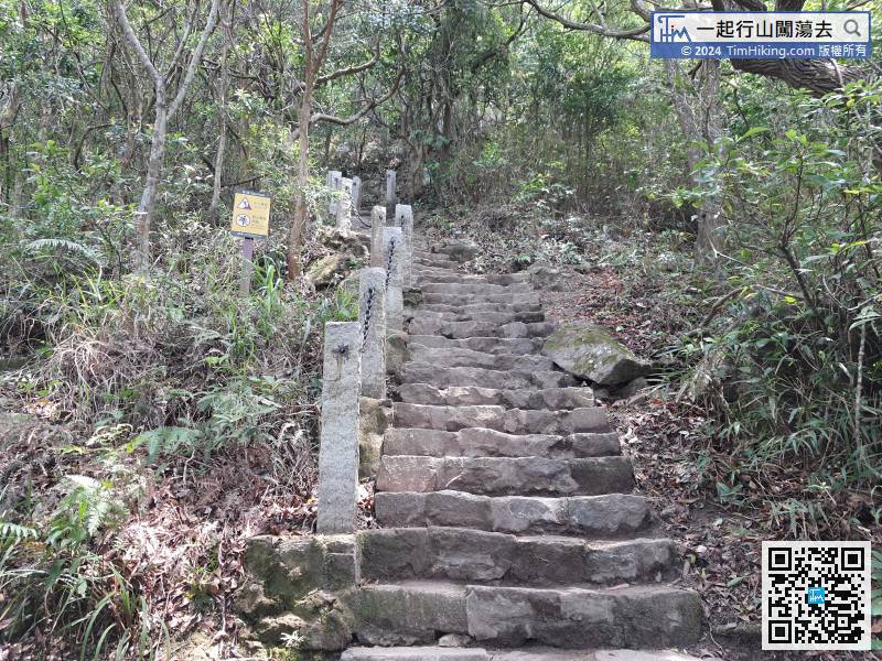
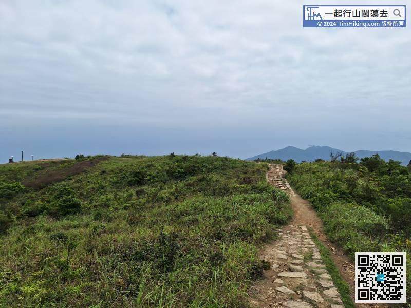
The infinite step is one after another,
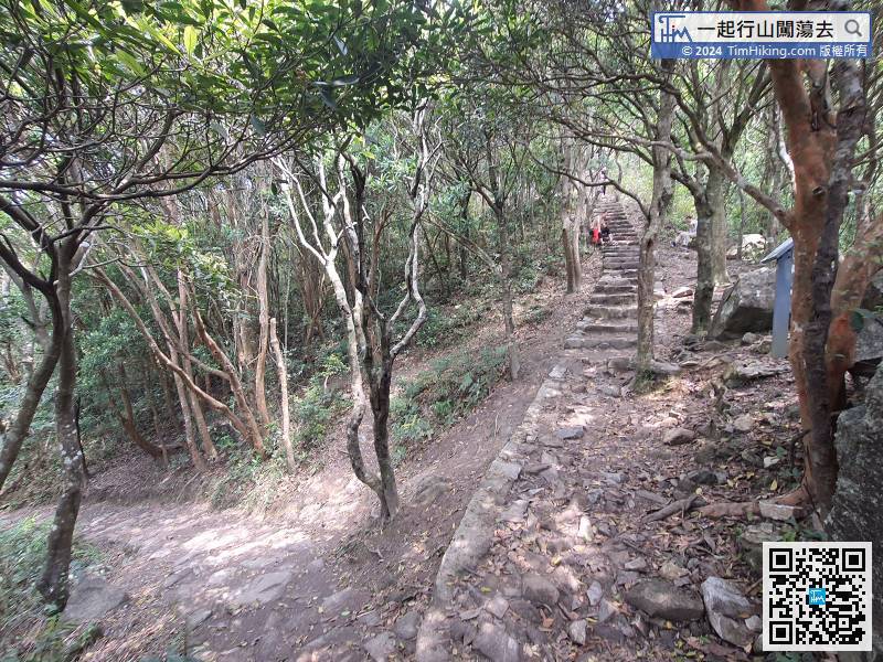
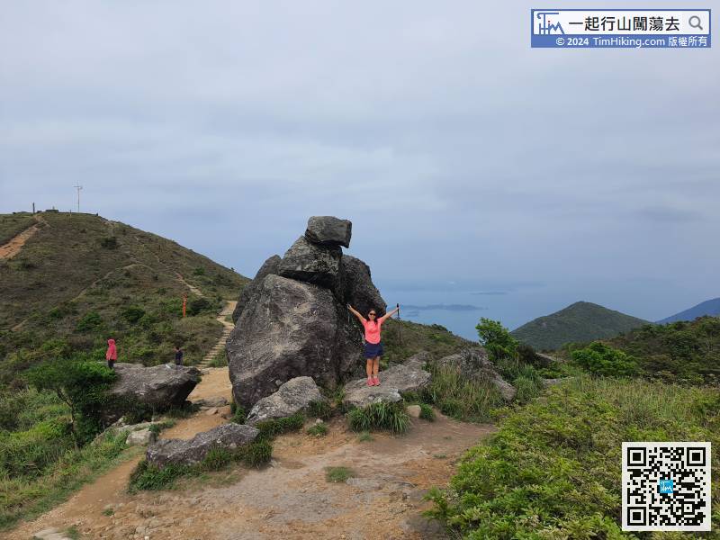
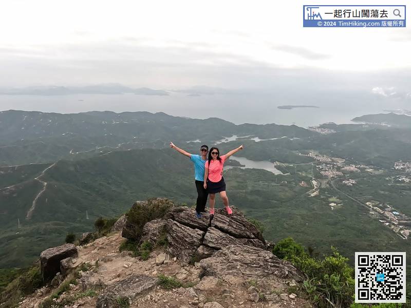
Continue to go up the steps along the road,
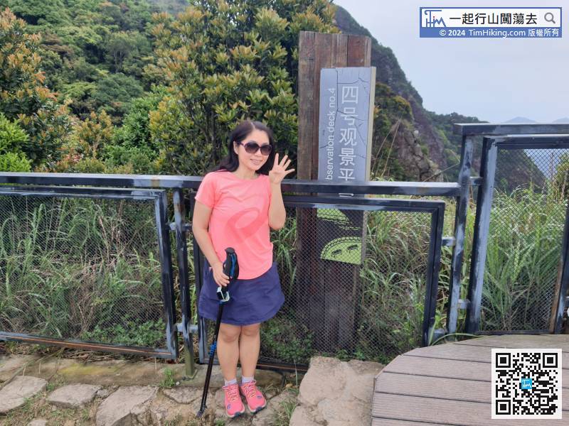
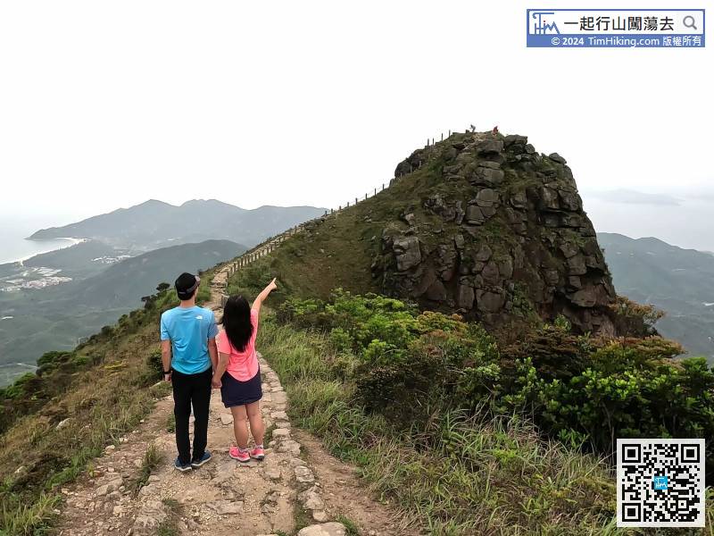
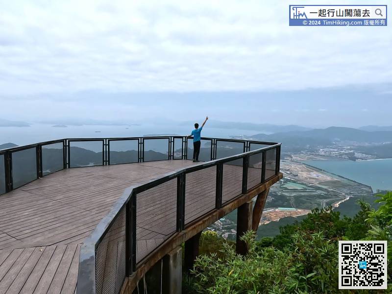
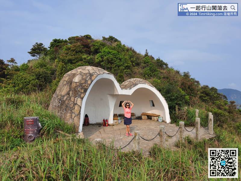
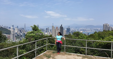
Viewing Platform No.4 is the most beautiful Viewing Platform in the whole journey.
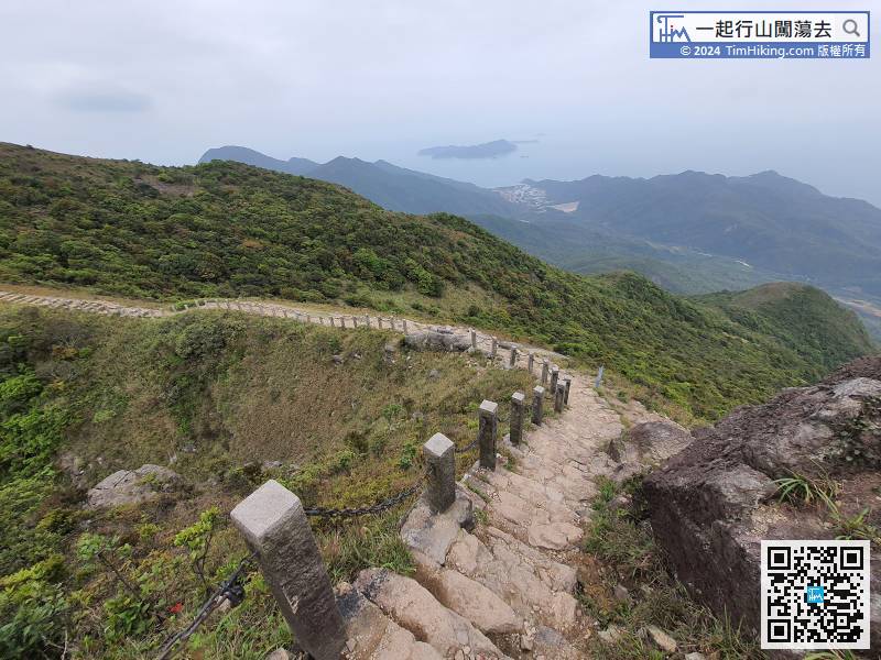
After enjoying the such magnificent scenery, turn back the same way,
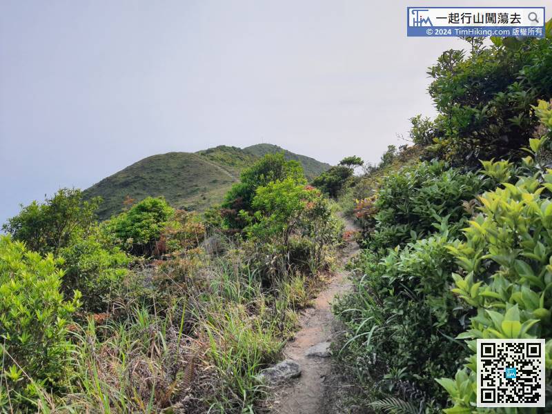
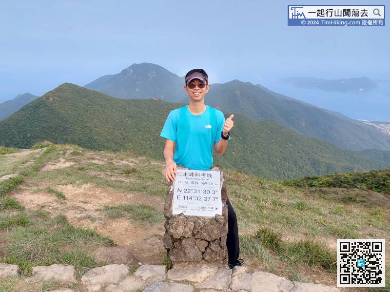
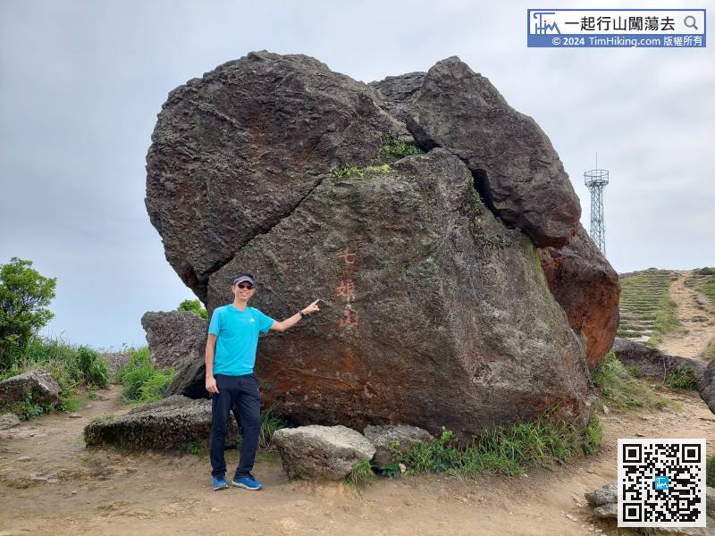
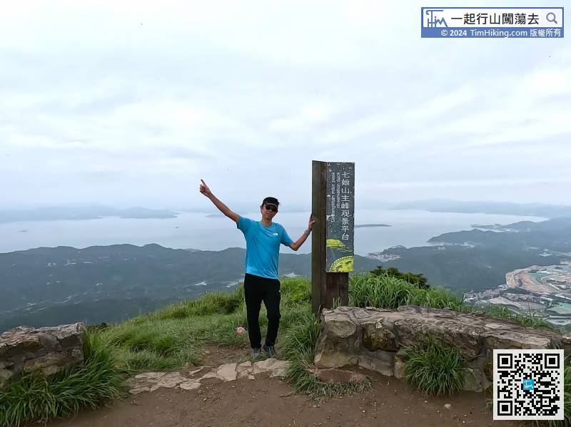
This is the end of the Main Peak Route. First, go back to Qiniang Mountain Main Peak along the road,


