


 Recommend YouTube


| View : |  | ||
| Difficulty : |  | ||
| Path : | |||
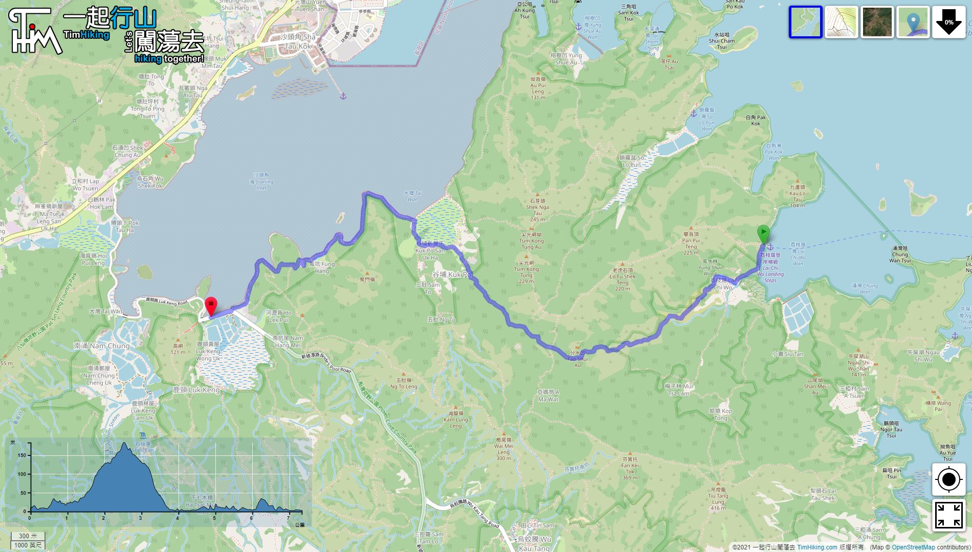
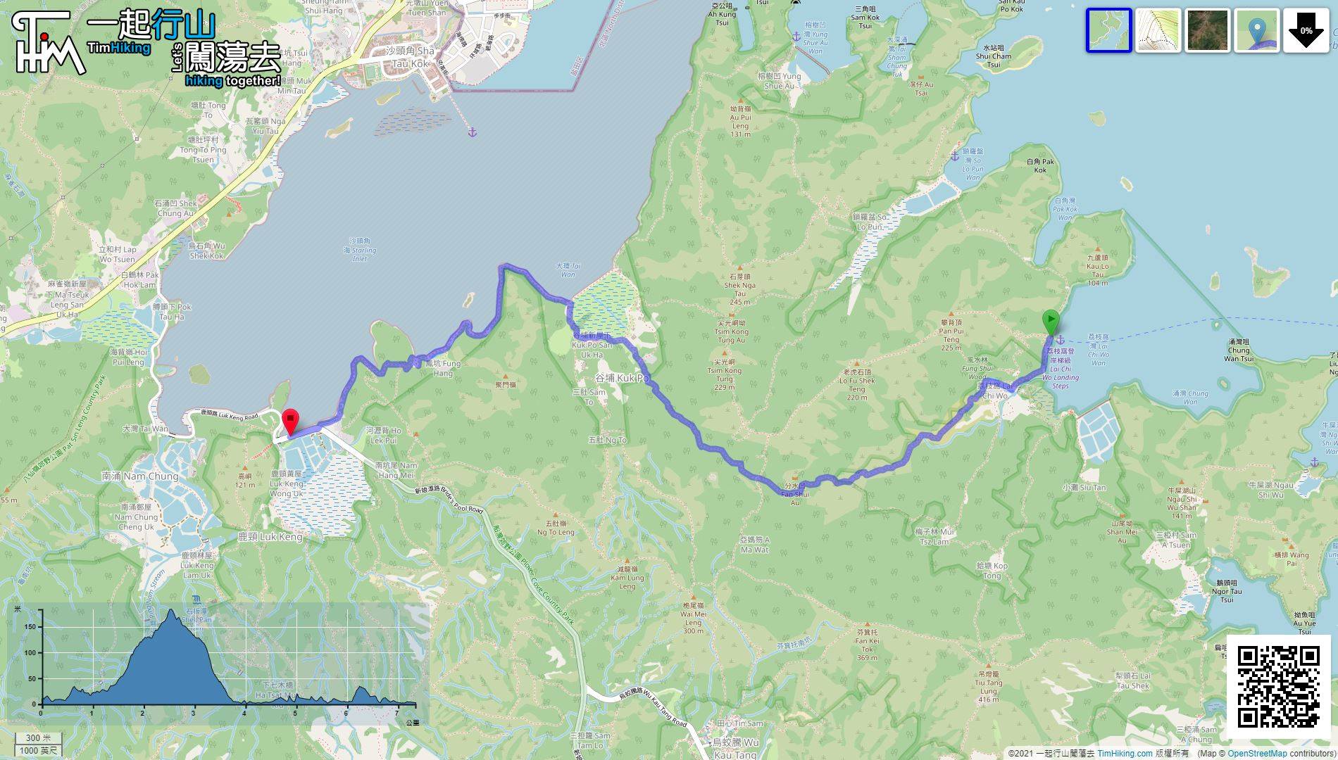
| Length : | 7.4km | ||
| Time : | 2½hours | ||
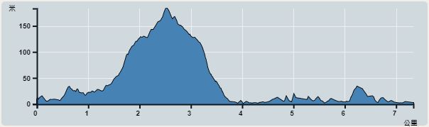 | |
| Ascent : 340m | Descent : 356m |
| Max : 184m | Min : 0m |
| (The accuracy of elevation is +/-30m) | |


 Store
Store

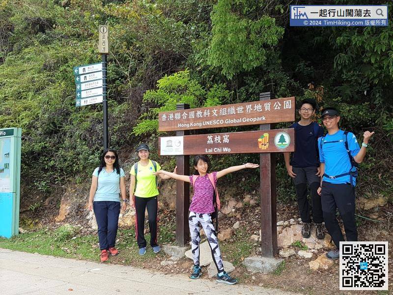
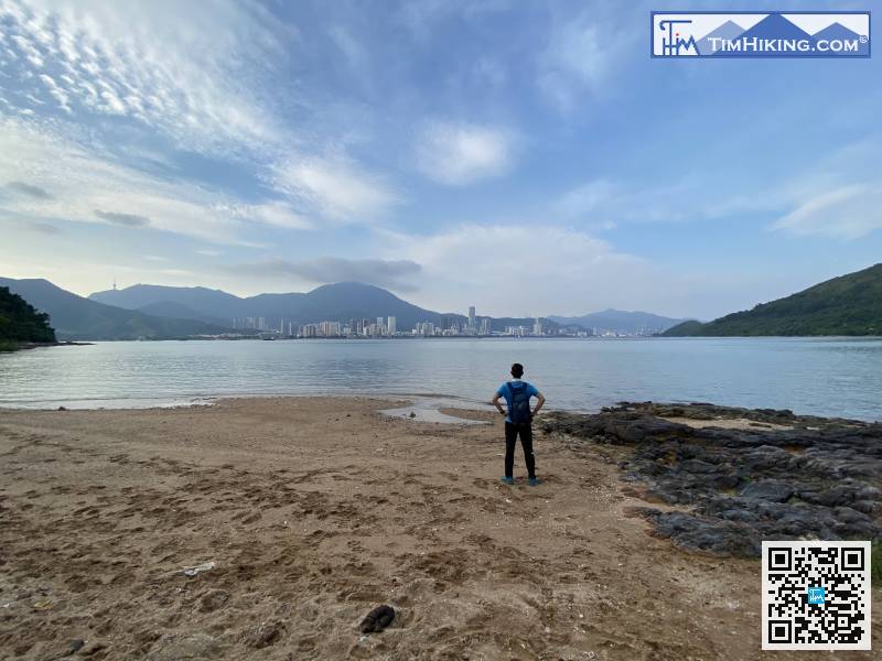
soon as you get off the Kaito, you will see the small archway of 'Hong Kong UNESCO Global Geopark - Lai Chi Wo',
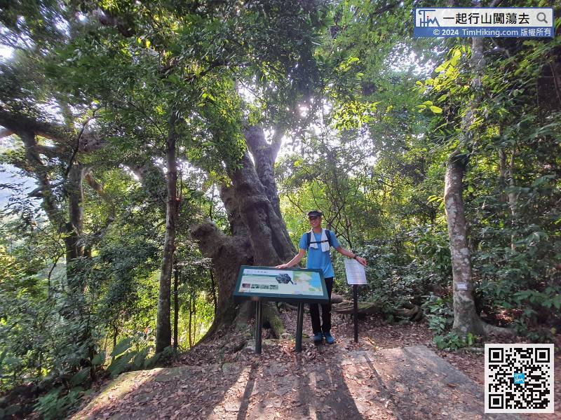
 12︰will see Autumn Maple Tree with Hollow,
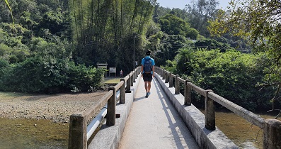
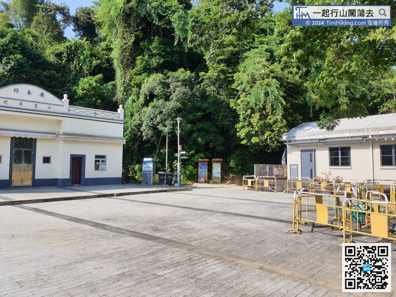 17︰cross a small stream on the way,
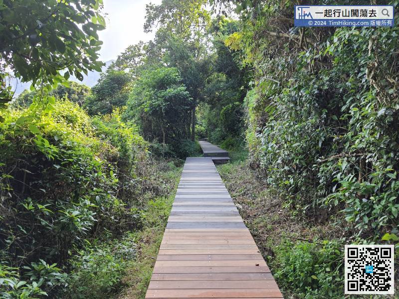
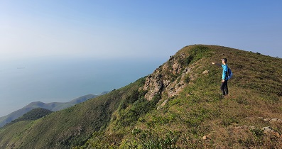
This section is actually the Double Haven Country Trail, Lai Kuk Ancient Trail, and Lai Chi Wo Natural Trail.
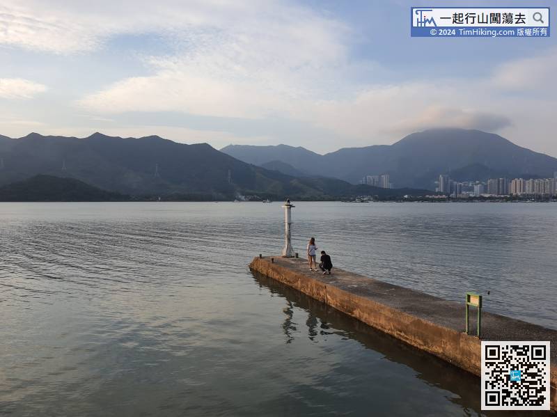
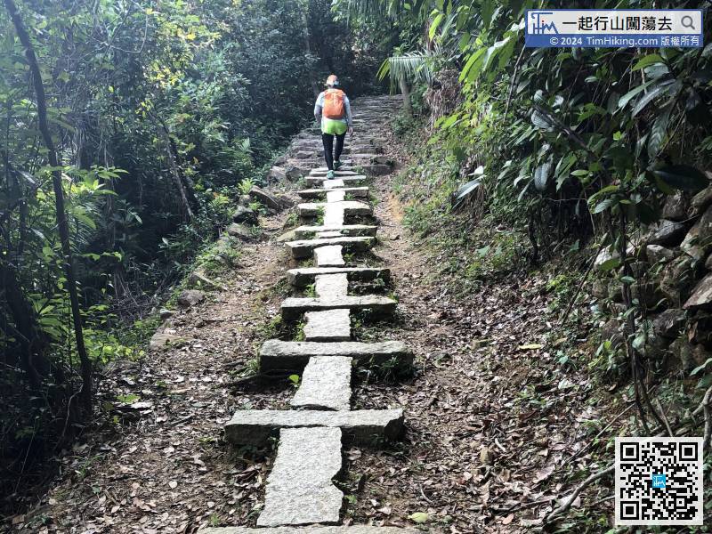
19︰In front are some big stone steps, 30︰and keep moving to the left along the shore.
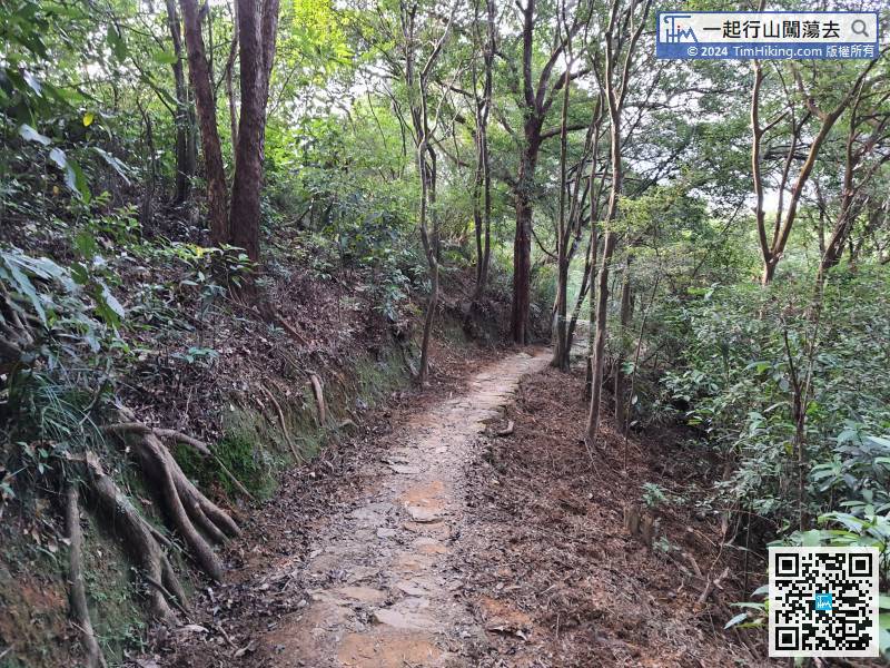 34︰After passing the Kai Choi School,
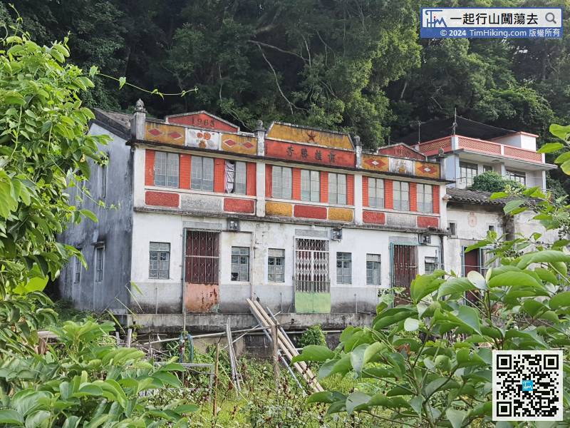 42︰cross the last small hill,
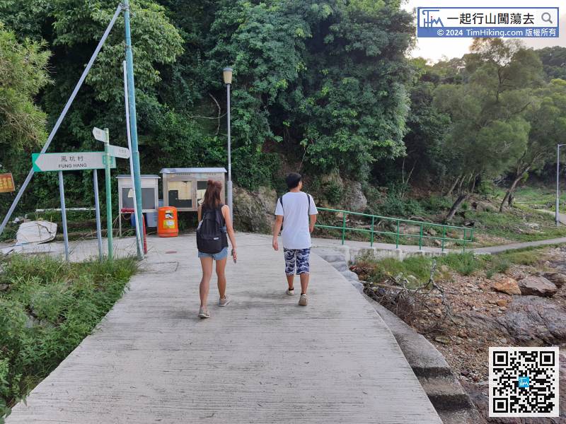


