


 Recommend YouTube


| View : |  | ||
| Difficulty : |  | ||
| Path : | |||
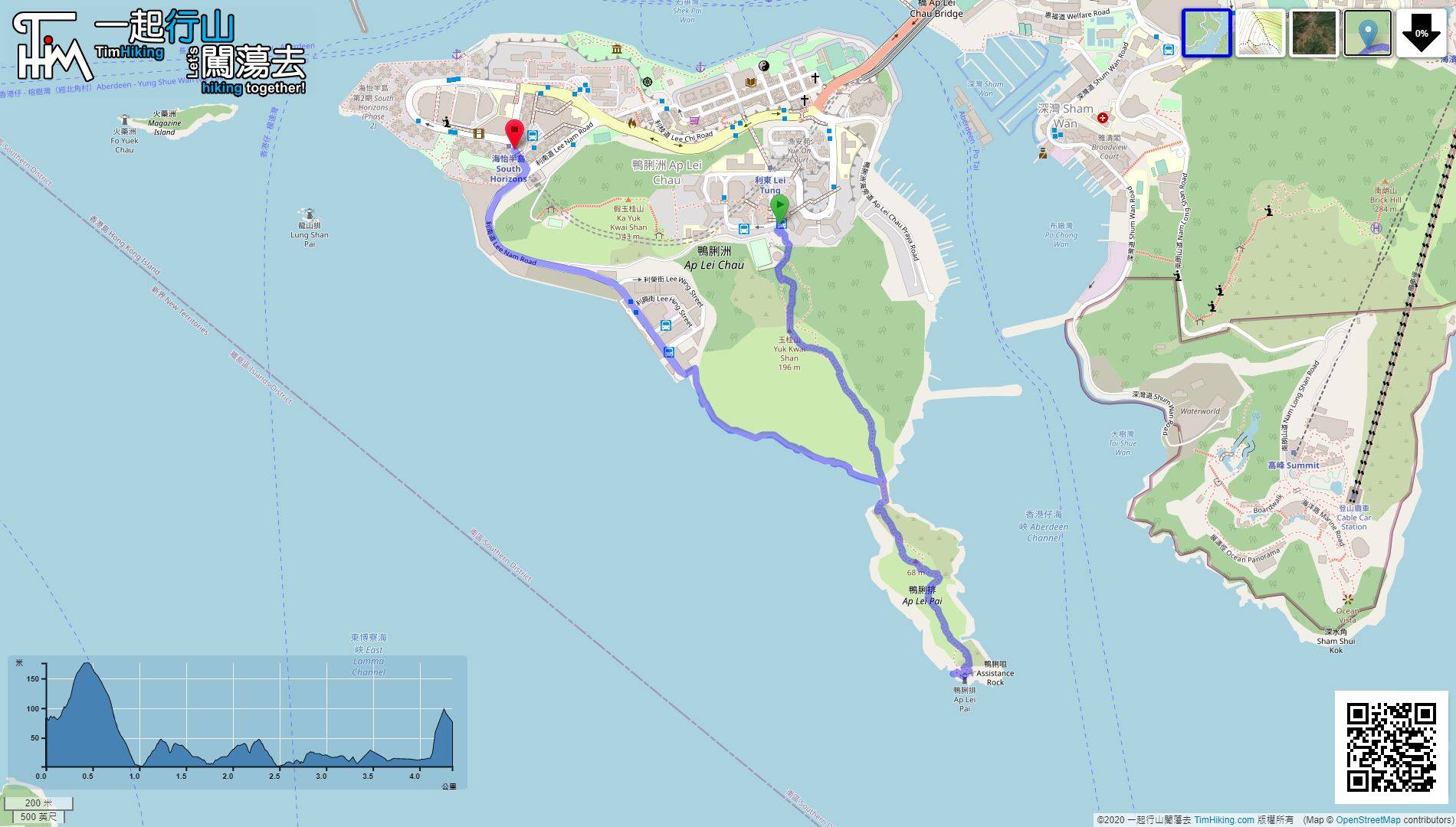
| Length : | 5.5km | ||
| Time : | 2hours | ||
 | |
| Ascent : 444m | Descent : 691m |
| Max : 478m | Min : 154m |
| (The accuracy of elevation is +/-30m) | |


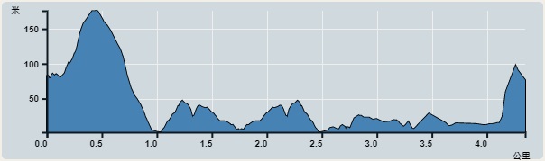
First, take any transportation to Peak Galleria such as bus, minibus or cable car.
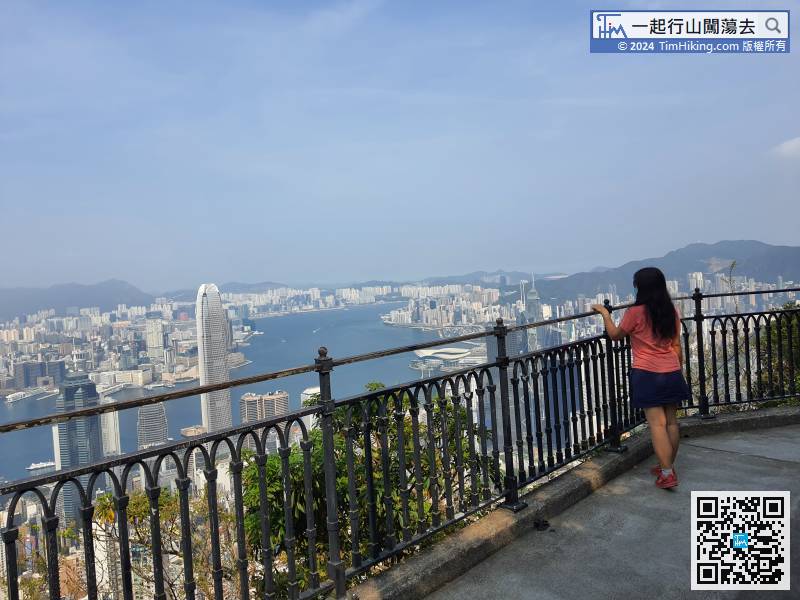
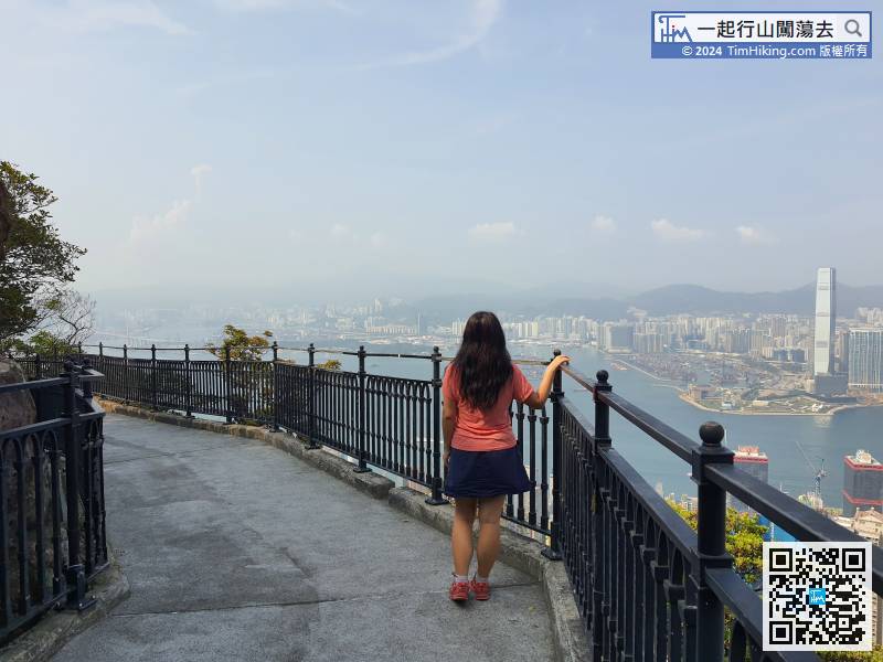
 27︰overlooking Victoria Harbour, Tsing Yi, and even Castle Peak.
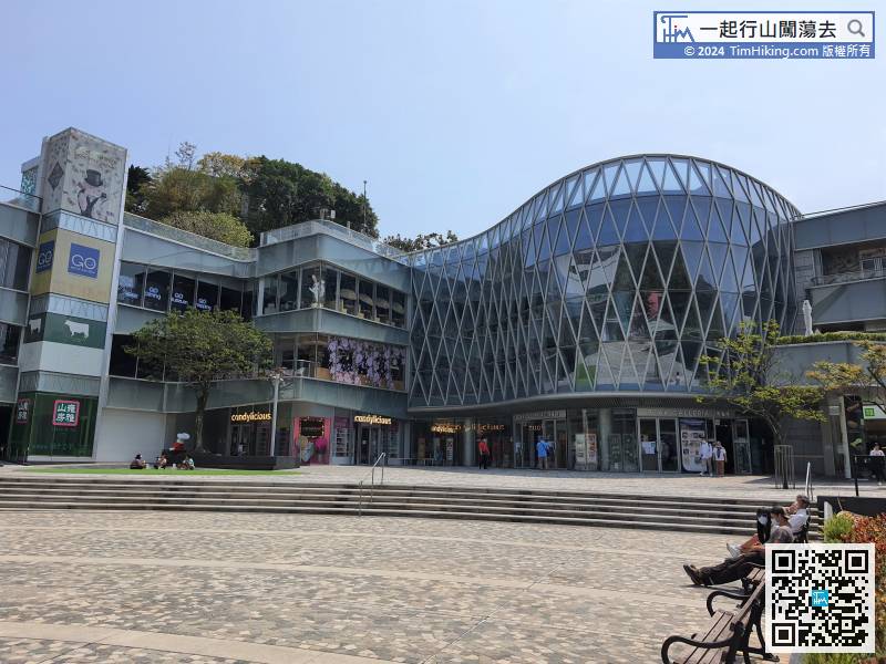
The third information plate is very large and tells about Rain and Mist.
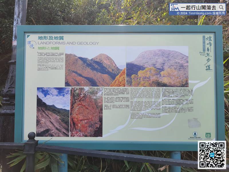
The following information plate is about Landforms and Geology.
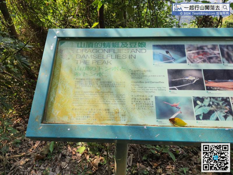
The next information plates are about Dragonflies and Damselflies in the Peak,
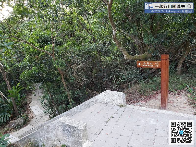
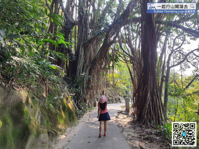
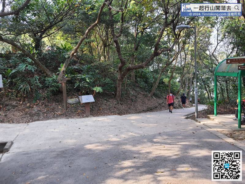
When coming here, take the branch line of High West first, go to the back of the pavilion, and follow the road sign to High West up the mountain. The one-way journey is 650 meters, which takes about 30 minutes.
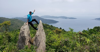
58︰Of course, there is a Trigonometrical Station.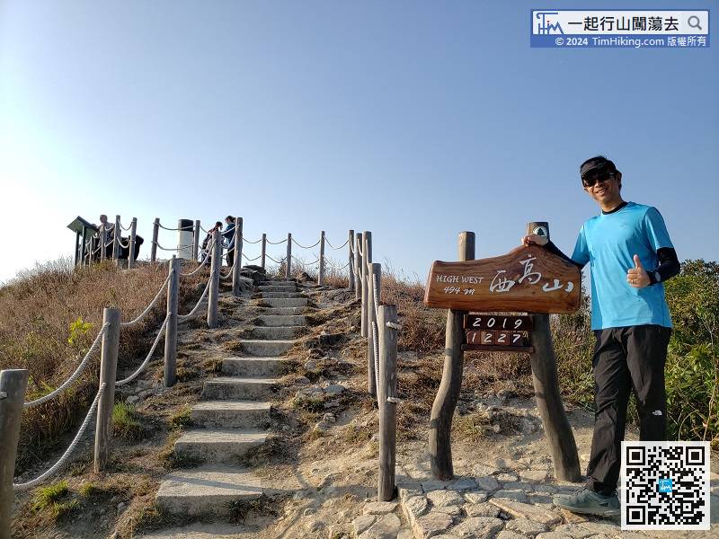
The top of the mountain is the twelfth official scenic spot 'High West Viewing Point'. There is a large nameplate with the height and date.
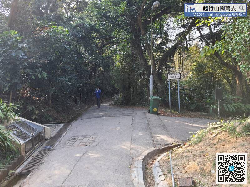

Peak Trail also has a branch line to Pok Fu Lam Reservoir, just go straight at the fork next to the High West Picnic Area, do not turn down Hatton Road.
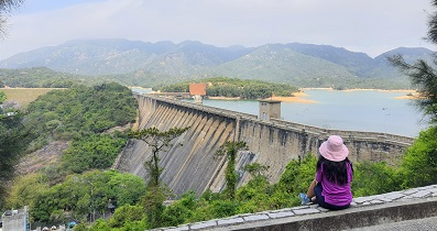
112︰and then will come to the ninth official scenic spot 'Pok Fu Lam Reservoir'.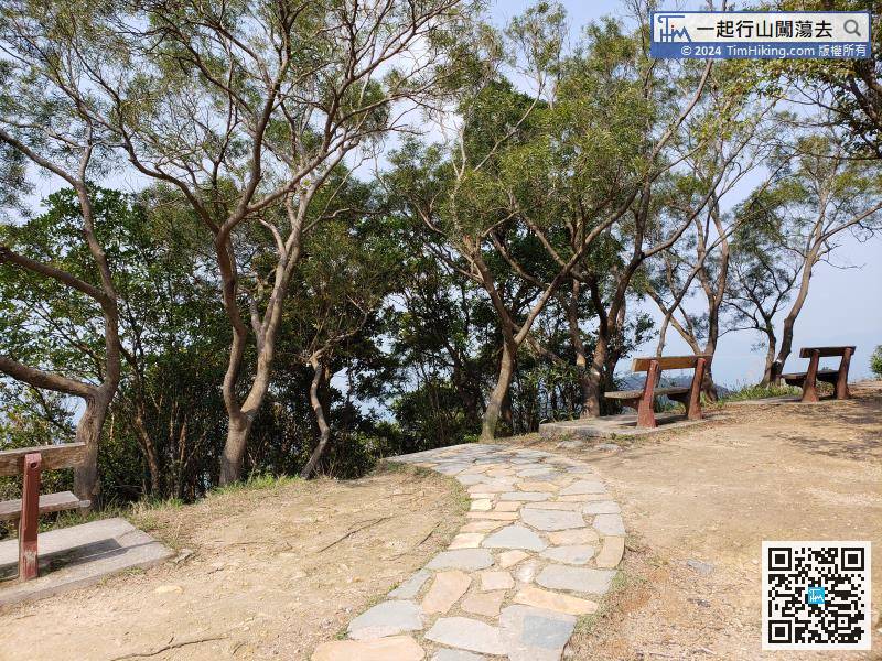
After watching the scenery, take the next downstairs


