


 Recommend YouTube


| View : |  | ||
| Difficulty : |  | ||
| Path : | |||
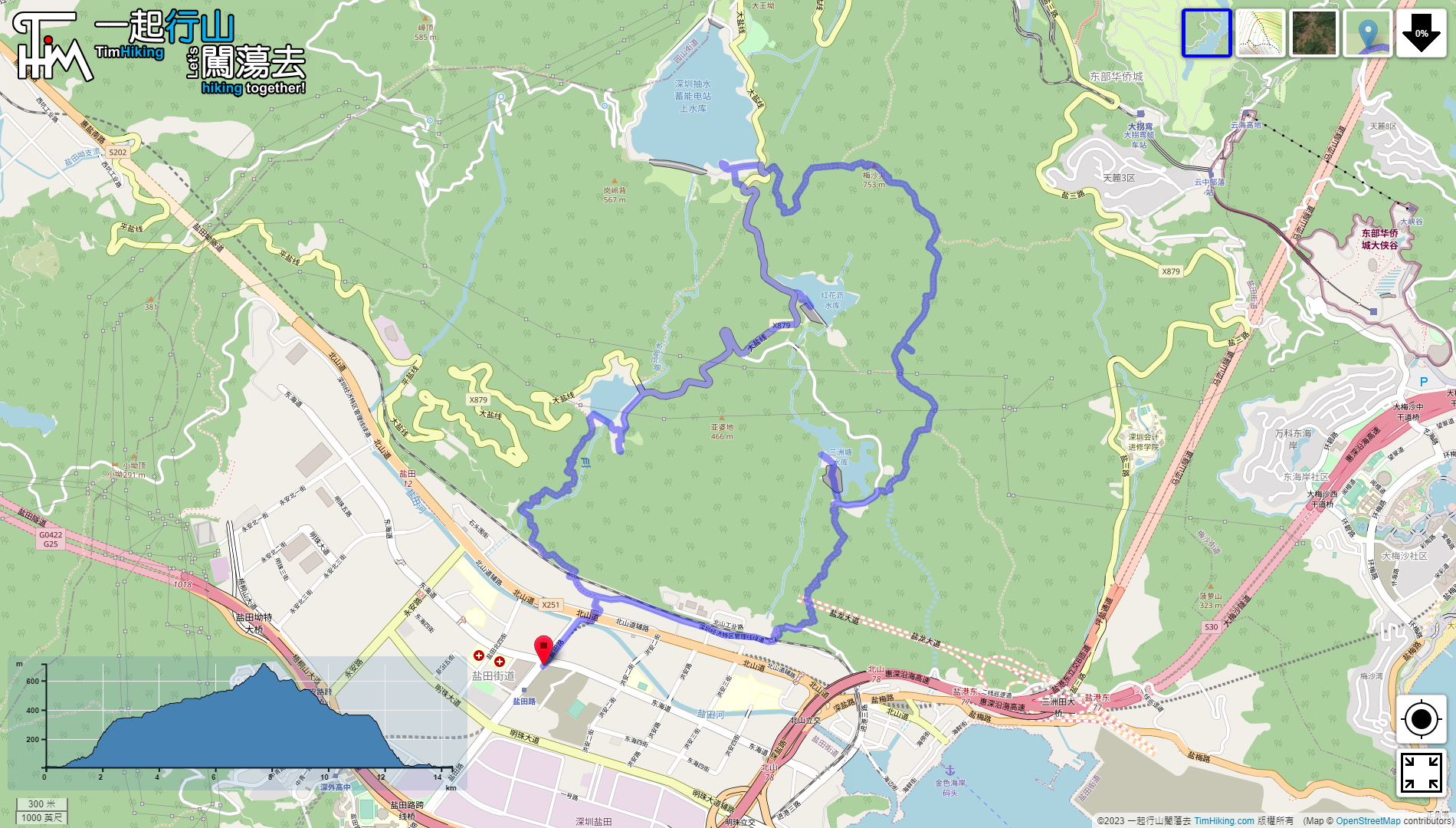
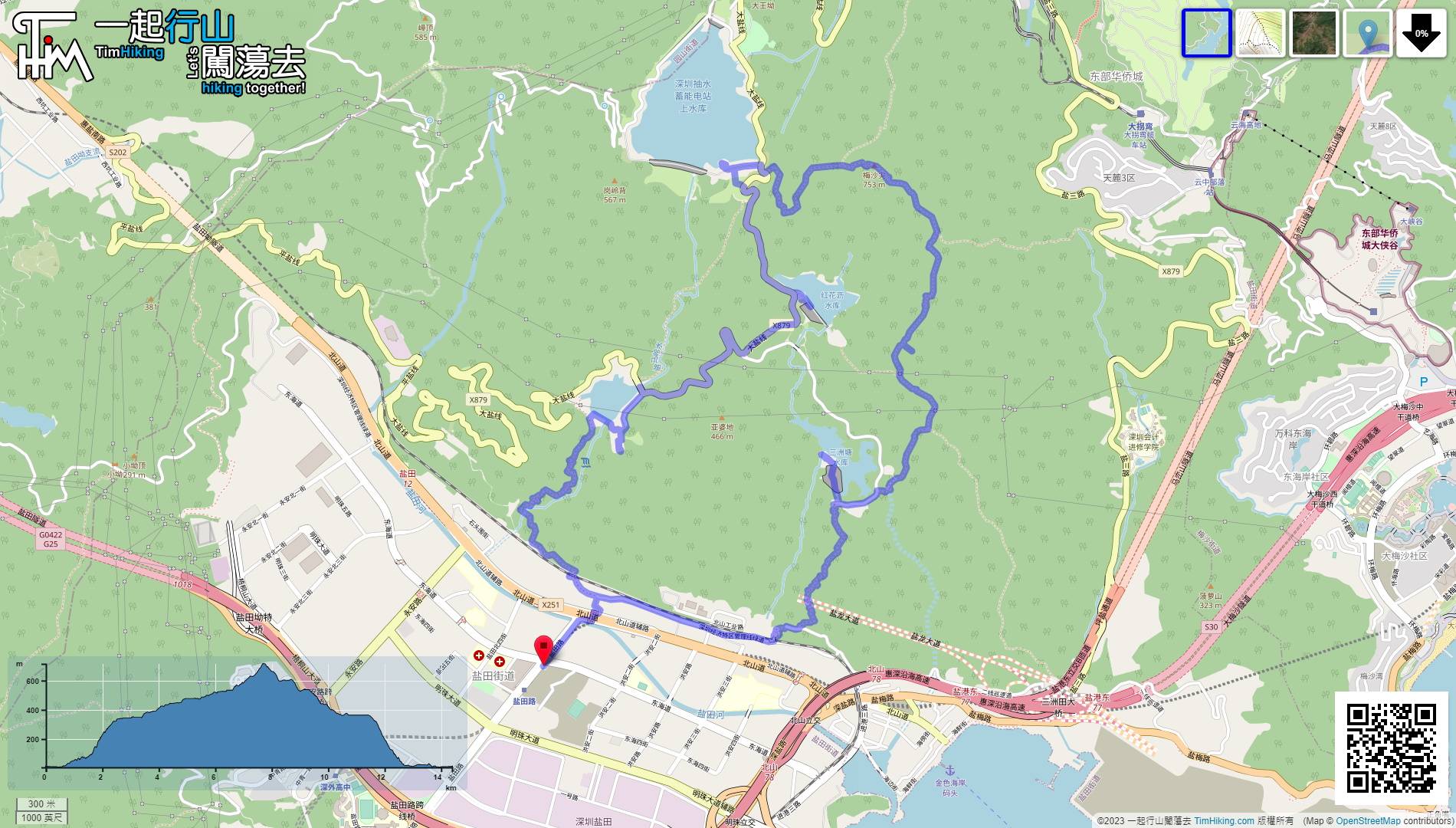
| Length : | 14.4km | ||
| Time : | 7½hours | ||
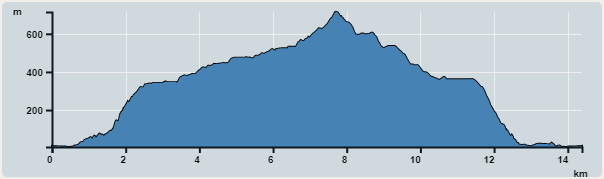 | |
| Ascent : 1,114m | Descent : 1,112m |
| Max : 714m | Min : 6m |
| (The accuracy of elevation is +/-30m) | |


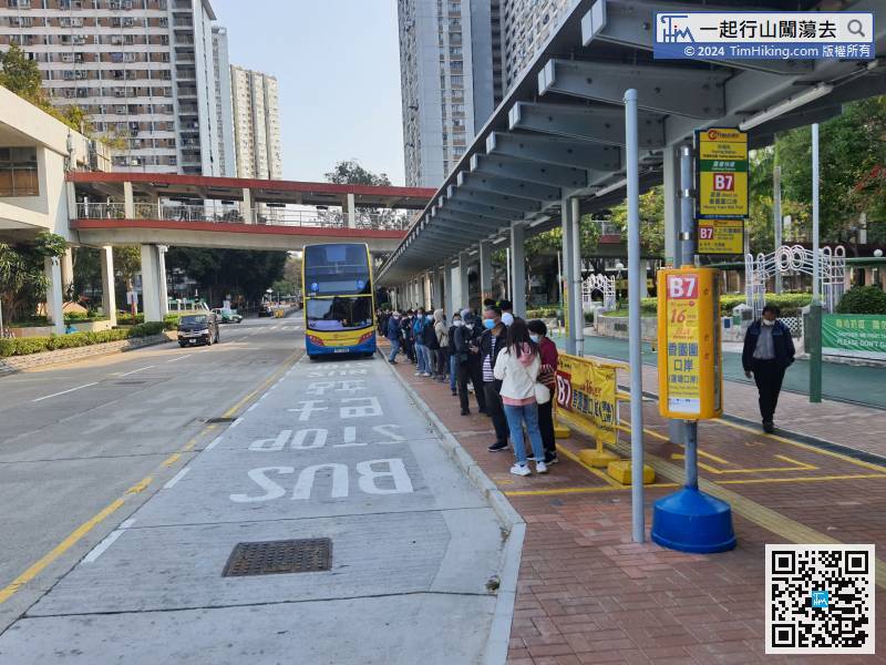
The starting point is at the Yantian Road Station of Shenzhen. The first thing is to pass the customs.
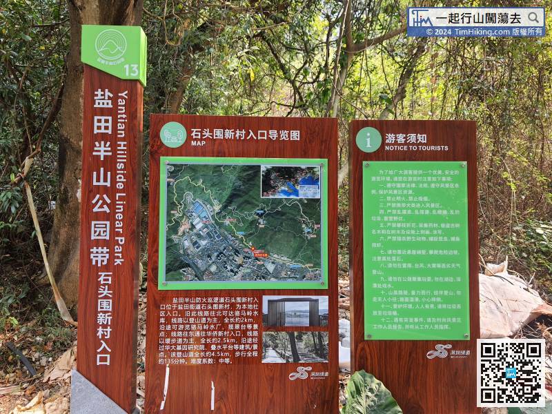
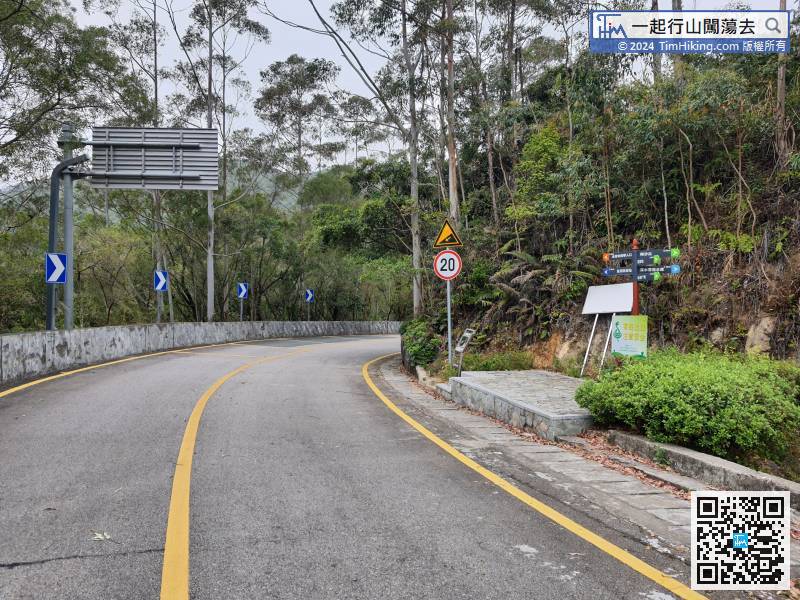
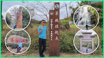
There is a brief map information plate at the trailhead. It is only about 700 meters from the subway.
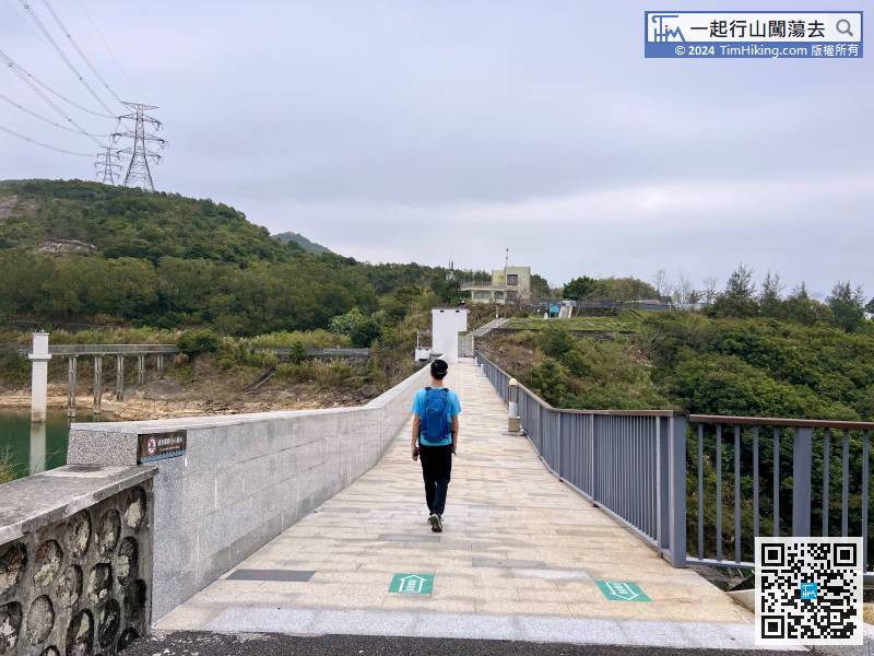
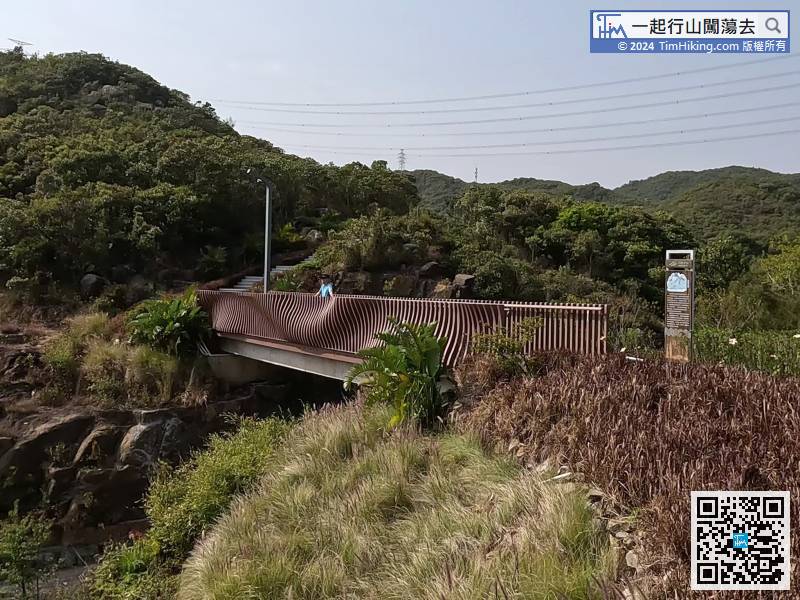
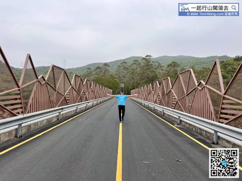
The old name of CuiLing Reservoir was Luomaling Reservoir. It is estimated that the name was changed because of the unlucky homonym of Come a Cropper.
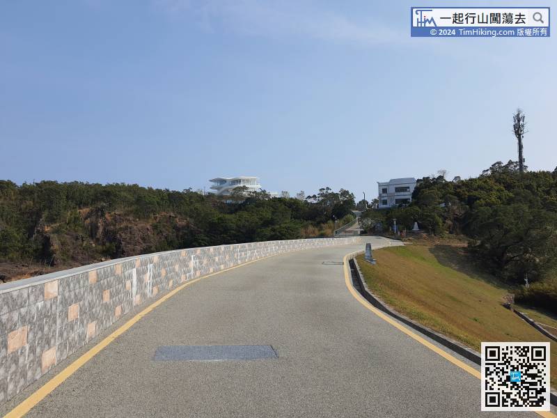
At the other end of the CuiLing Bridge, there is another greenway mountain trail that can go directly to the Power Plant of Shenzhen Reservoir. The distance is 1.3 kilometres.
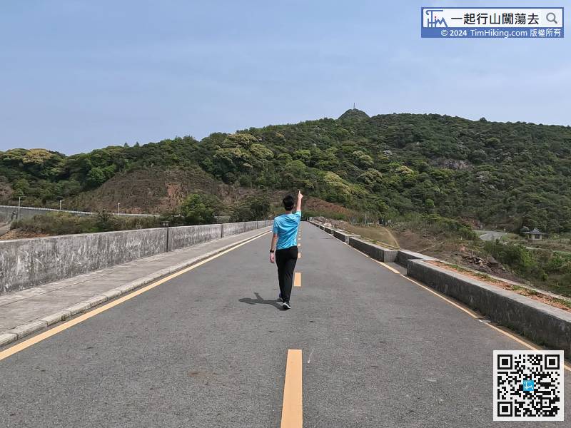
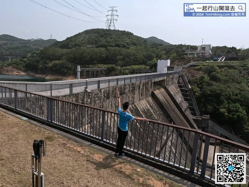
Back to the dam,

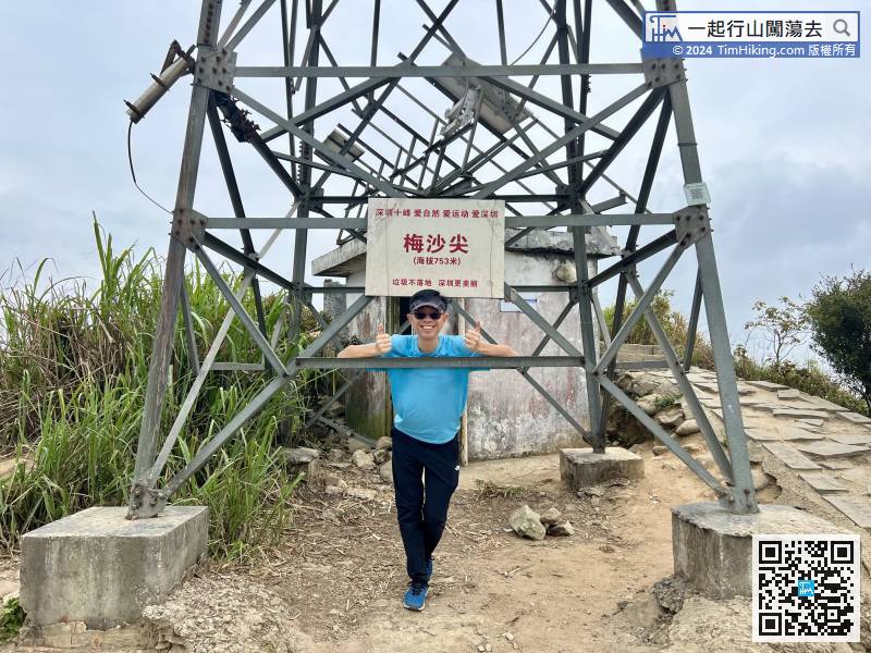
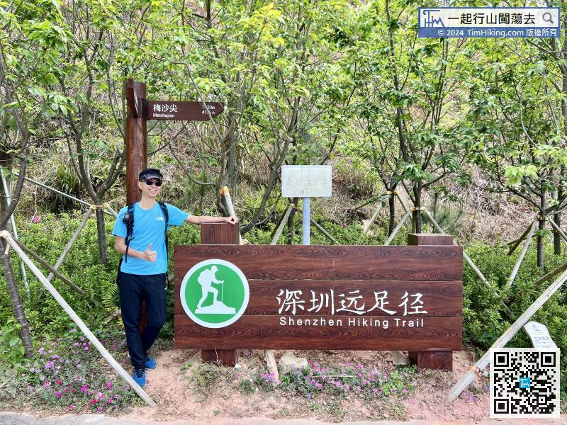
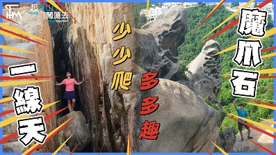
MeiShanJian is 753 meters high. There is a famous sign on the top of the mountain, just above the transmission tower.
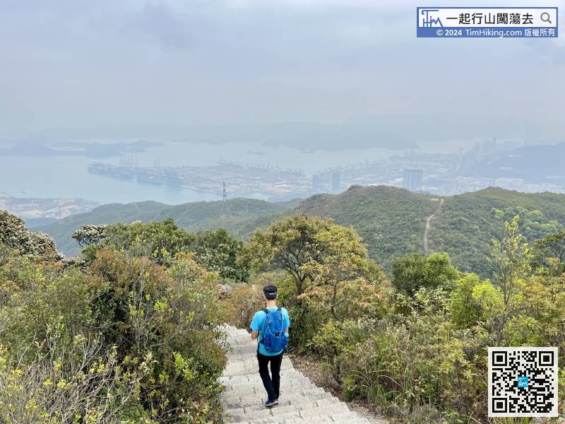
Okay! Continue down the mountain,
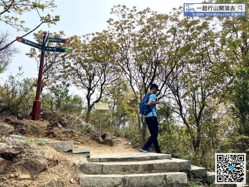
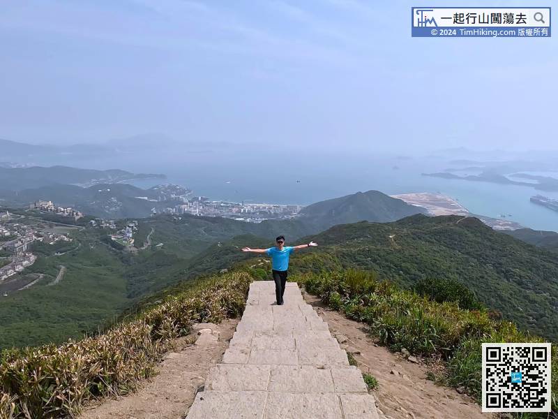
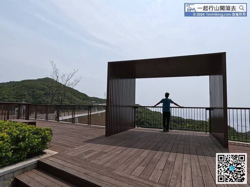
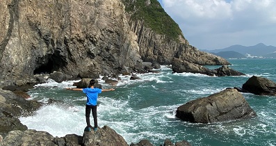
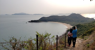
At this bifurcation, turn right and continue to fall in the direction of the Sea of Clouds Platform.
After taking pictures, go back the same way.
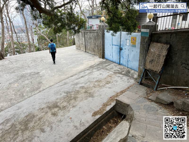
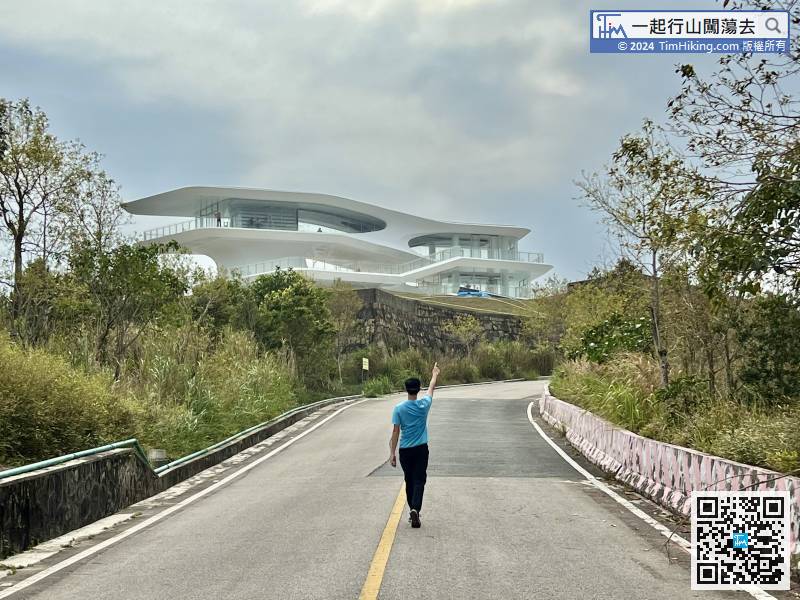
After descending the steps, go around to the back of the house,


