


 Recommend YouTube


| View : |  | ||
| Difficulty : |  | ||
| Path : | |||
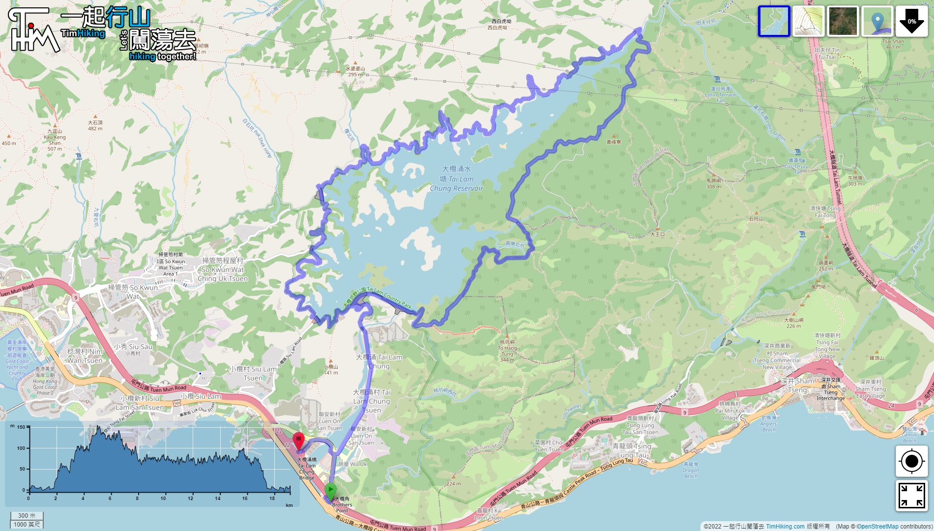
| Length : | 19.2km | ||
| Time : | 5hours | ||
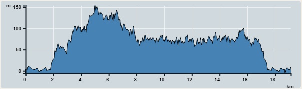 | |
| Ascent : 964m | Descent : 978m |
| Max : 153m | Min : 0m |
| (The accuracy of elevation is +/-30m) | |


 21︰After passing the gate, will arrive at the starting point to round the reservoir.
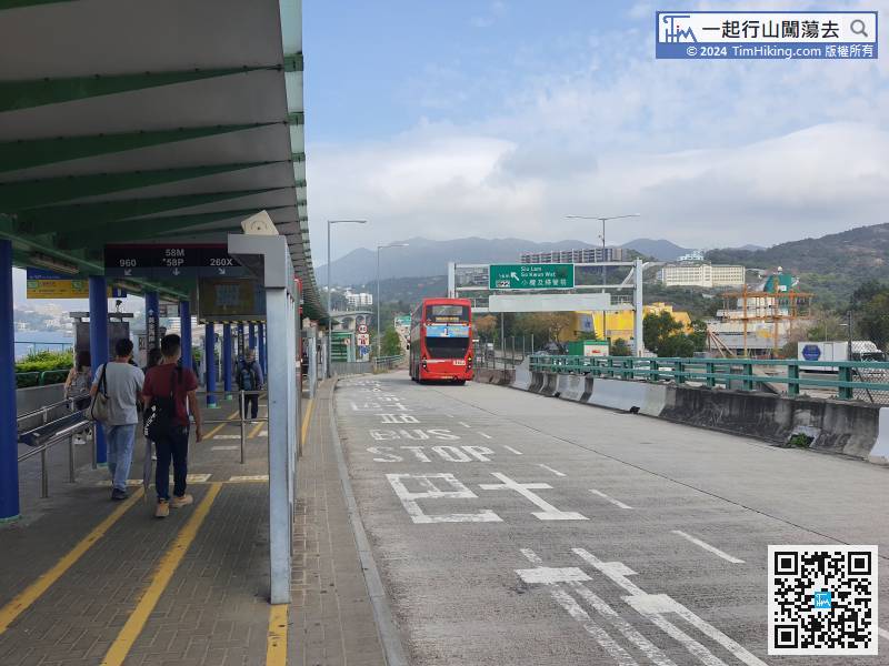
First, take any bus passing through the Tuen Mun Road Interchange.
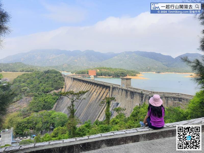
25︰walk slowly across Main Dam,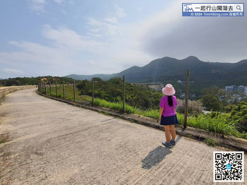
Keep right at the fork, and round the reservoir in the anti-clockwise direction. In the distance is Main Dam,
52︰Soon will come to another fork,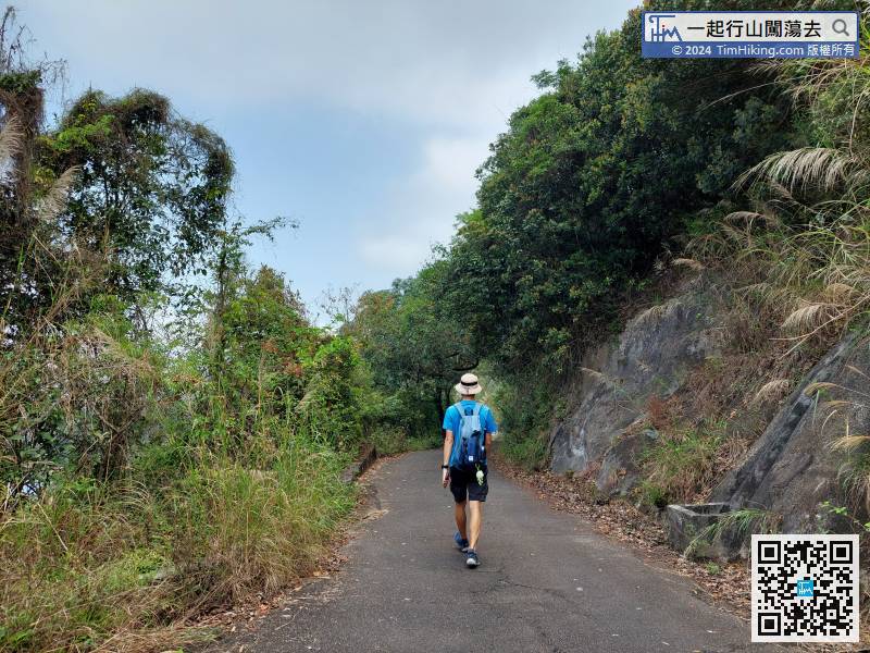 61︰can find a barren trail
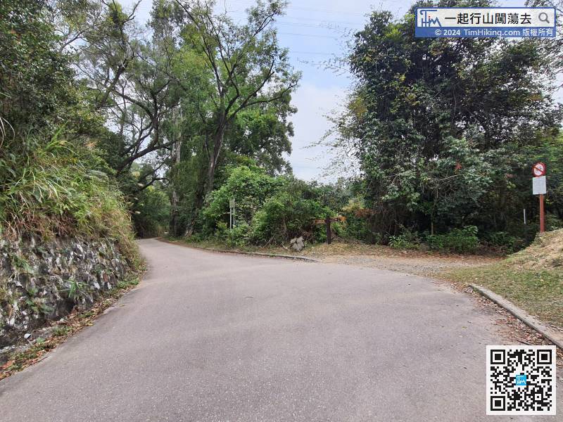
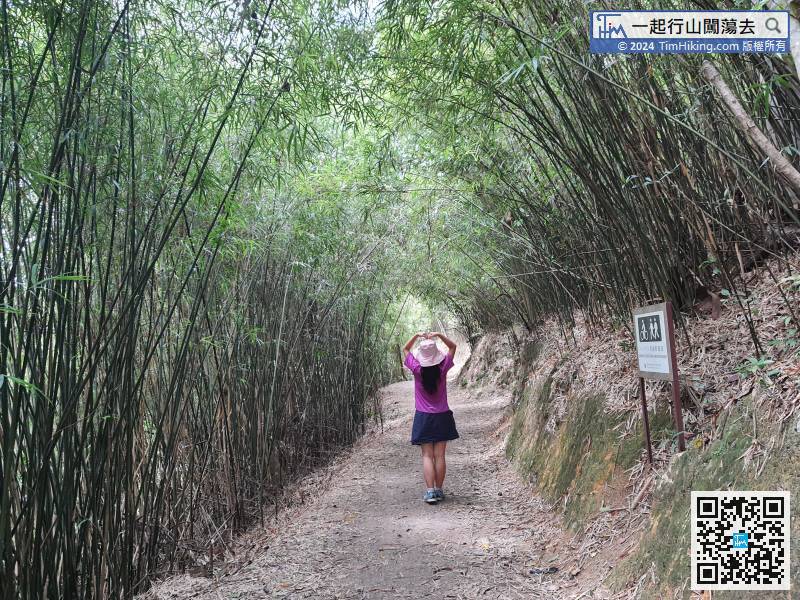
The route in the South is basically on the wide main trail,
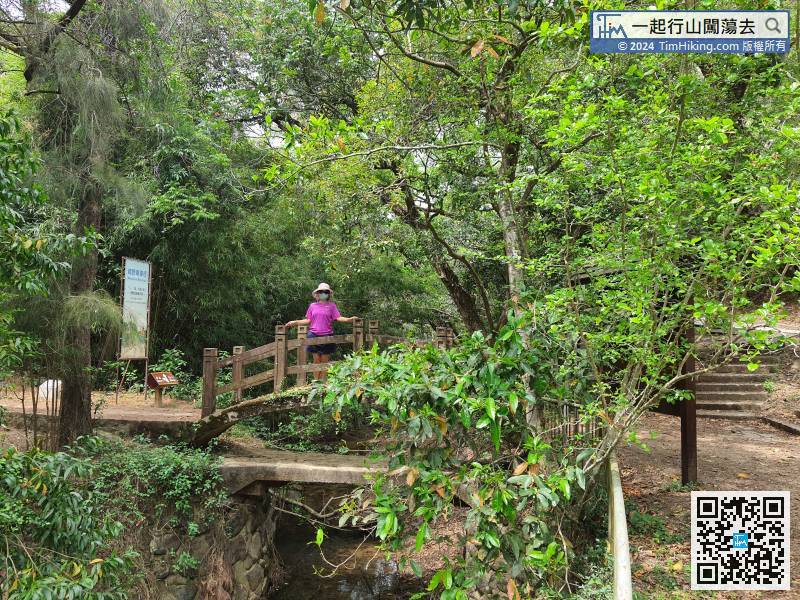
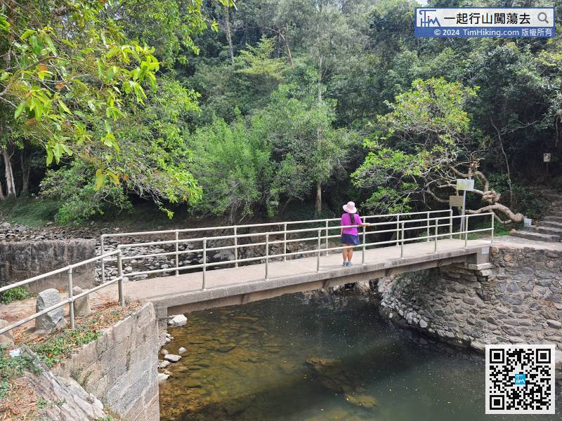
After a short break at Kat Hing Bridge, cross the arch bridge on the left,
90︰Some locations have very good scenery, sometimes the reservoir view is relatively small,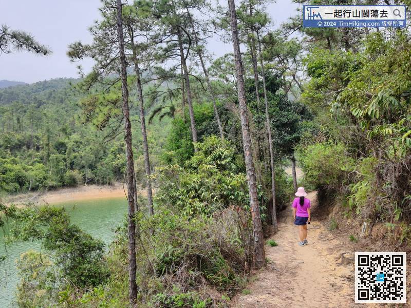
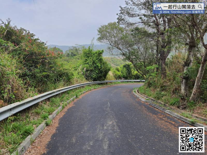
The north section trail of rounding reservoir is the MacLehose Trail in the past, so the construction is very complete.
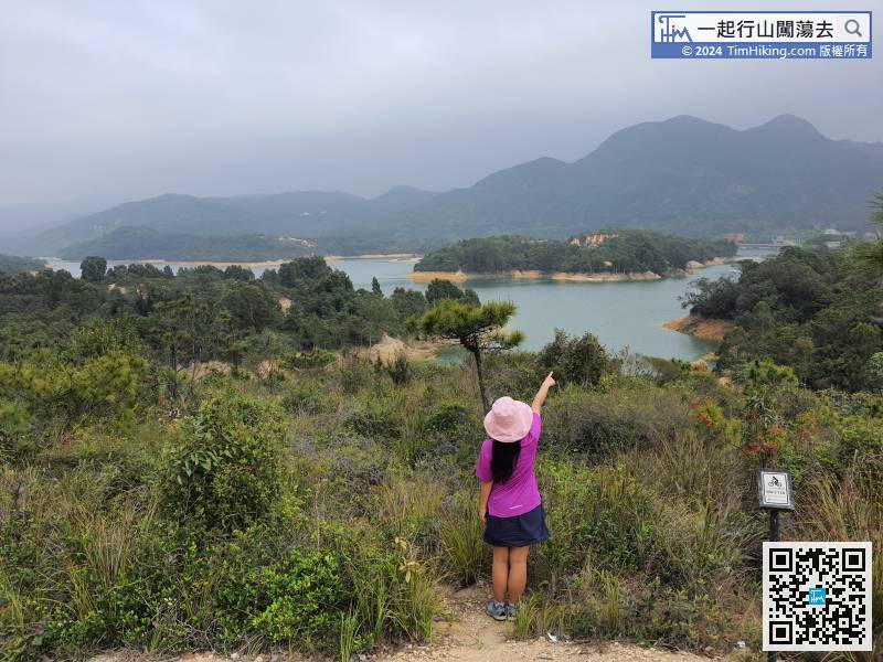
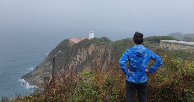
99︰The scenery near the end of the north route is very good, and it can be regarded as the most beautiful section of the rounding reservoir.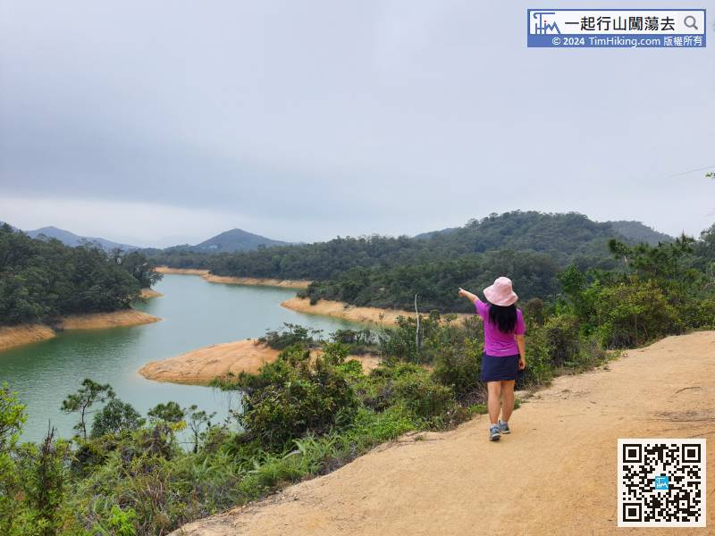
The scenery near the end of the north route is very good, and it can be regarded as the most beautiful section of the rounding reservoir.
116︰After a while, come to a special distance post BW313A, with a very vast scenery.
After a while, come to a special distance post BW313A, with a very vast scenery.


