


 Recommend YouTube


| View : |  | ||
| Difficulty : |  | ||
| Path : | |||
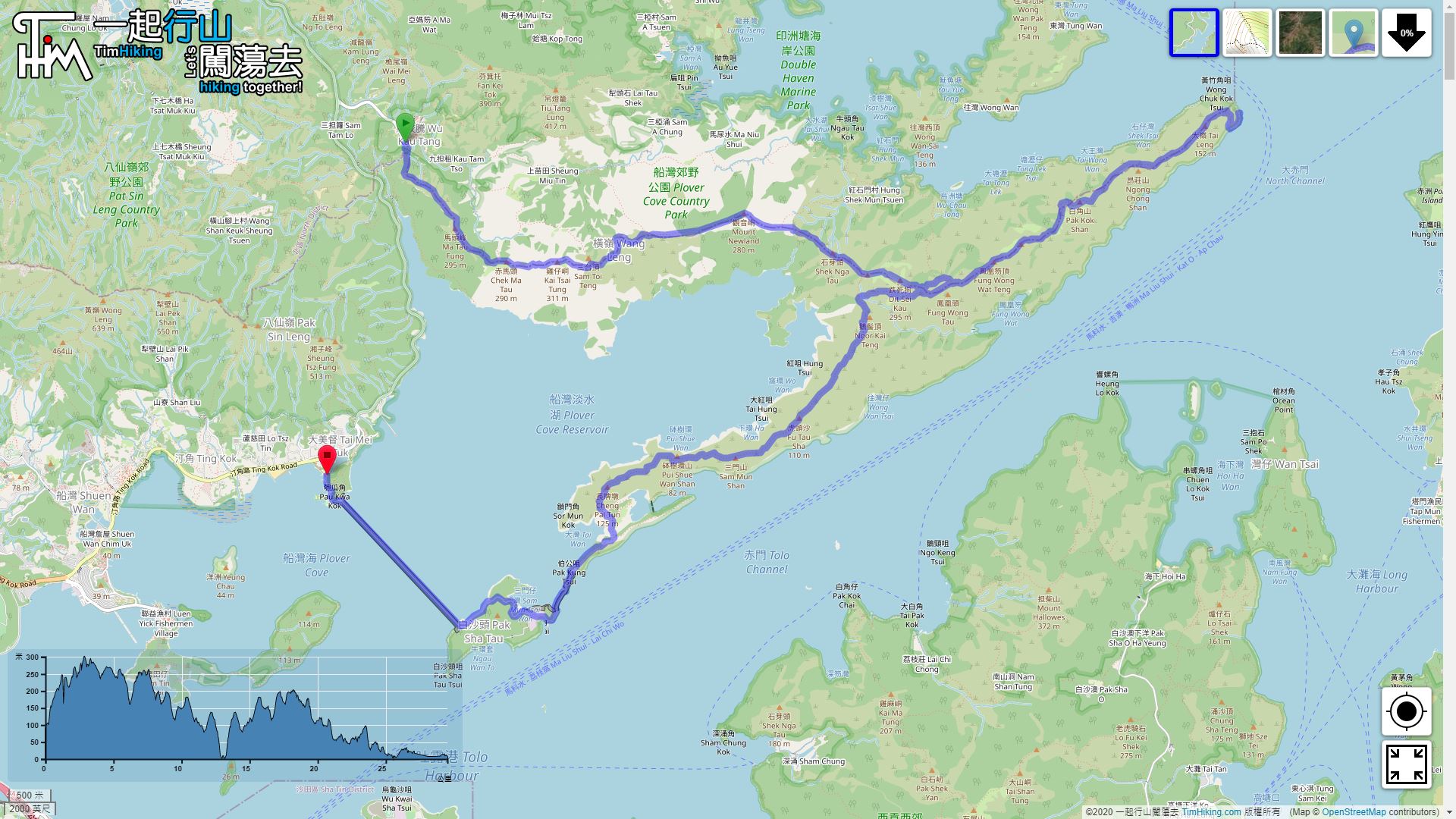
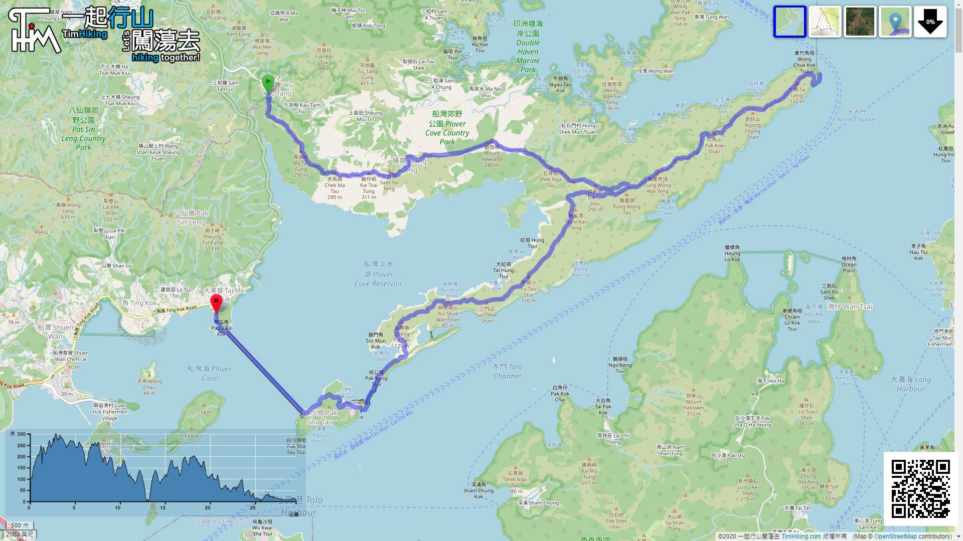
| Length : | 29.6km | ||
| Time : | 12hours | ||
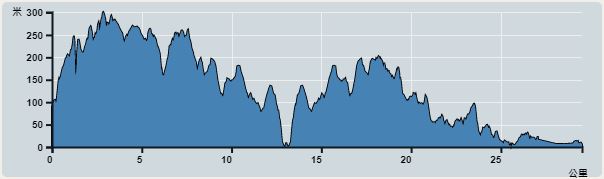 | |
| Ascent : 1,765m | Descent : 1,841m |
| Max : 301m | Min : 0m |
| (The accuracy of elevation is +/-30m) | |


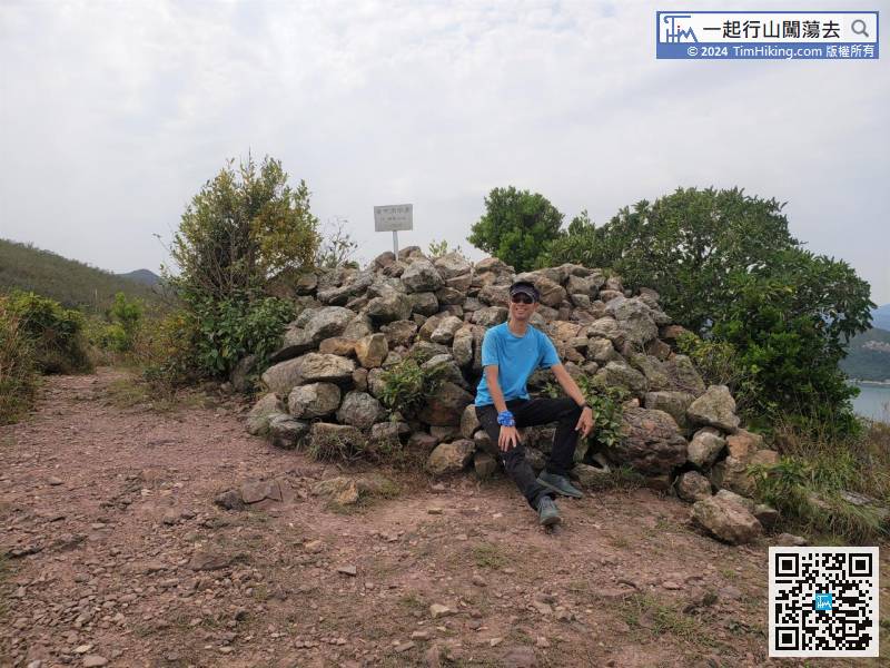
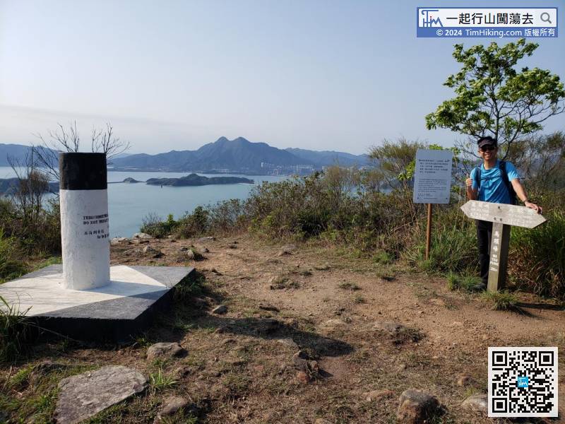
 16︰Ma Tau Fung is 295 meters high and there is a trigonometrical station on the top, also a wooden signpost
To save time, take a taxi to Wu Kau Tang. Start early to preserve more time is the best strategy.
22︰It takes less than 100 meters to reach the second peak Chek Ma Tau.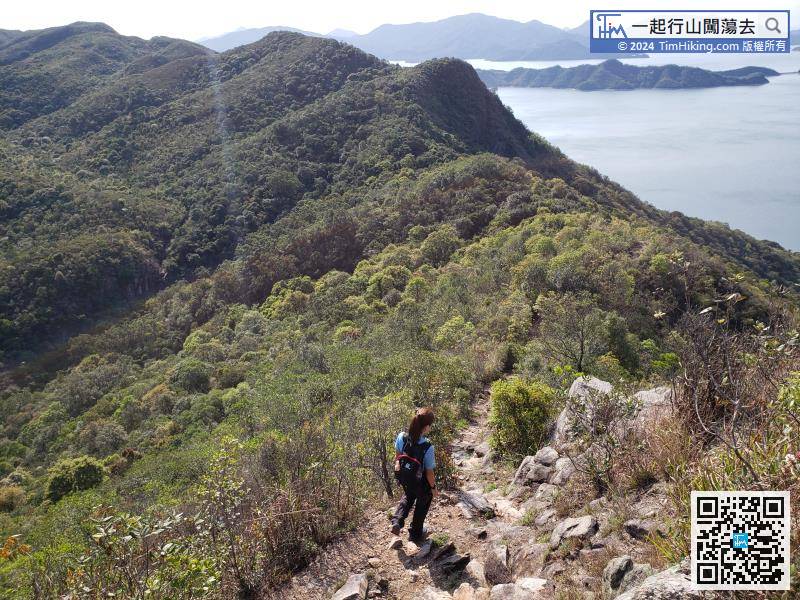
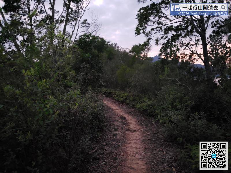
Along the gravel trail down the mountain,
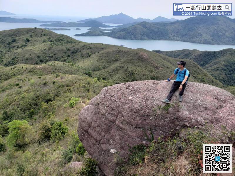
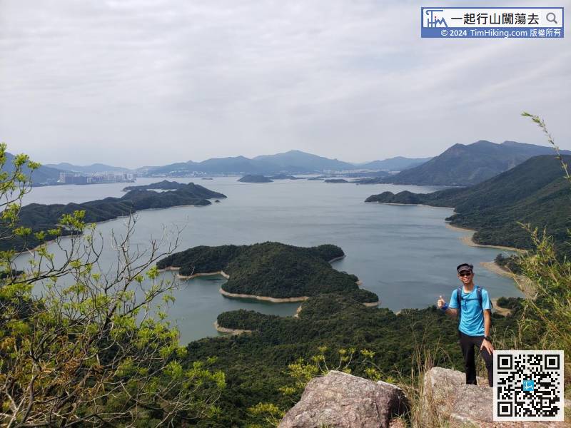
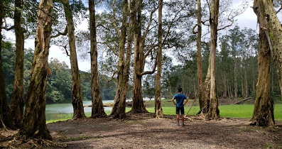
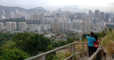
49︰There is a location nearby which can have an unobstructed bird's eye view of the entire Plover Cove Reservoir.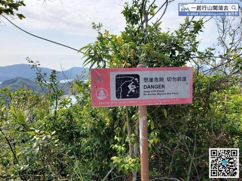 59︰and soon come to the highest point of Dit Sei Kau.
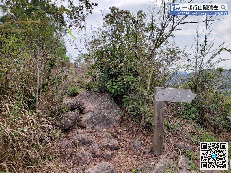
Section 2 starting from the corner of Luk Wu Tung, can see a very obvious barren trail,
69︰This time keep to the left and go straight because there is an ingenious location that needs to describe in detail.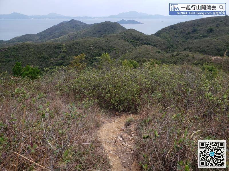
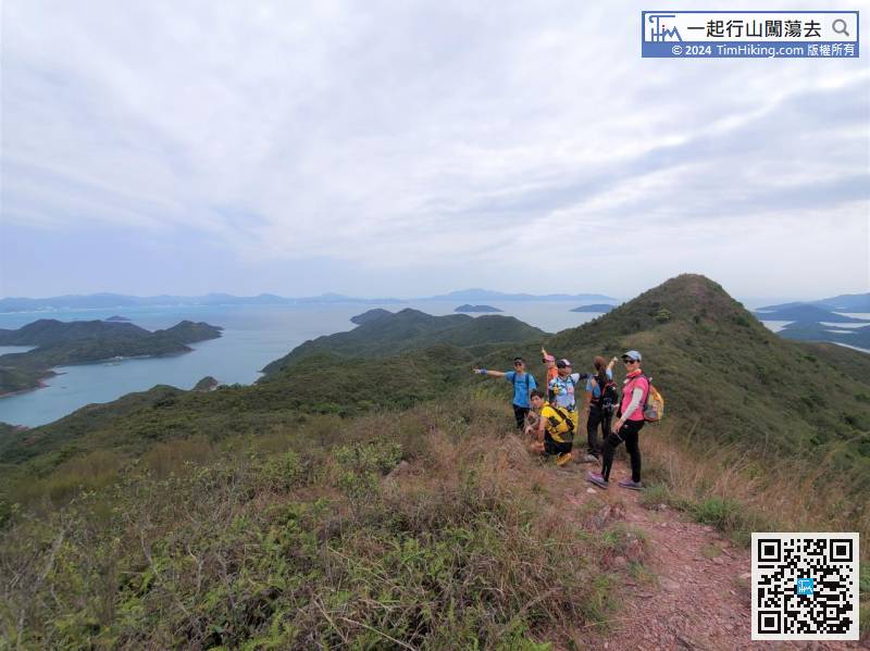
After landing at Dit Sei Kau, it is a relatively flat grass.
86︰Go to a completely empty place, which is Fung Wong Tau,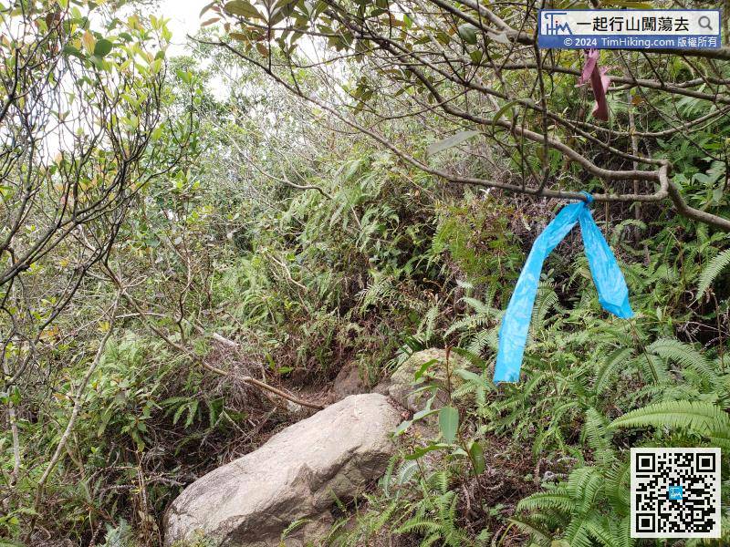 100︰Finally, when coming to the last mountain of Wong Chuk Kok Tsui,
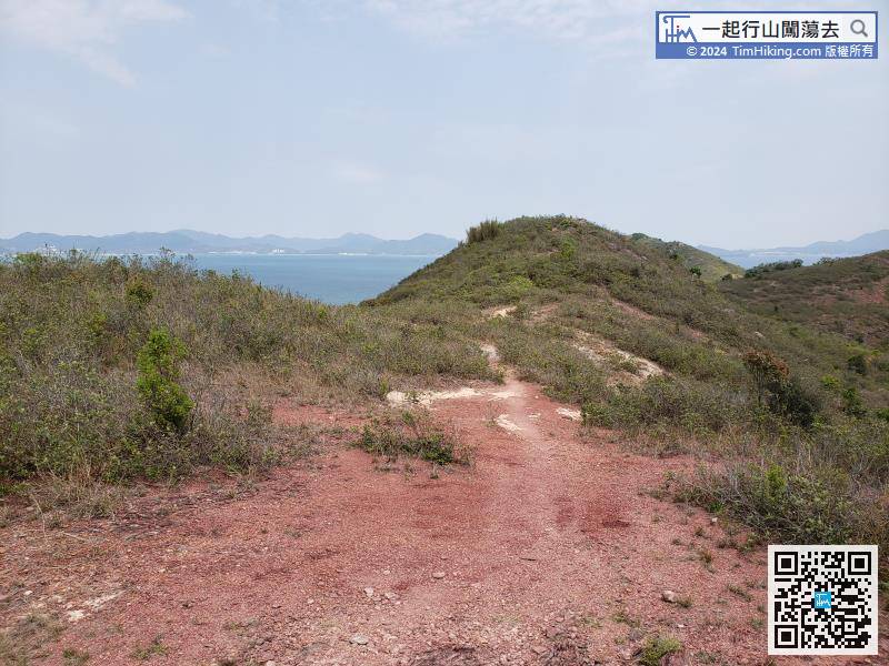
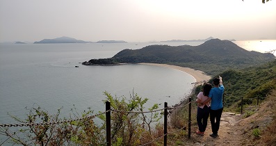
About 15 minutes later, come to a piece of sand.
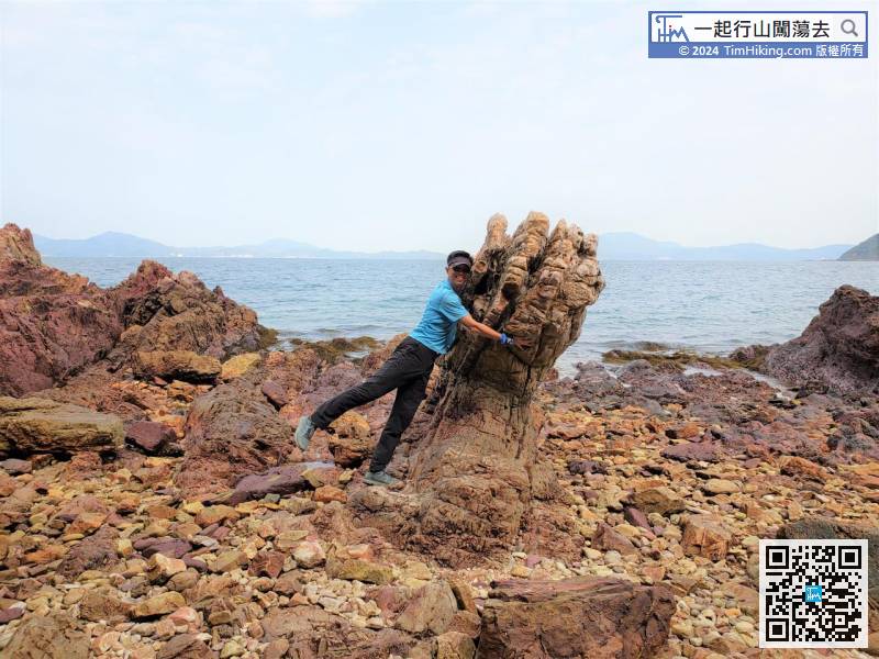
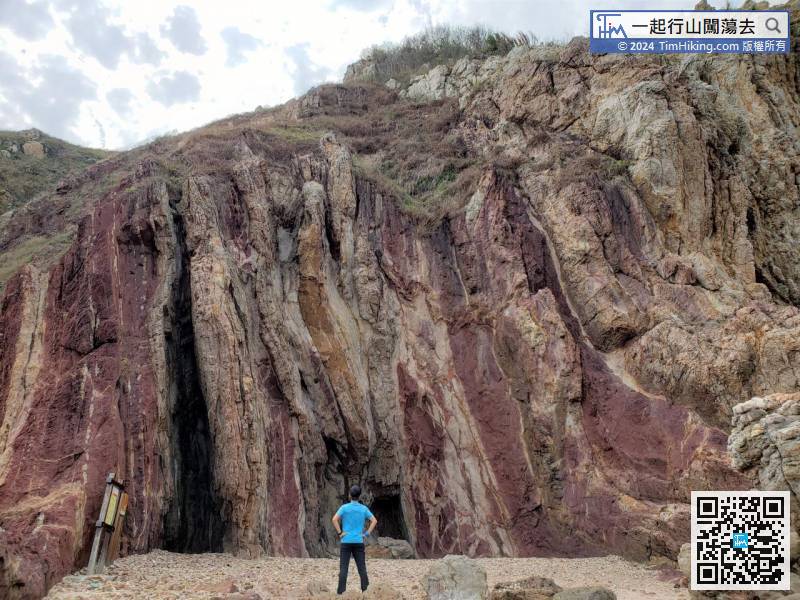
117︰The rocks are uneven, if the tide rises, the difficulty will be greatly increased.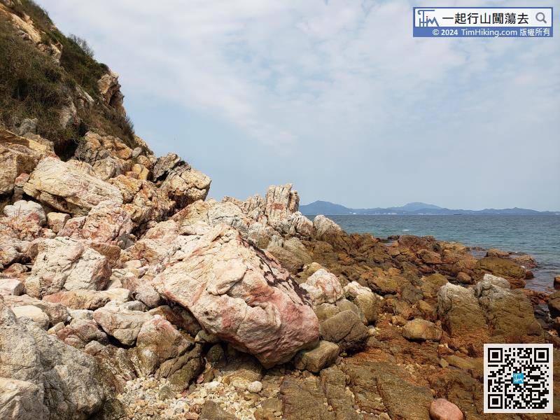 143︰around 10.5km away from Tai Mei Tuk, and it takes about 3.5 hours.
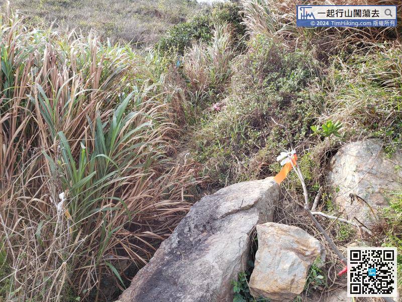
Firstly edge climbs back to the mountain trail,
Continue along the mountain trail


