


 Recommend YouTube


| View : |  | ||
| Difficulty : |  | ||
| Path : | |||
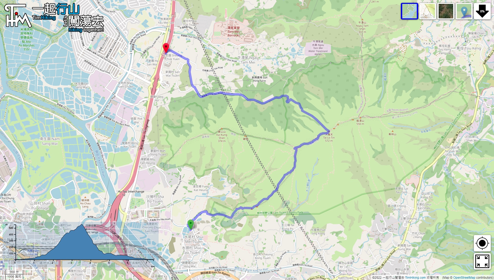
| Length : | 7.4km | ||
| Time : | 4hours | ||
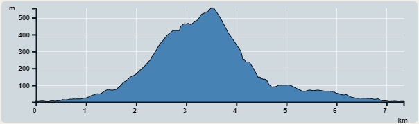 | |
| Ascent : 624m | Descent : 624m |
| Max : 556m | Min : 2m |
| (The accuracy of elevation is +/-30m) | |


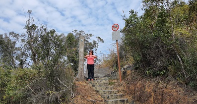
 9︰and behind is the entrance to the trail.
The location to go up the mountain is close to Shui Mei Tsuen, hikers can take the minibus 601/601B at the Kam Sheung Road Station,
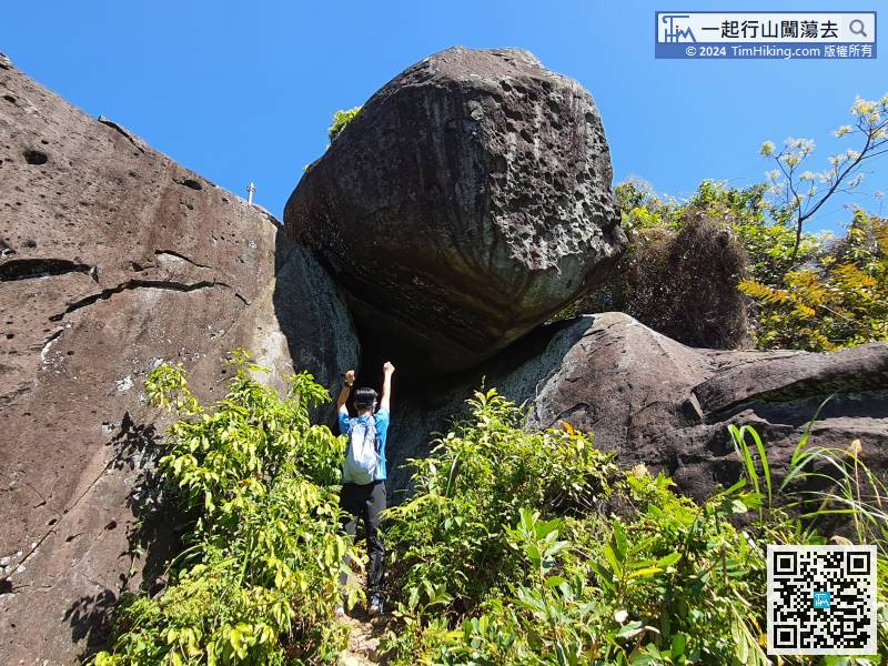
17︰Go to the right first,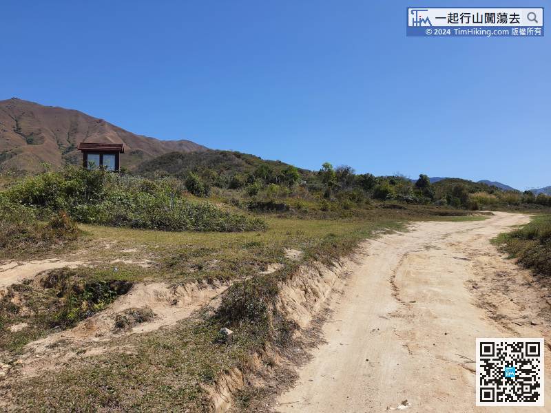 21︰Pass through the measuring station
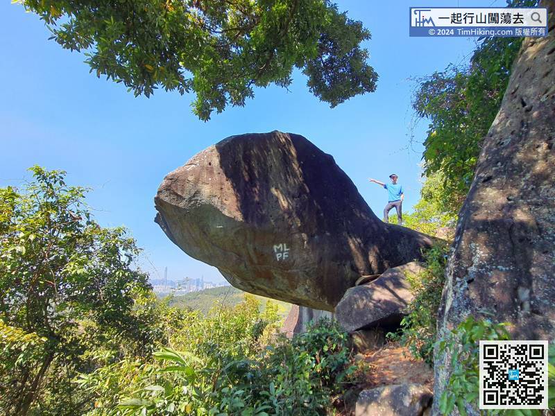
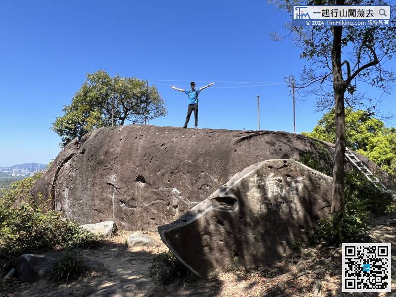
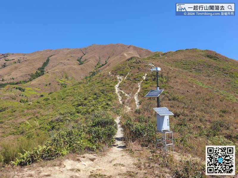 36︰After a short break at Kwai Kok Shek Teng,
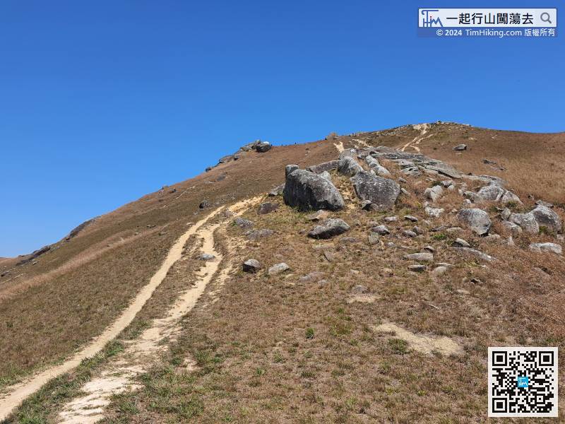
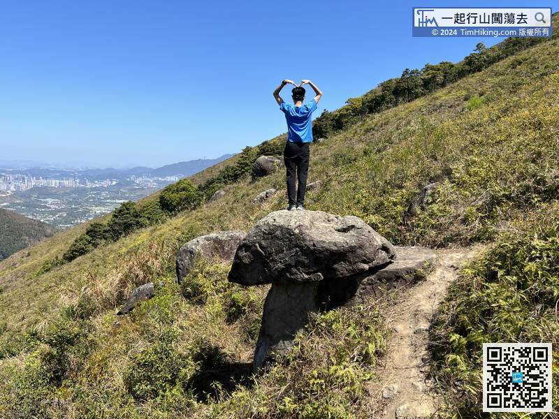
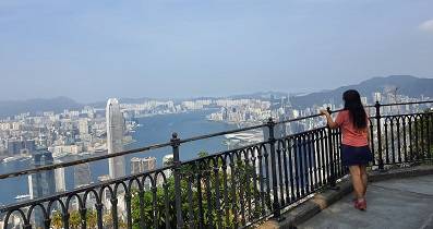
It takes about an hour to climb Kwai Kok Shek Teng from the foot of the mountain.
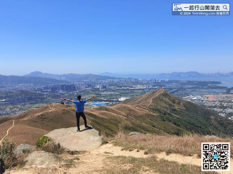
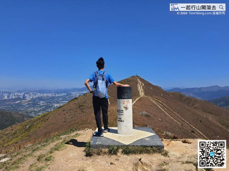
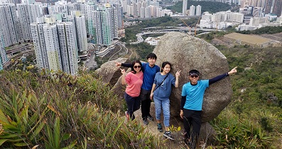
41︰The scenery along the way is very wide, and can see the Shenzhen area in the distance.
The scenery along the way is very wide, and can see the Shenzhen area in the distance.
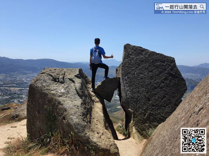
46︰the next step is to follow this narrow trail down the mountain.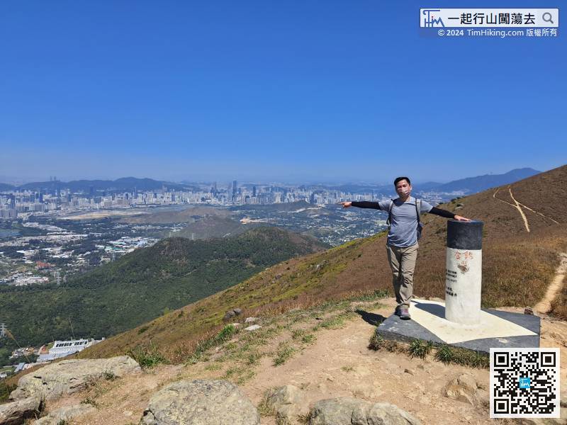 58︰come to an important fork.
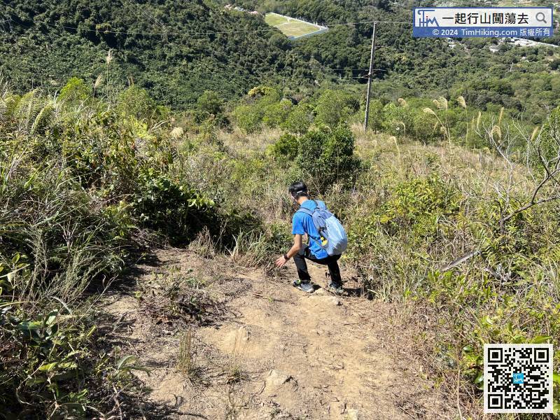
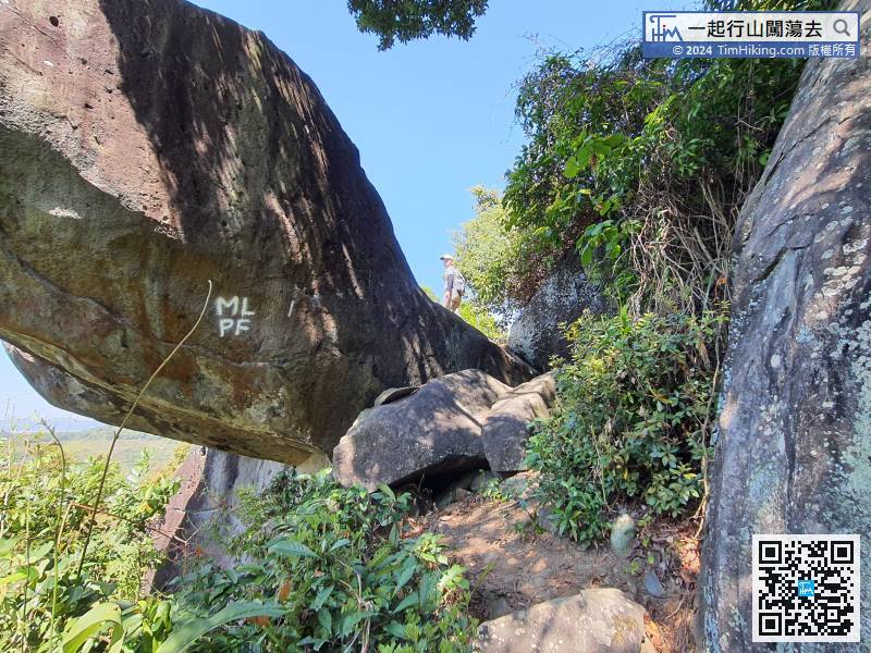
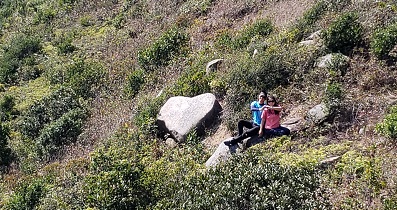
After leaving the jungle, take the most sloping mountain trail, there used to be a rope.


