


 Recommend YouTube

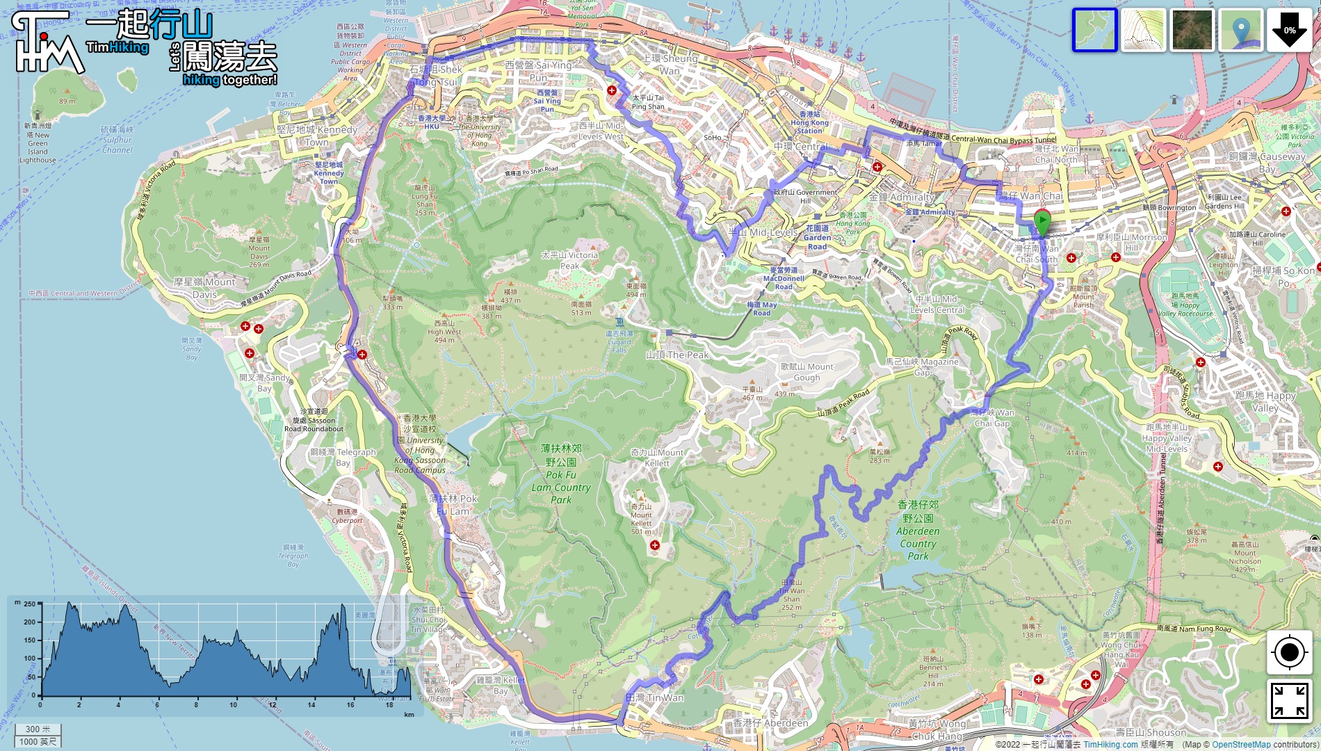

| View : |  | ||
| Difficulty : |  | ||
| Path : | |||
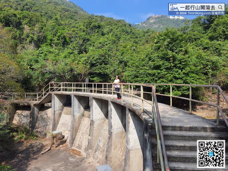
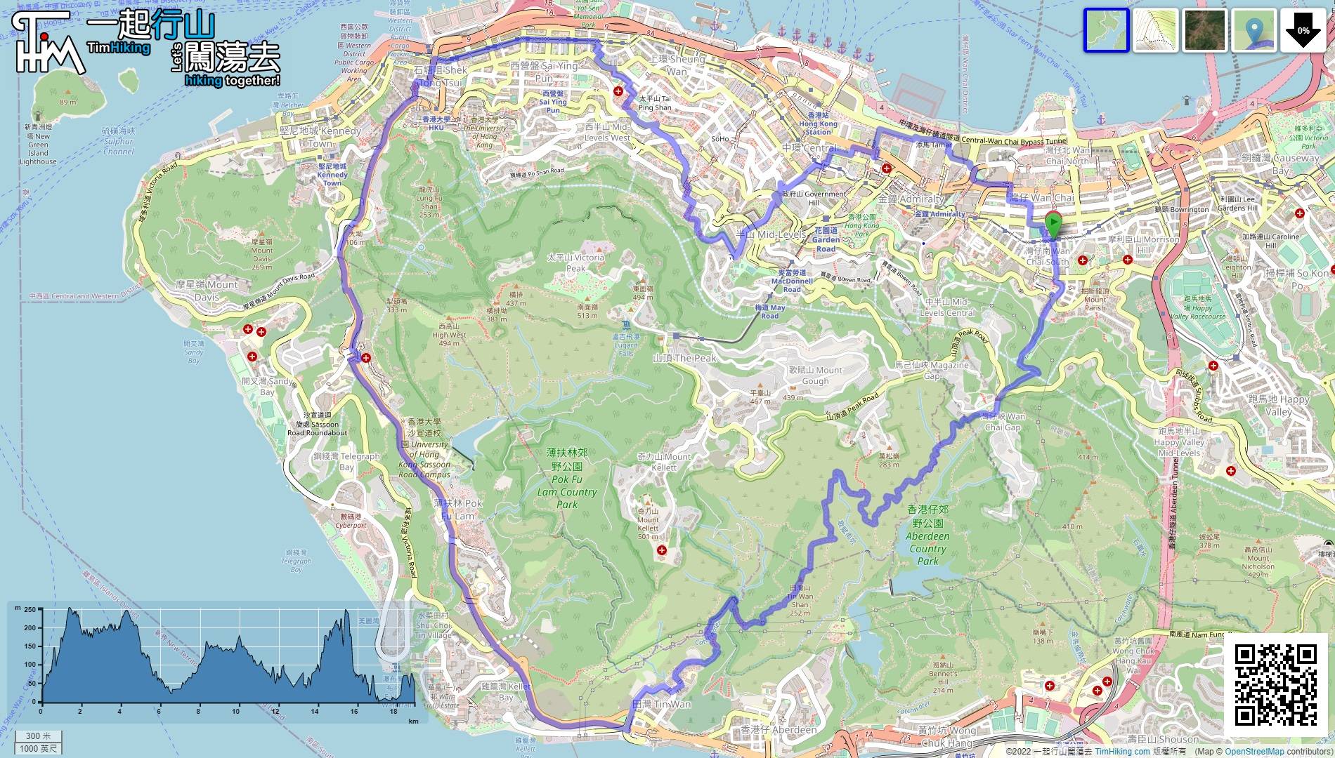
| Length : | 18.9km | ||
| Time : | 6hours | ||
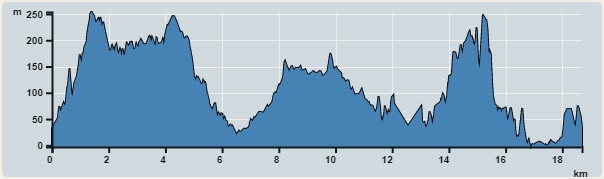 | |
| Ascent : 1,660m | Descent : 1,737m |
| Max : 254m | Min : 0m |
| (The accuracy of elevation is +/-30m) | |


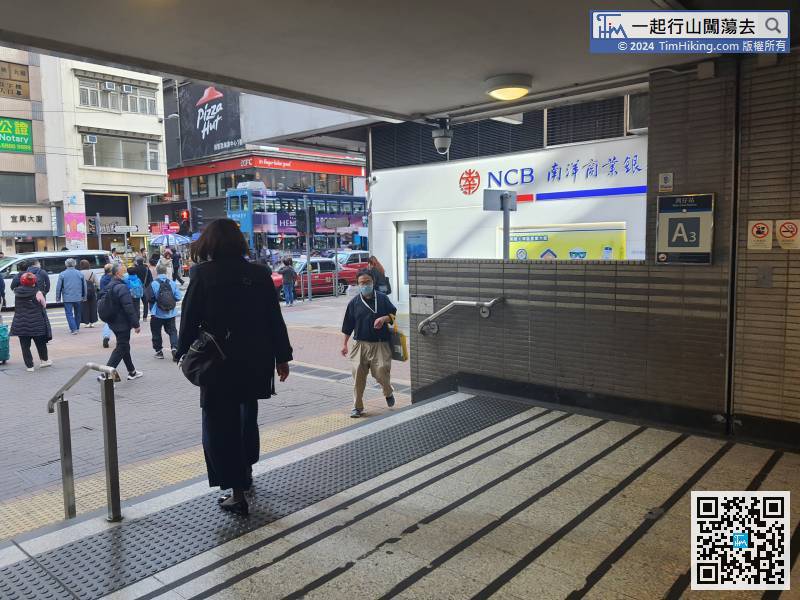
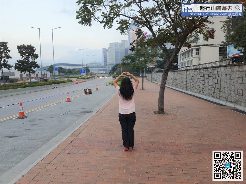
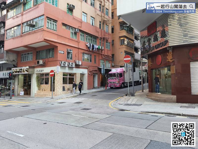
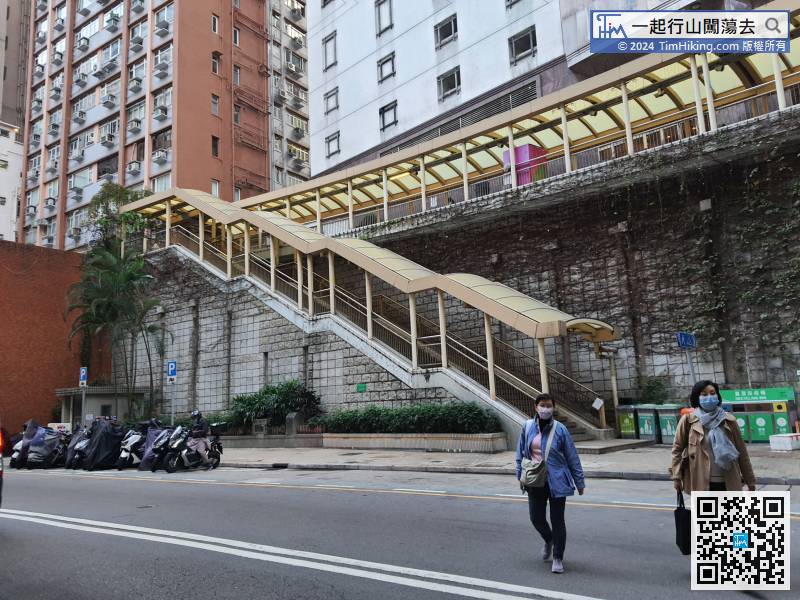
First take the MTR to Wai Chai Station, leave from Exit A3,
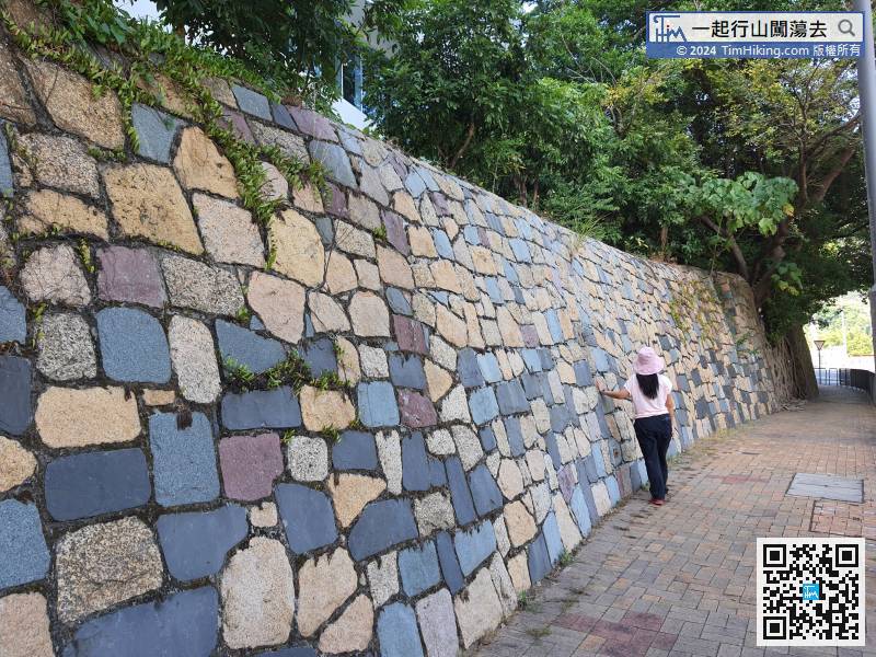
 22︰turn into Hong Kong Trail,
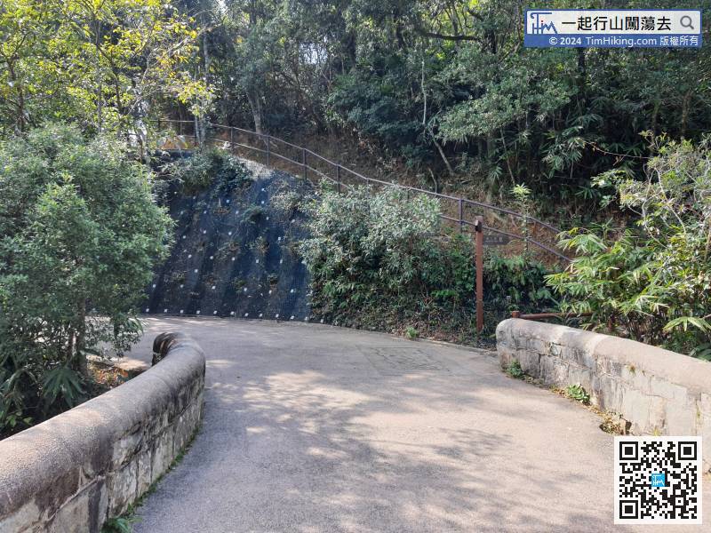
Pay attention to the bifurcation on the right-hand side,
43︰also follow the ribbon.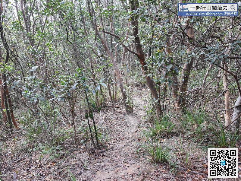
The next step is to descend the mountain,
Pok Fu Lam Road is the longest road section of this route, the whole section is 4km.
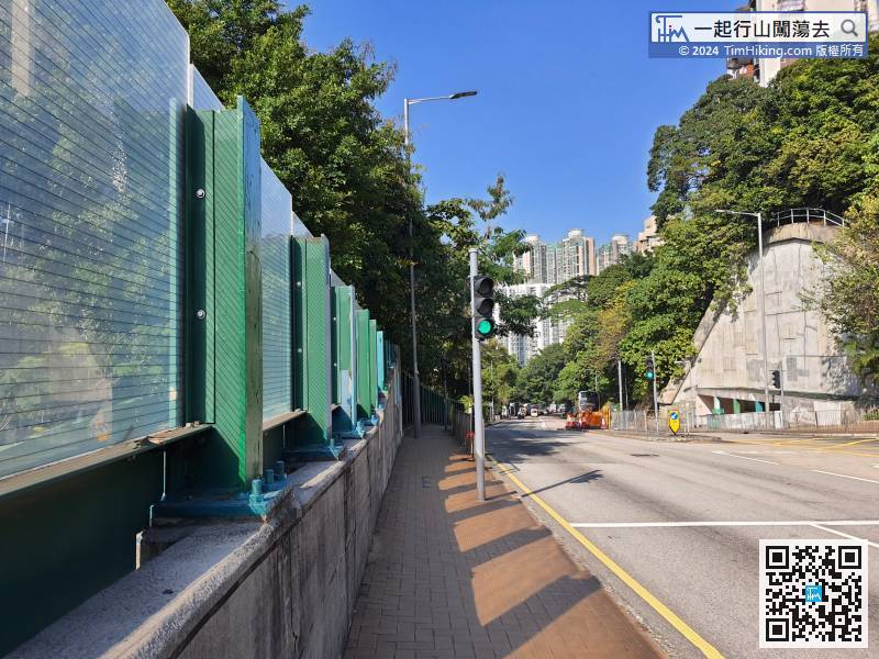
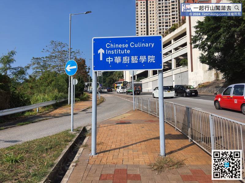
Next, continue to walk on Pok Fu Lam Road,
At the next bifurcation, turn right into New Street,
At the end of Hornsey Road, go down Old Peak Road,
When coming to the middle of Connaught Road, go straight,


