


 Recommend YouTube


| View : |  | ||
| Difficulty : |  | ||
 (No edge climbing) | |||
| Path : | |||
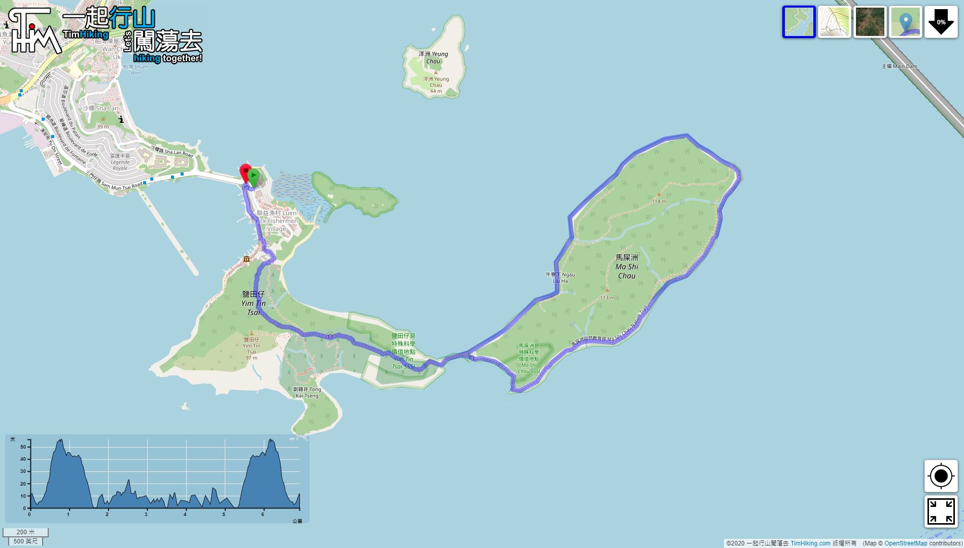
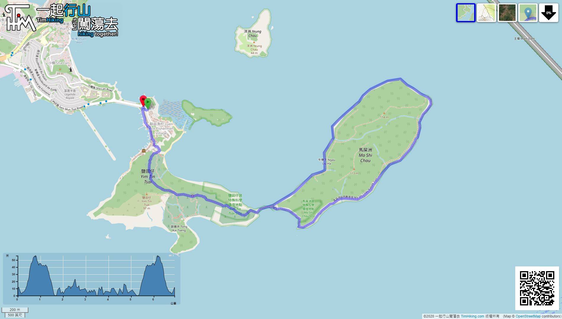
| Length : | 7km | ||
| Time : | 4hours | ||
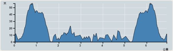 | |
| Ascent : 234m | Descent : 235m |
| Max : 56m | Min : 0m |
| (The accuracy of elevation is +/-30m) | |


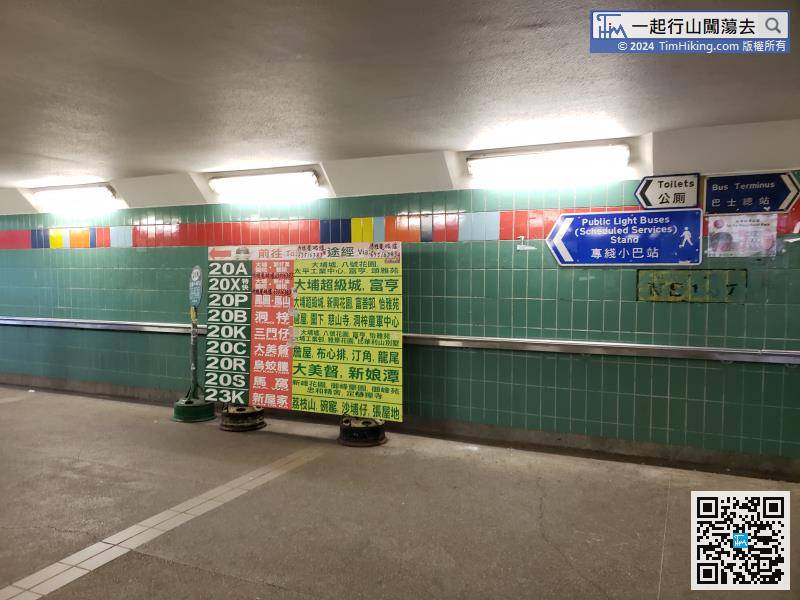
Starting at Sam Mun Tsai, hikers can take a minibus 20K or bus 74K from Tai Po Market Station.
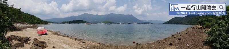
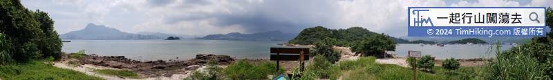
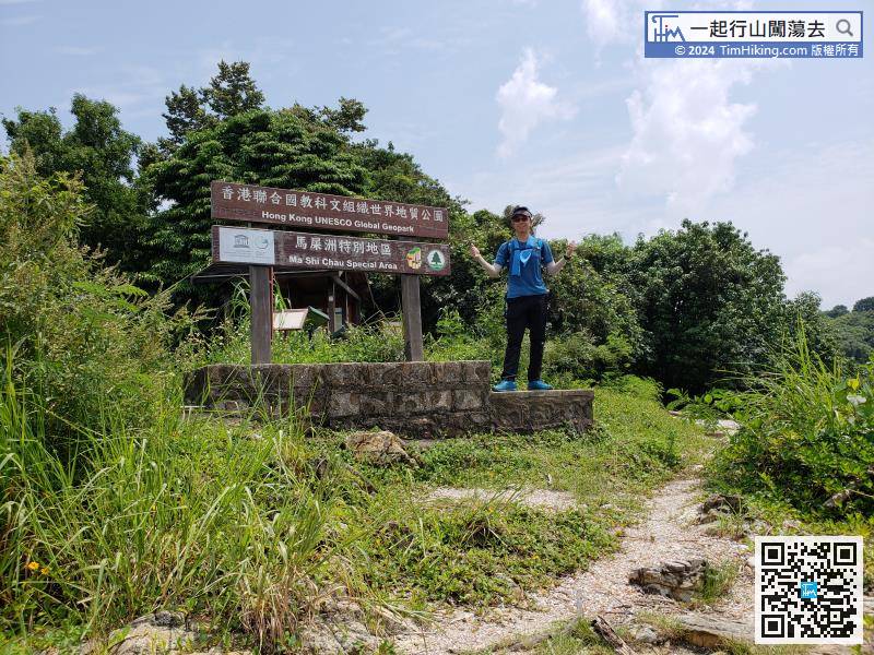
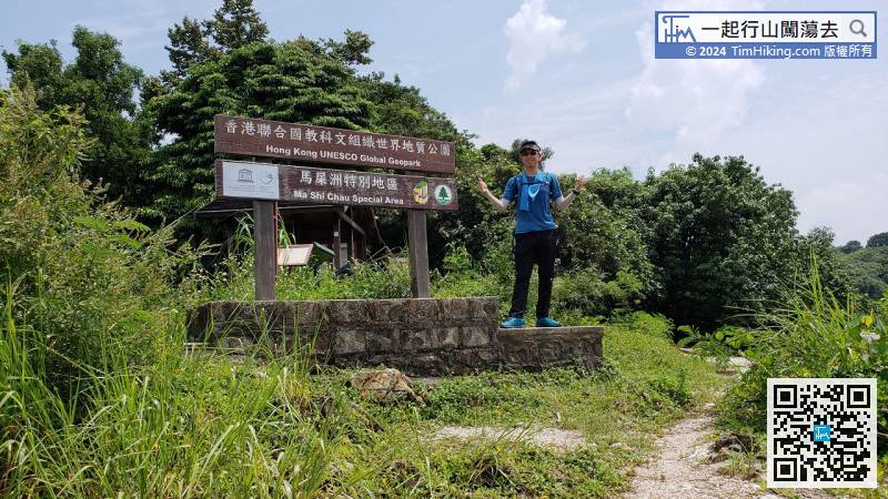
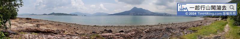
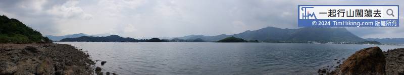
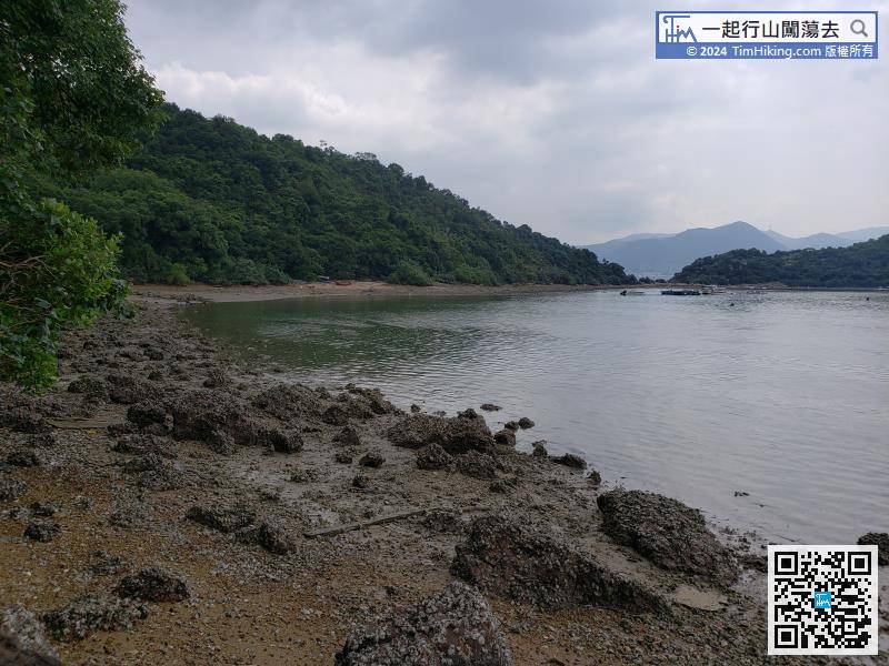
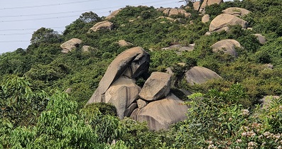
Ma Shi Chau is one of the scenic spots in the Hong Kong Geopark.
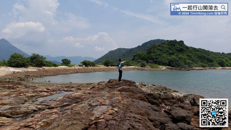
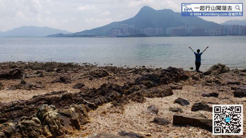
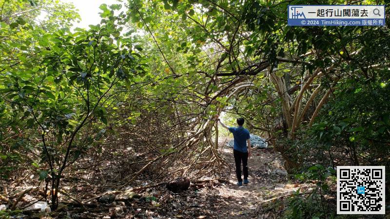
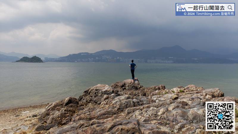
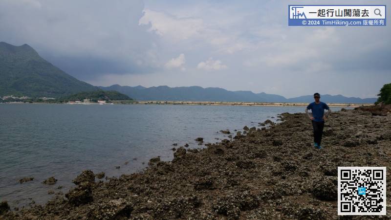
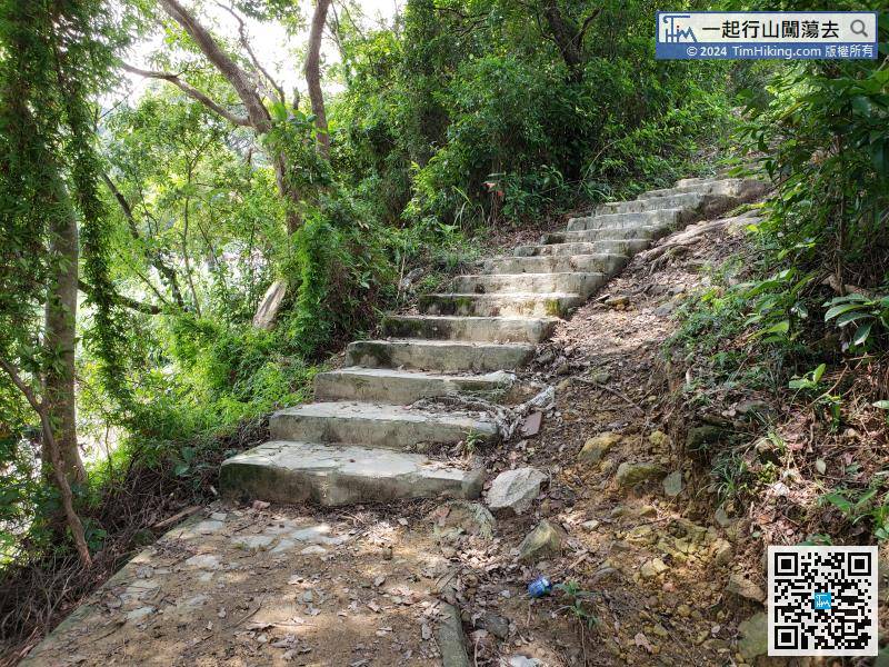
Generally, if walking the Nature Trail with kids or elderly, should return on the same road. The difficulty of the subsequent edge climbing section will increase greatly according to different tide heights, which is not suitable for novices.
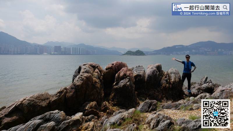
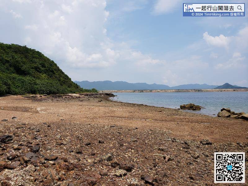
To the end is the narrowest section of the entire edge climbing road. Even at low tide, only a narrow channel can pass through.


