


 Recommend YouTube


| View : |  | ||
| Difficulty : |  | ||
| Path : | |||
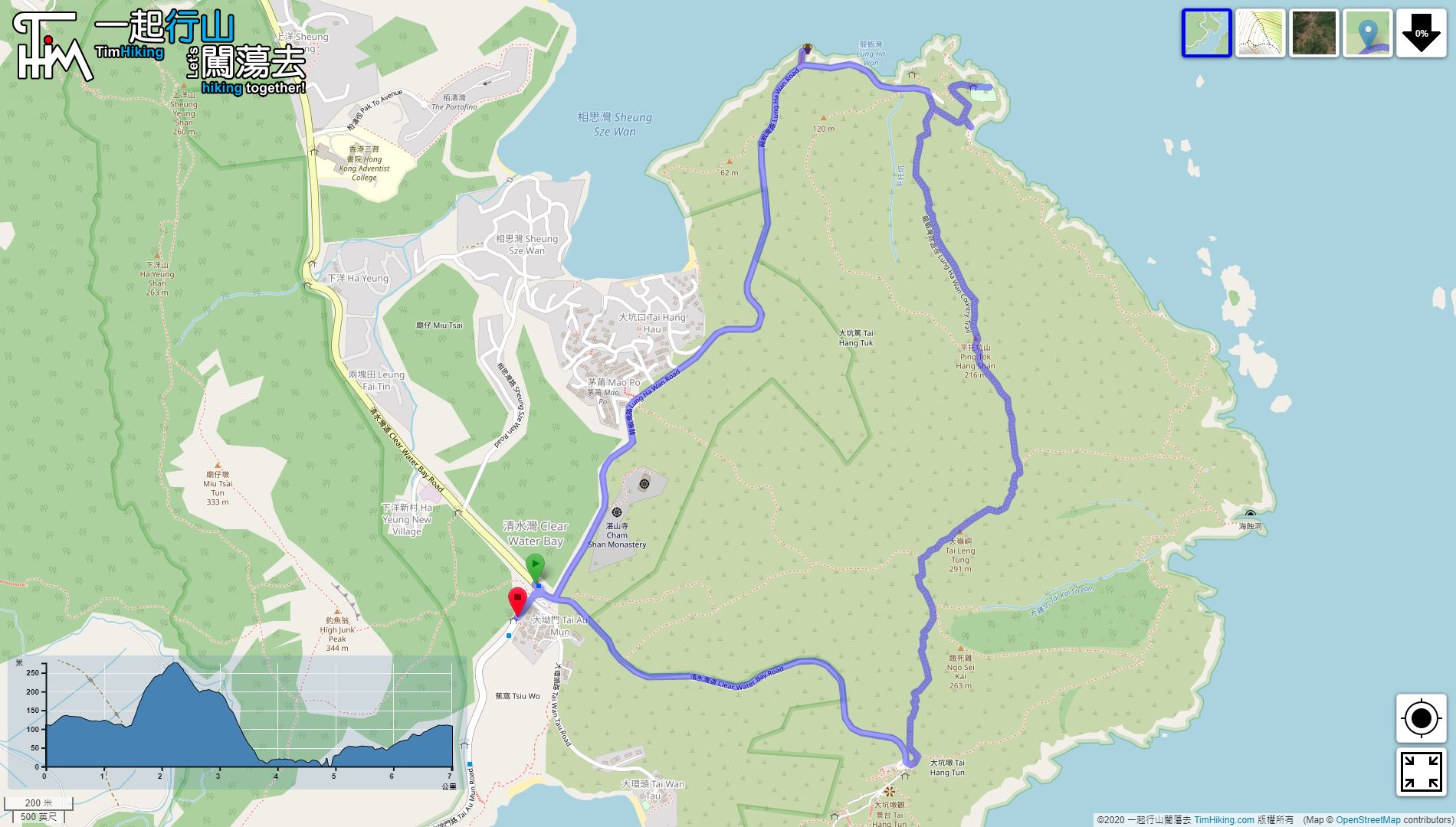
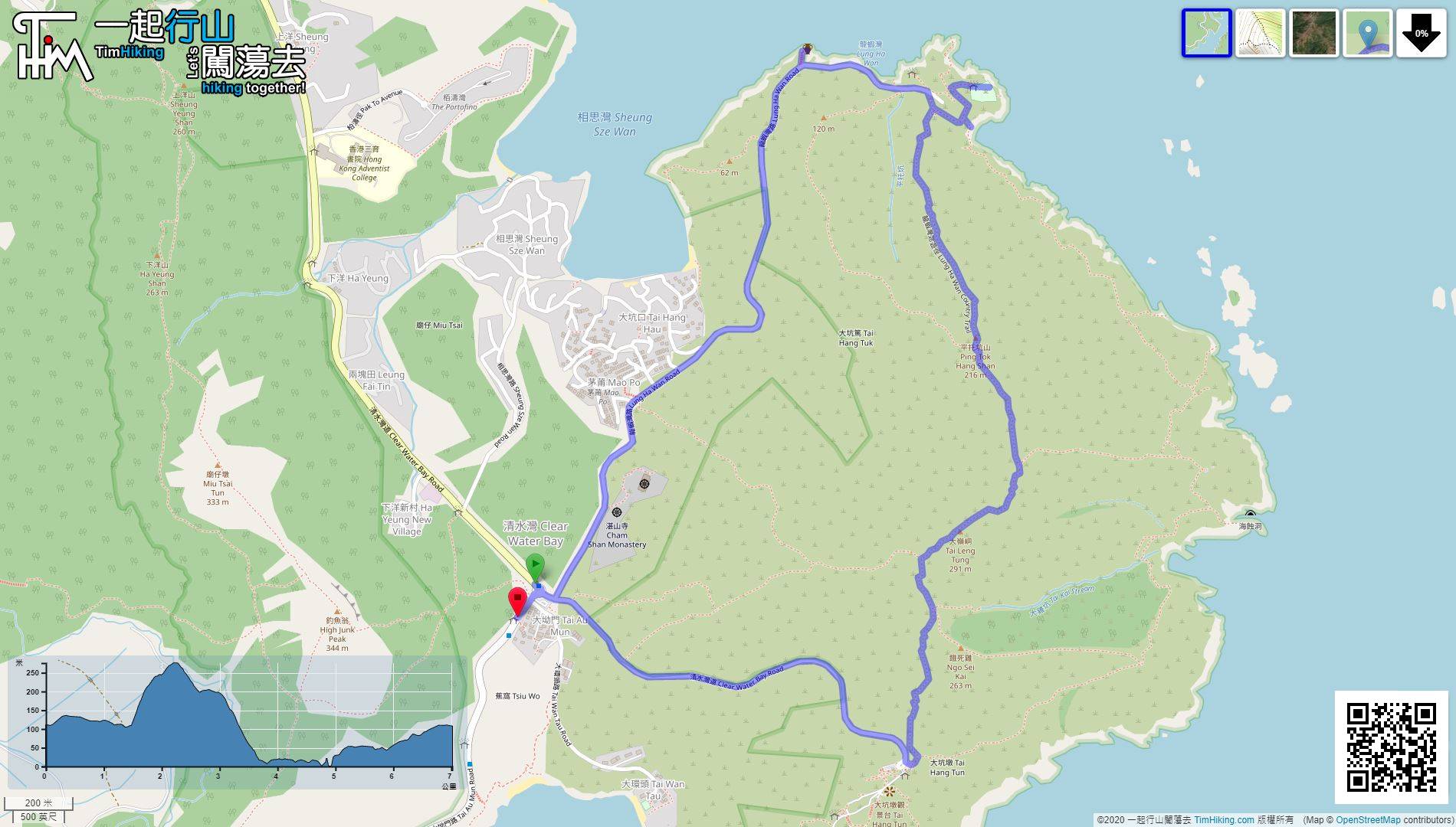
| Length : | 2.4km | ||
| Time : | 2½hours | ||
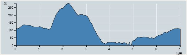 | |
| Ascent : 191m | Descent : 281m |
| Max : 276m | Min : 15m |
| (The accuracy of elevation is +/-30m) | |


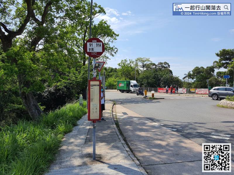
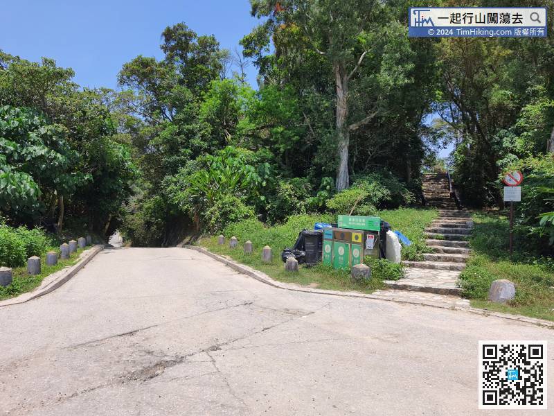
First, get off at the Tai Au Mun roundabout, there are buses and minibuses available.
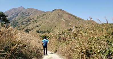
 15︰and bypass the barren trails on both sides,
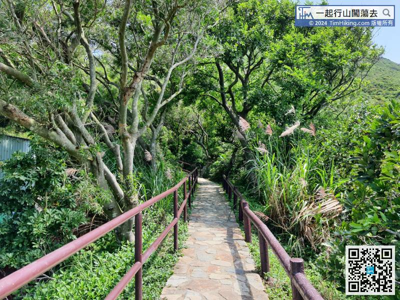

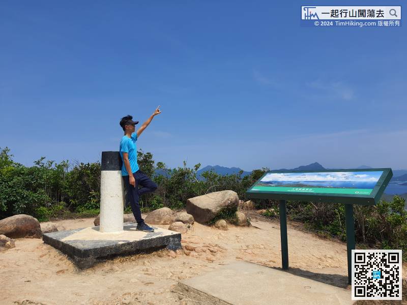
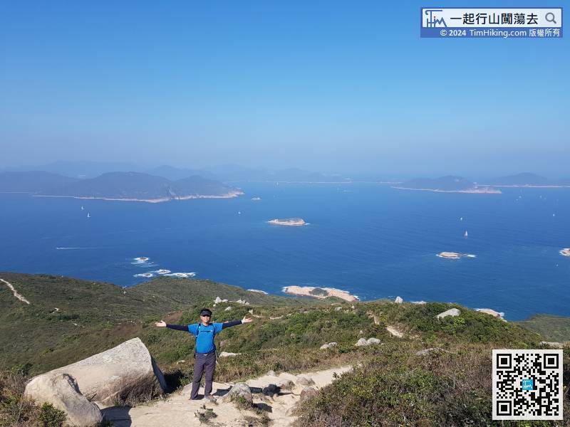
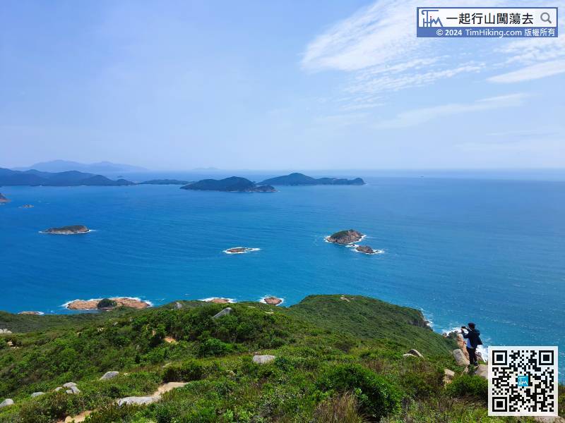
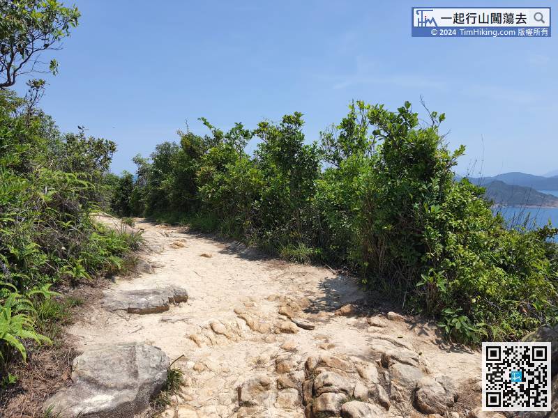
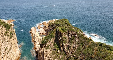
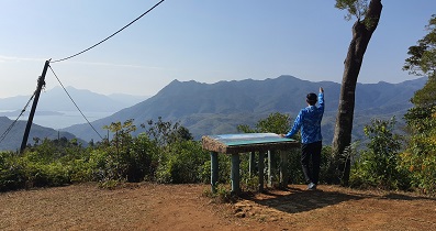
In addition to the Trigonometrical Station, Tai Leng Tung also has a Viewing Point next to it,
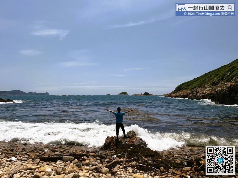
 51︰and will be arrived at Lung Ha Wan Stone Beach.
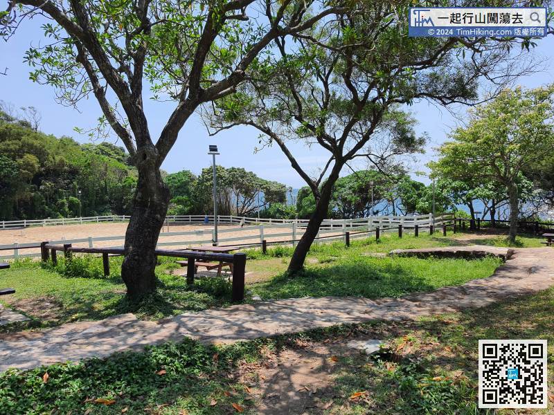
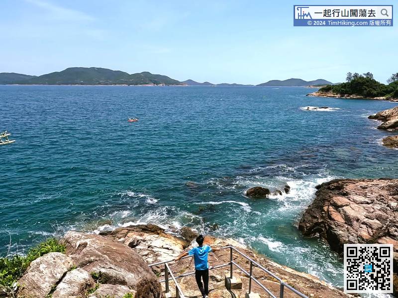
Keep walking along the stone path until coming to the riding school,
Hiker can leave here by calling a taxi, or go out on foot.


