


 Recommend YouTube


| View : |  | ||
| Difficulty : |  | ||
| Path : | |||
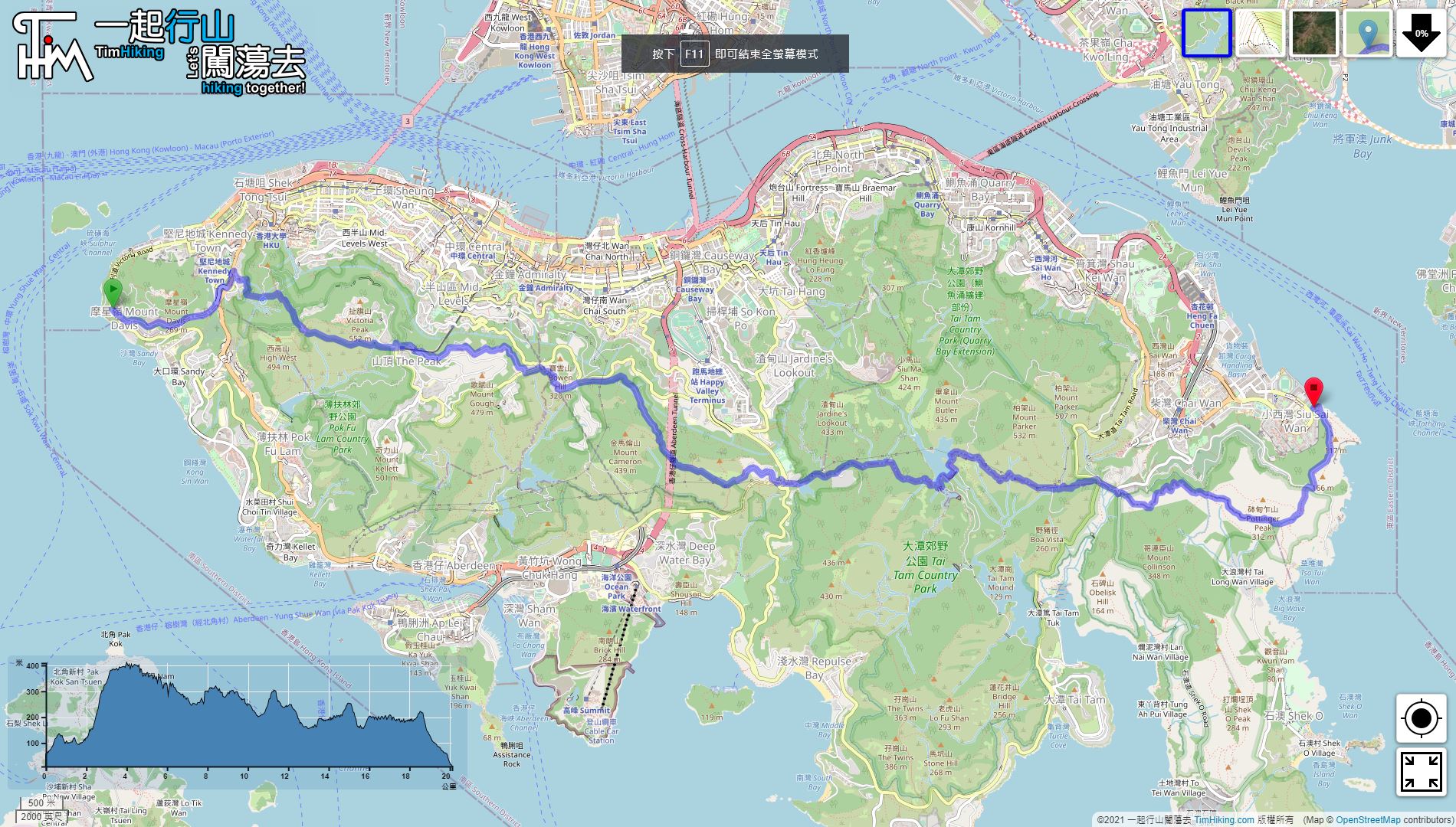
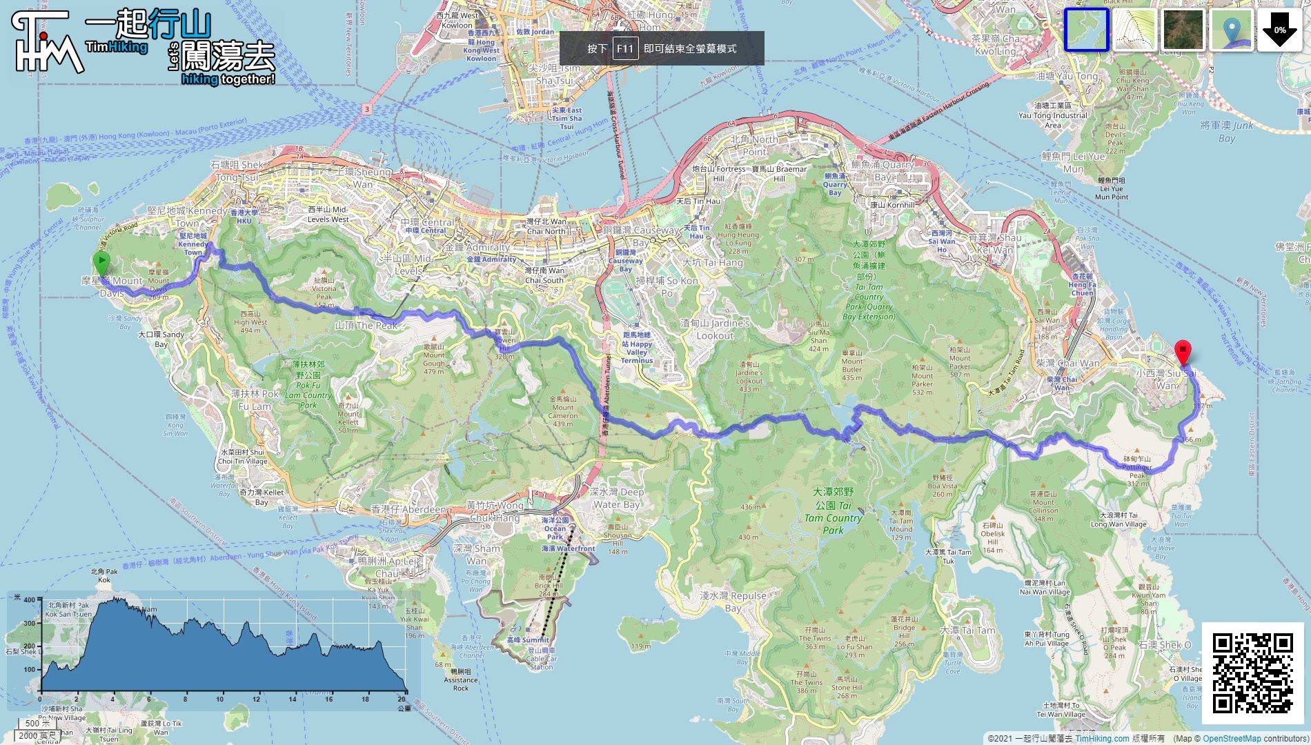
| Length : | 20.3km | ||
| Time : | 6hours | ||
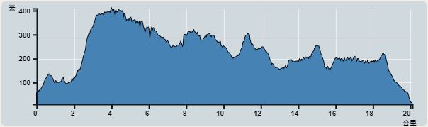 | |
| Ascent : 1,742m | Descent : 1,778m |
| Max : 410m | Min : 9m |
| (The accuracy of elevation is +/-30m) | |

 Petrol Station
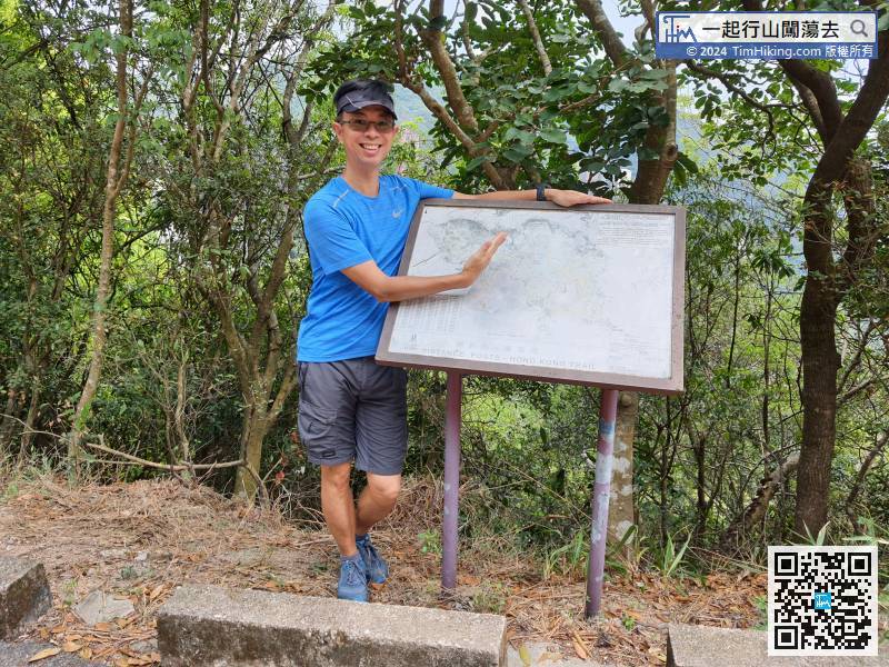
 7︰turn right at the bifurcation,
If you want to save 2km of energy, you can take the 1/43M/971 bus from Kennedy Town Station to the starting point and get off at Mount Davis Path.
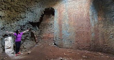
21︰cross a stream,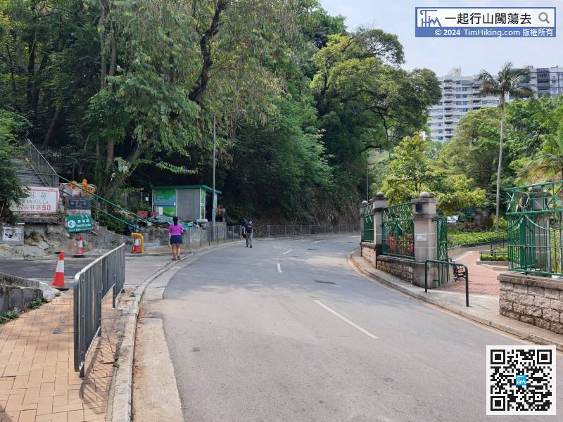 38︰After a while, come to Pinewood Battery,
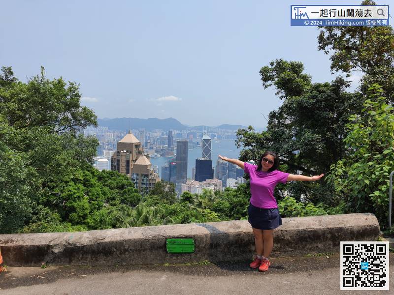
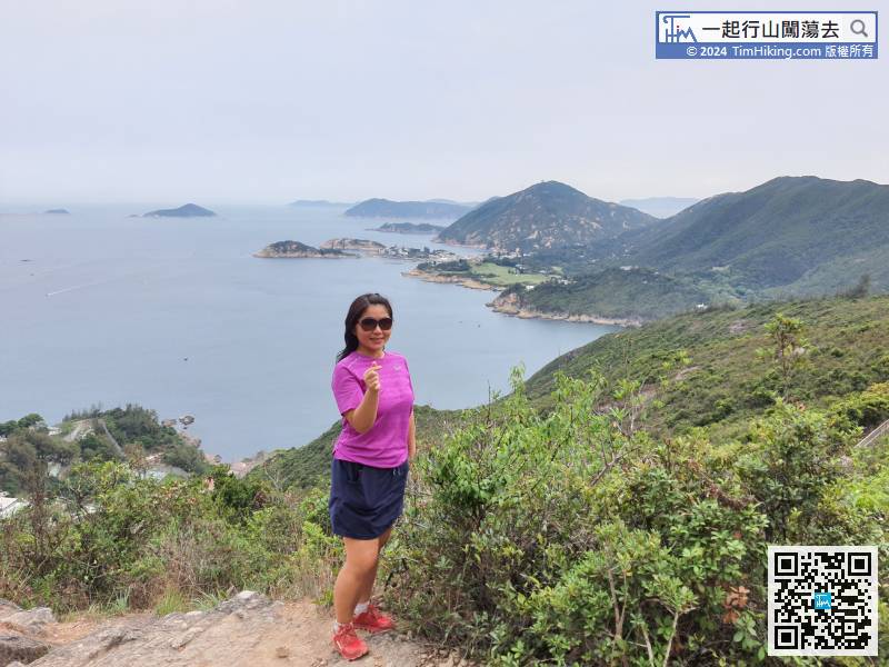
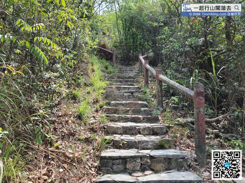 62︰and there are many places with a good view.
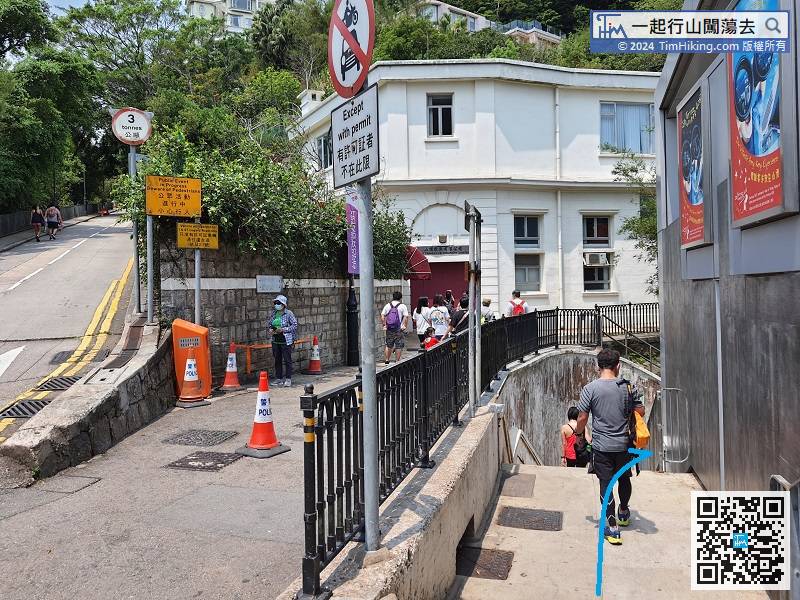
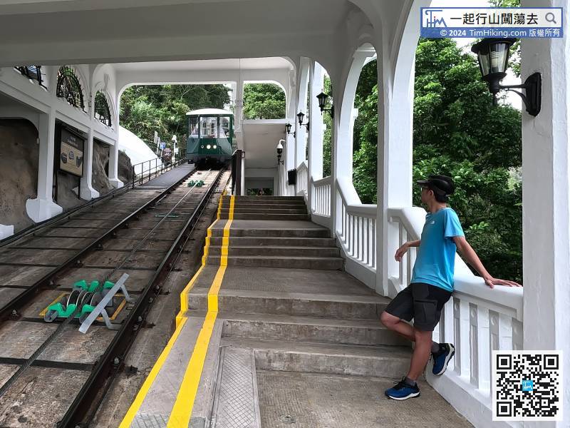
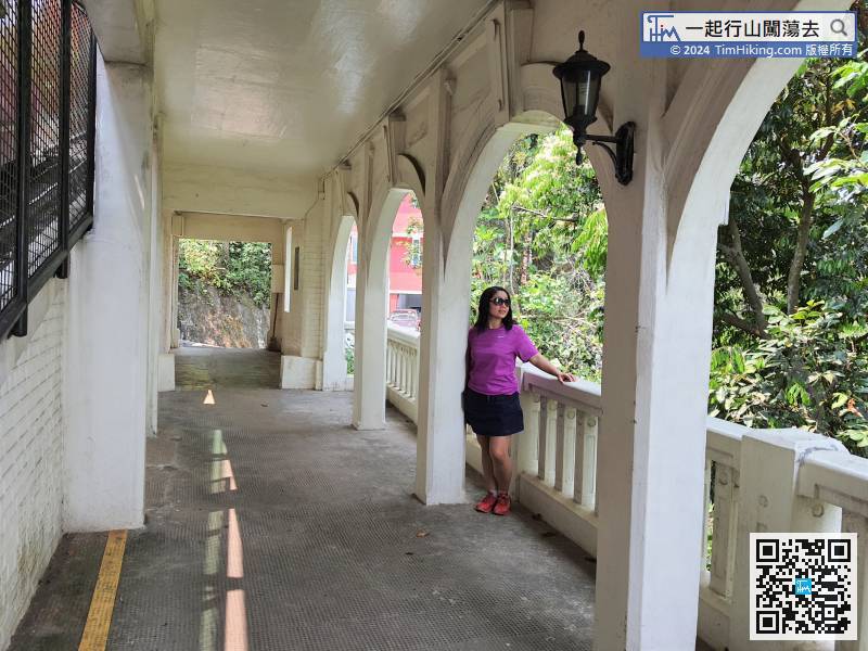
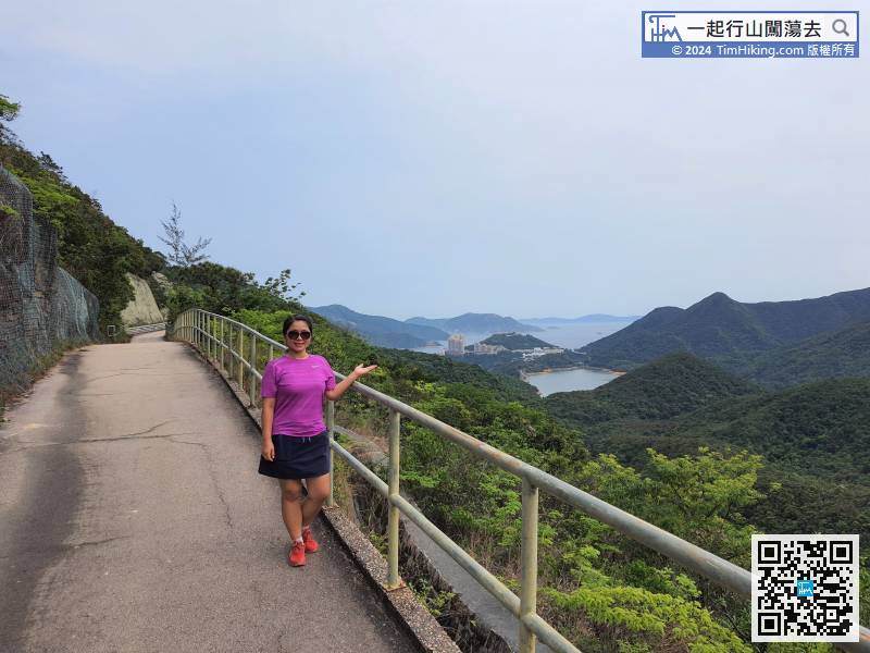
Follow the steps next to Lugard Road for Section 2,
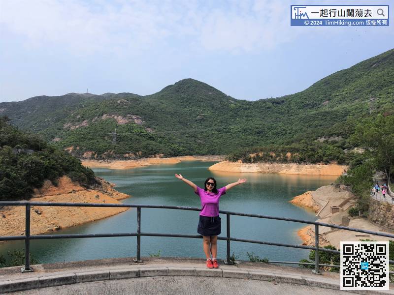
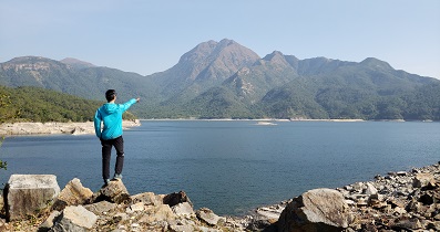
75︰Keep left at the bifurcation,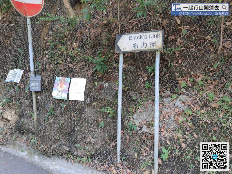 97︰After walking for 1.5km, will come to Tai Tam Upper Reservoir.
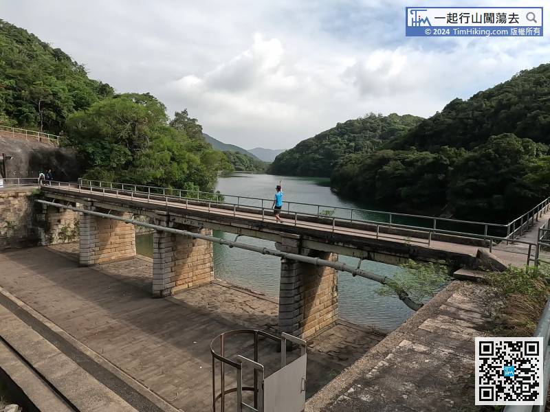
Start Cross Frog Section 3, follow the Tai Tam Reservoir Road,
106︰the left way is to Quarry Gap, the way of Cross Frog is to turn right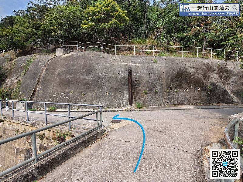
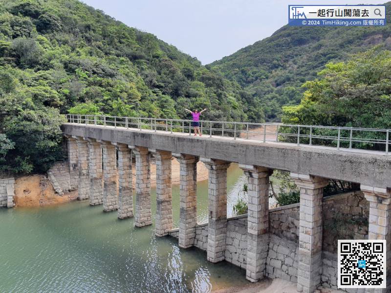
Cross the Tai Tam Upper Reservoir Masonry Bridge, then turn left,
116︰The barren trail is very clear,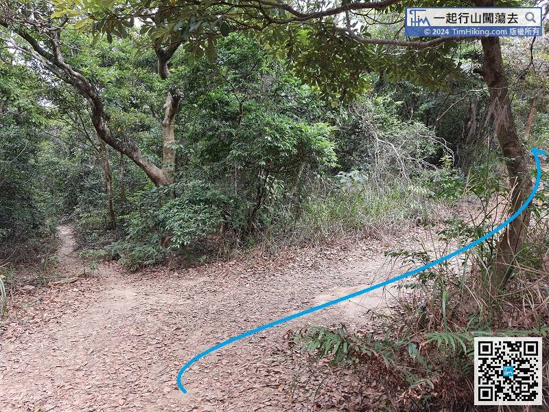 129︰At the bifurcation, keep to the left, the way on the right is going to Dragon's Back.
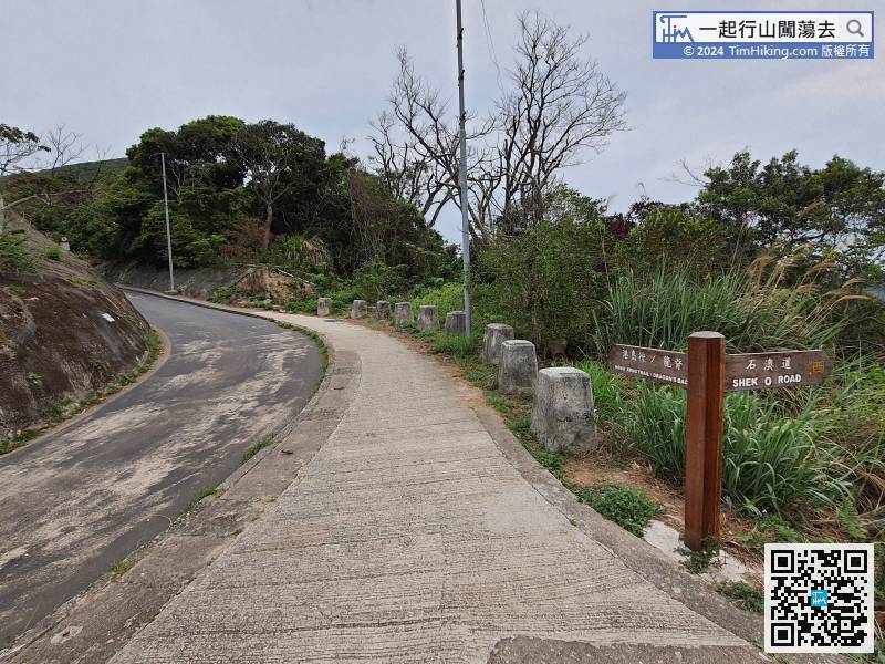
Climb up the steps and start Cross Frog Section 4. The remaining distance is about 4km.
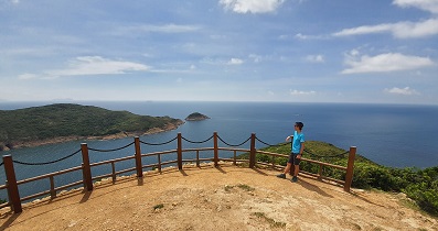
147︰the two bifurcations on the right go to Viewing Point,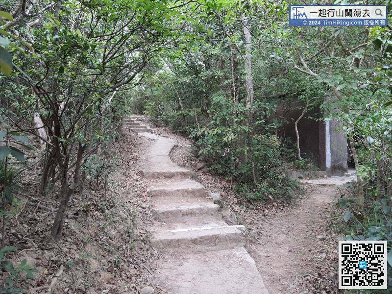


