


 Recommend YouTube

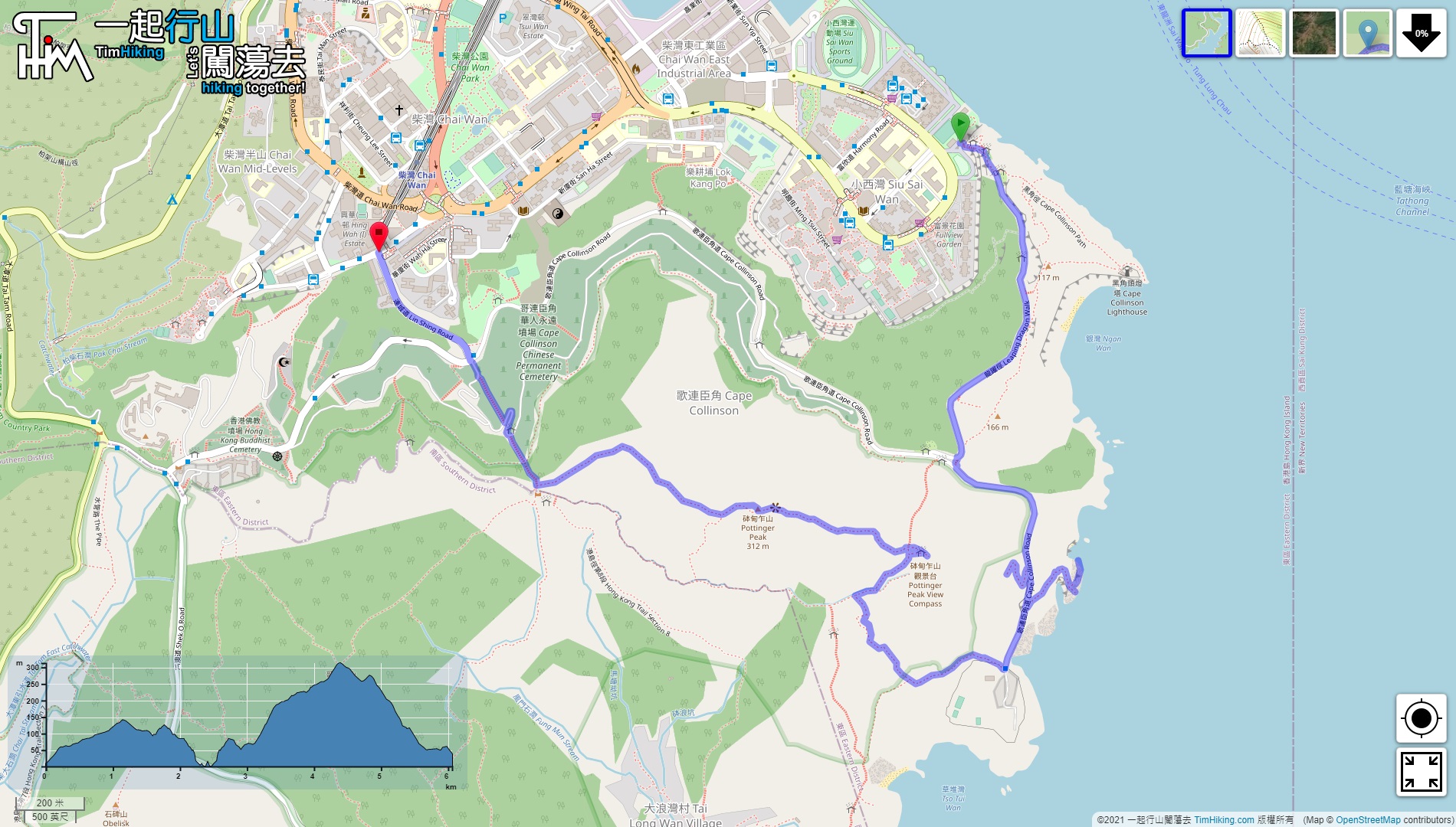

| View : |  | ||
| Difficulty : |  | ||
| Path : | |||
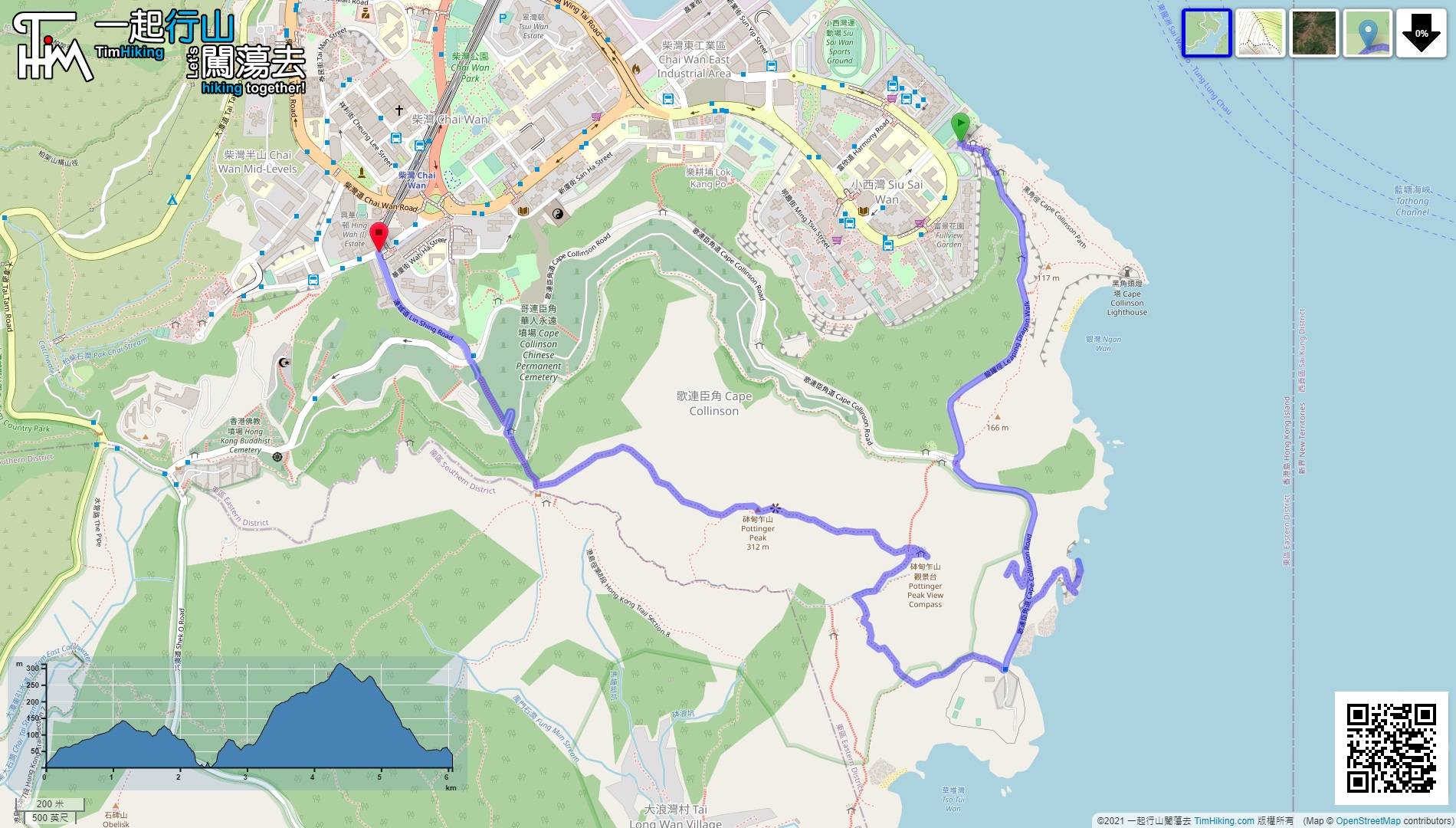
| Length : | 6.1km | ||
| Time : | 2½hours | ||
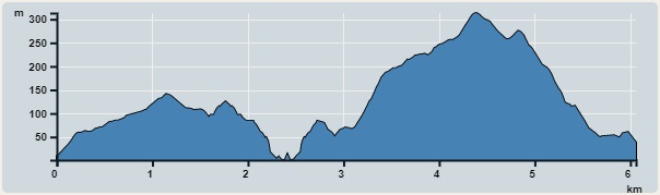 | |
| Ascent : 583m | Descent : 554m |
| Max : 307m | Min : 2m |
| (The accuracy of elevation is +/-30m) | |


 10︰Go up the stairs, and connect to Cape Collinson Road. Then, turn to the left and down the hill.
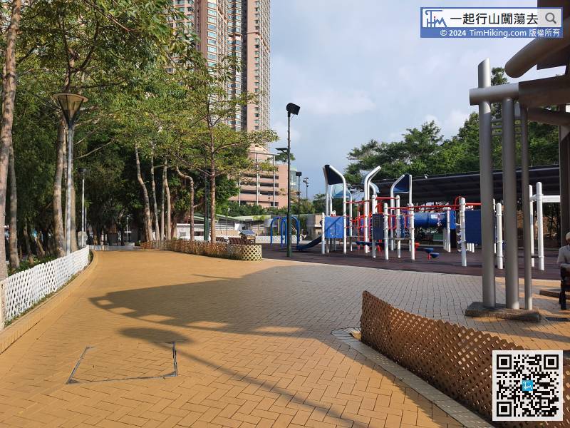
After getting off the bus, go to the Siu Sai Wan Waterfront Playground near the shore,
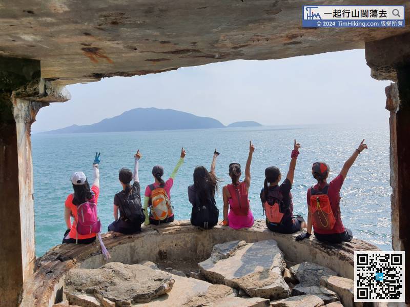
18︰Hikers will find the British WWII Power Plant at the end.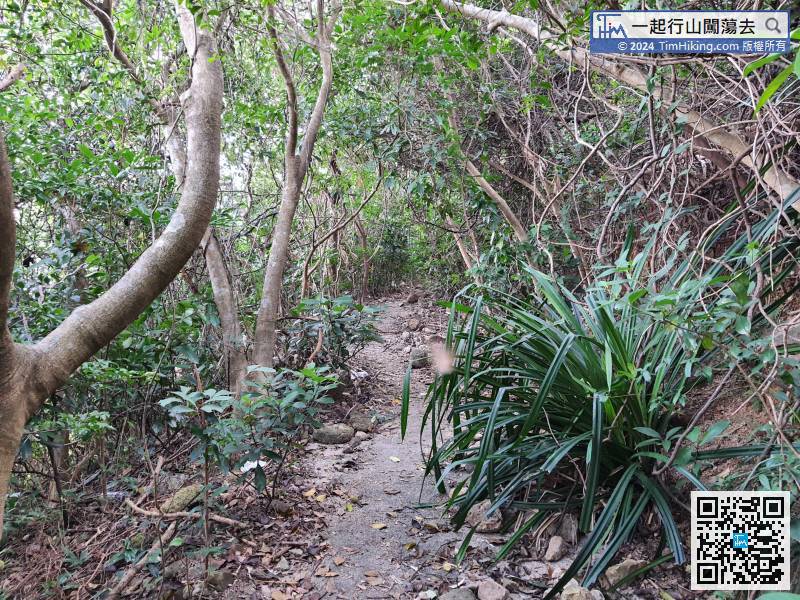 32︰On the right is one of the Cape Collinson Battery Searchlights.
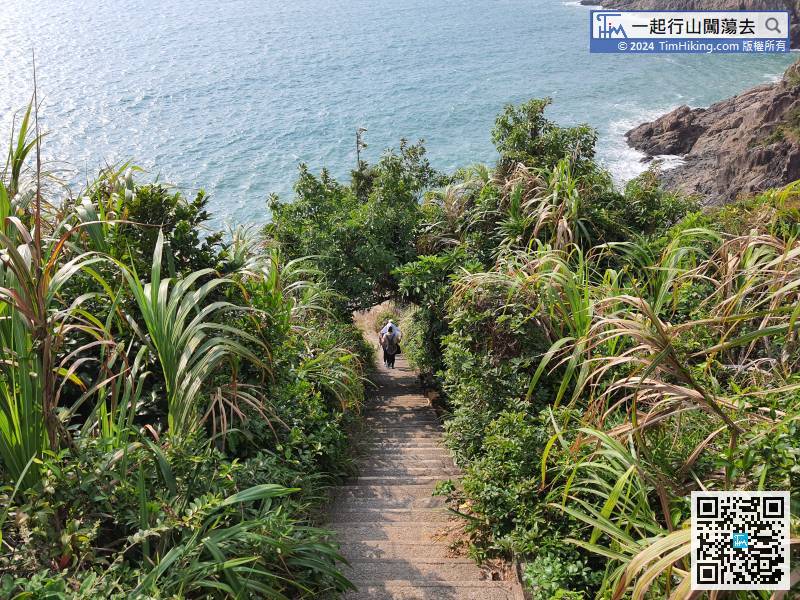 50︰Go to the end of the road is the Cape Collinson Correctional Institution.
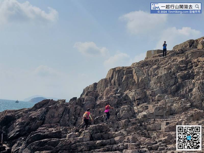
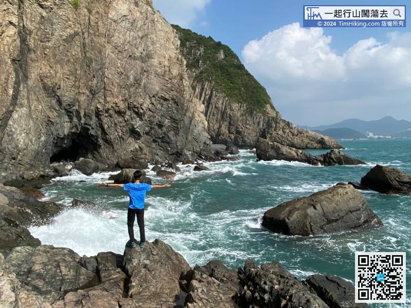
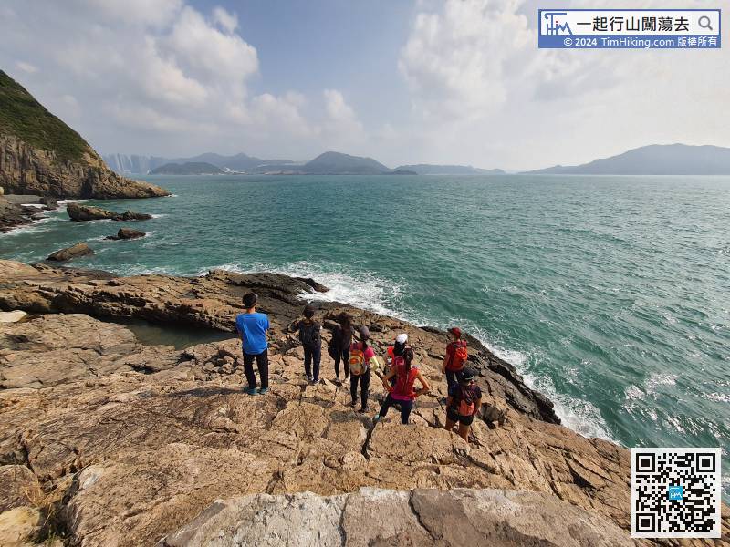
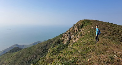
After enjoying the beautiful and shocking scenery, climb back along the road.
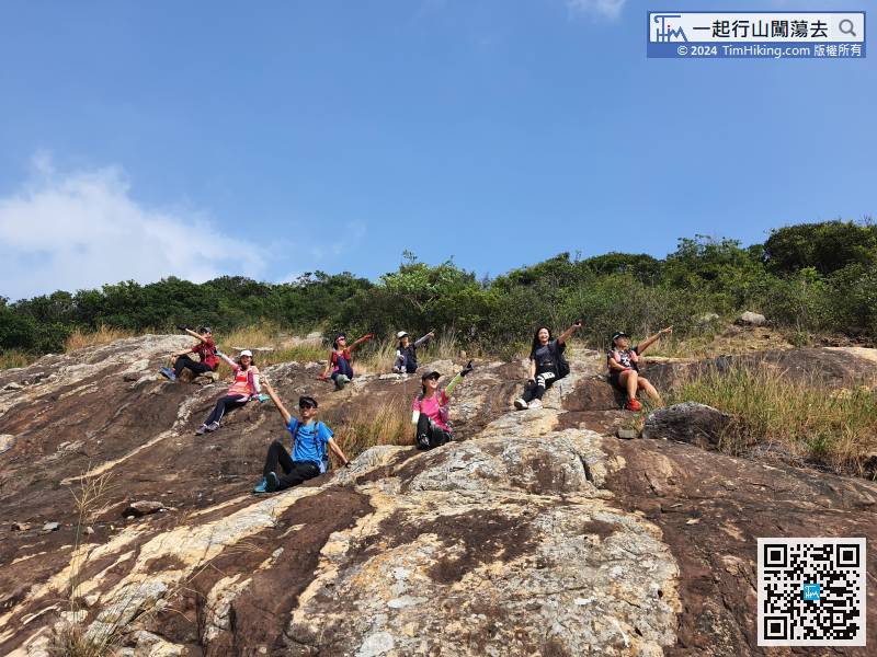
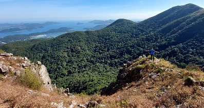
65︰may see an unknown intersection, keep to the right.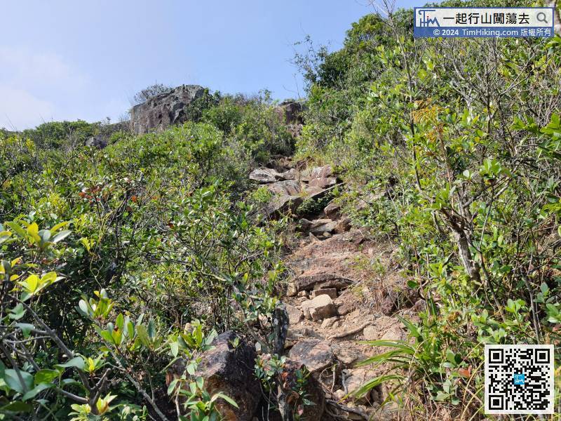 85︰go forward a little bit more, and keep to the right is the bifurcated road to the real Pottinger Peak Viewing Point.
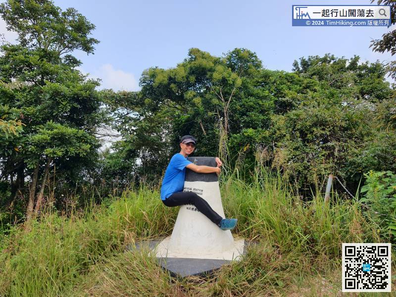
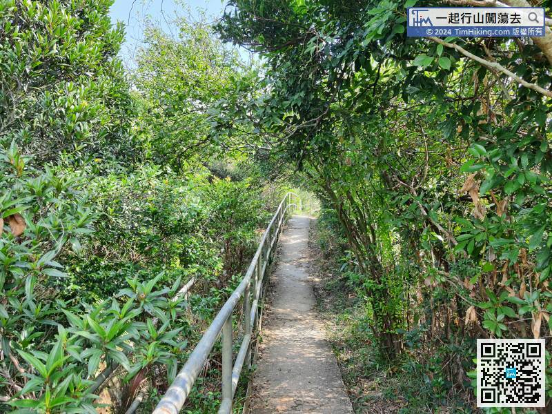 99︰and the Fat Trigonometrical Station is on the right.
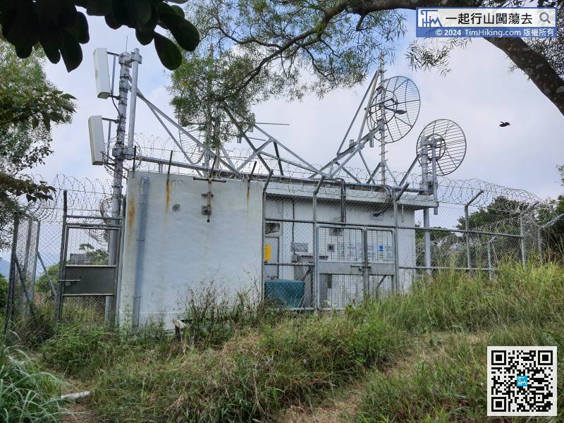
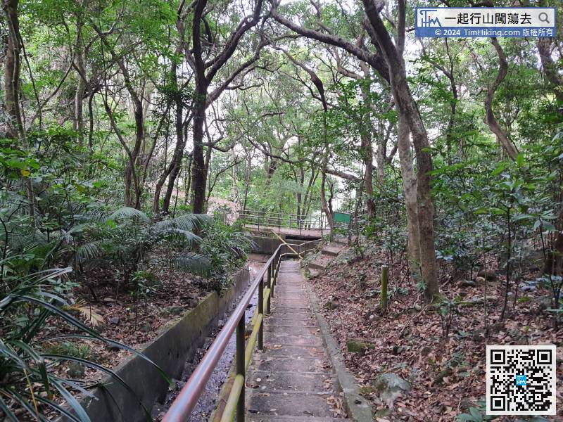
After that is the digital TV Transmitting Station of Pottinger Peak,


