


 Recommend YouTube


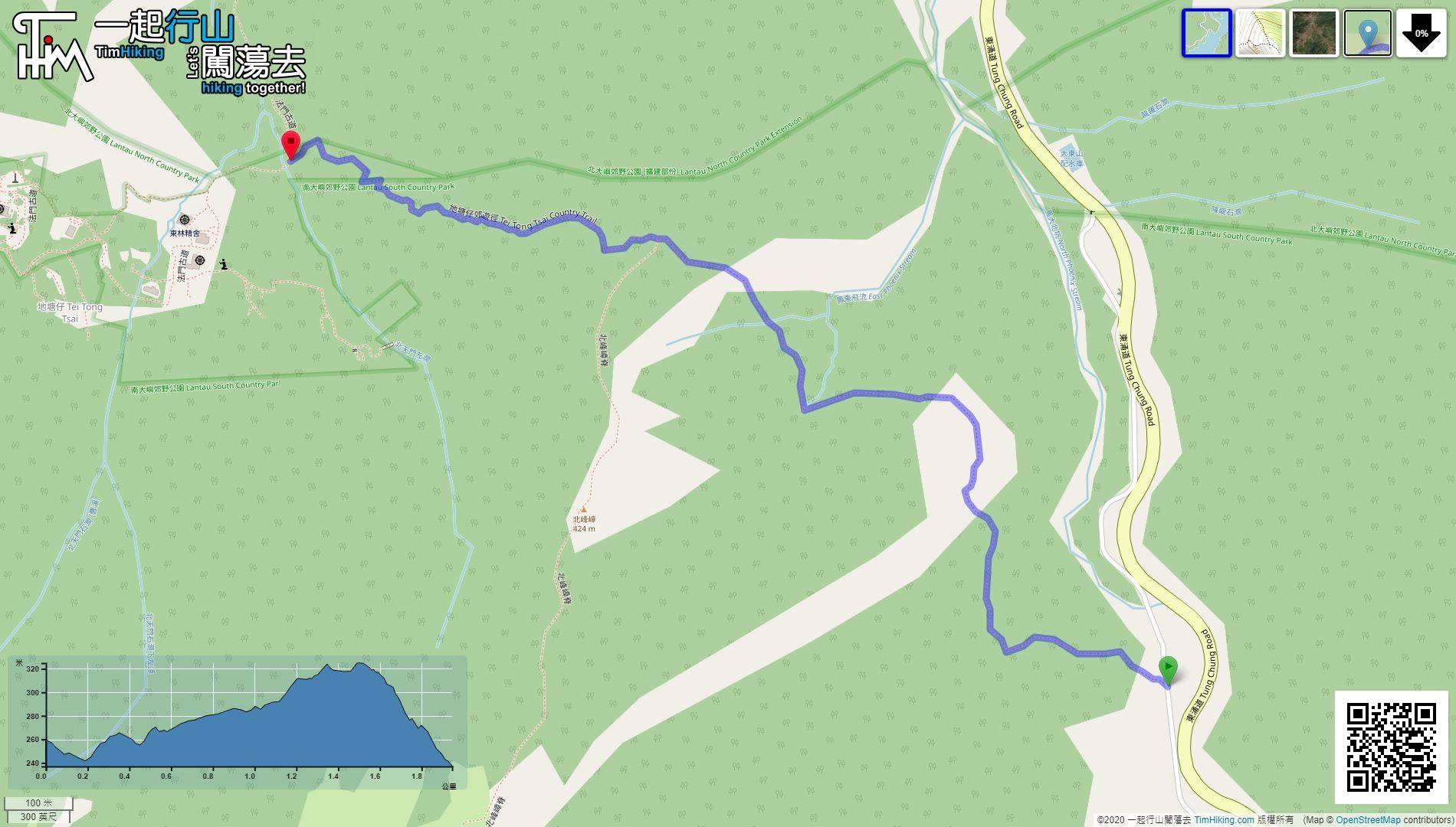
| View : |  | ||
| Difficulty : |  | ||
| Path : | |||
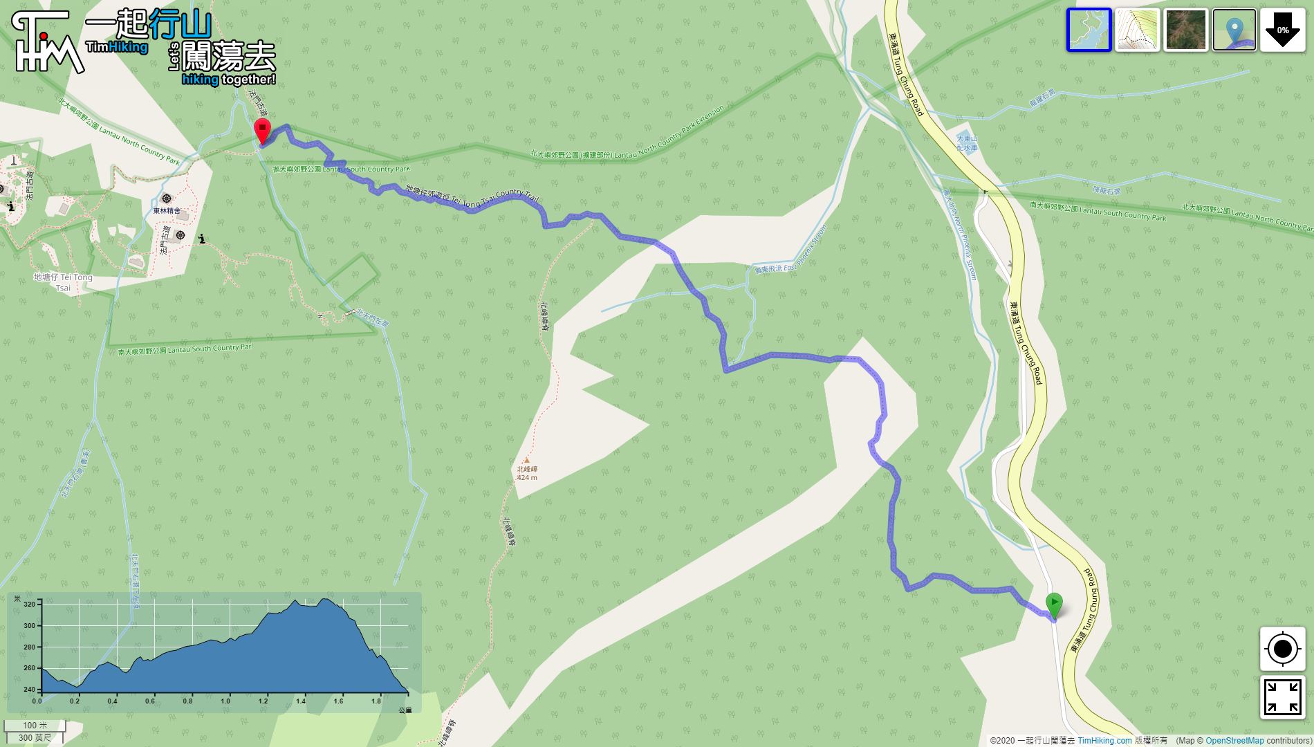
| Length : | 2km | ||
| Time : | ¾hours | ||
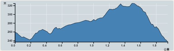 | |
| Ascent : 88m | Descent : 88m |
| Max : 125m | Min : 147m |
| (The accuracy of elevation is +/-30m) | |


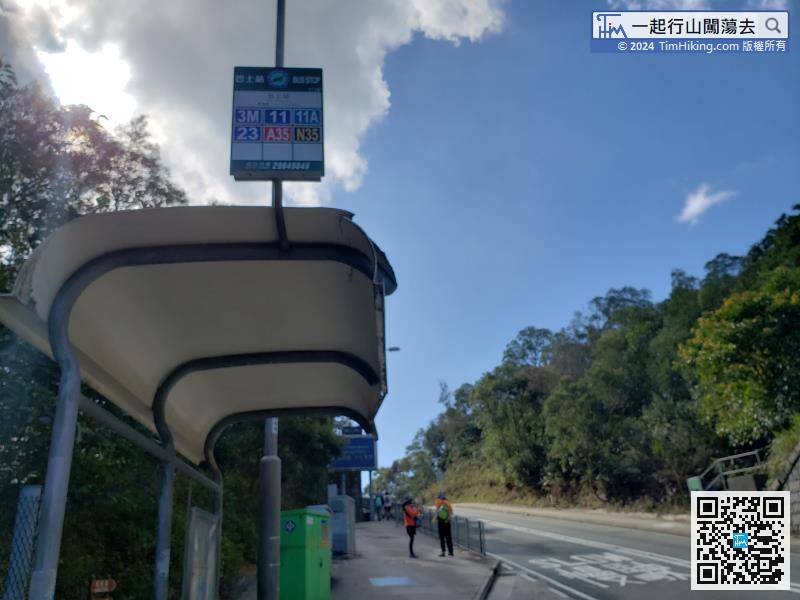
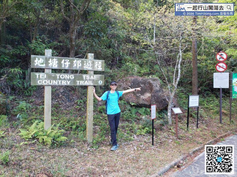
The starting point is at Pak Kung Au. You can take the Lantau bus 3M at Tung Chung. Tell the driver Pak Kung Au to get off before paying, can enjoy a segment discount.


