


 Recommend YouTube


| View : |  | ||
| Difficulty : |  | ||
| Path : | |||
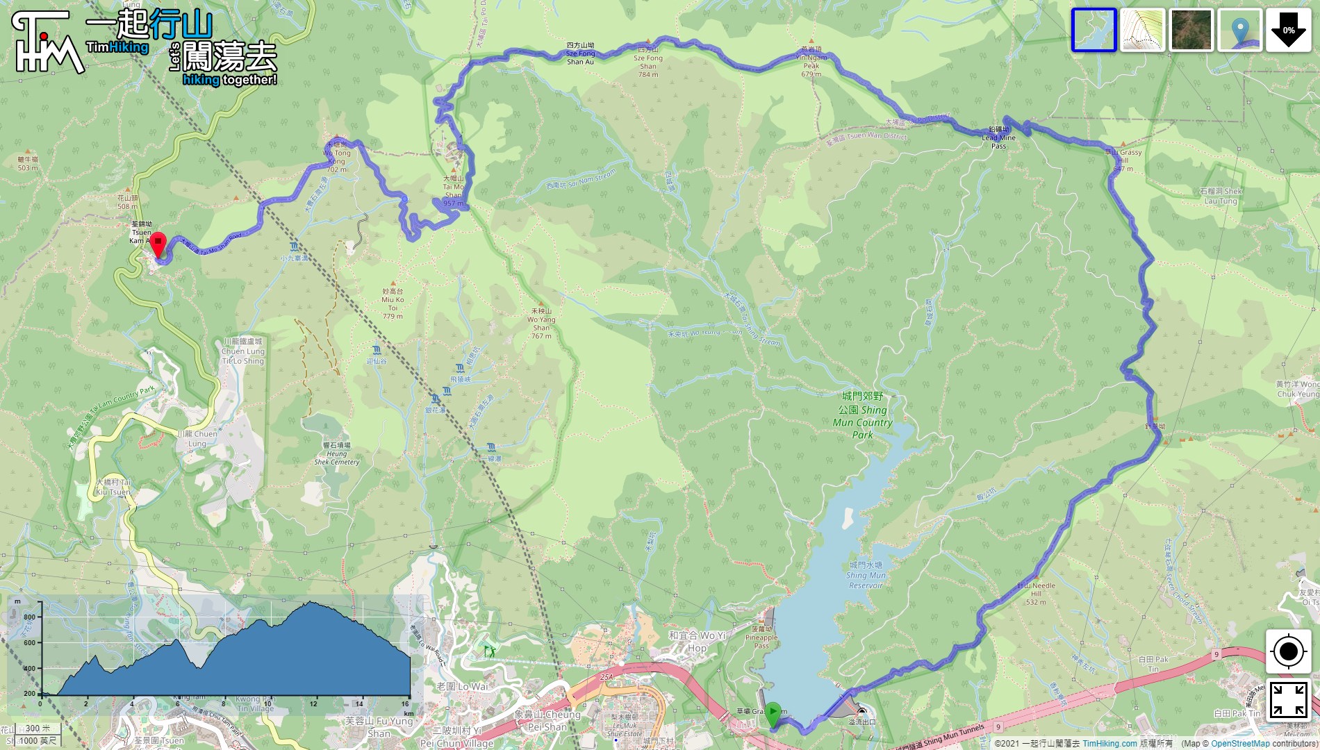
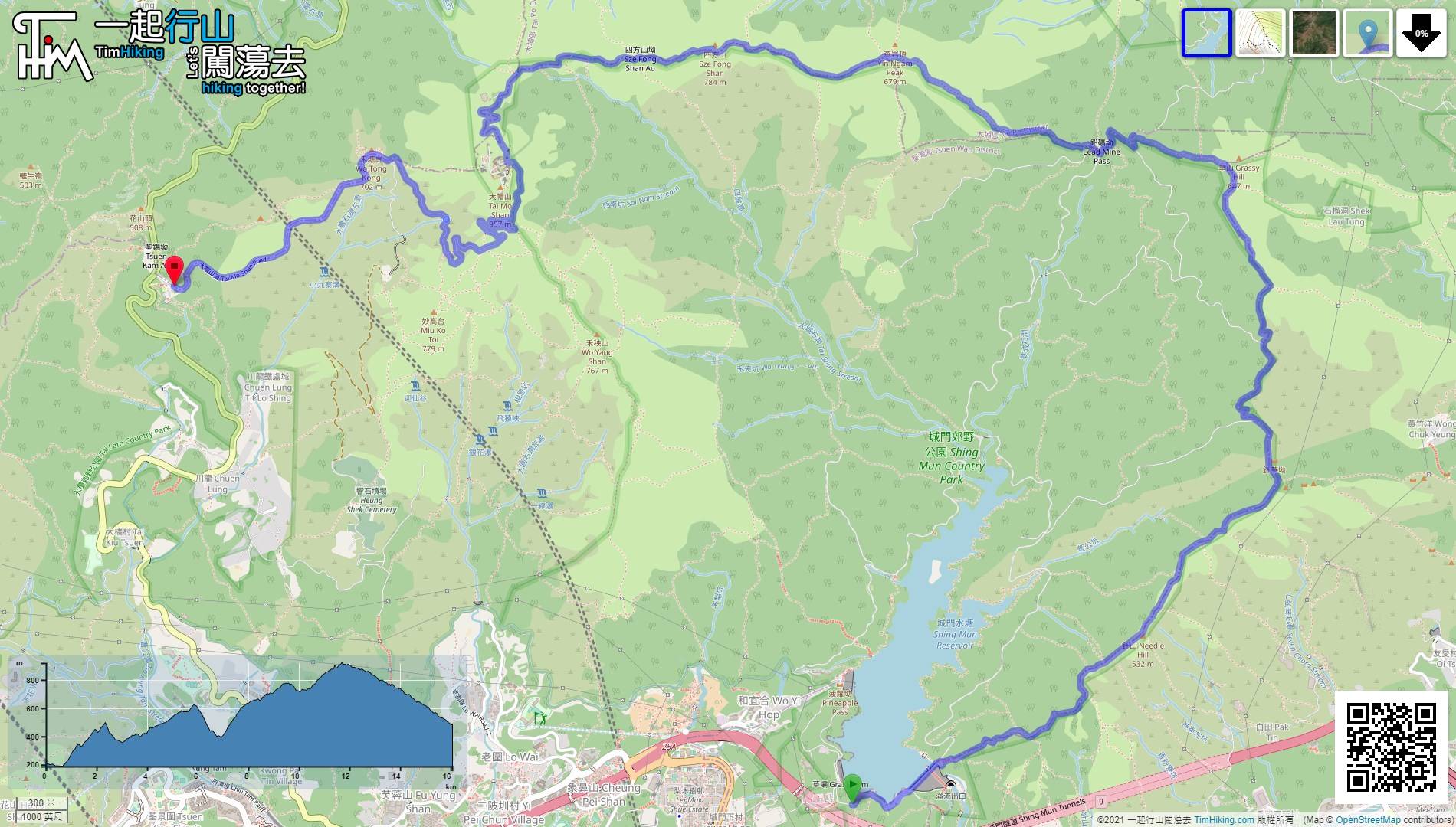
| Length : | 16.1km | ||
| Time : | 6hours | ||
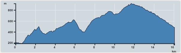 | |
| Ascent : 1,412m | Descent : 1,230m |
| Max : 919m | Min : 180m |
| (The accuracy of elevation is +/-30m) | |


 7︰and make two more turns to the climbing entrance of Needle Hill.
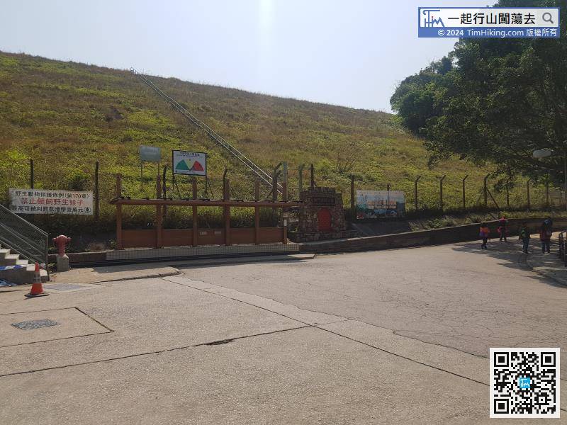
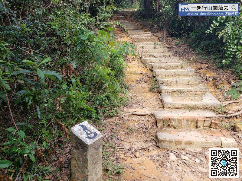
The steps up to Needle Hill are quite long, around 1.6km from the top of the hill,
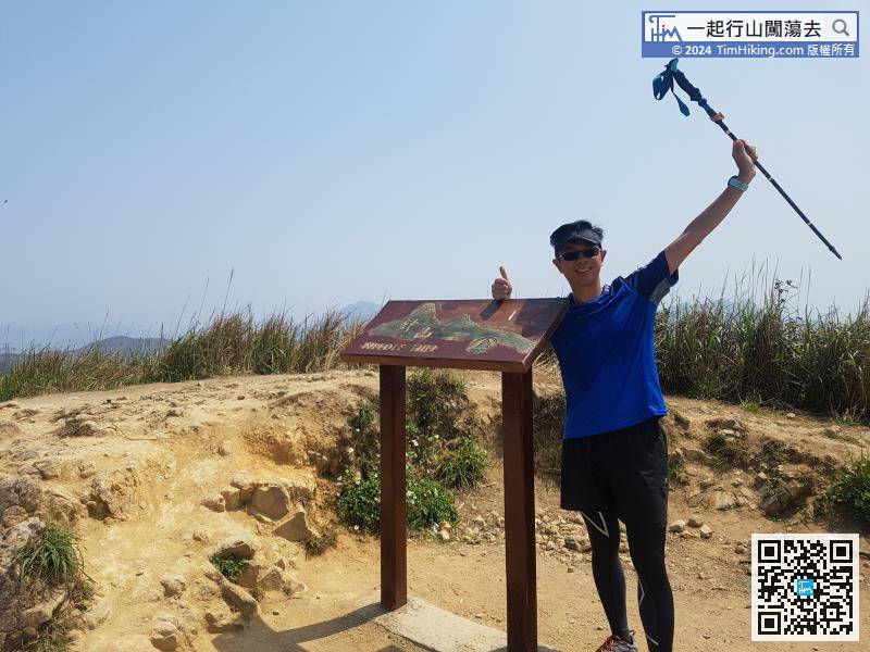
Needle Hill is 532 meters high, there is a trigonometrical station on the top of the mountain. There is also a wooden brand named 'Needle Hill'.
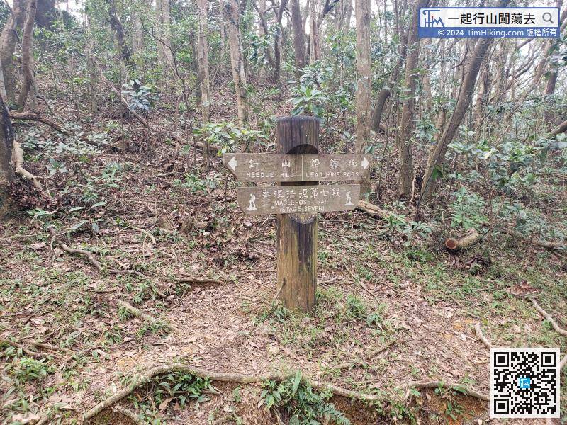
There is a road sign next to the Lead Mine Pass direction, but no distance is indicated. According to the map, there is still 3.4km.
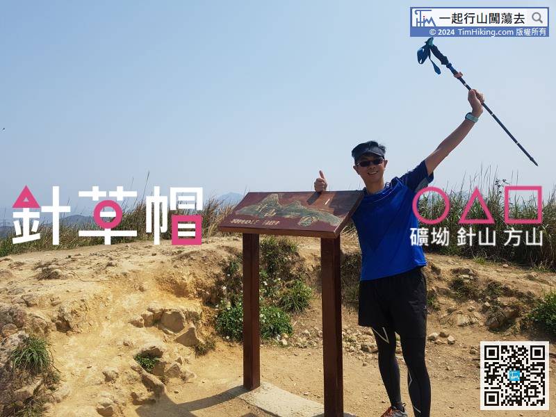
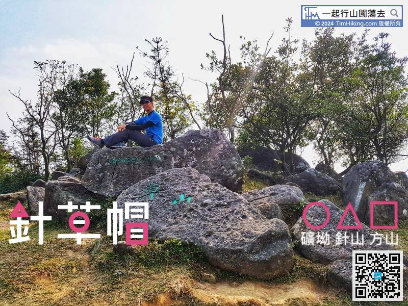
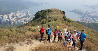
35︰The trigonometrical station and the Grassy Hill landmark are on the right-hand side about 20 meters away. Generally, will go to the Grassy Hill landmark only and leave after checking in.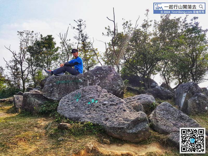
The trigonometrical station and the Grassy Hill landmark are on the right-hand side about 20 meters away. Generally, will go to the Grassy Hill landmark only and leave after checking in.
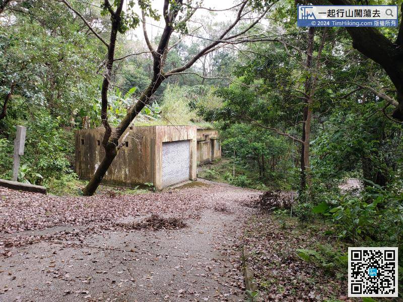
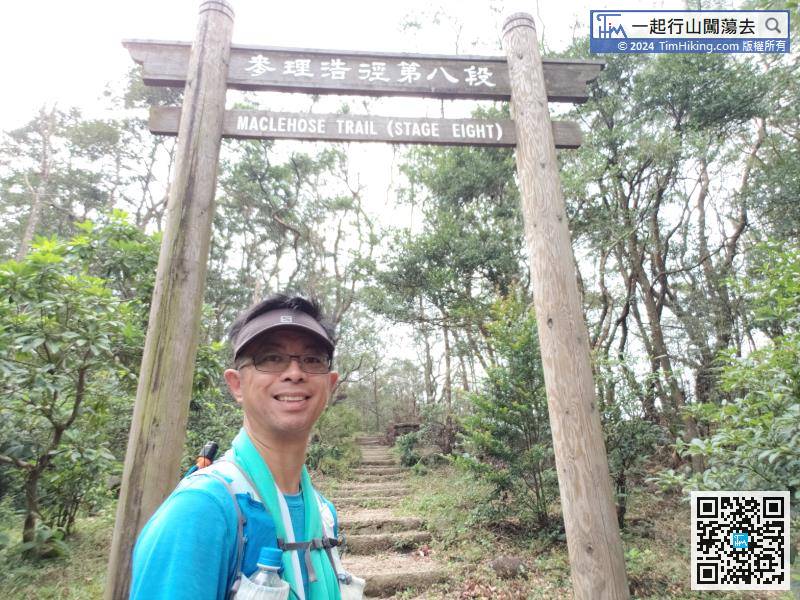
After the break, continue to set off. Next to the Lead Mine Pass pavilion, there are imposing and straight steps, which is the entrance of the MacLehose Trail (Section 8).
70︰and reach the top of Tai Mo Shan.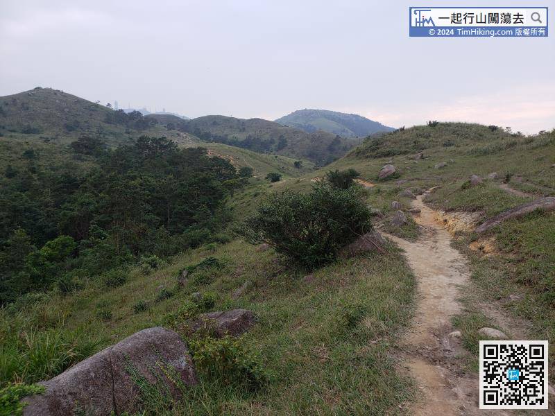
When coming to a relatively flat section of the mountain trail, the small hill on the left is Yin Ngam Teng.
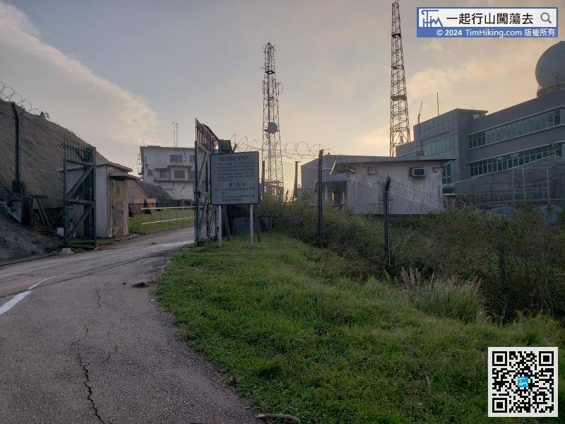
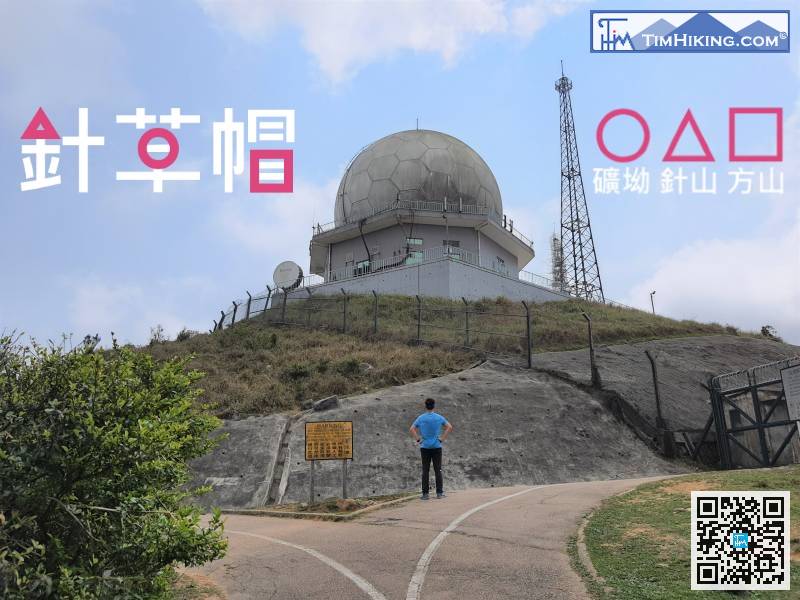
On the right of the top of the mountain is the restricted area of the observatory,


