


 Recommend YouTube


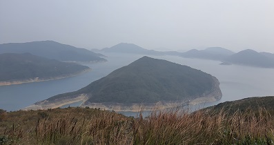
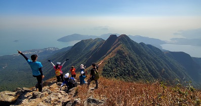
| View : |  | ||
| Difficulty : |  | ||
| Path : | |||
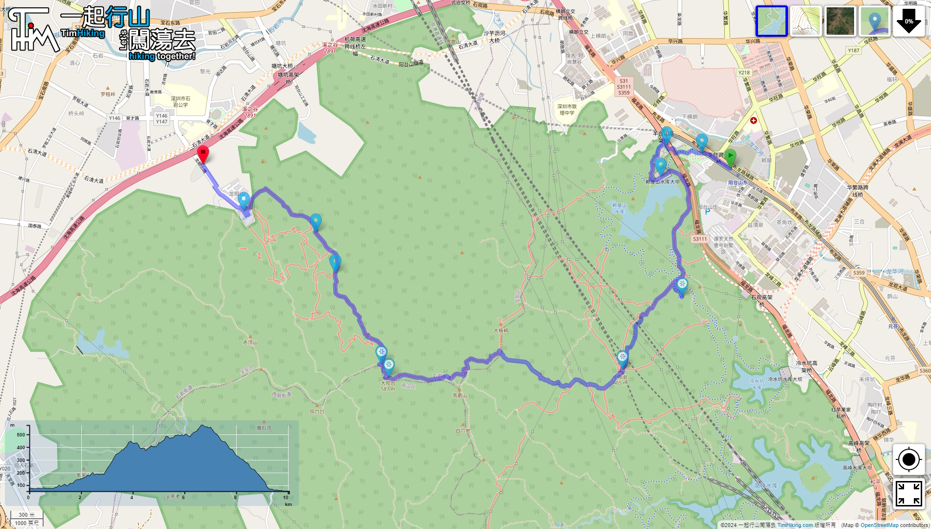
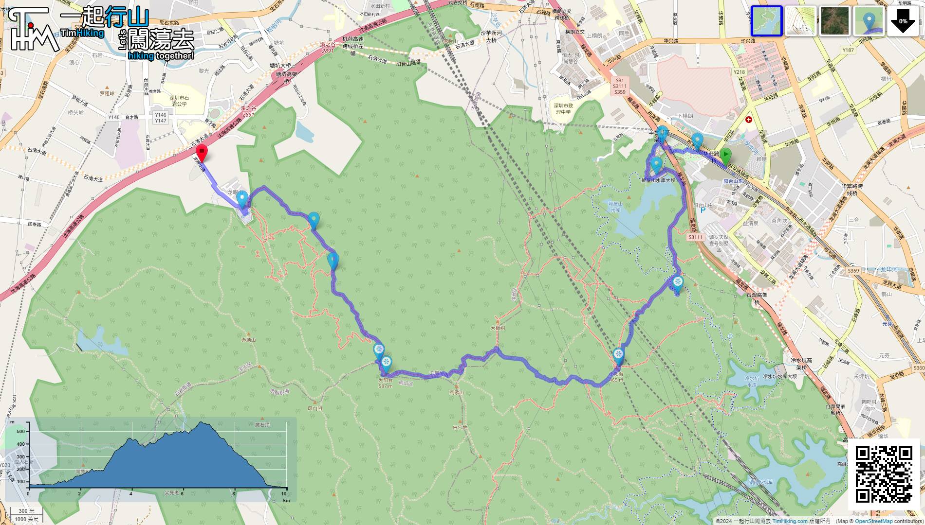
| Length : | 10.1km | ||
| Time : | 5hours | ||
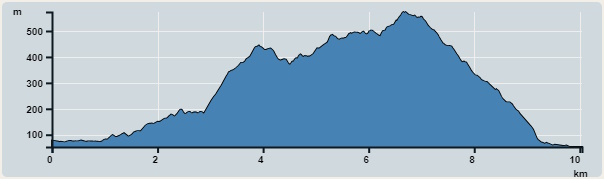 | |
| Ascent : 730m | Descent : 760m |
| Max : 573m | Min : 53m |
| (The accuracy of elevation is +/-30m) | |


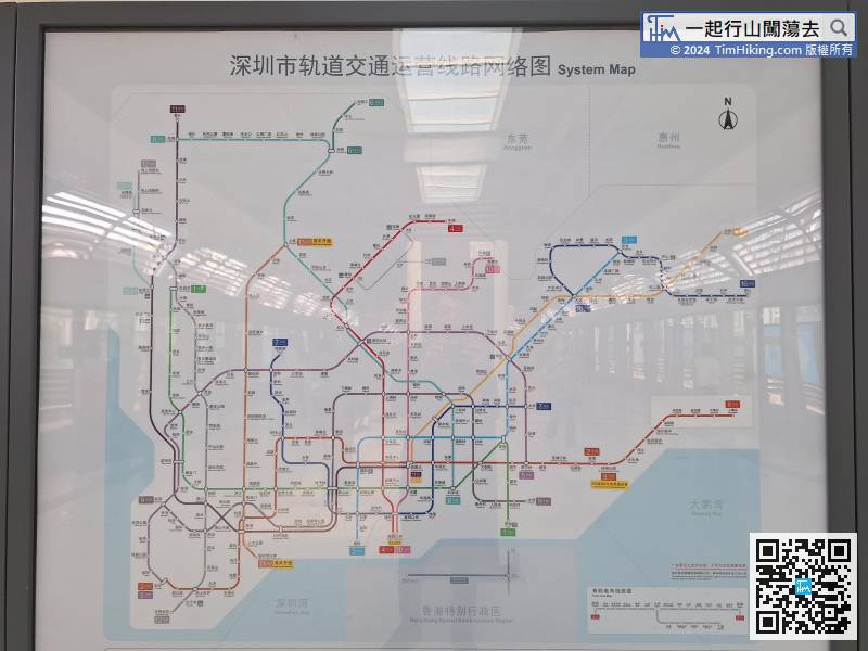
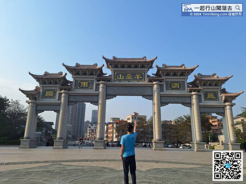
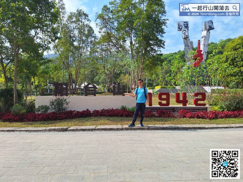
The starting point is very convenient. You can already get there by taking the metro.
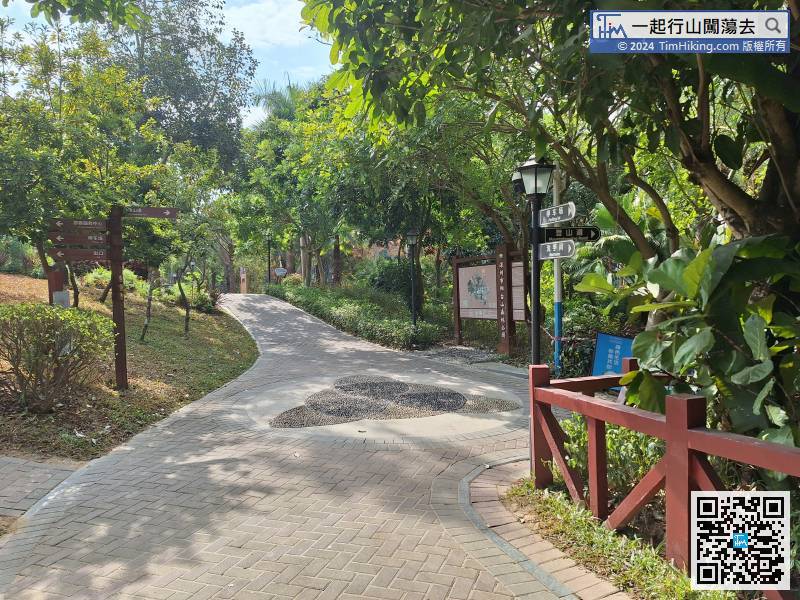
When you come to the fork in the road,
Since there is a flat road and you are not going up stairs, why bother to go on a rugged wild road?
After taking photos, turn back the same way
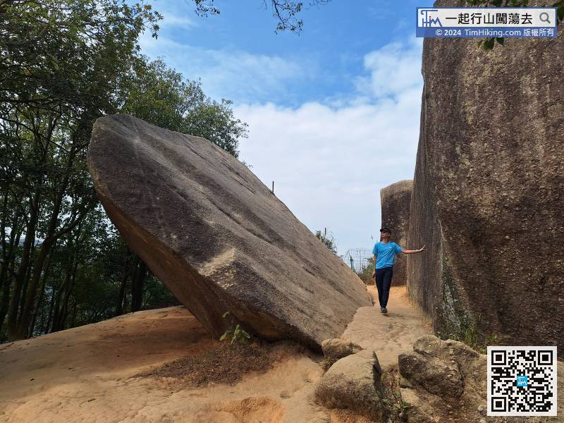
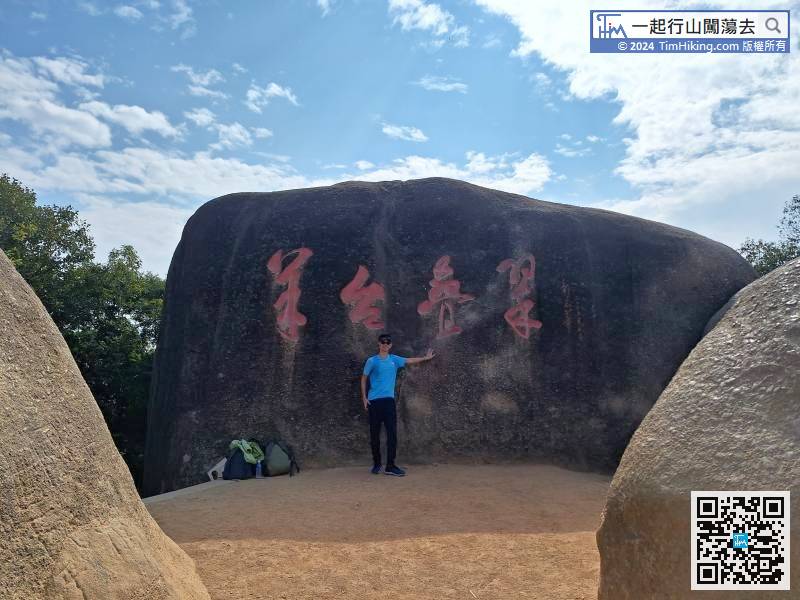
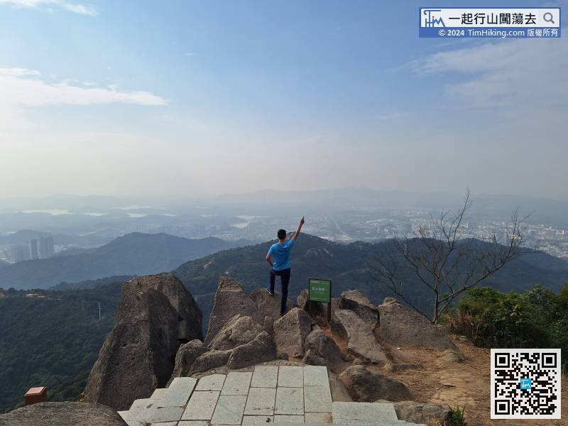
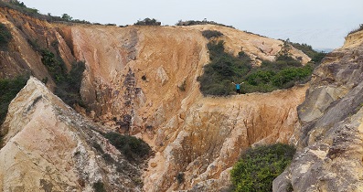
The main landscape of Small Yangtai Mountain is a group of large stone formations,
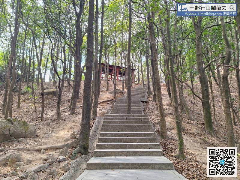
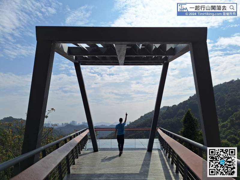
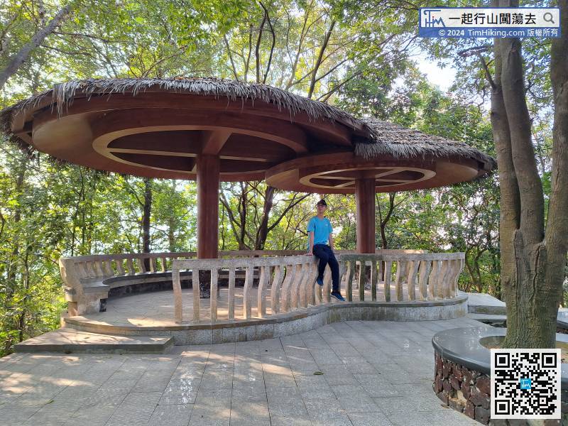
Unconsciously, after turning a few turns, we came to another point on the map called Chun Bamboo Pavilion,

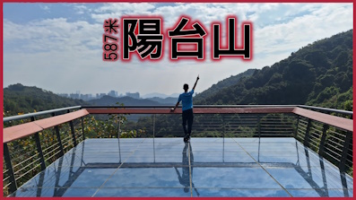
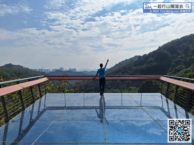
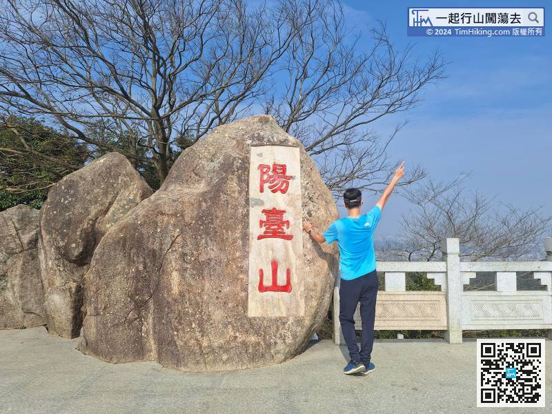
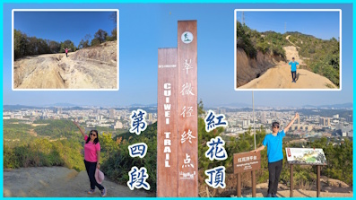
On this side of the Peak platform, there is a large stone with Yangtai Mountain engraved on it.
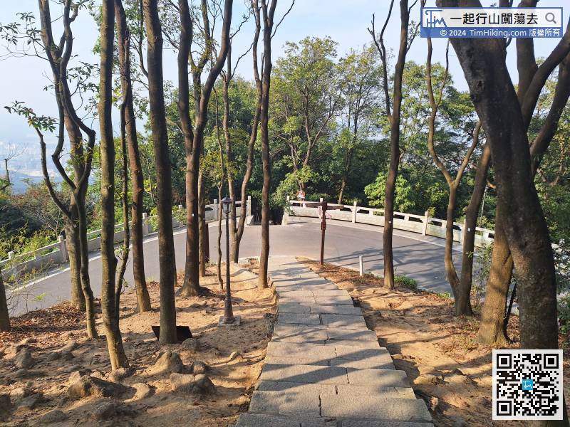
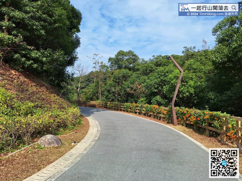
You need to cross the road on the way down the mountain. The road is quite long.
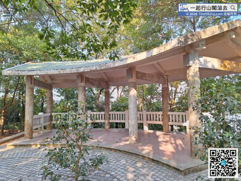
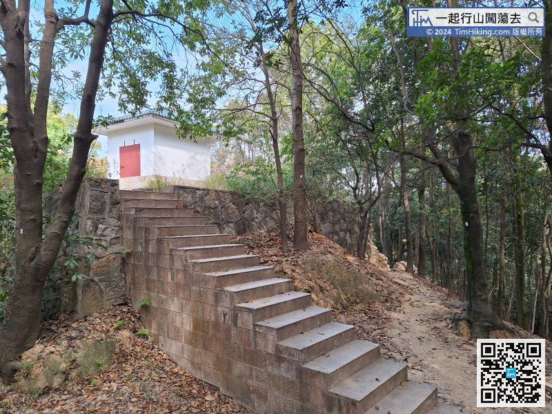
There are many large and unique pavilions along the way. Some old stone pavilions seem to be about to collapse,


