


 Recommend YouTube


| View : |  | ||
| Difficulty : |  | ||
| Path : | |||
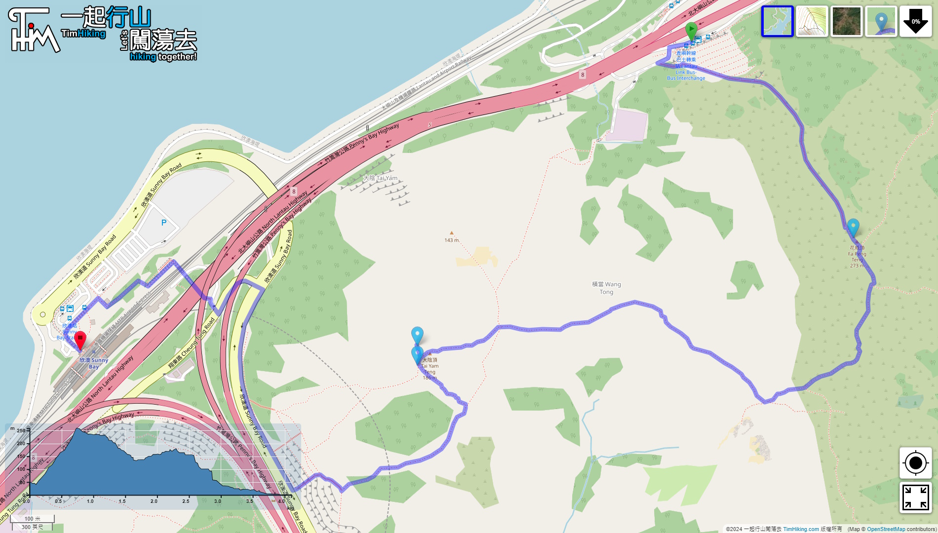
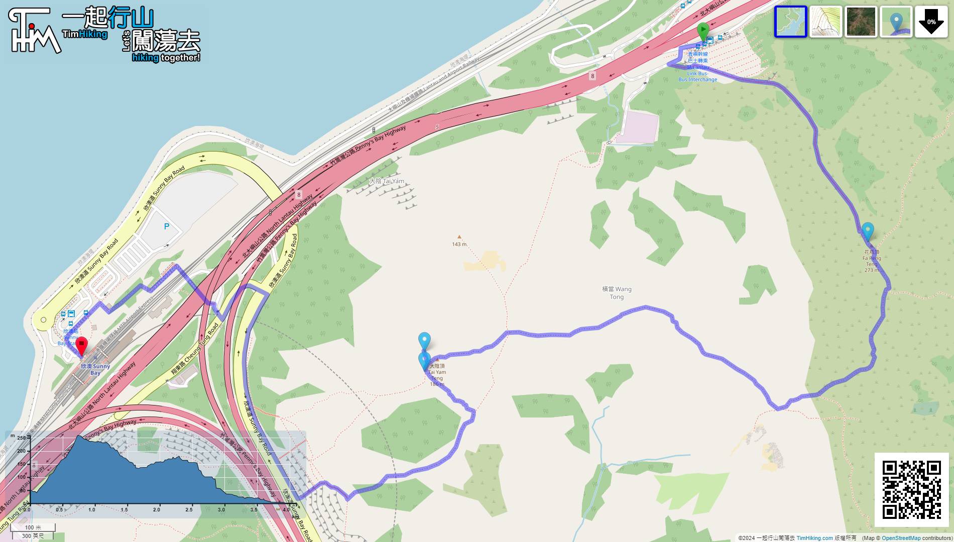
| Length : | 4.2km | ||
| Time : | 2hours | ||
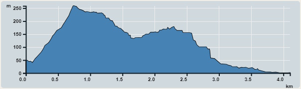 | |
| Ascent : 280m | Descent : 330m |
| Max : 259m | Min : 0m |
| (The accuracy of elevation is +/-30m) | |


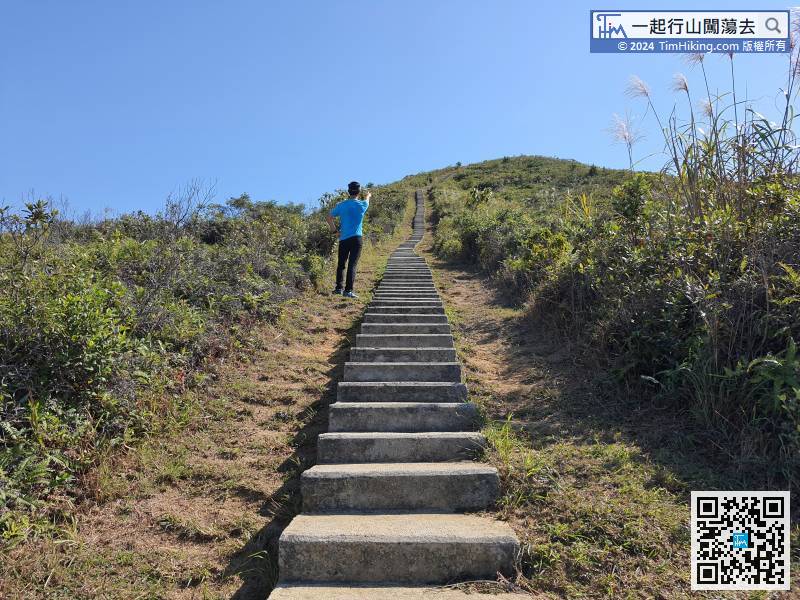
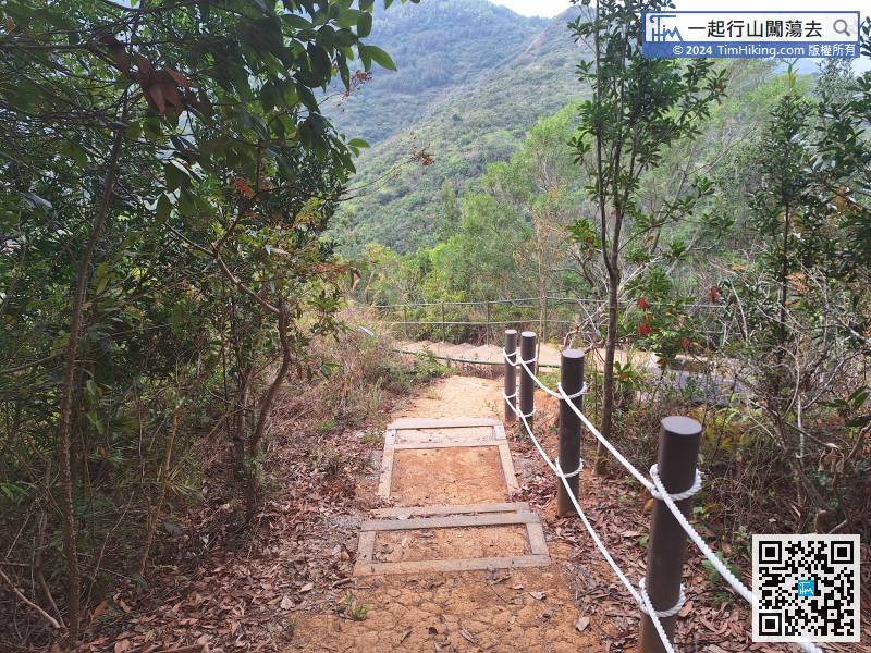
 6︰The catchwater steps are one after the other without disconnecting.
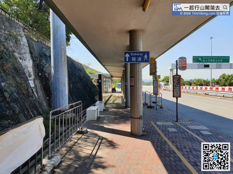
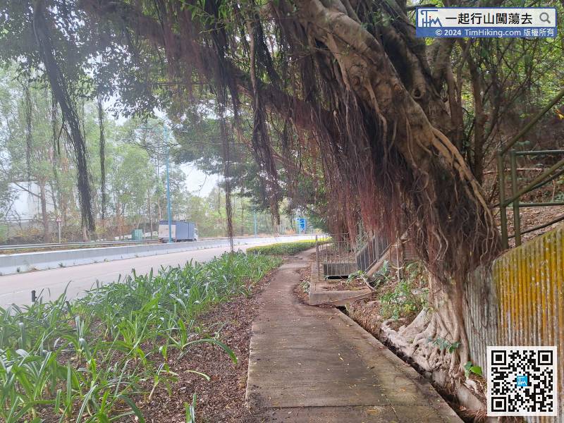
After getting off the bus, go to the direction of the tunnel, but do not need to pass the tunnel.
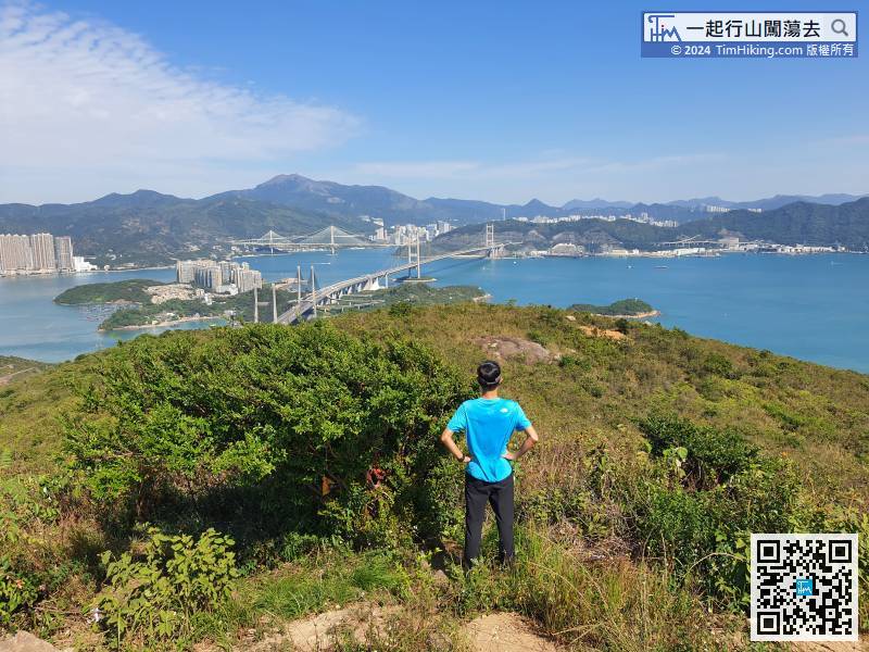
22︰then will arrive at Fa Peng Teng. There is a Trigonometrical Station on the top of the mountain.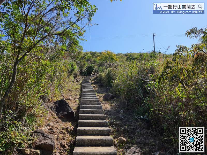 23︰At Fa Peng Teng, can overlook Kap Shui Mun Bridge, Tsing Ma Bridge and Ting Kau Bridge.
At Fa Peng Teng, can overlook Kap Shui Mun Bridge, Tsing Ma Bridge and Ting Kau Bridge.
35︰Come to the second bifurcation,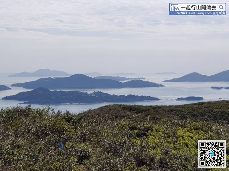
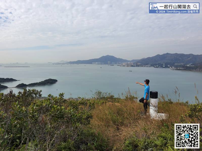
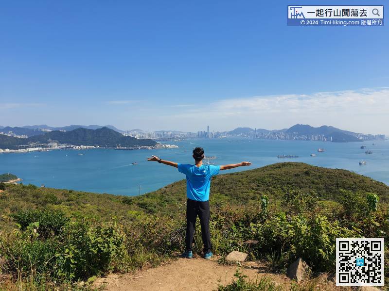
In the distance, can see a small island connected by a bridge, namely Peng Chau and Tai Lei Island, it is very easy to recognize.
41︰When coming to another bifurcation, keep to the right and go straight to the top of the hill ahead, but have to go back.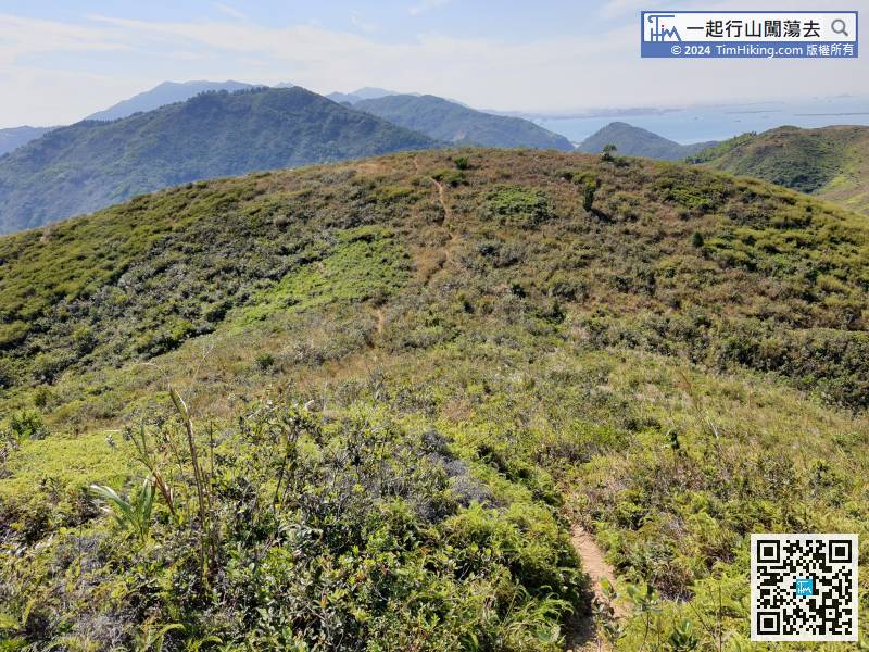
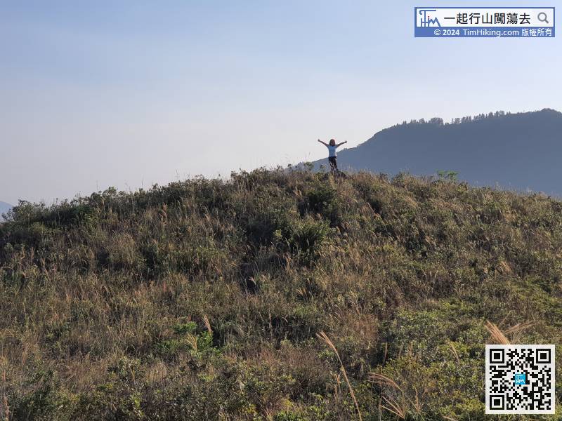
This section of the mountain trail will be a little narrower, but the road is still very clear.
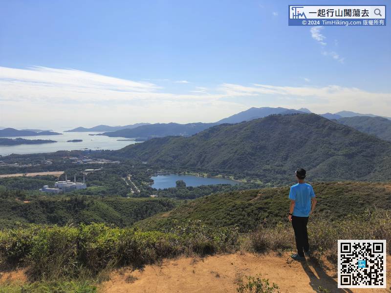
49︰When coming to another fork,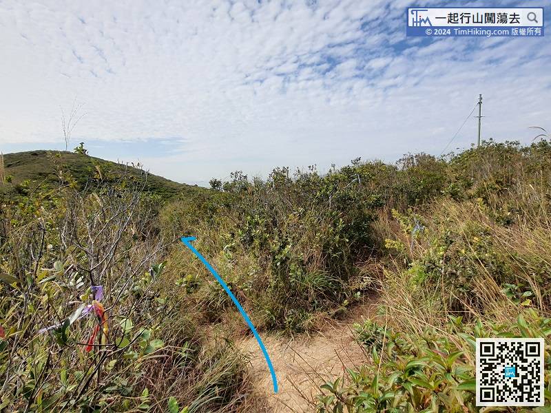 61︰You can see Inspiration Lake along the way.
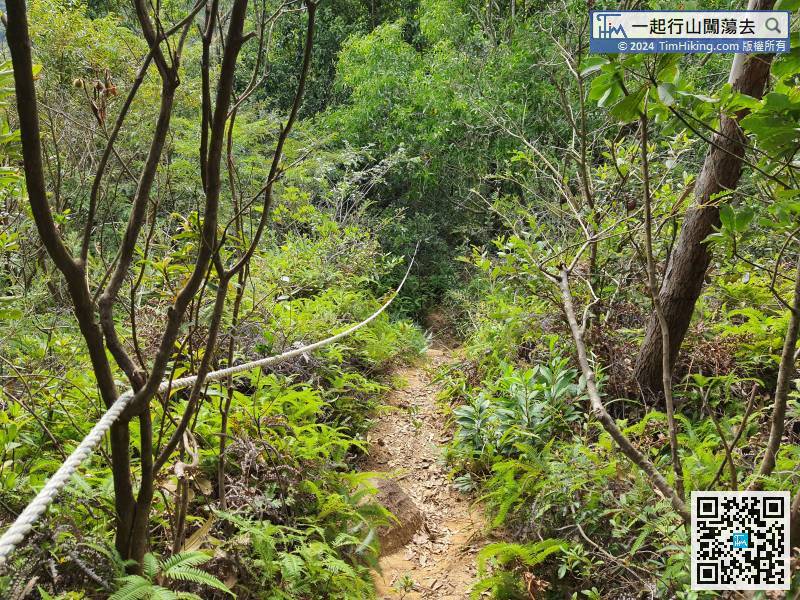


