


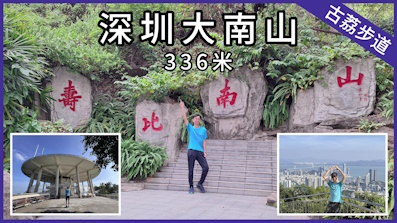
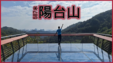
 Recommend YouTube


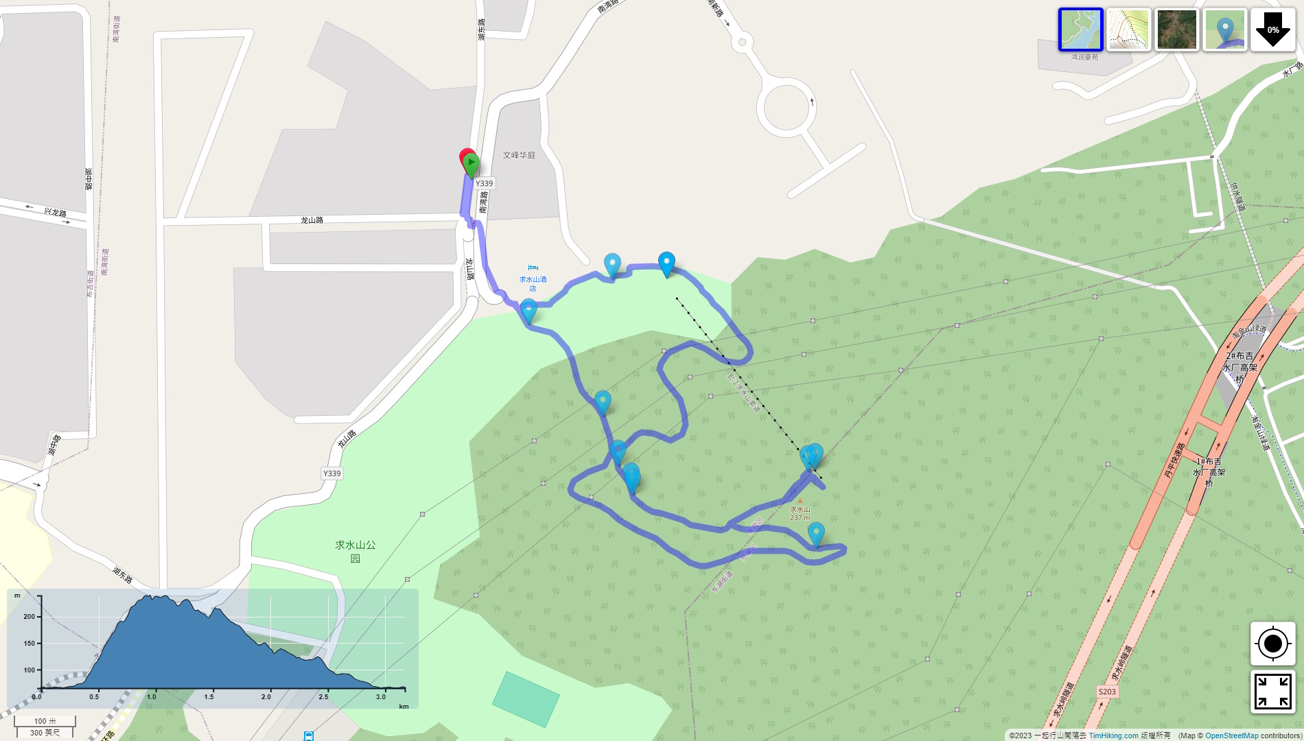


| View : |  | ||
| Difficulty : |  | ||
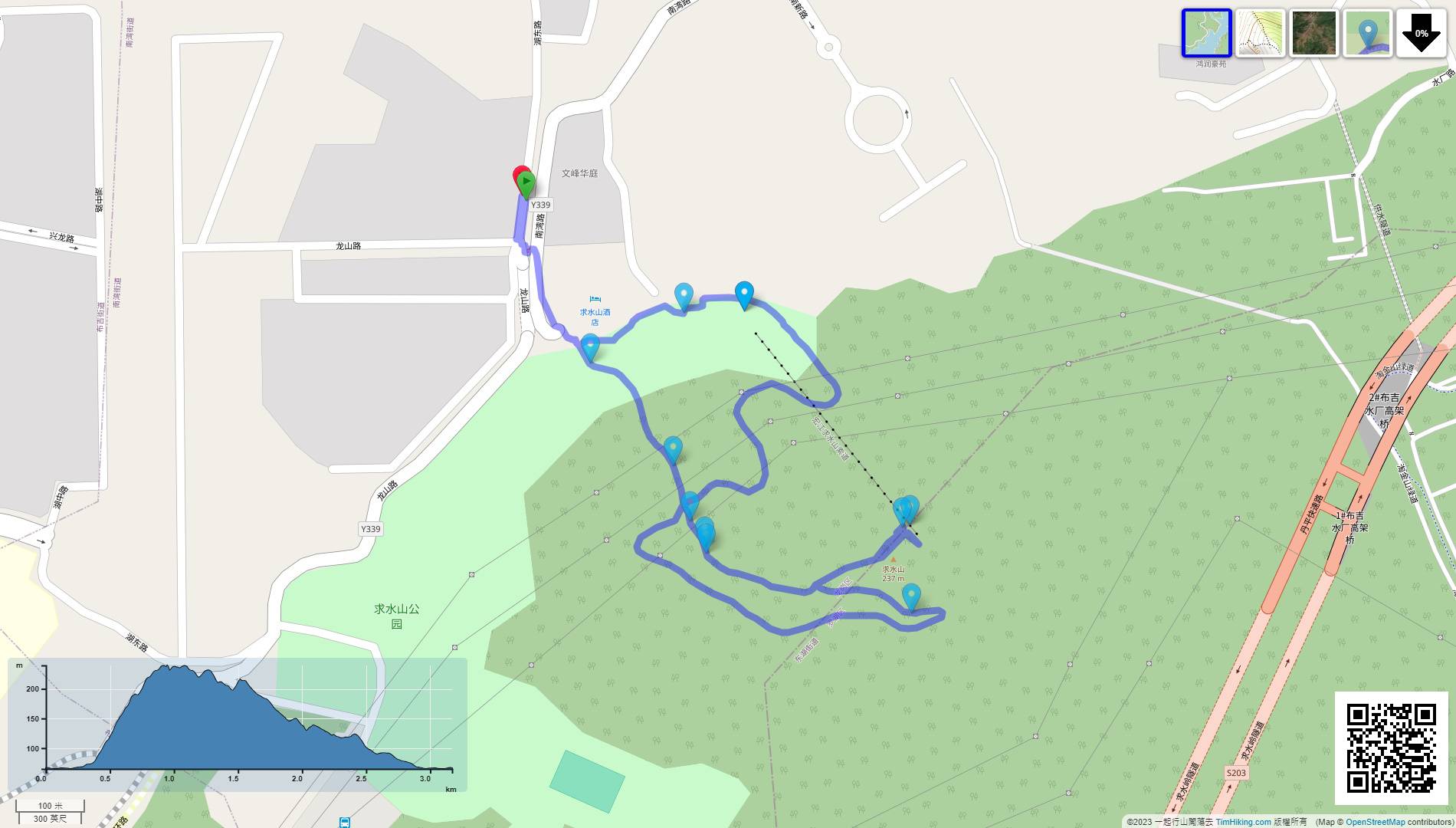
| Path : | |||
| Length : | 3.2km | ||
| Time : | 2hours | ||
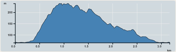 | |
| Ascent : 260m | Descent : 260m |
| Max : 240m | Min : 65m |
| (The accuracy of elevation is +/-30m) | |

 self-service vending machine
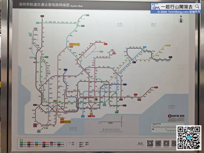
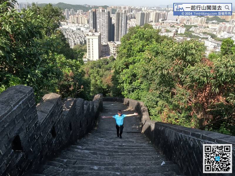
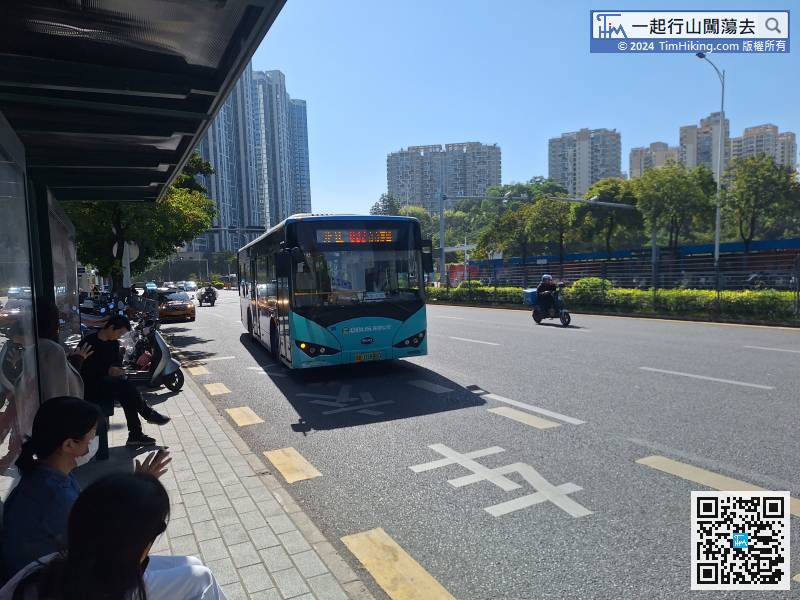
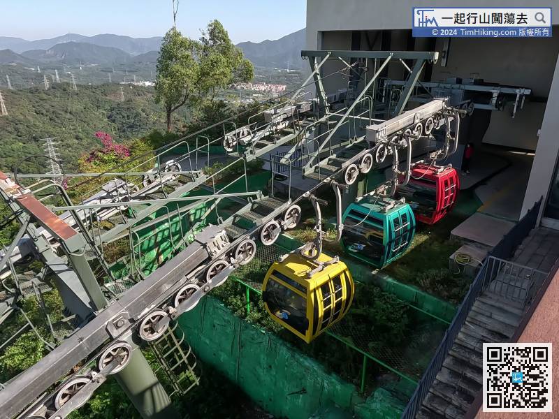
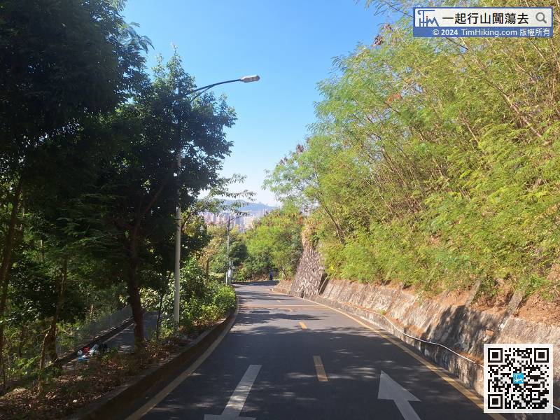
The transportation is very convenient, you can get there by taking the subway.
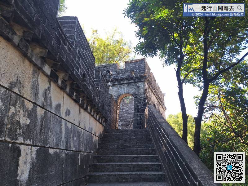
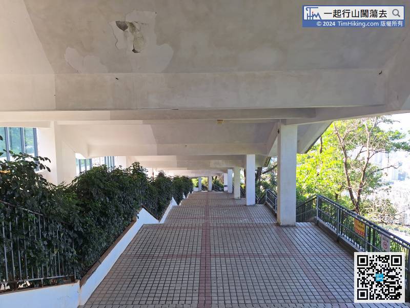
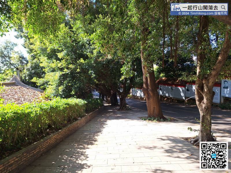
To return to the north entrance, keep on the right side of the mountain.
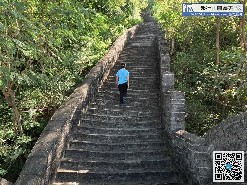
Continue going down, you can take any road, and in the end, you will reach the same destination by different paths.


