


 Recommend YouTube


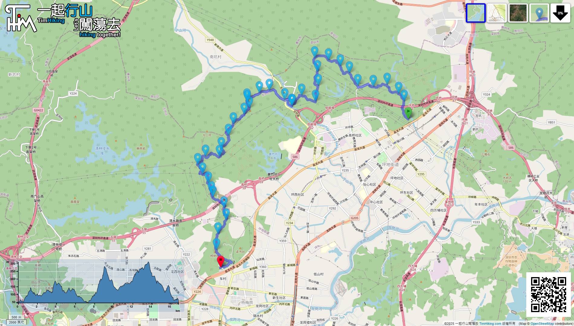
| View : |  | ||
| Difficulty : |  | ||
| Path : | |||
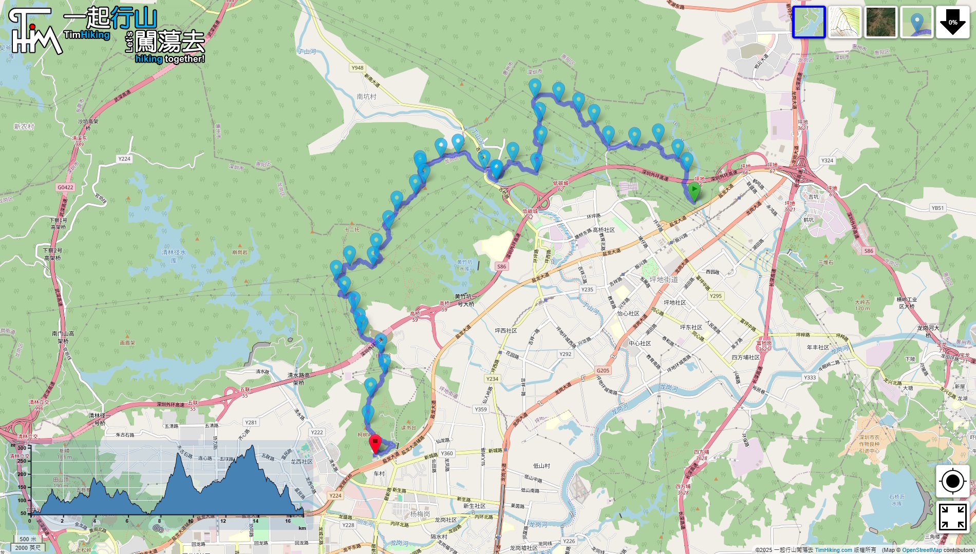
| Length : | 16.8km | ||
| Time : | 8½hours | ||
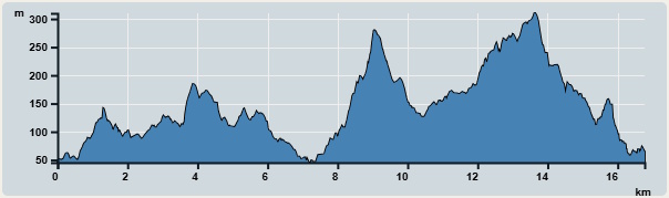 | |
| Ascent : 1,140m | Descent : 1,058m |
| Max : 310m | Min : 45m |
| (The accuracy of elevation is +/-30m) | |


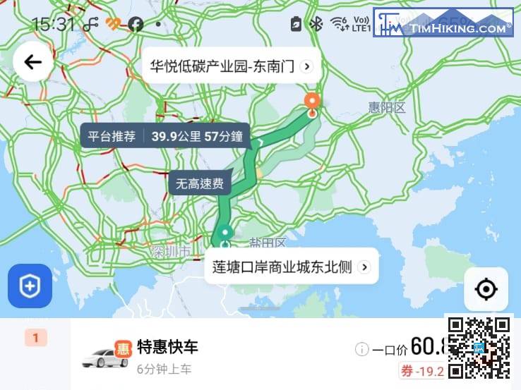
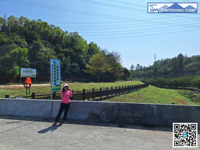
The starting point is in Tunzi North River, near the Shenzhen Outer Ring Expressway Bridge. First, take a taxi to 'Huayue Low Carbon Industrial Park-Southeast Gate(華悅低碳產業園-東南門)', and then walk for another 20 minutes to reach the starting point.
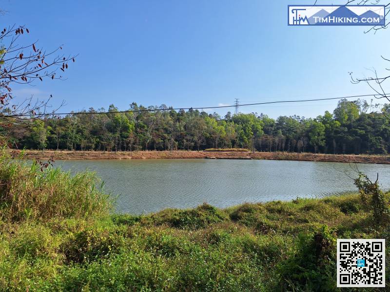
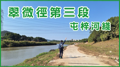
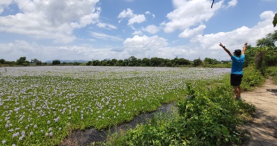
Okay, let’s go! The river next to us is the Tunzi River. The upper reaches of the river are quite wide, a bit like Nam Sang Wai in Hong Kong.
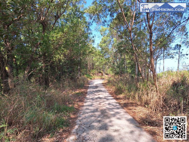
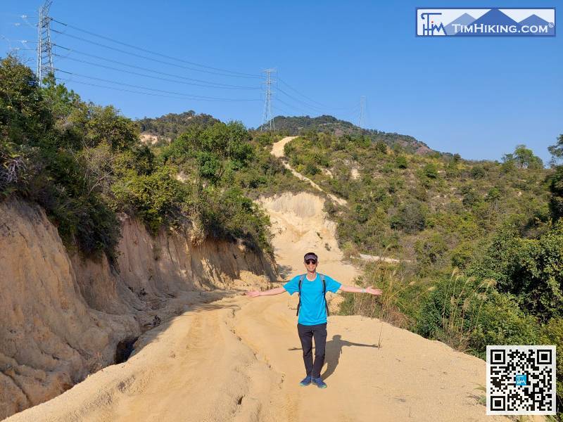
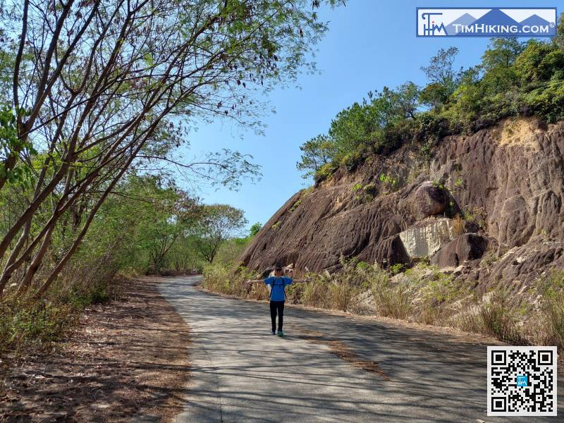
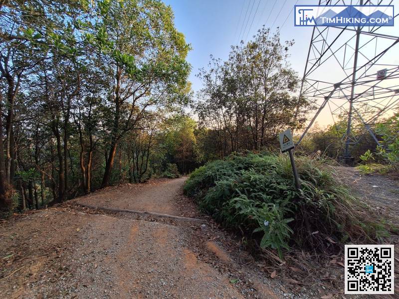
The first section is a concrete road.
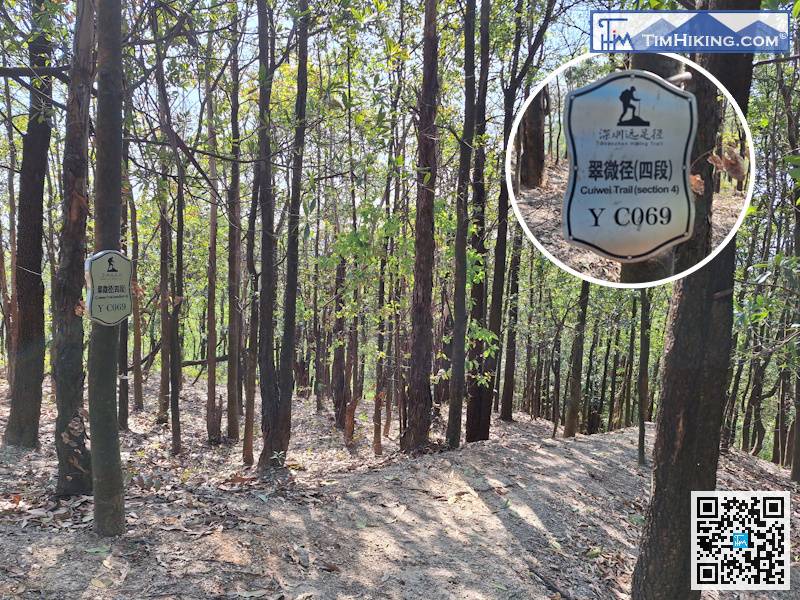
When you reach the top, you will see the distance post YC069 hanging on the tree trunk.
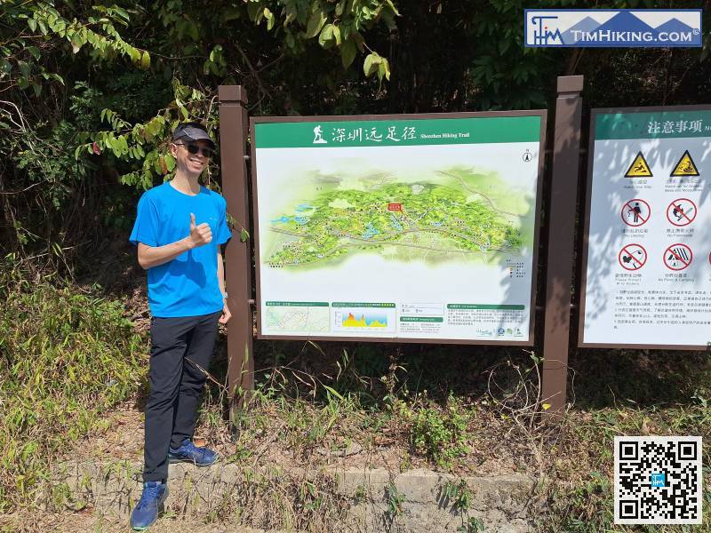
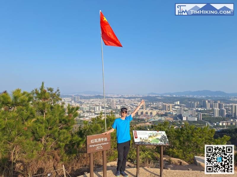
At Jiqiao East Entrance, there is a large bulletin board of Shenzhen hiking trails,
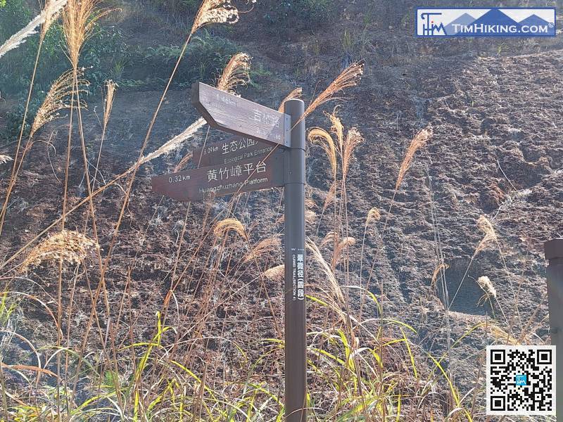
Next, head to Huangzhuzhang Platform, which is only 320 meters away.
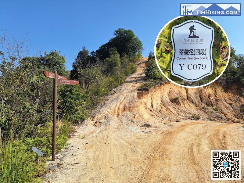
When you reach the fork next to distance post YC079,
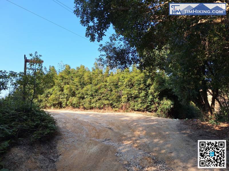
When you come to the next unobvious fork in the road, keep to the right
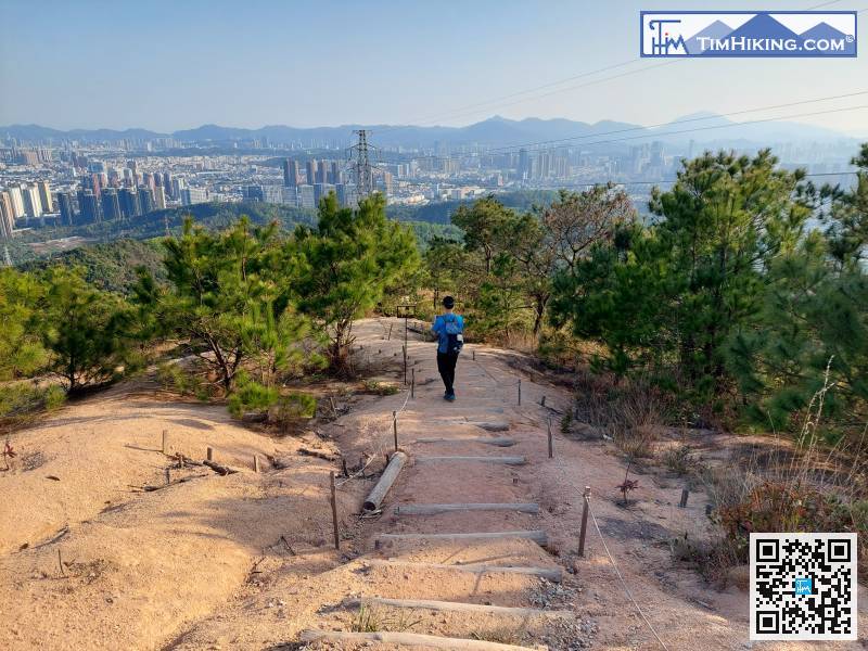
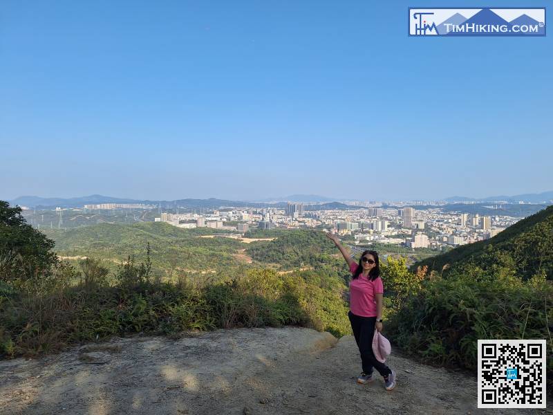
From here, we headed down the mountain toward the Ecological Park Entrance.
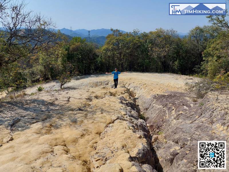
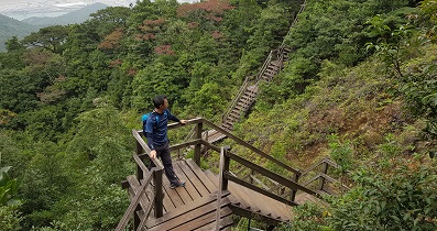
Going down the mountain was not difficult.


