


 Recommend YouTube


| View : |  | ||
| Difficulty : |  | ||
| Path : | |||
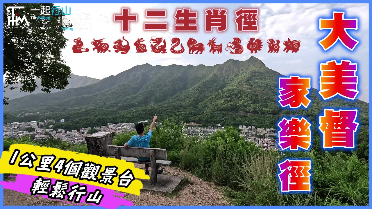
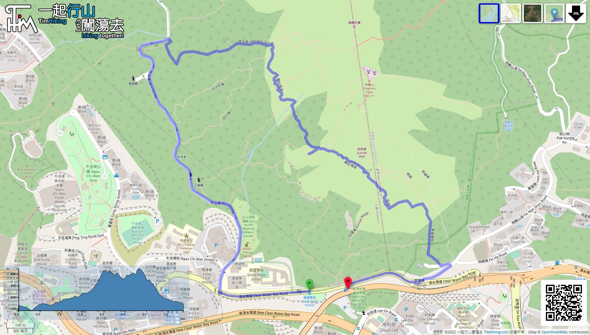
| Length : | 3.4km | ||
| Time : | 4hours | ||
 | |
| Ascent : 559m | Descent : 544m |
| Max : 440m | Min : 86m |
| (The accuracy of elevation is +/-30m) | |


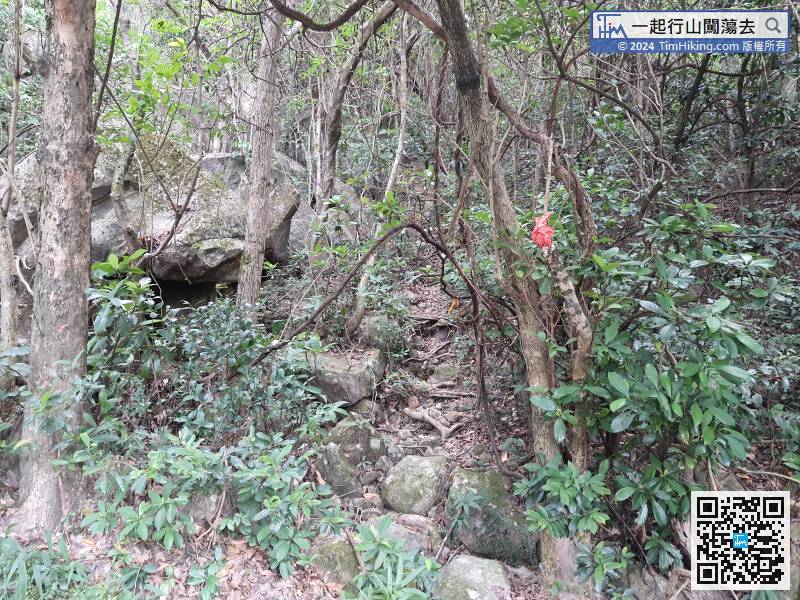
 10︰it is opposite the entrance of Chu Yan Ridge.
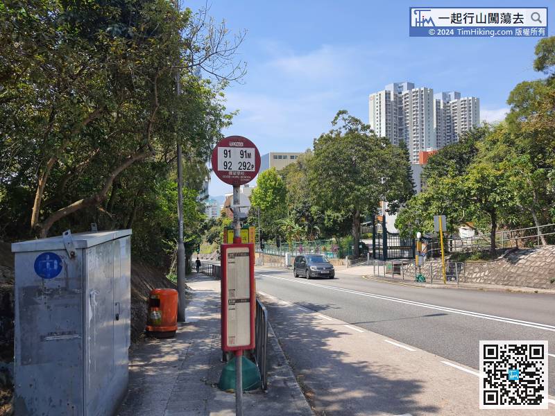
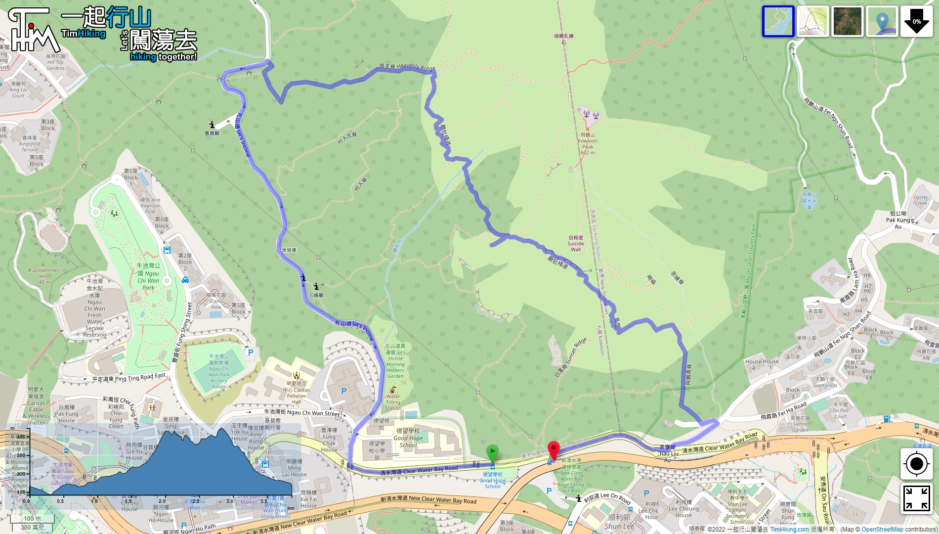
First, take a bus or minibus to Good Hope School on the Kowloon Peak mountainside.
 28︰so keep going up until you find a pile of giant rocks.
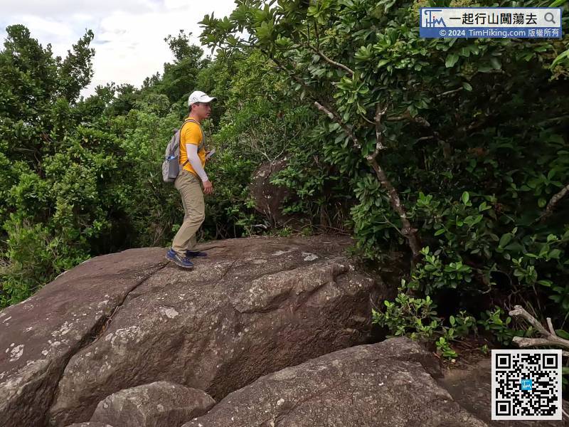
Look for another road on the left side of the big platform.
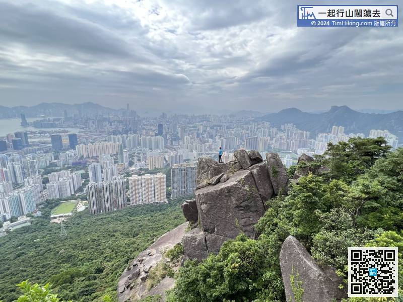
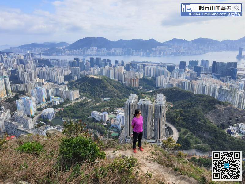
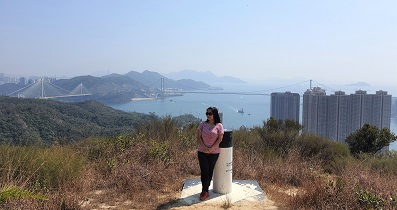
46︰After reaching the top, keep to the right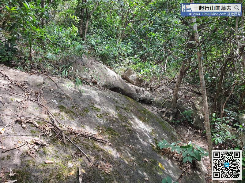 56︰It is the top of Big Drum Rock,
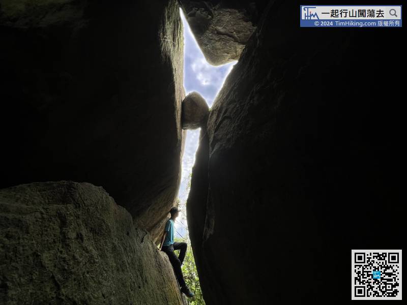
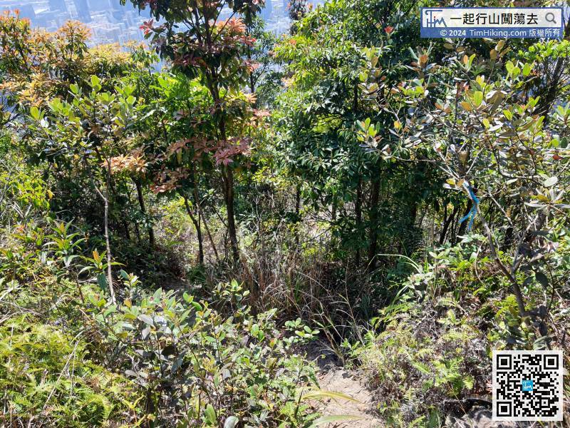 77︰don't climb straight down the mountain along Ngo To Hang, it is extremely dangerous.
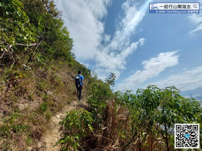
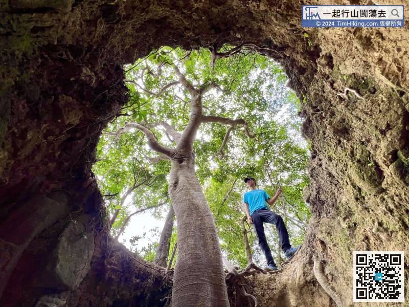
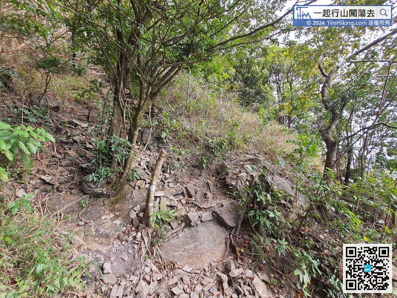
The next plank trails are more difficult to walk, and you must have a certain experience.
78︰Pay attention to the left-hand side, you will find a dirt trail with a rope, that is the road that leaves Ngo To Hang and returns to the Ngo To Trail.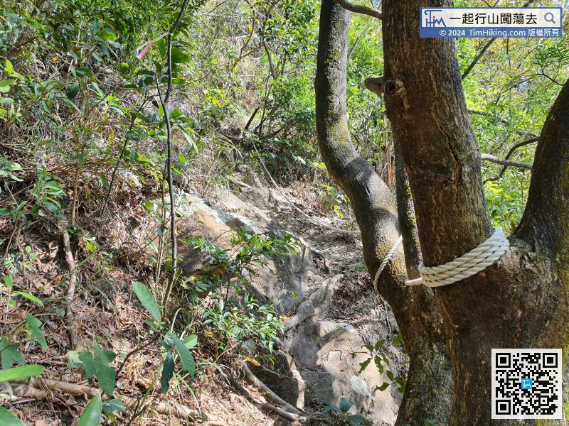
Pay attention to the left-hand side, you will find a dirt trail with a rope, that is the road that leaves Ngo To Hang and returns to the Ngo To Trail.
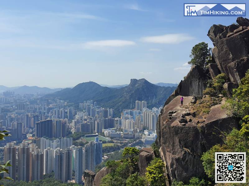
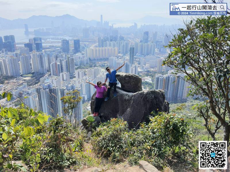
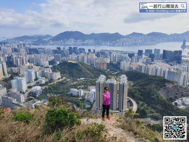
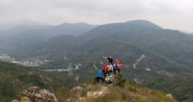
90︰Eagle Rock looks like an eagle, it's a matter of opinion, use your imagination!
Eagle Rock looks like an eagle, it's a matter of opinion, use your imagination!
The direction of falling down the mountain is on the right-hand side.


