


 Recommend YouTube


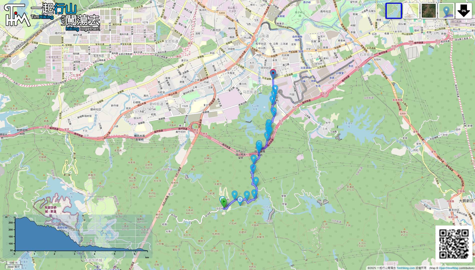
| View : |  | ||
| Difficulty : |  | ||
| Path : | |||
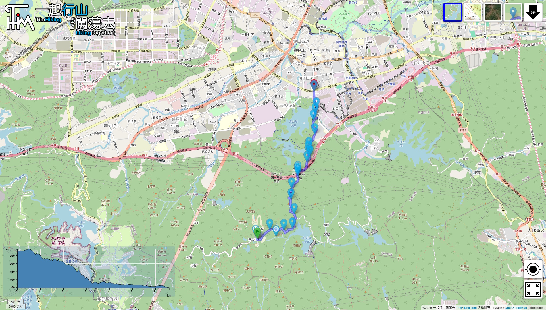
| Length : | 6.7km | ||
| Time : | 2hours | ||
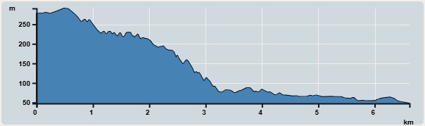 | |
| Ascent : 45m | Descent : 269m |
| Max : 297m | Min : 59m |
| (The accuracy of elevation is +/-30m) | |


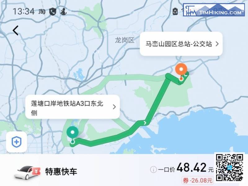
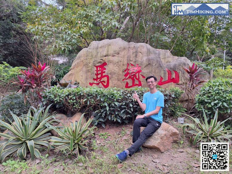
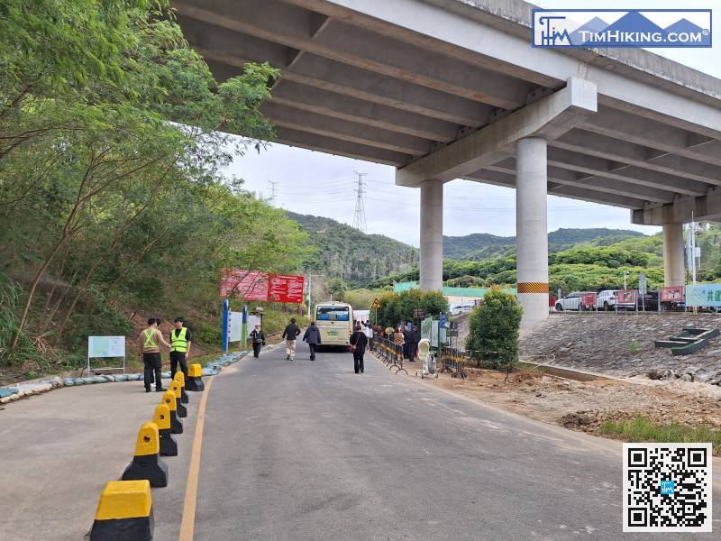
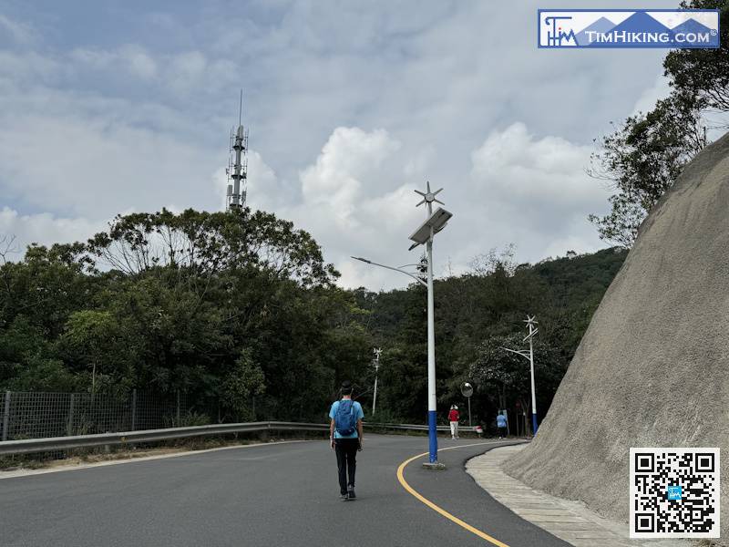
First, it will be faster to take a taxi from Liantang Port to 'Maluan Mountain Park Terminus(馬巒山園區總站)'.
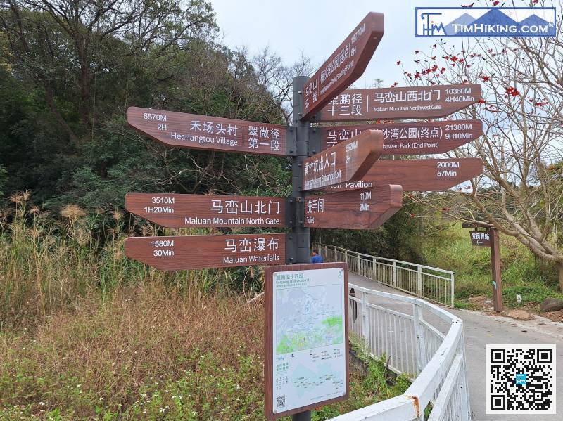
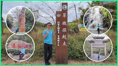
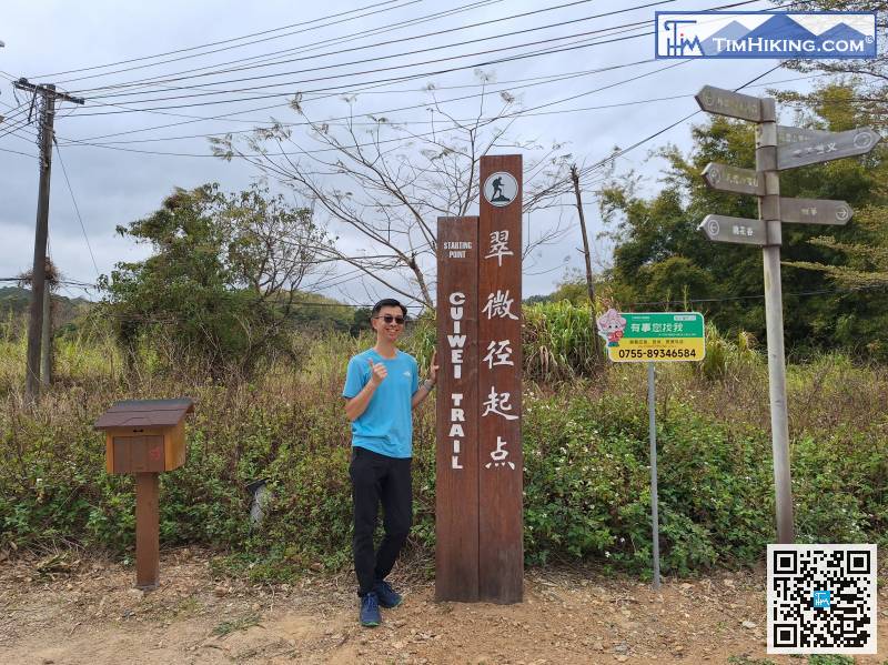
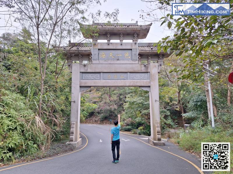
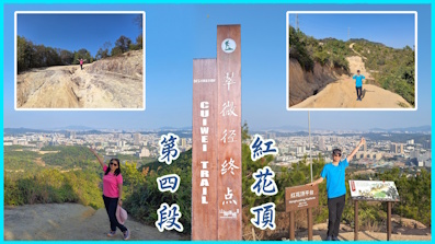
The road sign clearly indicates that Cuiwei Trail Section 1 is 6570 meters away from the endpoint of Hechangtou Village and takes 2 hours.
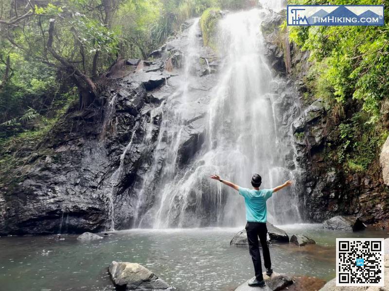
Before you know it, you're back to the fork in the road leading to Maluan Waterfalls.
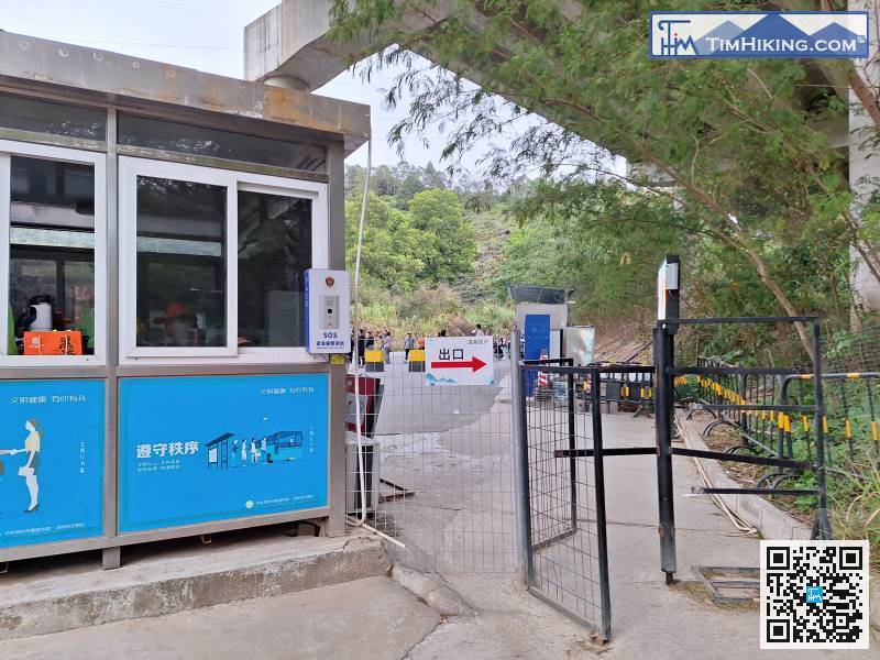
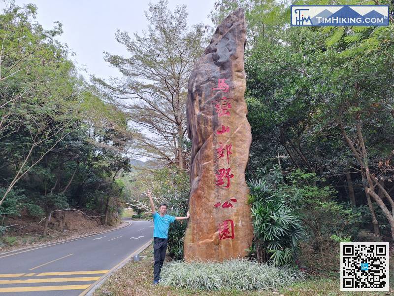
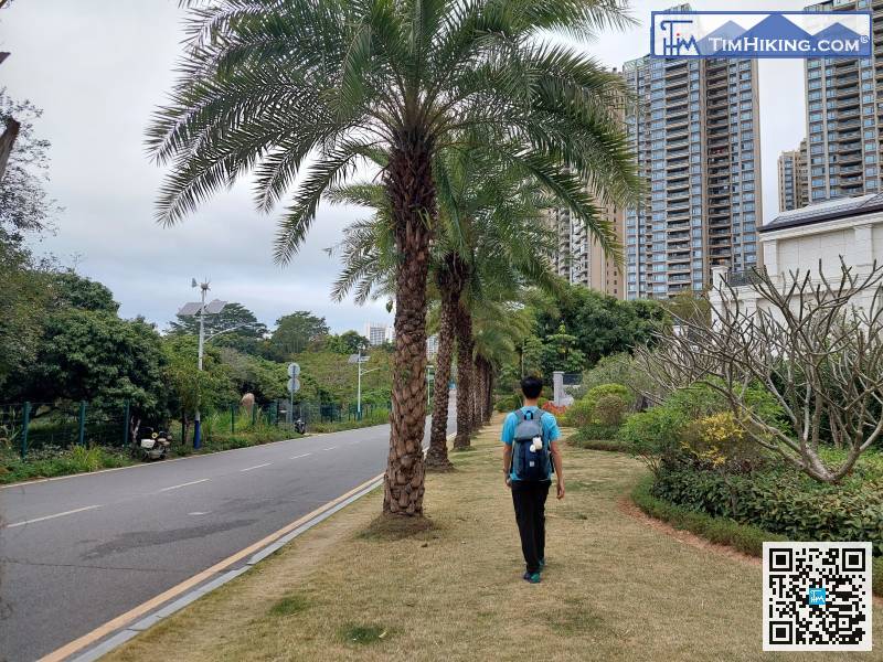
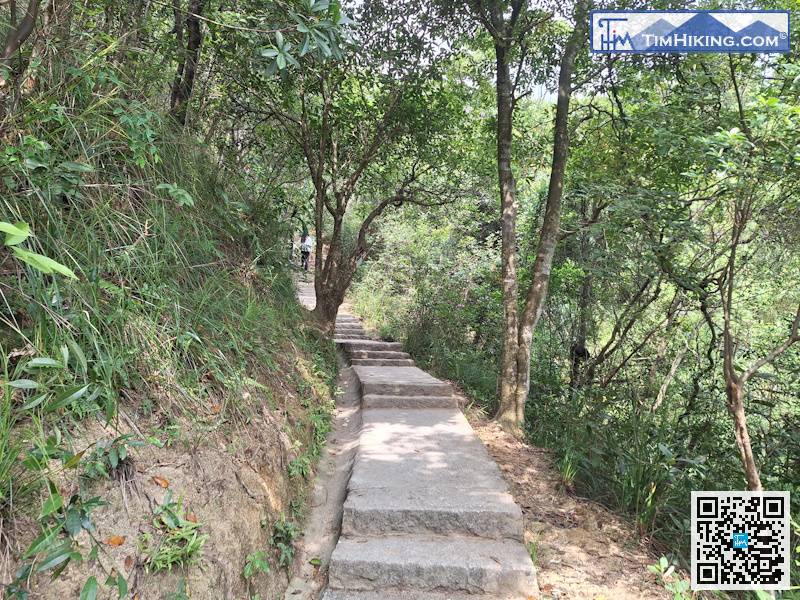
Next, leave the country park
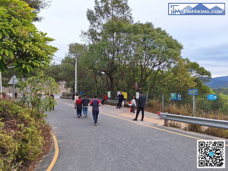
Walk to the end of the reservoir dam,


