


 Recommend YouTube


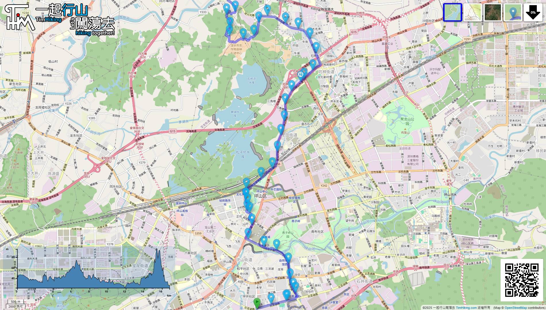
| View : |  | ||
| Difficulty : |  | ||
| Path : | |||
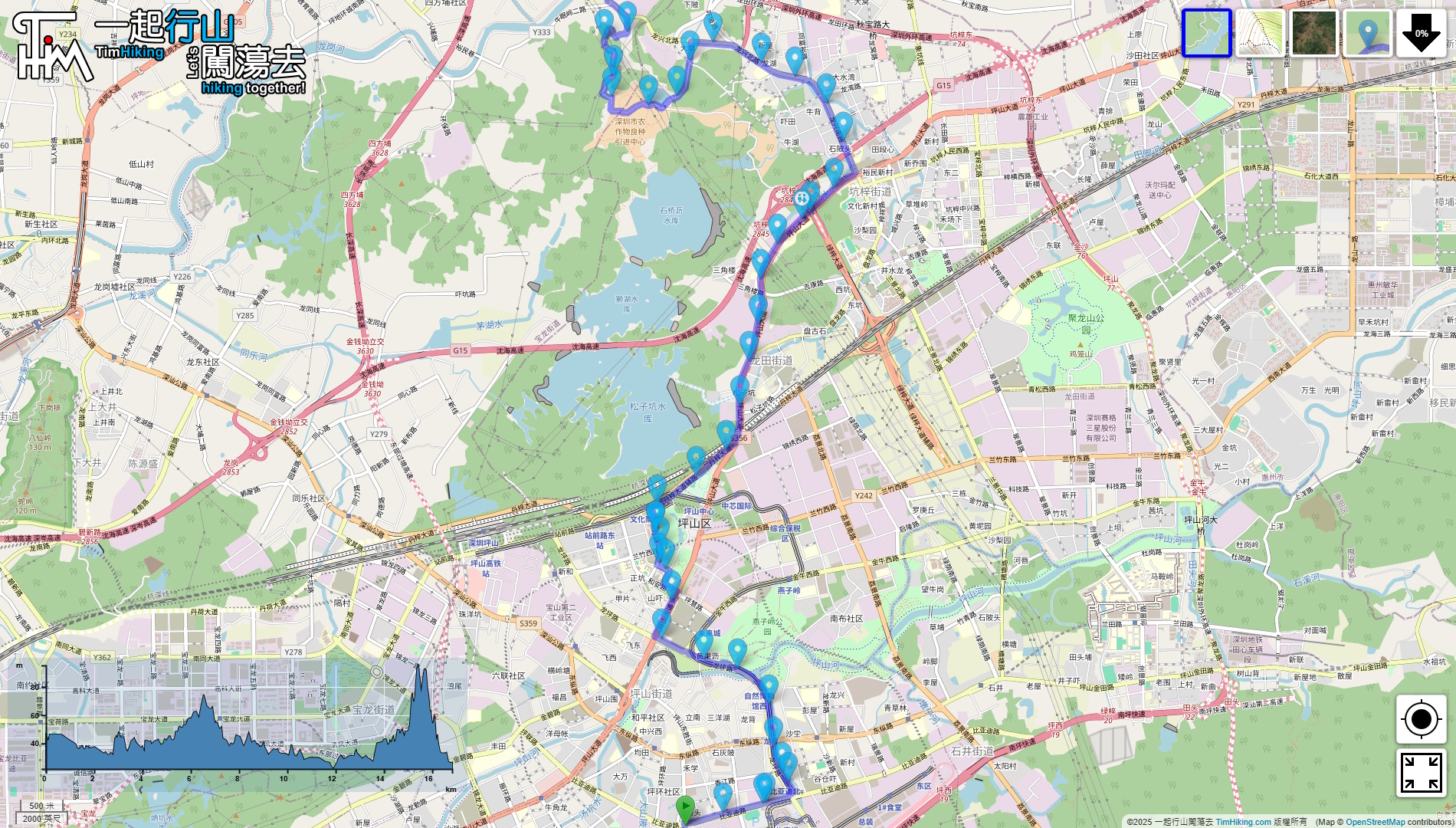
| Length : | 16.9km | ||
| Time : | 6hours | ||
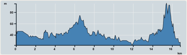 | |
| Ascent : 120m | Descent : 134m |
| Max : 95m | Min : 22m |
| (The accuracy of elevation is +/-30m) | |


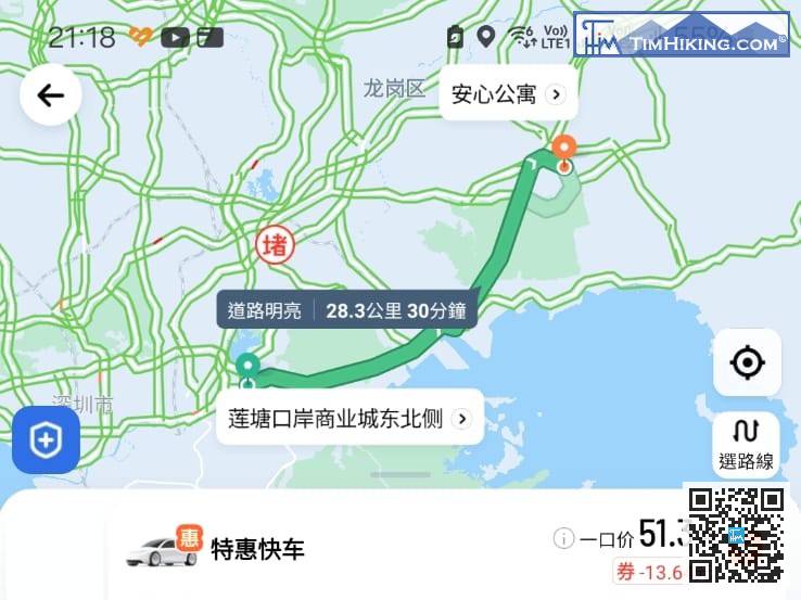
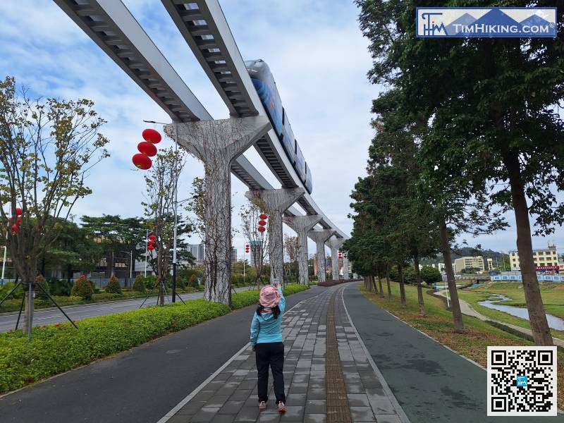
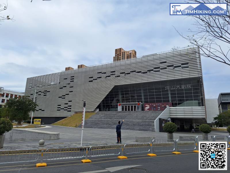
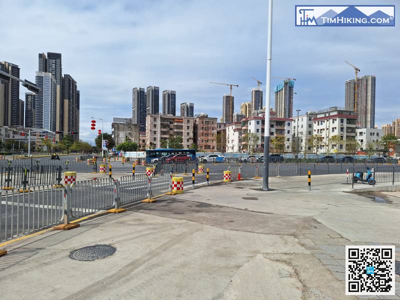
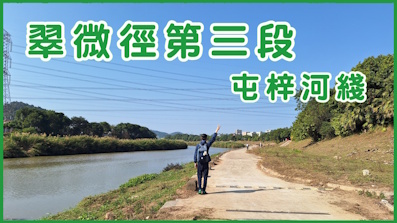
Connect to the end of Cuiwei Trail Section 1 and take a taxi directly to 'Anxin Apartment Pingshan(安心公寓 坪山)'.
When you come to another big intersection, you need to cross the intersection and turn right.
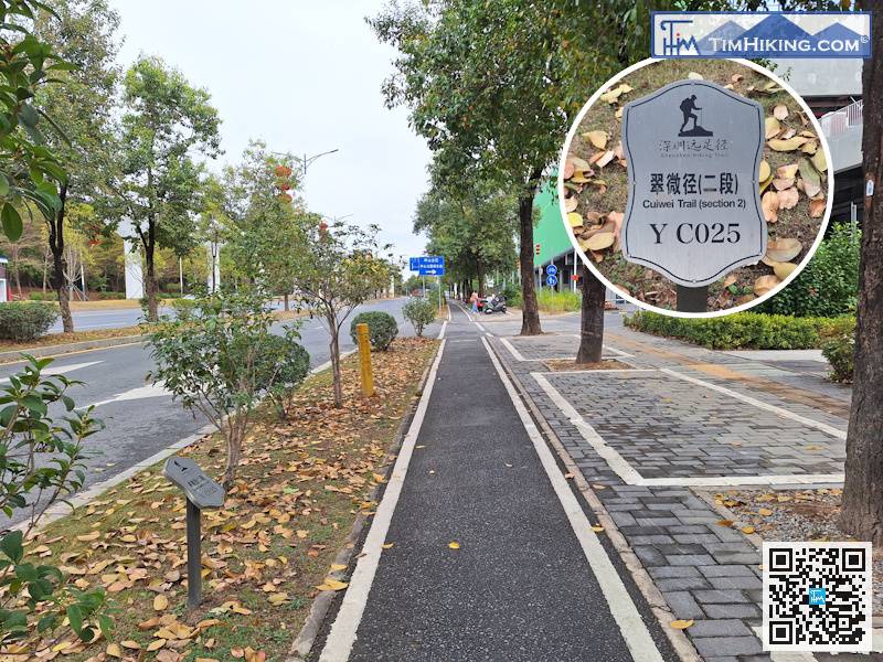
After a while, walked another 500 meters and placed distance post YC025 on the left.
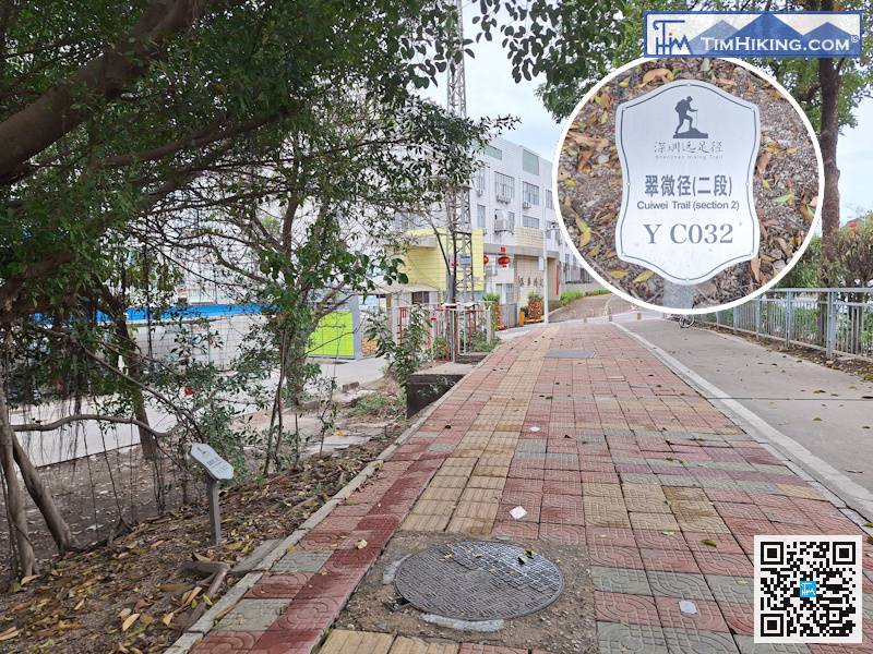
The distance post YC032 can be found on the left.
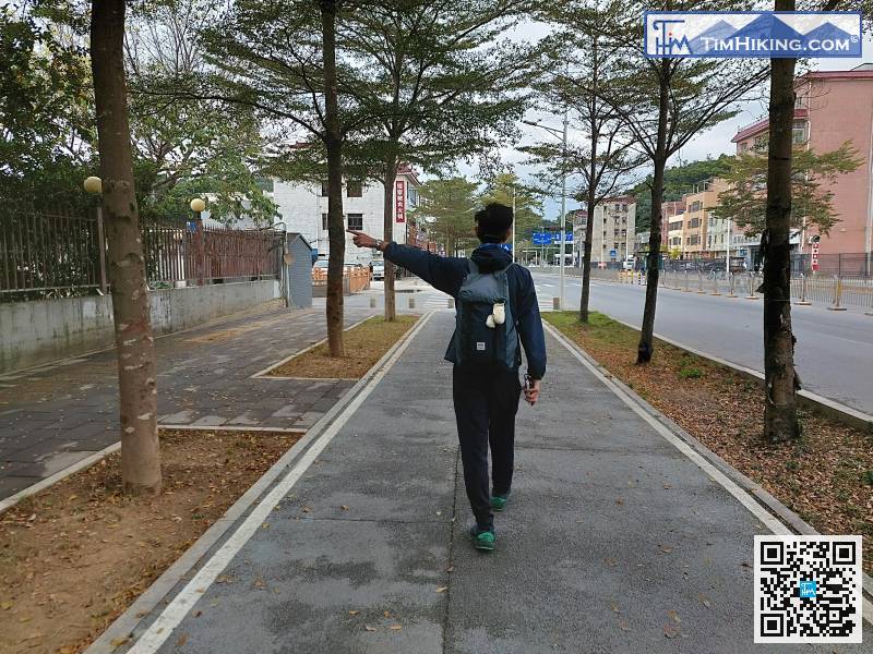
Pay attention to the navigation and turn left at the intersection.
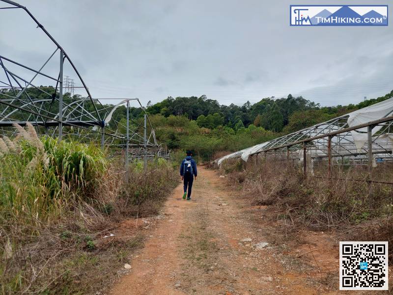
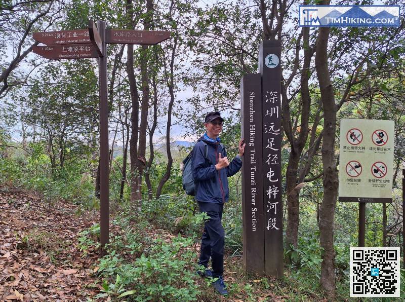
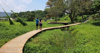
After finishing the good road, we entered the winding mountain path.
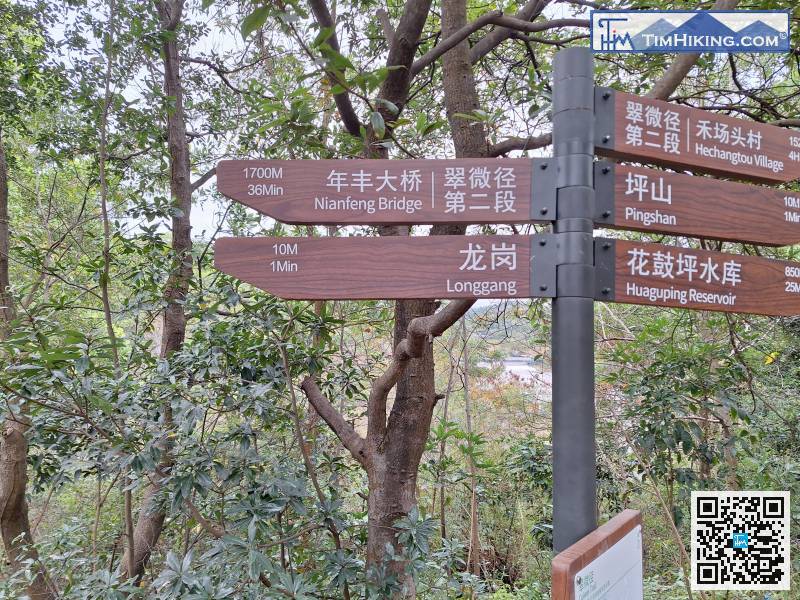
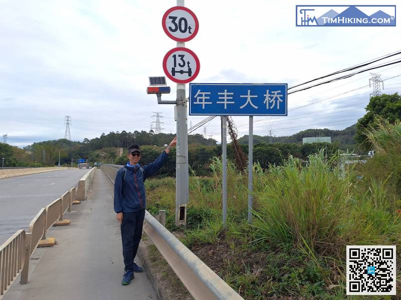
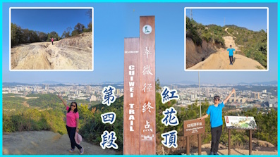
After understanding the history of the trail, follow the signs to the right and head to the endpoint, Nianfeng Bridge, which is 1.7 kilometers away.
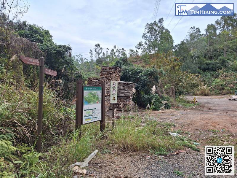
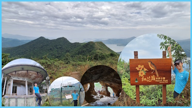
There is also a bulletin board at the foot of the mountain here,


