


 Recommend YouTube


| View : |  | ||
| Difficulty : |  | ||
| Path : | |||
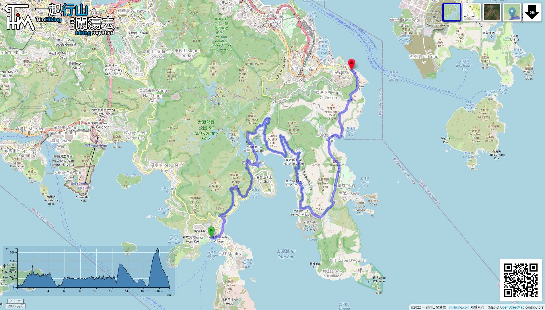
| Length : | 19.3km | ||
| Time : | 5hours | ||
 | |
| Ascent : 1,285m | Descent : 1,236m |
| Max : 221m | Min : 0m |
| (The accuracy of elevation is +/-30m) | |


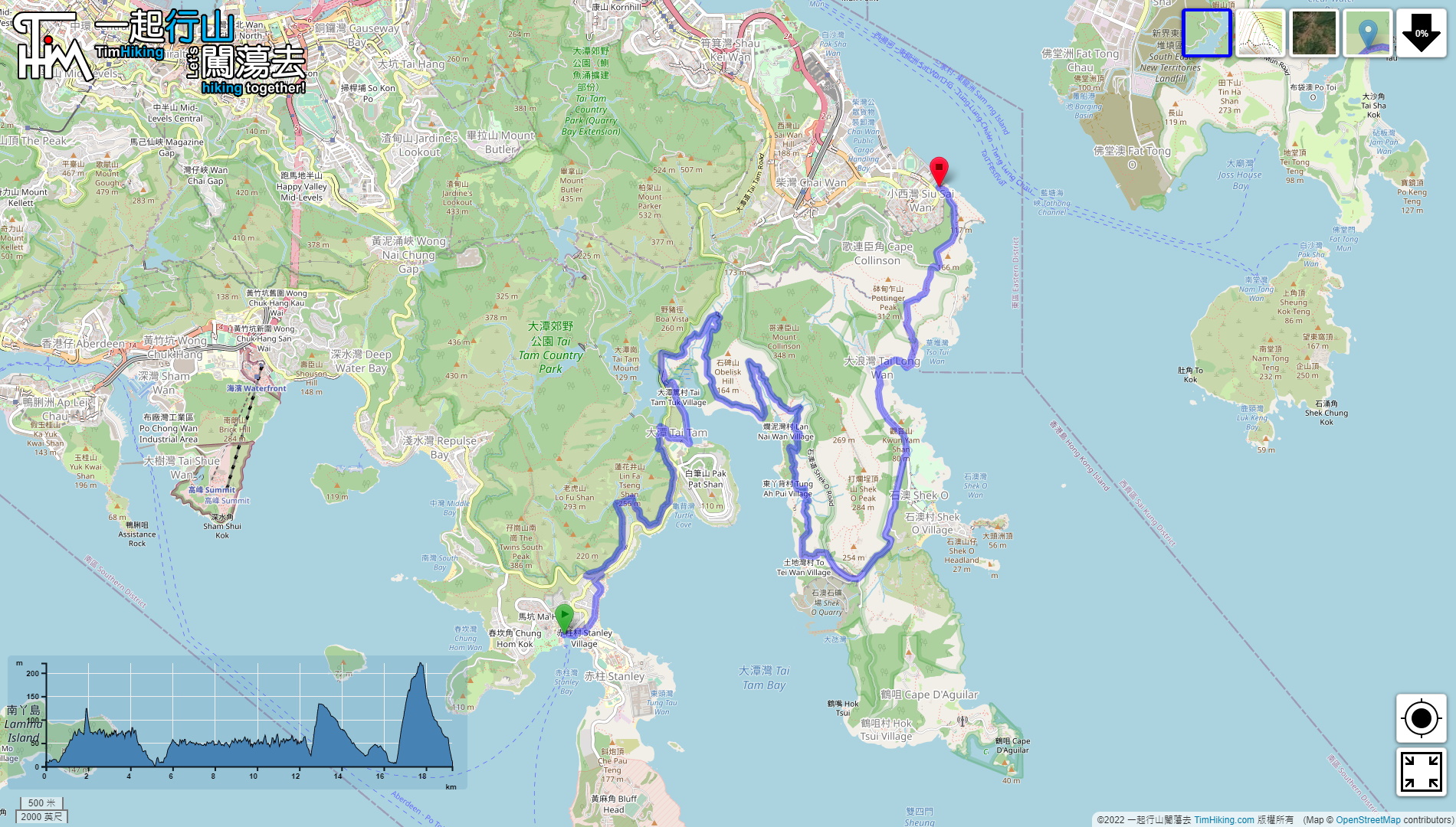
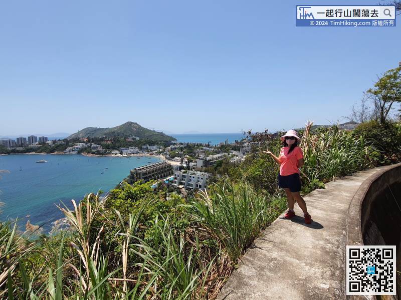
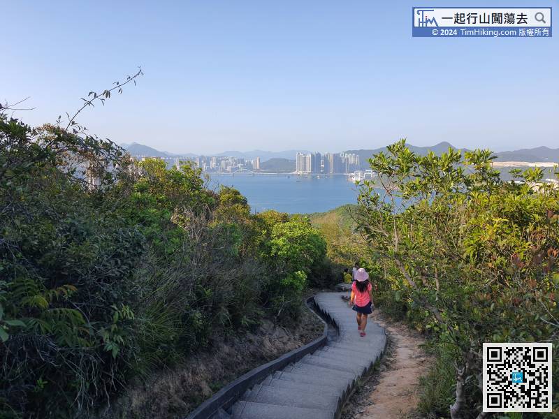
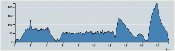
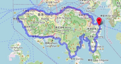
 1︰The route of Round Hong Kong Island (Section 3) starts from the Stanley Murray House,
The route of Round Hong Kong Island (Section 3) starts from the Stanley Murray House,
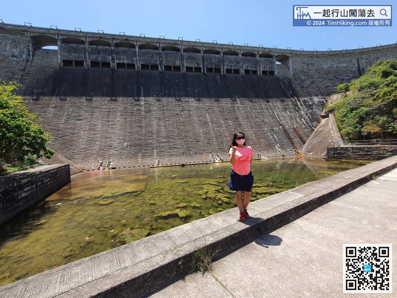
18︰and the scenery is mainly Tai Tam Bay.
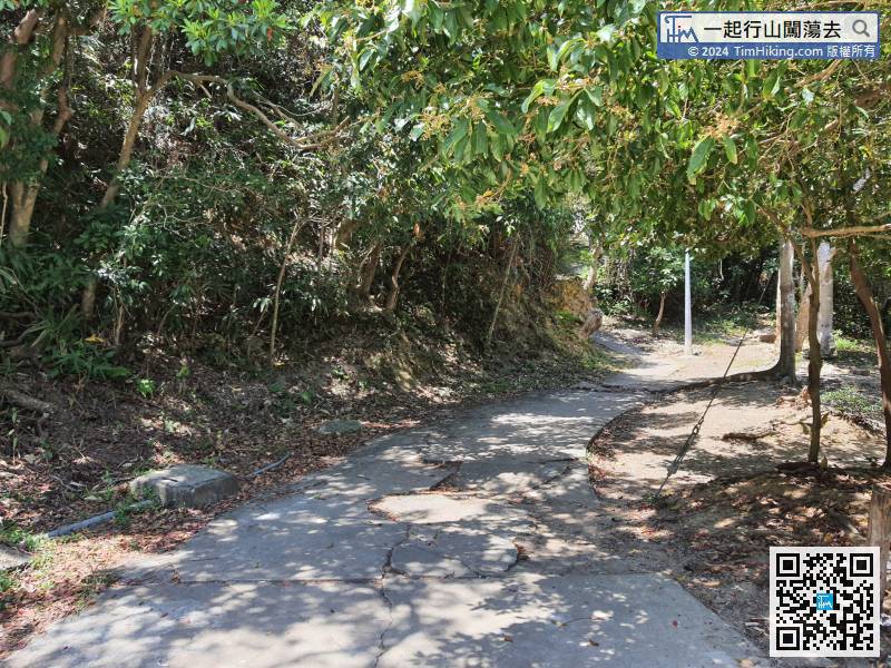
7km is long, the scenery is a bit monotonous,
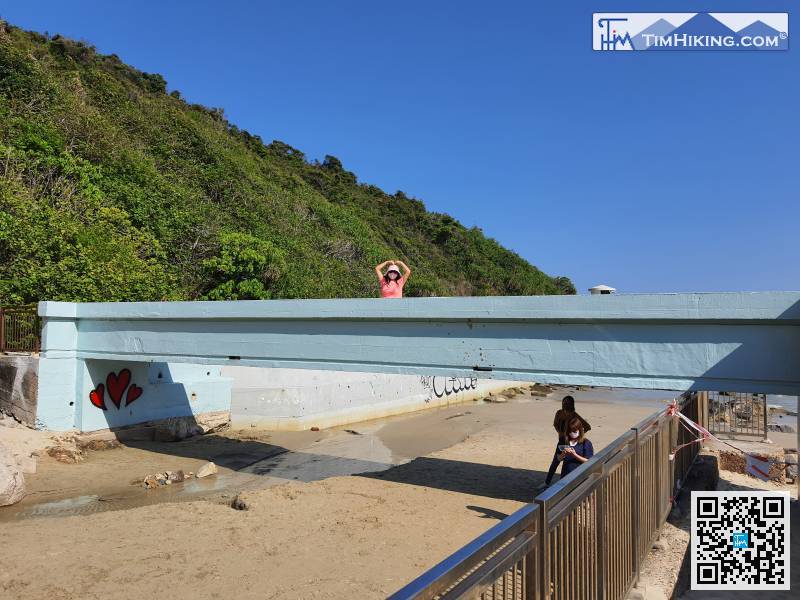
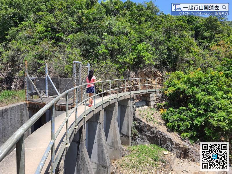
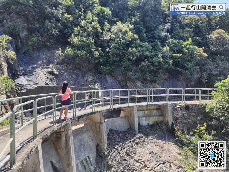
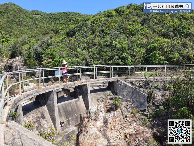
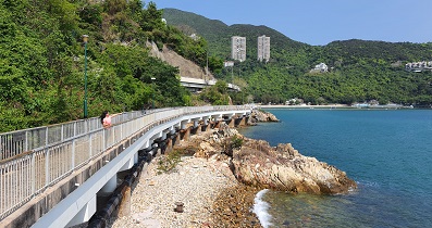
77︰and will see a small blue bridge,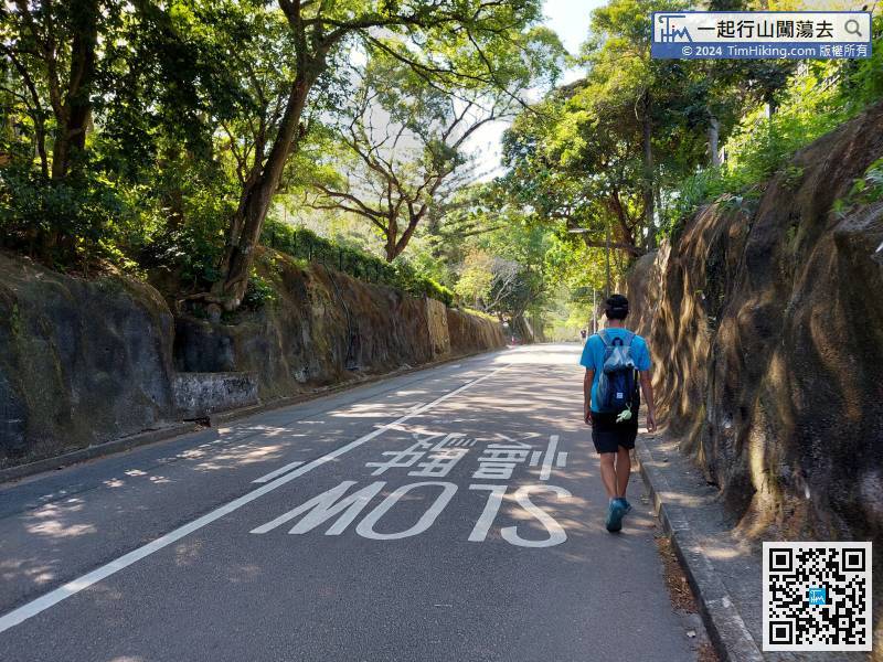
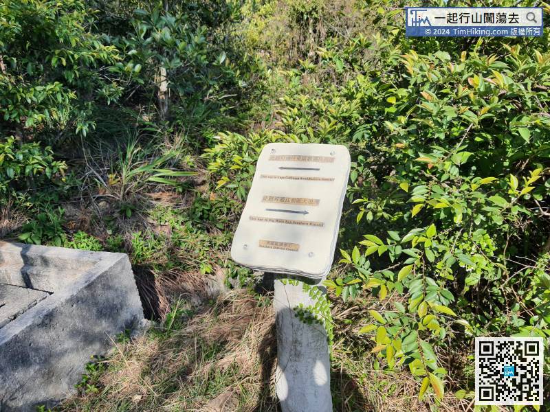
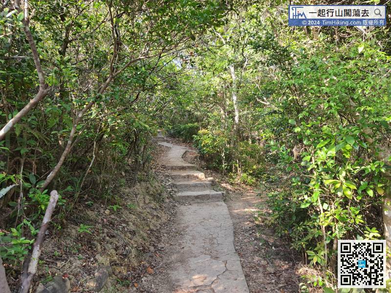
There is only one main path in the middle, and there are also road signs,
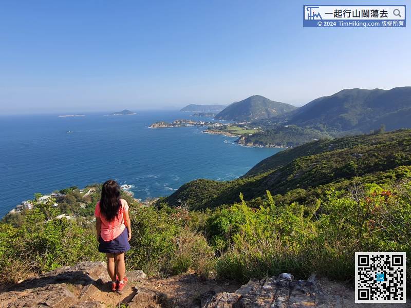
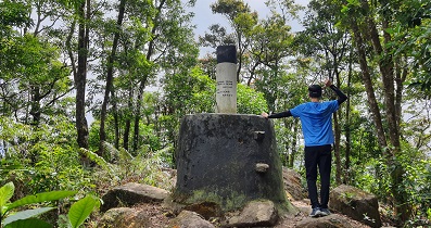
A few moments later, have come to the top of the last section,


