


 Recommend YouTube


| View : |  | ||
| Difficulty : |  | ||
| Path : | |||
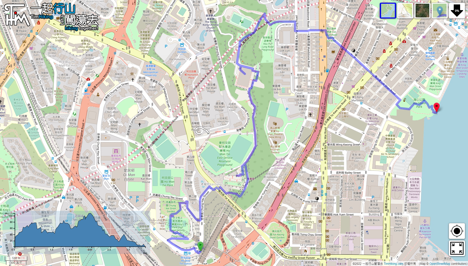
| Length : | 3.5km | ||
| Time : | 1½hours | ||
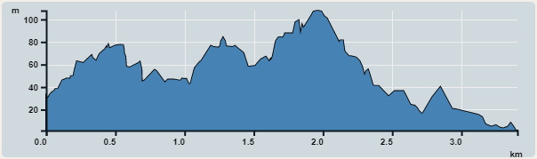 | |
| Ascent : 251m | Descent : 289m |
| Max : 108m | Min : 1m |
| (The accuracy of elevation is +/-30m) | |


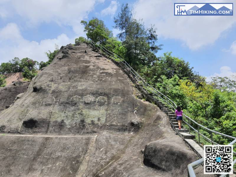
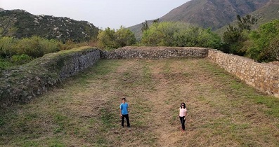
 10︰will see multiple courses. The top of No.12 Hill in the past is here.
 16︰Go straight down the long stairs,
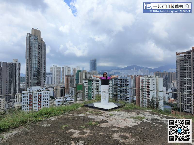
 29︰will find the trigonometrical station of No.11 Hill,
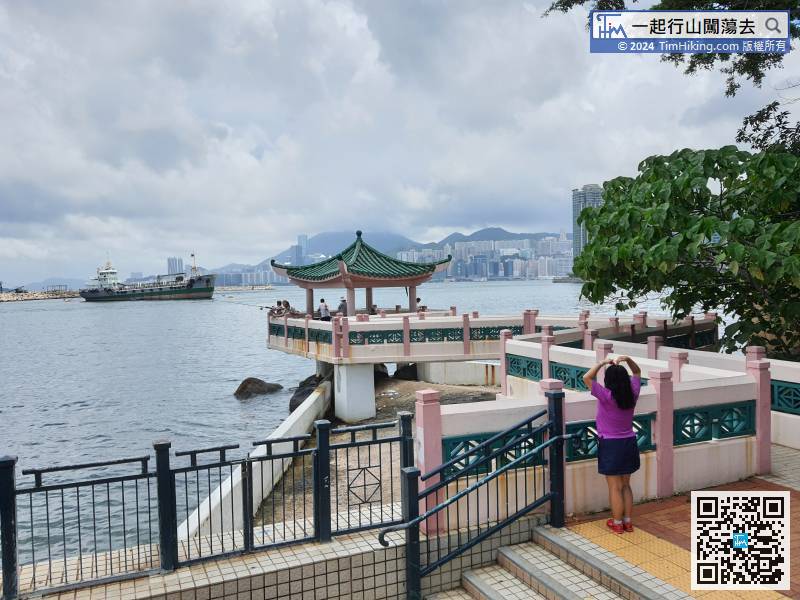
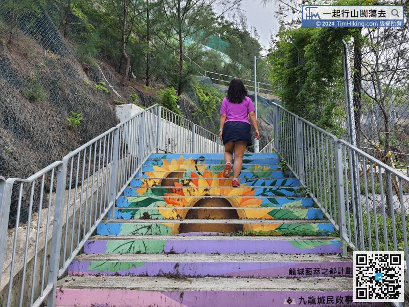 41︰can see the Victoria Harbour on the narrow road.
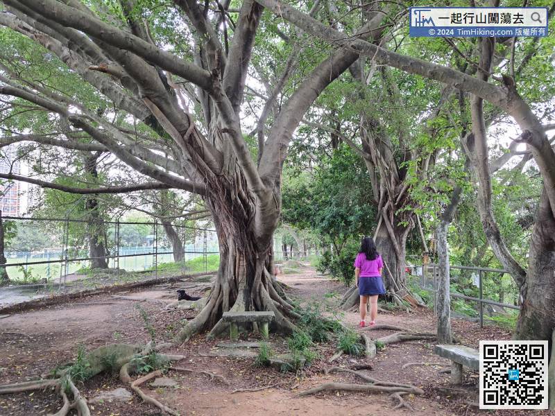
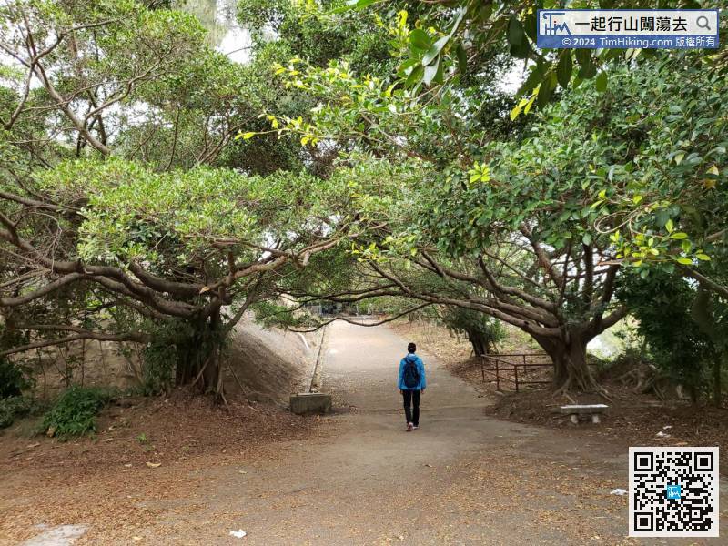
Return to the pavilion position, keep to the right and walk between the trees.
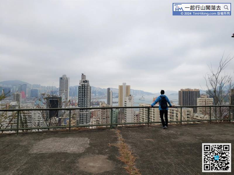
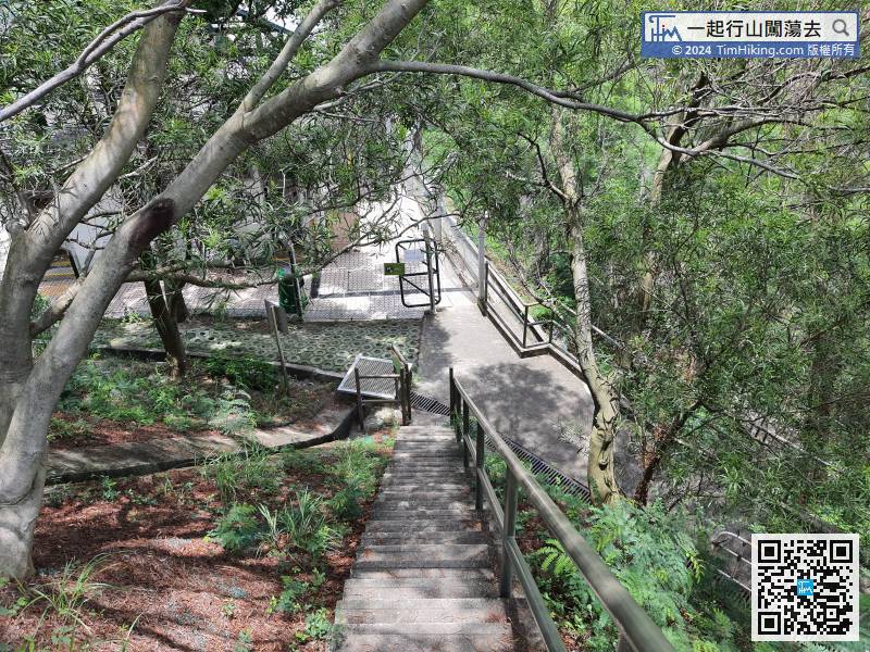
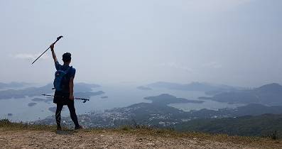
44︰which is a good place to enjoy the city scenery.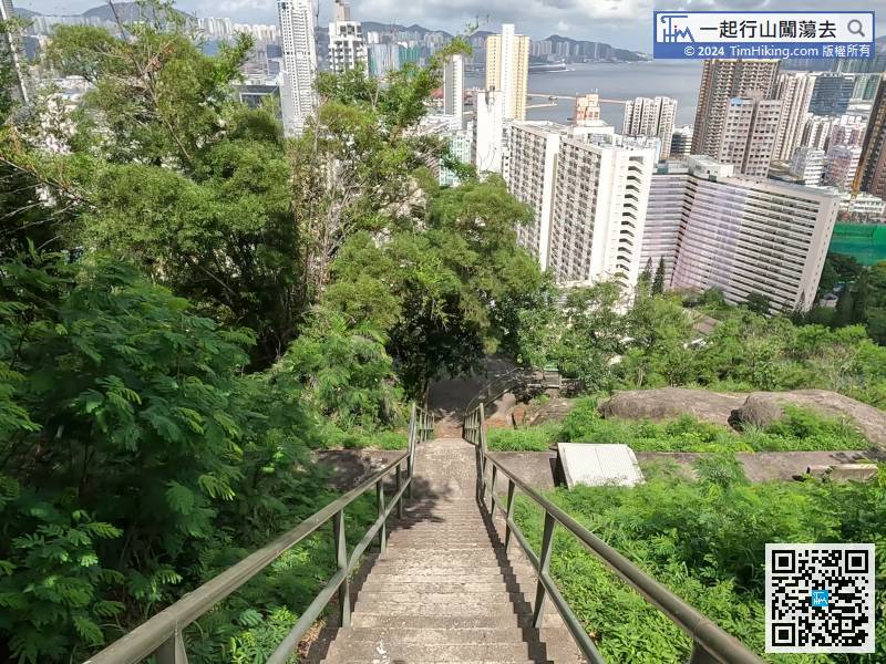 57︰Keep to the right and keep going down,
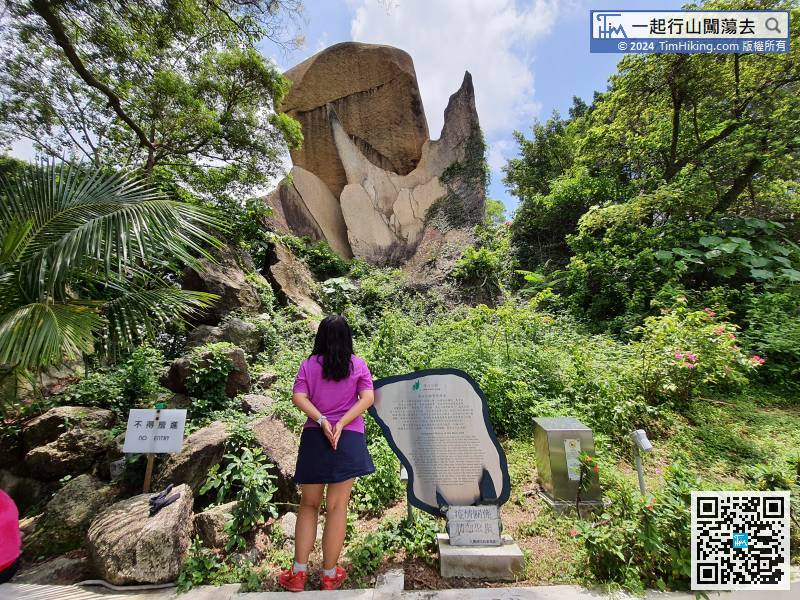
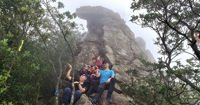
 79︰Just follow the signs to Fishtail Rock, will easily come to Fishtail Rock.


