


 Recommend YouTube


| View : |  | ||
| Difficulty : |  | ||
 (leave at Ha Shan Tuk) | |||
| Path : | |||
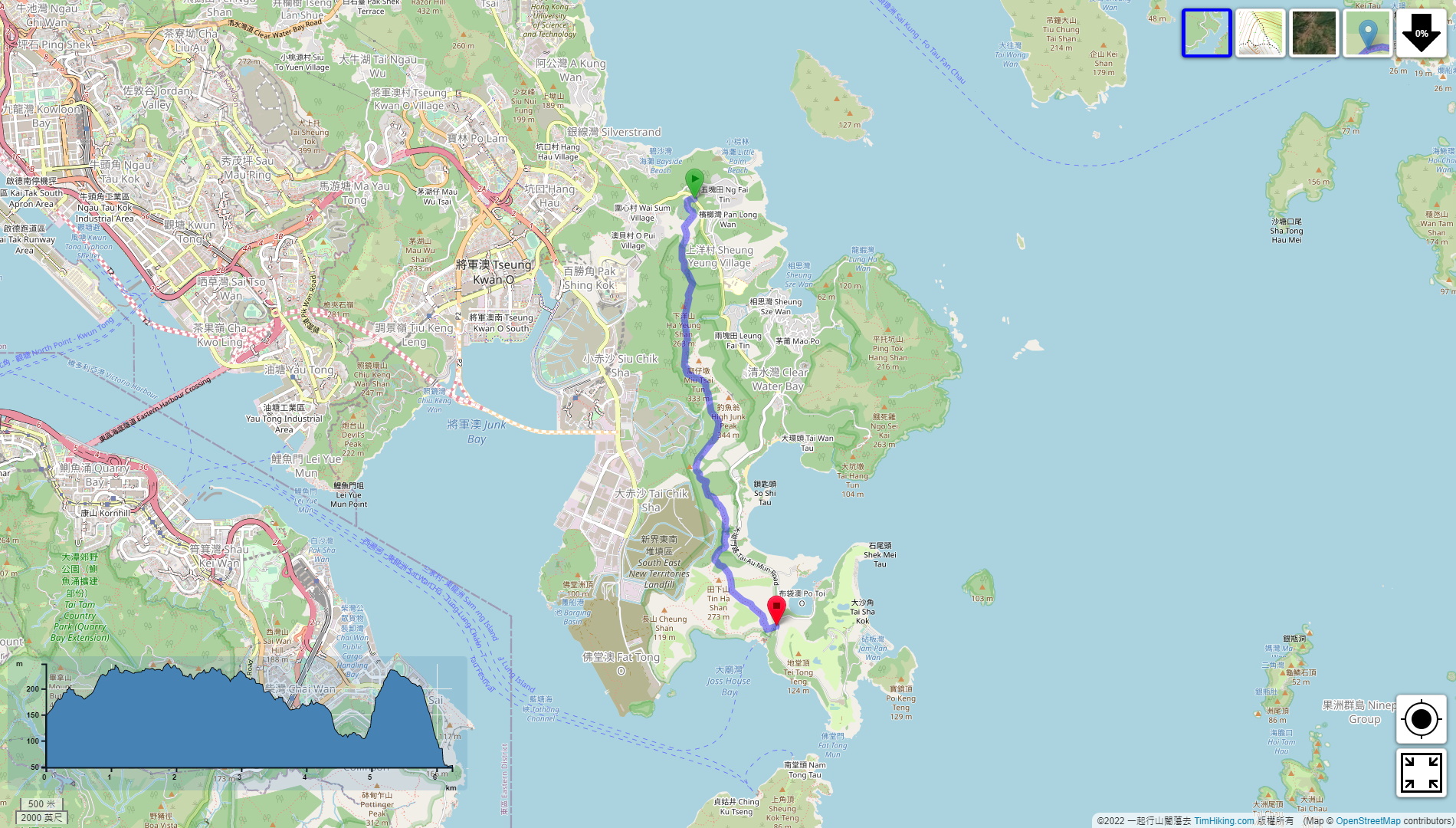
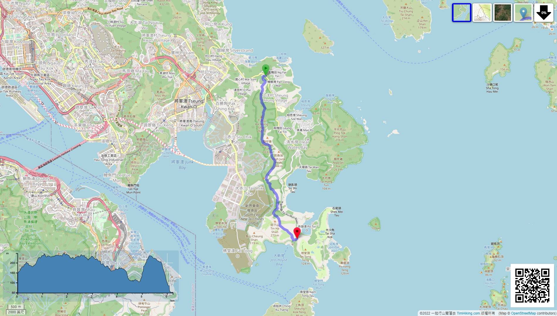
| Length : | 6.3km | ||
| Time : | 3hours | ||
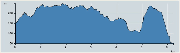 | |
| Ascent : 434m | Descent : 520m |
| Max : 248m | Min : 49m |
| (The accuracy of elevation is +/-30m) | |


 7︰At the first fork, turn left,
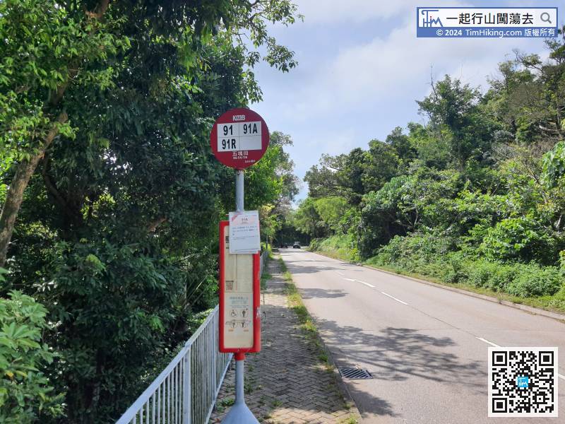
The starting point is at Ng Fai Tin. Hikers can take bus 91/91R or minibus 16/103/103M and get off at Ng Fai Tin.
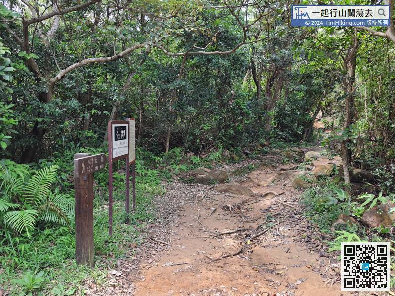
All of the trails are official trails, so the road signs are very clear.
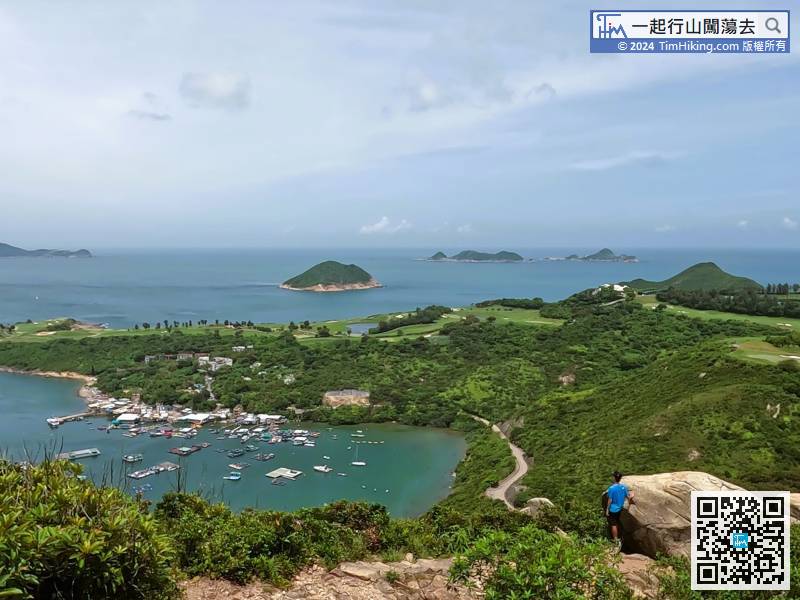
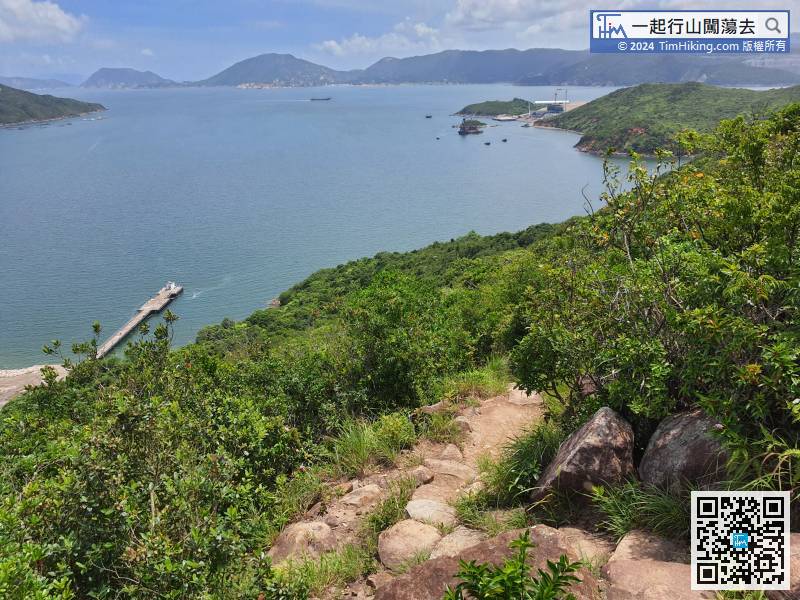
26︰In the middle, can see Po Toi O on the left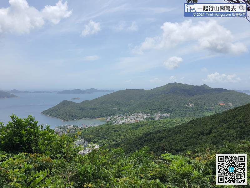 35︰Walk along the clear mountain trail, go to a place where there is a small piece of rotten land,
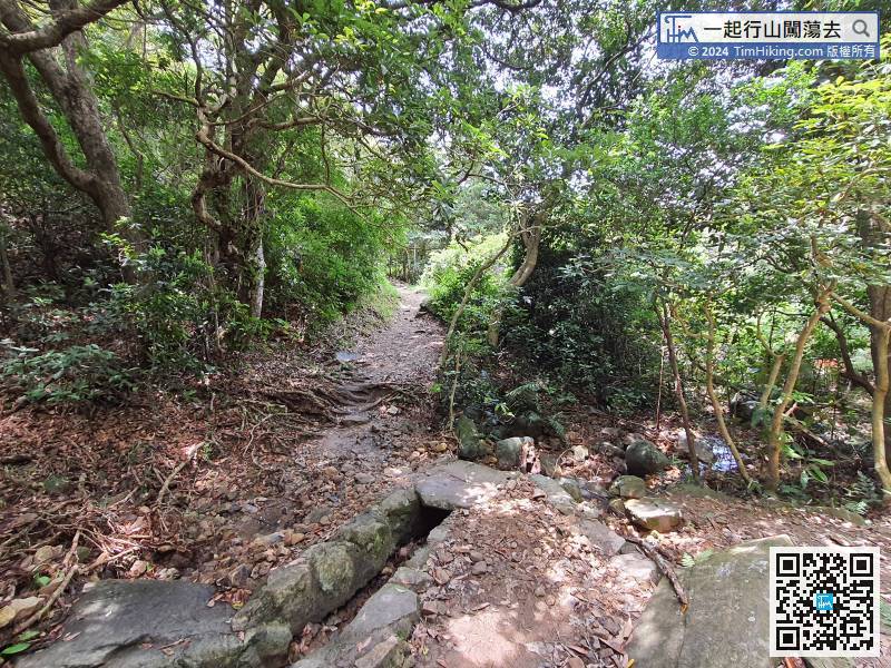
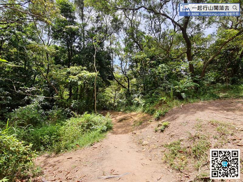
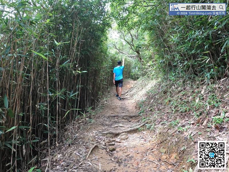
Walk along the clear mountain trail, go to a place where there is a small piece of rotten land,
 72︰At the position of the wooden bench, might as well take a short break,
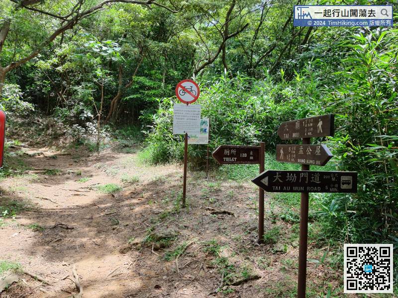
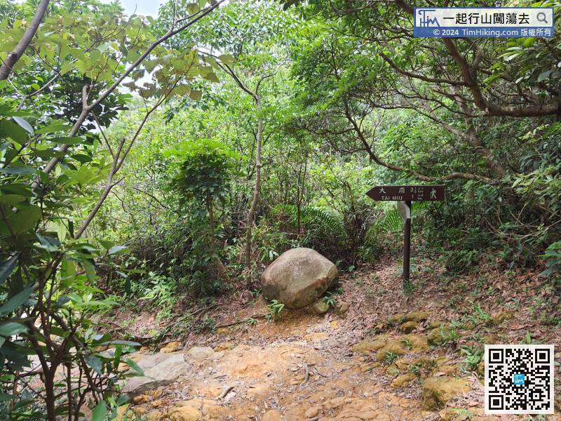
The next step is the most difficult section of the whole journey. It will take about 1.75km to Tai Miu
82︰Near the top of the mountain,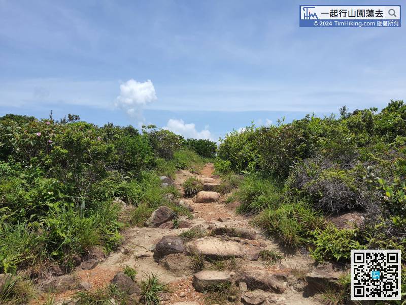
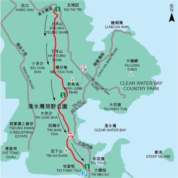
Official Map


