


 Recommend YouTube


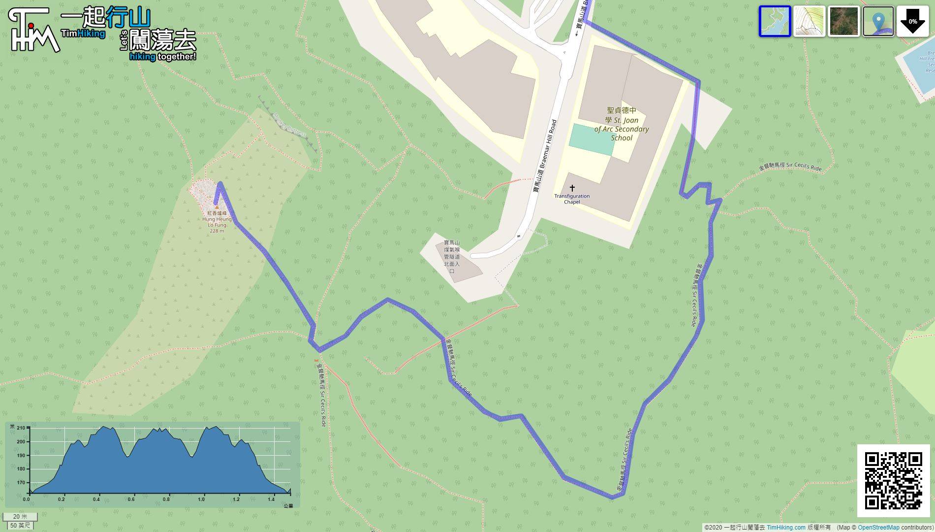
| View : |  | ||
| Difficulty : |  | ||
| Path : | |||
| Length : | 1.9km | ||
| Time : | ¾hours | ||
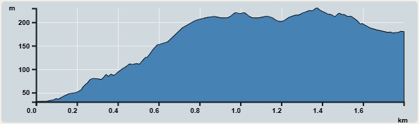 | |
| Ascent : 205m | Descent : 200m |
| Max : 230m | Min : 15m |
| (The accuracy of elevation is +/-30m) | |


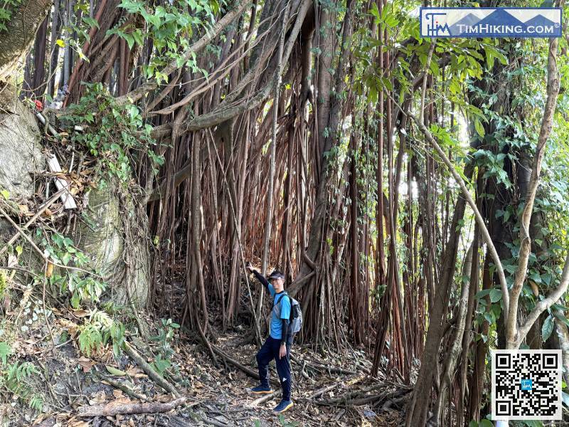
Under a huge banyan tree, it's a truly magnificent natural structure; feel free to take some photos.
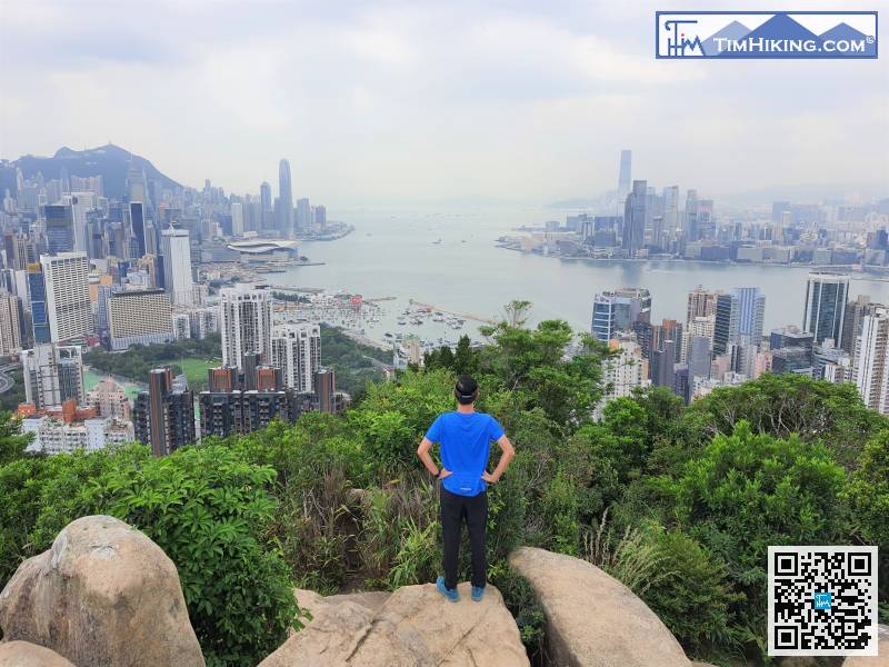
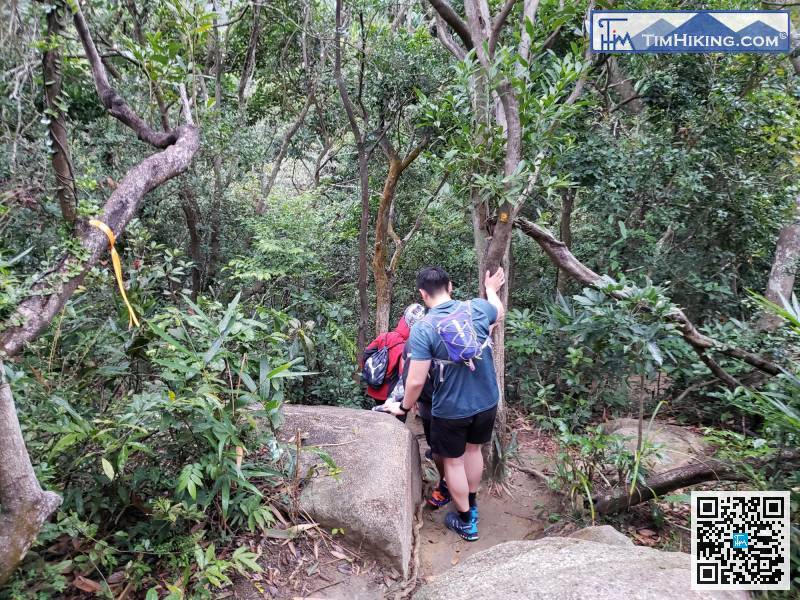
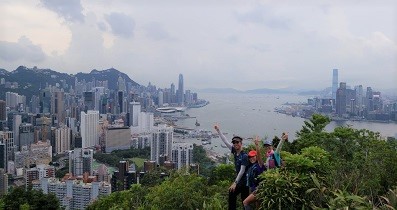
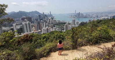
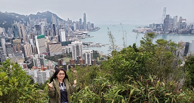
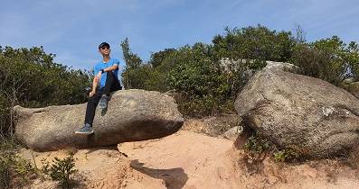
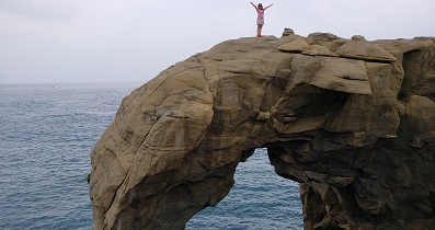
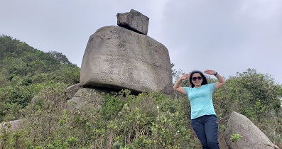
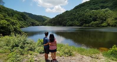
 29︰those who enjoy the scenery can climb up for the views.


