


 Recommend YouTube

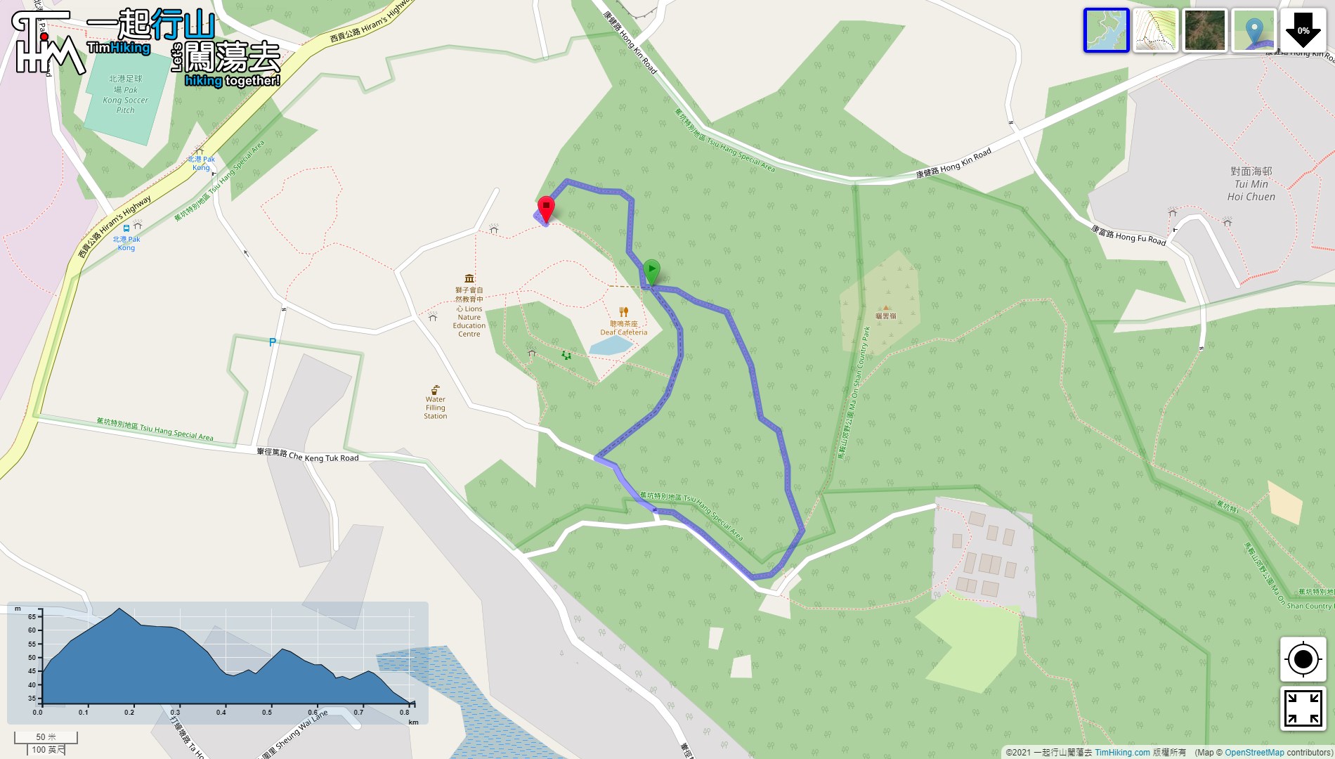


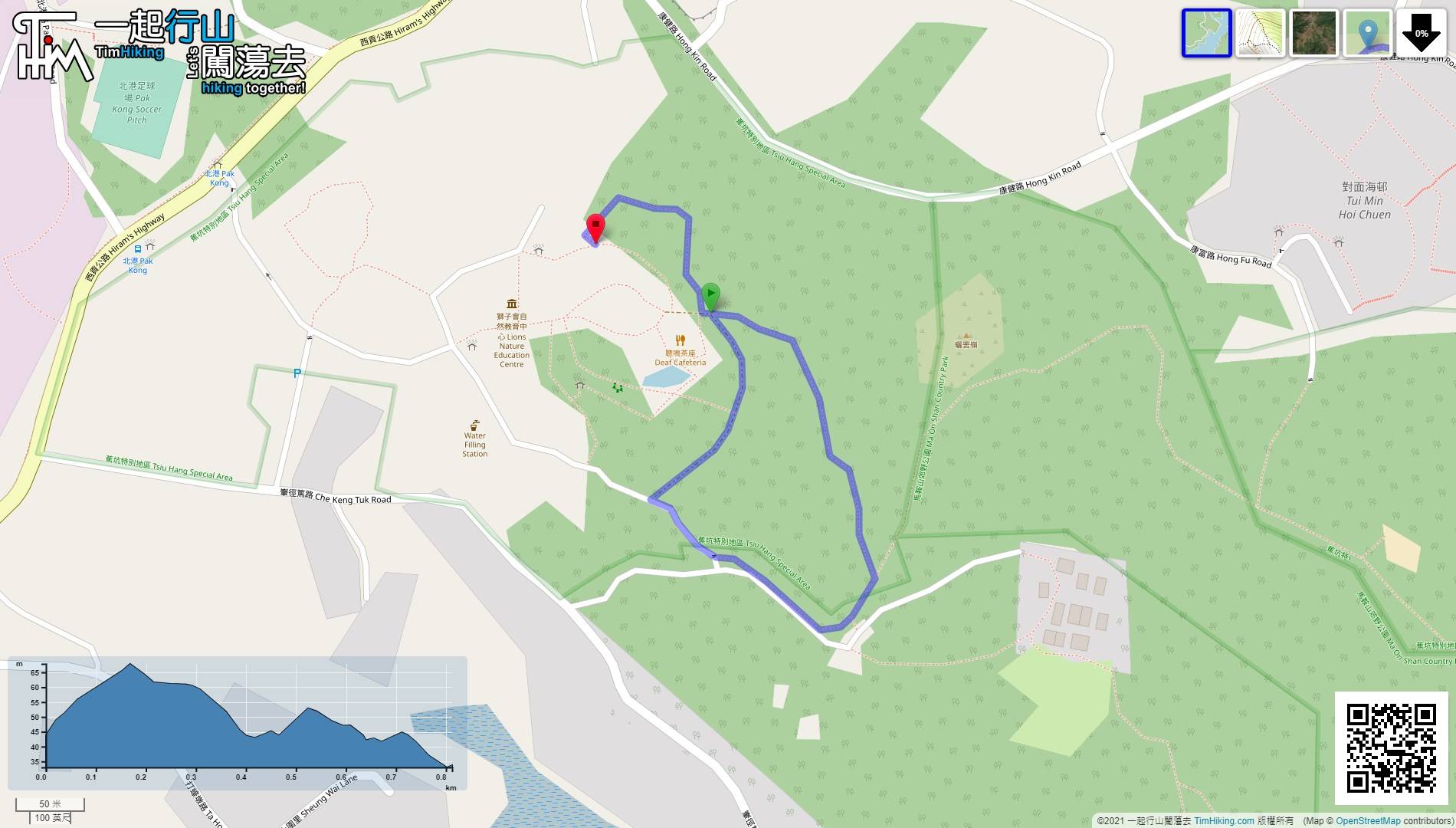
| View : |  | ||
| Difficulty : |  | ||
| Path : | |||
| Length : | 0.9km | ||
| Time : | ¼hours | ||
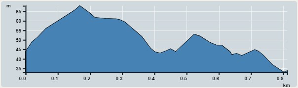 | |
| Ascent : 45m | Descent : 55m |
| Max : 68m | Min : 33m |
| (The accuracy of elevation is +/-30m) | |


 聰鳴茶座
聰鳴茶座
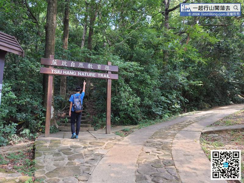
 10︰and will come to a crossroad
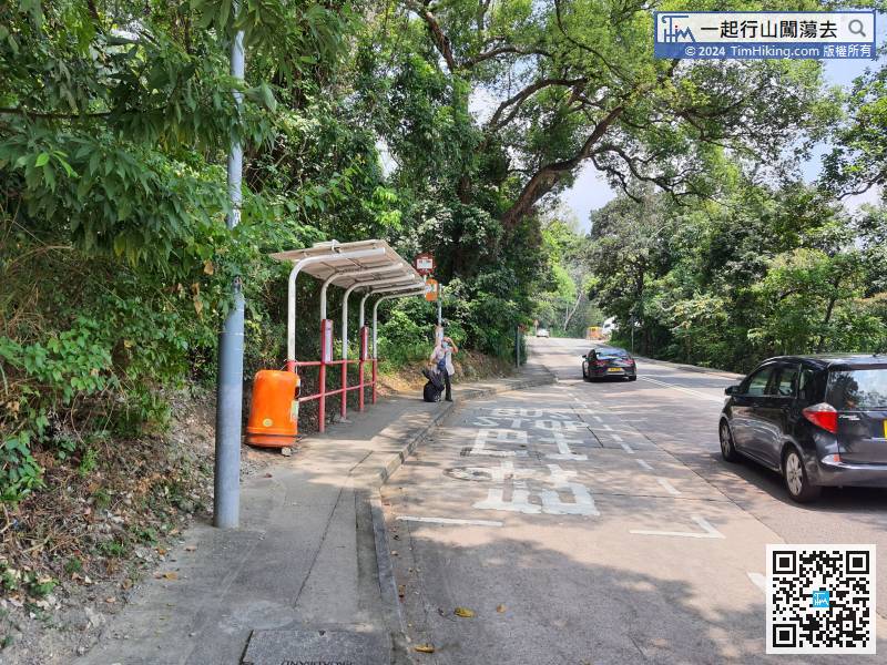
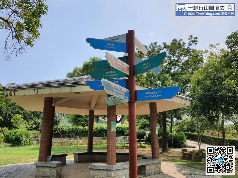
Besides the big pavilion, there is a sign that points to all directions, clearly indicating the direction of different places.
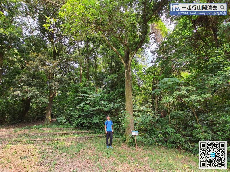
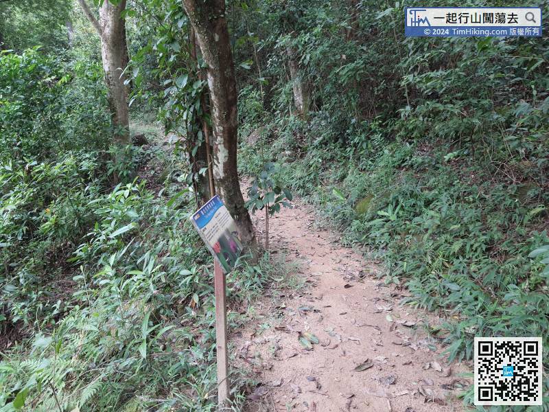
30︰Pay attention to the trail, will find the wooden pillar of Nature Trail, most of which are very wide roads and very easy to walk.
 41︰Be careful to turn right at the next fork.
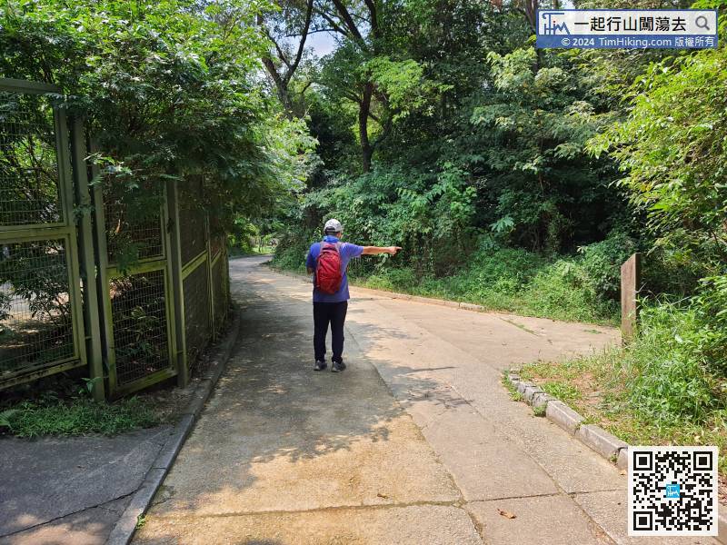


