


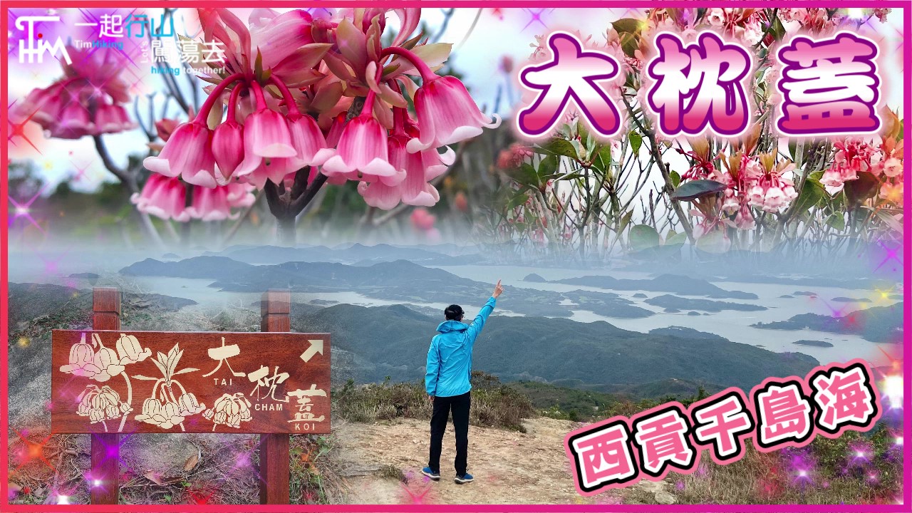
 Recommend YouTube

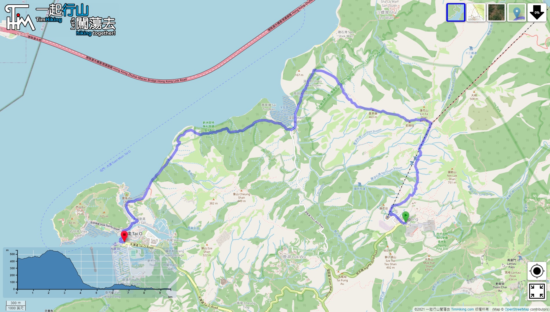

| View : |  | ||
| Difficulty : |  | ||
| Path : | |||
| Length : | 9.7km | ||
| Time : | 5½hours | ||
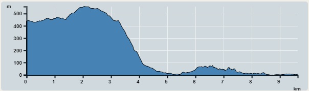 | |
| Ascent : 407m | Descent : 837m |
| Max : 557m | Min : 0m |
| (The accuracy of elevation is +/-30m) | |

 Store
Store
 8︰the location of the distance post is L031.
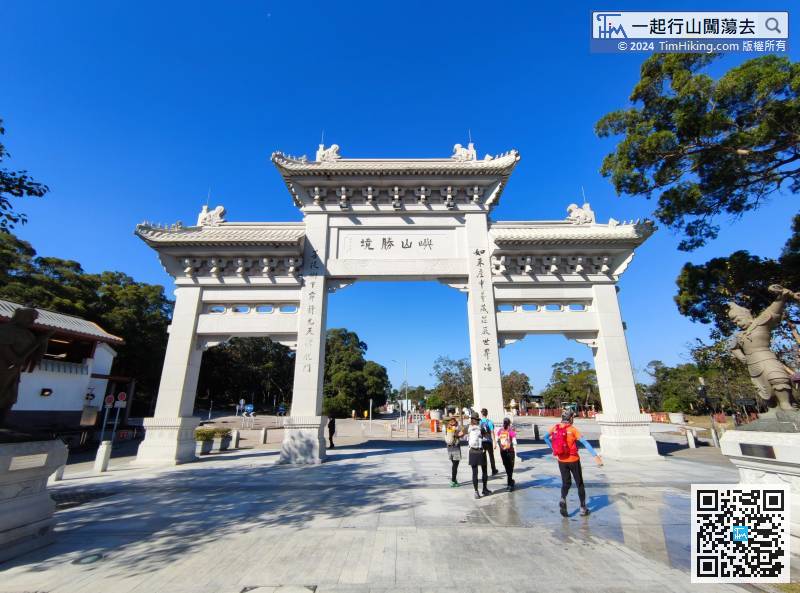 17︰and will encounter another fork intersection.
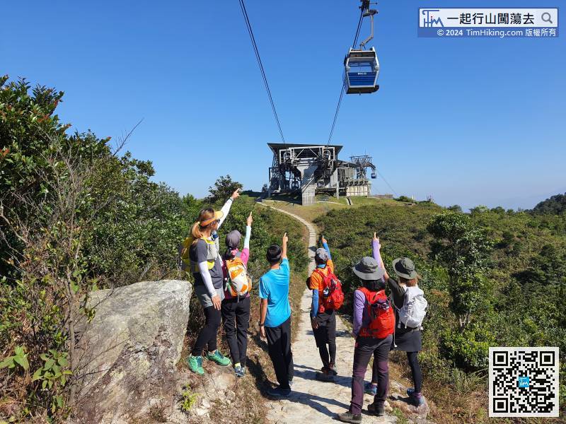
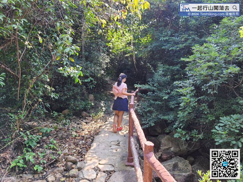
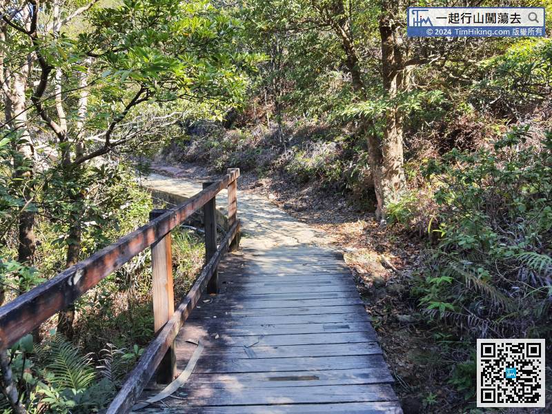 24︰Leave Ngong Ping 360 Rescue Plank Trail here,
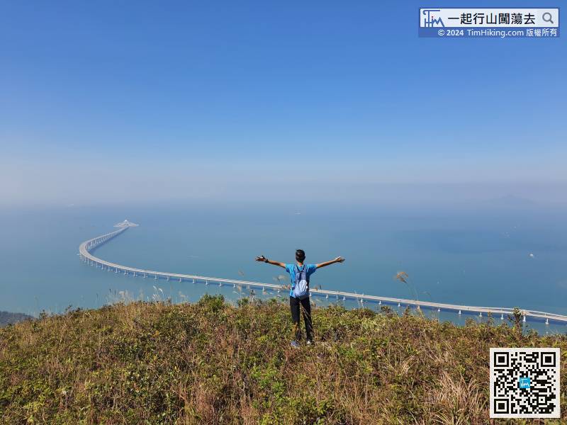
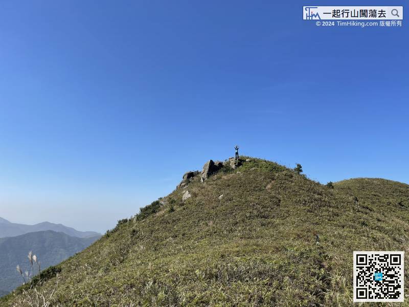
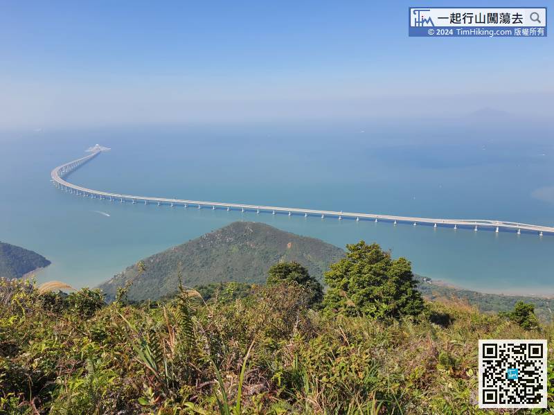
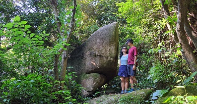
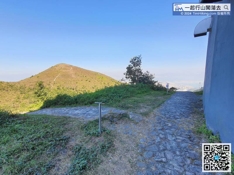 43︰and finally coming to Wong Mau Leng. There are a few boulders at the highest point,
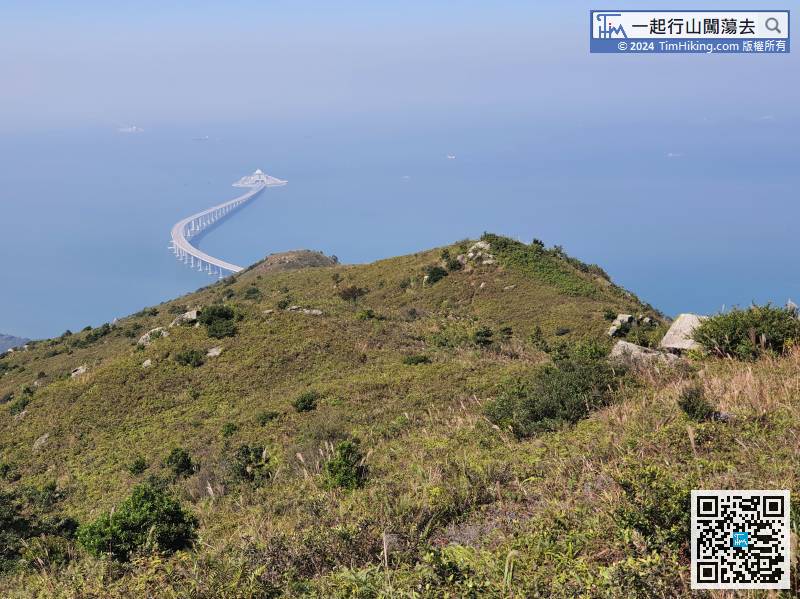
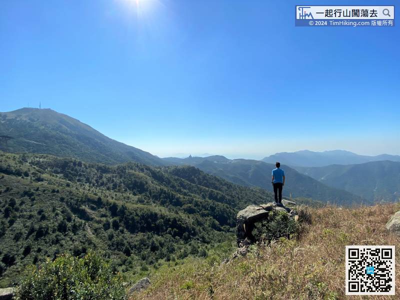
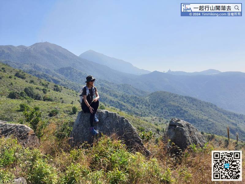
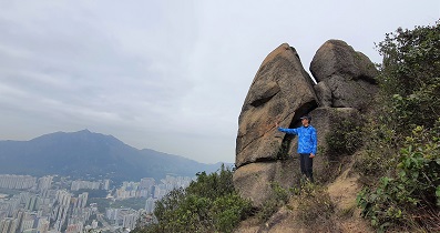
After the short break, continue to Wong Mau Leng, the front is a bit like Lo Fu Tau is the peak.
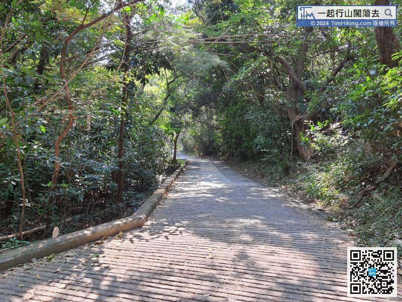
 63︰At the foot of the mountain, there is a stone monument erected in 1959,
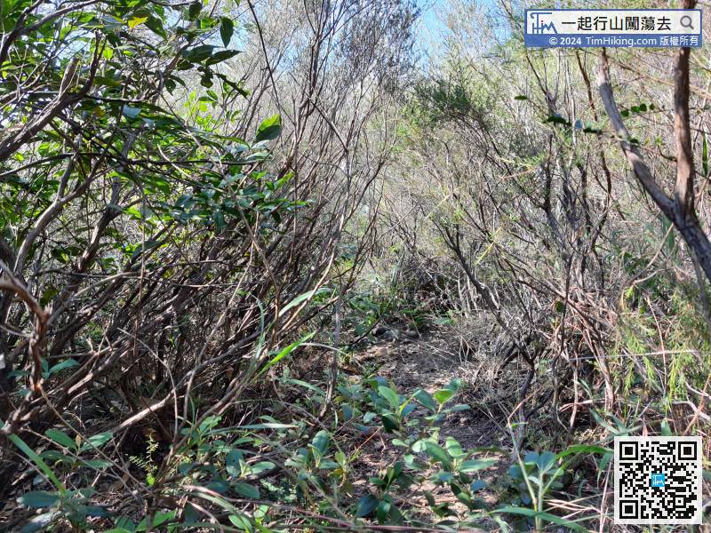
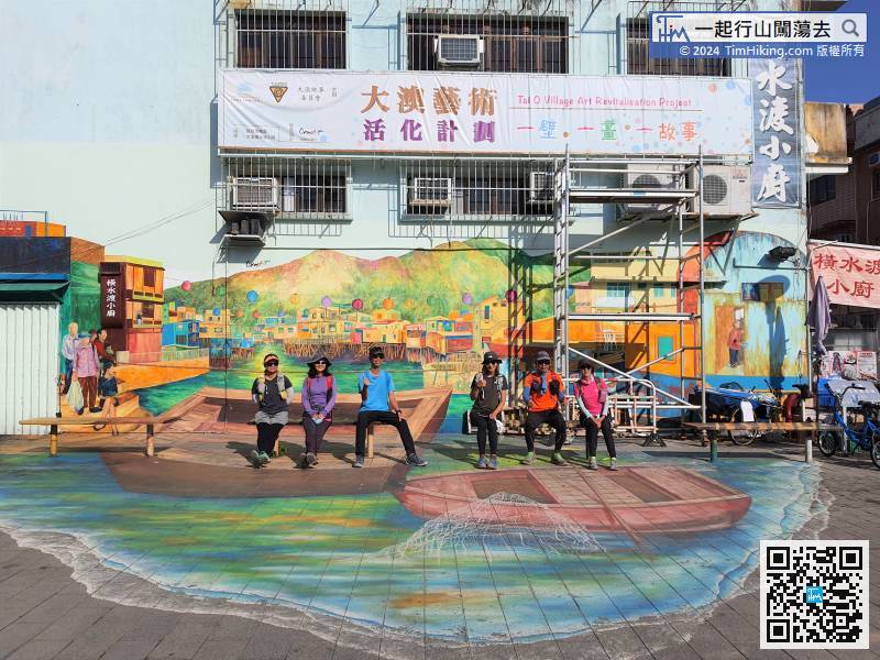
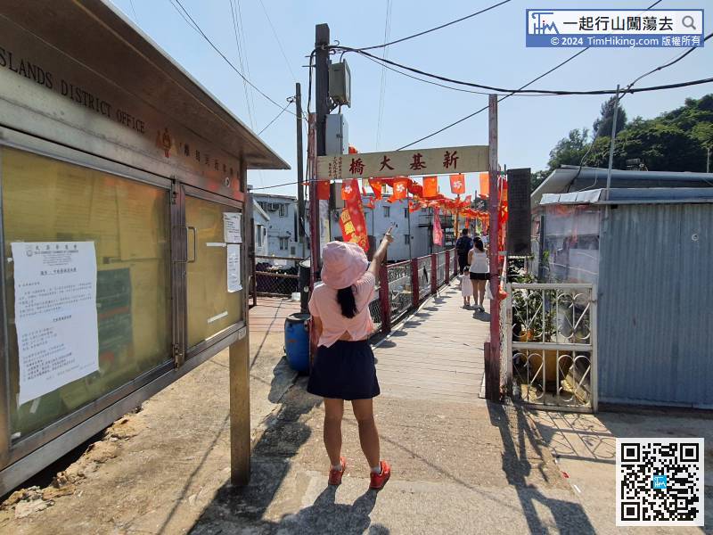
After arriving at the Tung O Ancient Trail, turn left toward Tai O. Hikers can also choose to leave in the direction of Tung Chung, which is about 9km.


