


 Recommend YouTube


| View : |  | ||
| Difficulty : |  | ||
| Path : | |||
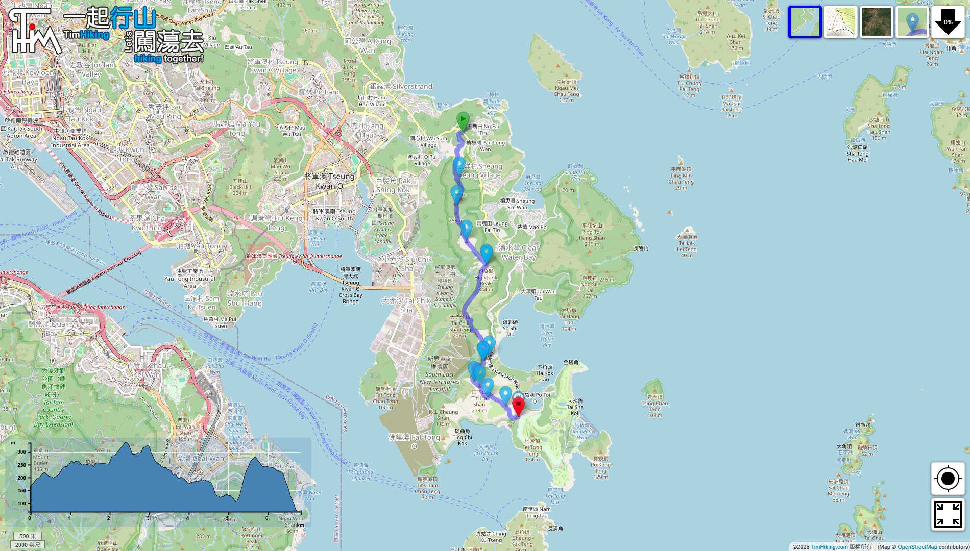
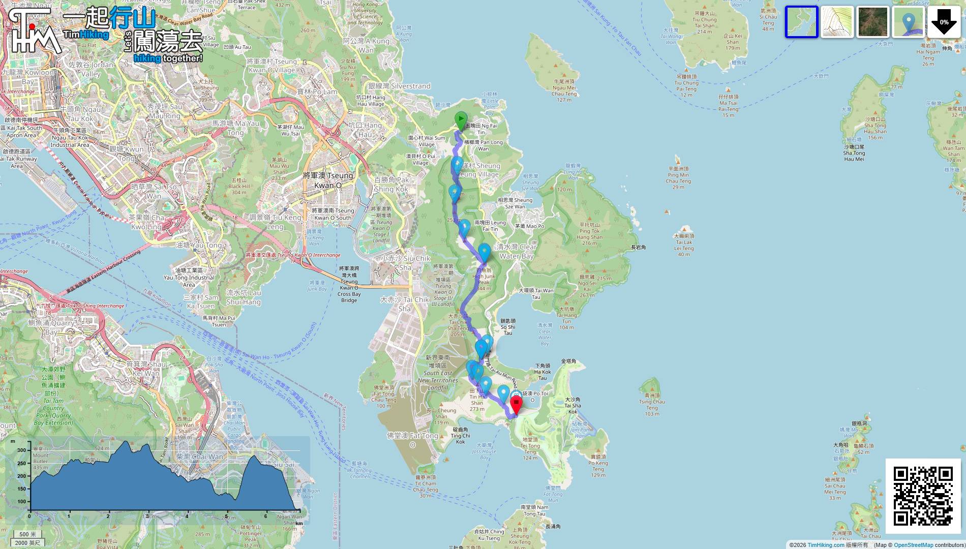
| Length : | 6.8km | ||
| Time : | 5hours | ||
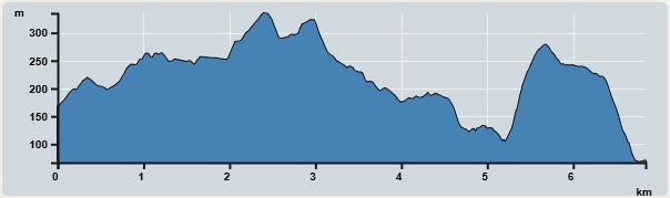 | |
| Ascent : 339m | Descent : 438m |
| Max : 323m | Min : 115m |
| (The accuracy of elevation is +/-30m) | |


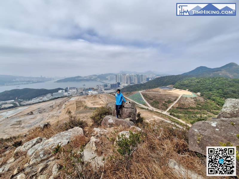
 9︰What was once a tree-lined section suddenly transformed into a wide, open scenic trail.
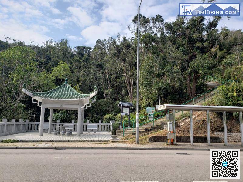
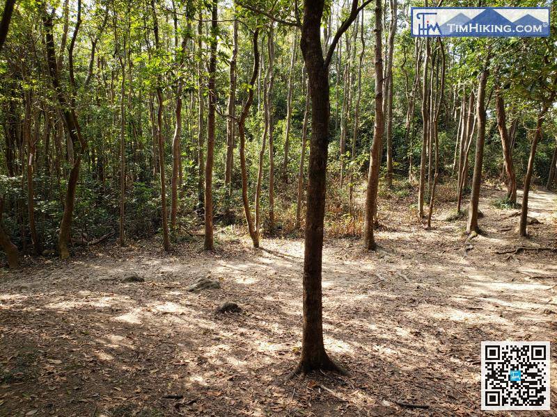
The starting point is near Ng Fai Tin, which is the entrance to the High Junk Peak Country Trail. You can take bus 91/91R/91S or minibus 16/103/103M and get off at the Ng Fai Tin stop.
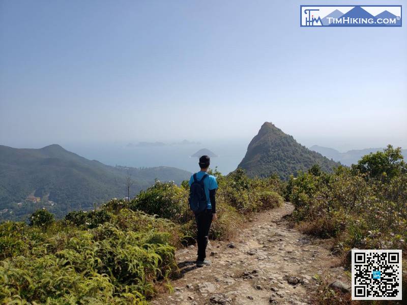
13︰Part of the trail overlaps with the Mountain Bike Trail, while other parts are separate.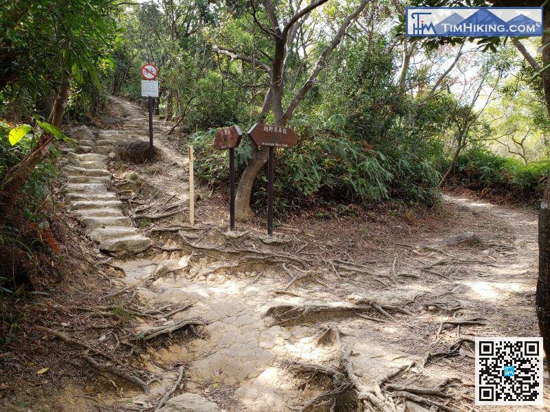
Part of the trail overlaps with the Mountain Bike Trail, while other parts are separate.
 37︰About 200 meters later, there was a large wooden railing on the left; that was the trail leading to Miu Tsai Tun.
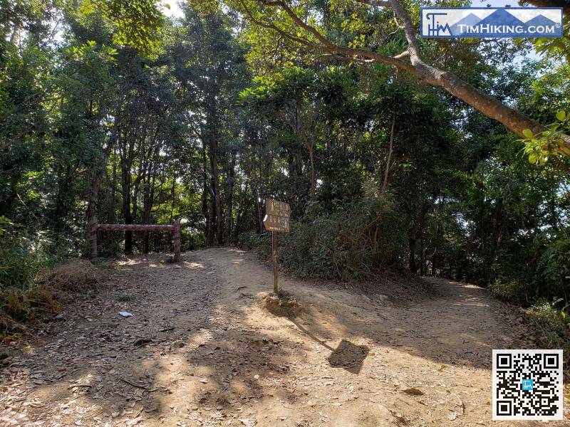
About 200 meters later, there was a large wooden railing on the left; that was the trail leading to Miu Tsai Tun.
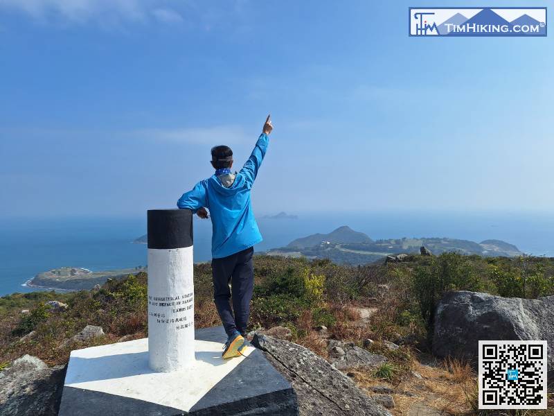
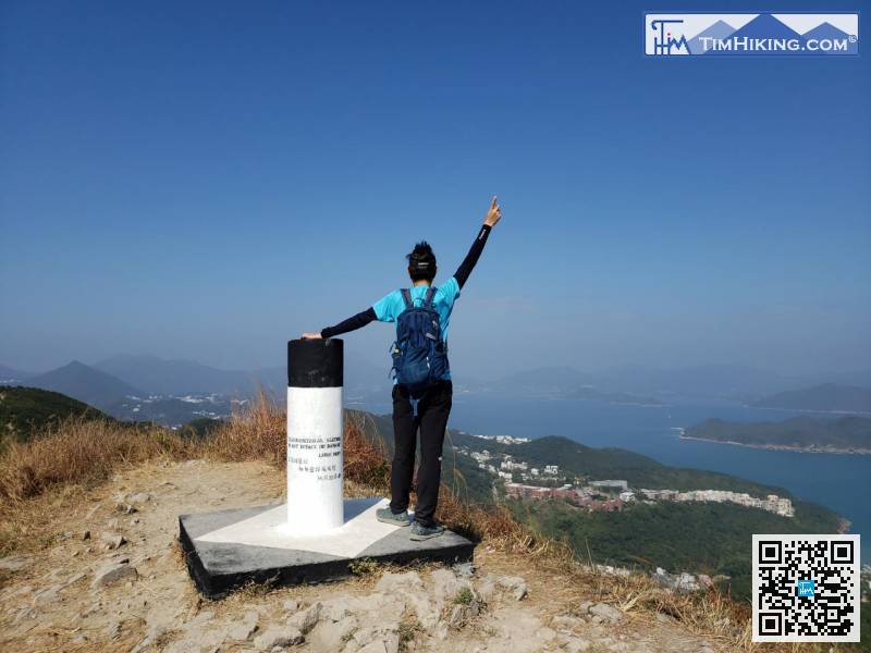
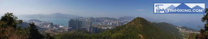
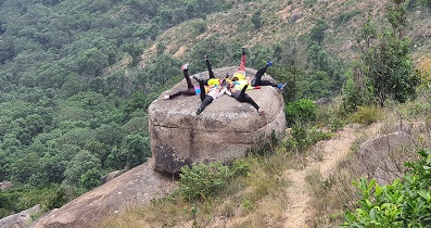
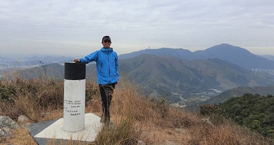
54︰At the summit, there is a trigonometrical station with a 360-degree panoramic view,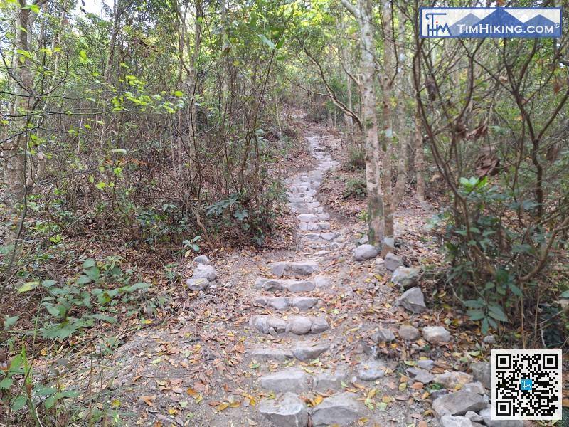
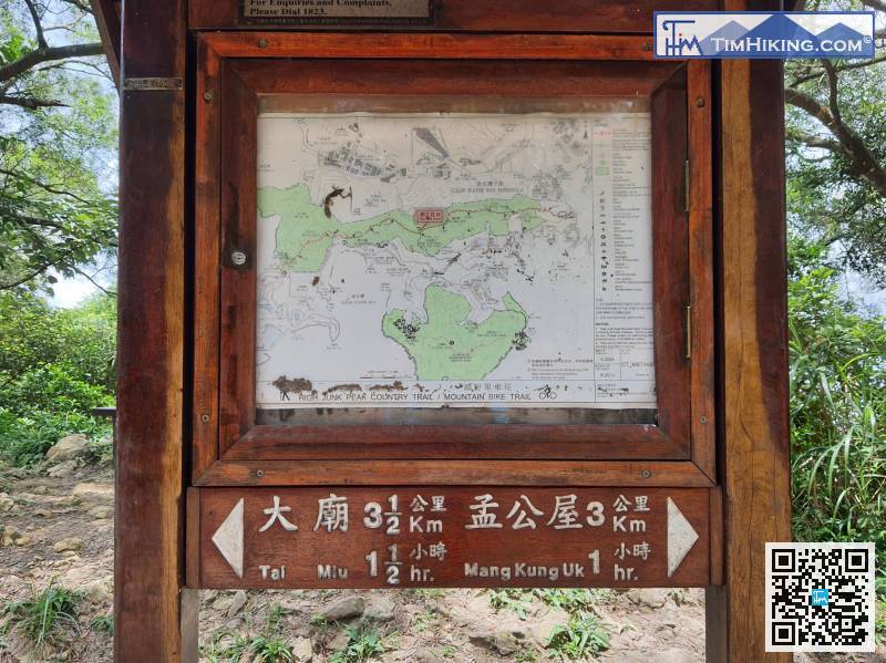
There is a map bulletin board in the middle of the fork; the route leads towards Tai Miu.
84︰Take a short break at the long wooden bench,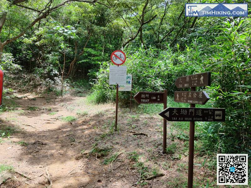
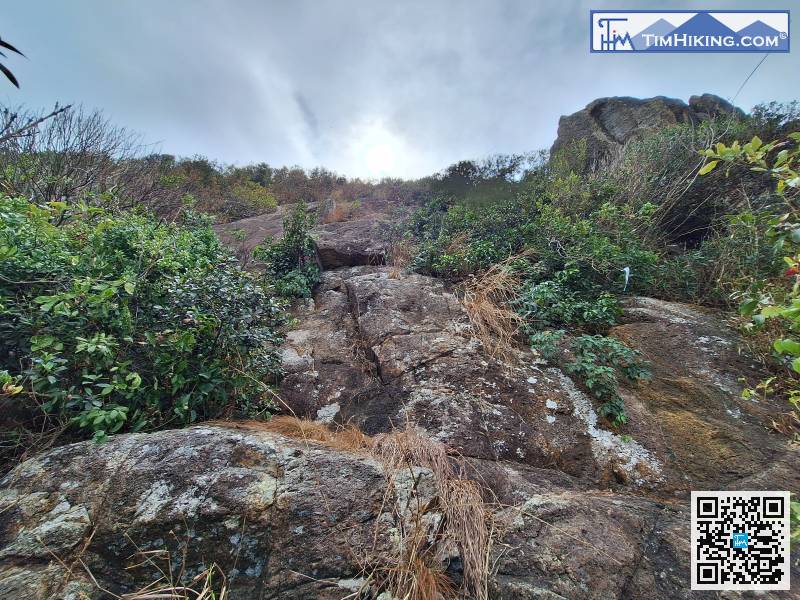
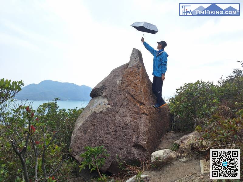
When you reach the bottom of the large cliff, do not climb upwards.
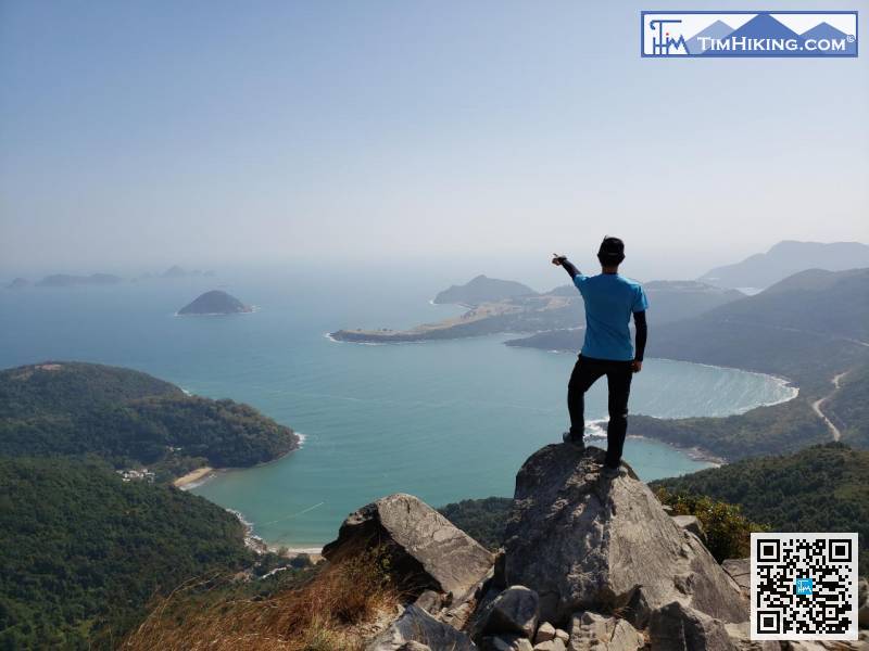
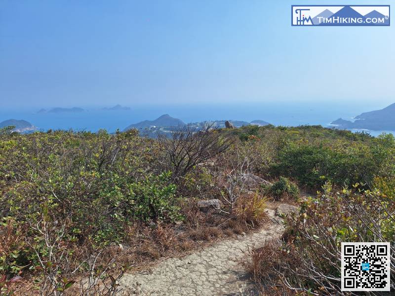 143︰The descent along this trail offers panoramic views of The Clearwater Bay Golf & Country Club and Ninepin Group—absolutely 5-star scenery.
The final section is the High Junk Peak Trail;


