


 Recommend YouTube


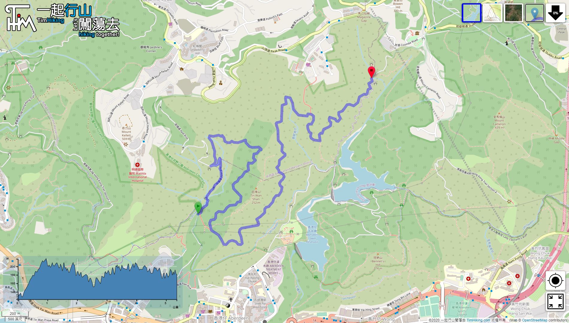


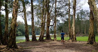
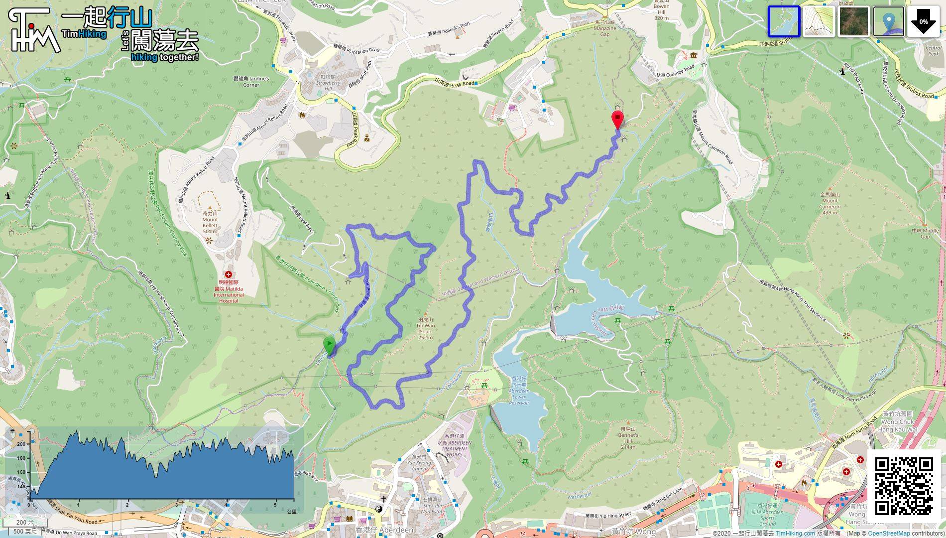
| View : |  | ||
| Difficulty : |  | ||
| Path : | |||
| Length : | 5.4km | ||
| Time : | 1¾hours | ||
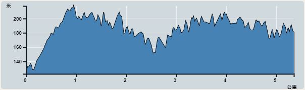 | |
| Ascent : 491m | Descent : 430m |
| Max : 218m | Min : 122m |
| (The accuracy of elevation is +/-30m) | |


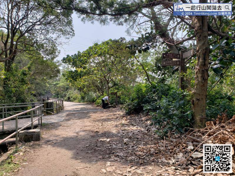
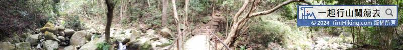
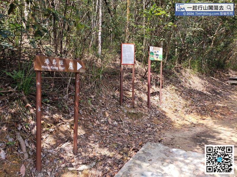
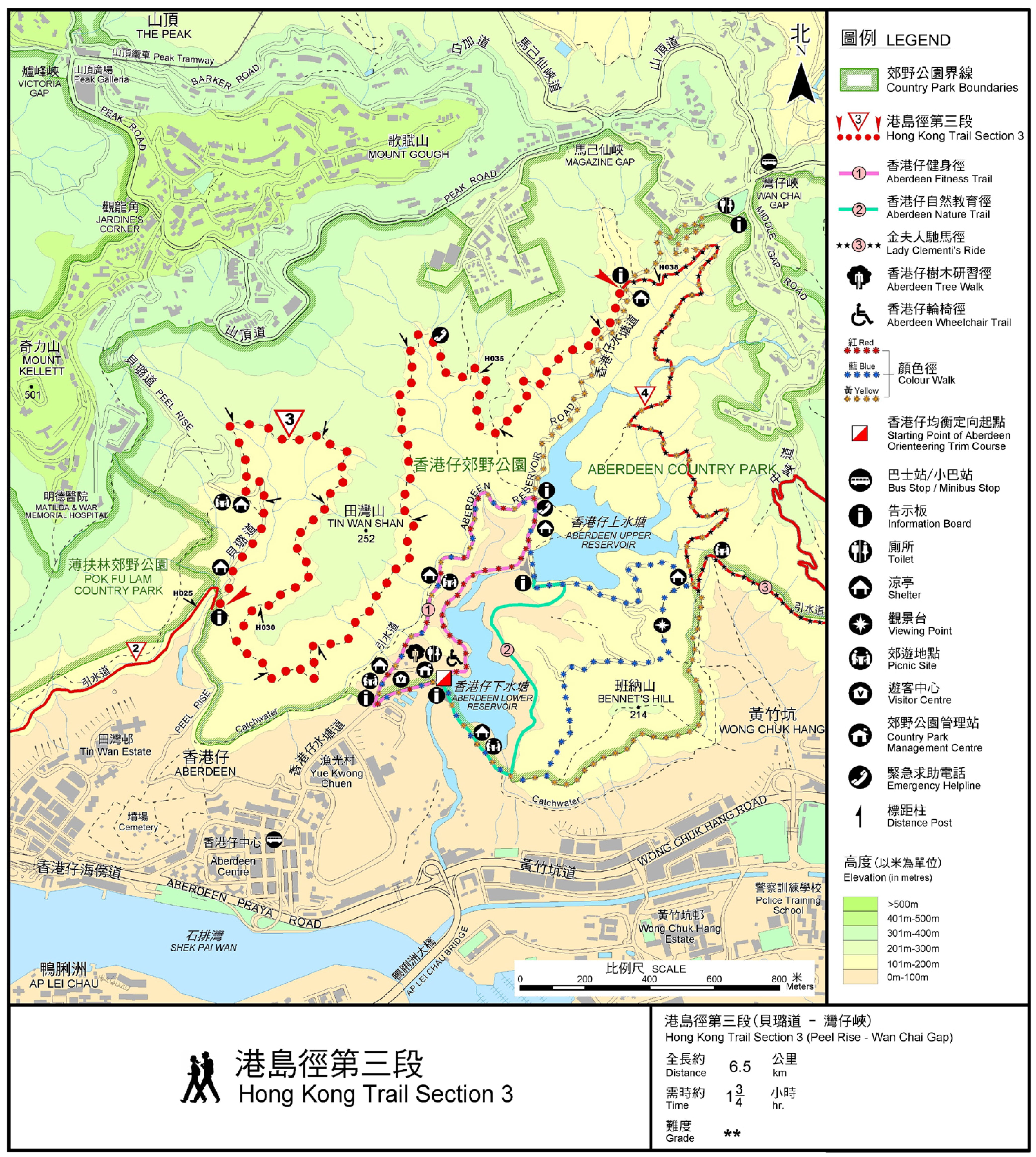
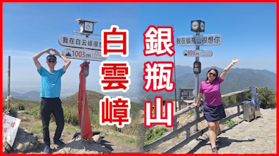
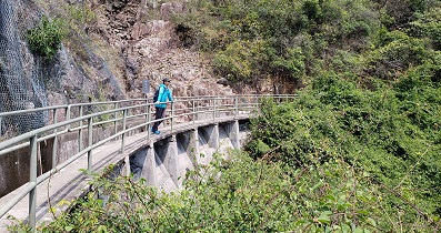
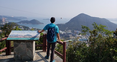
The starting point is in the middle of Peel Rise. You can go up the mountain from Peel Rise next to Yue Kwong Chuen
Official Map


