


 Recommend YouTube


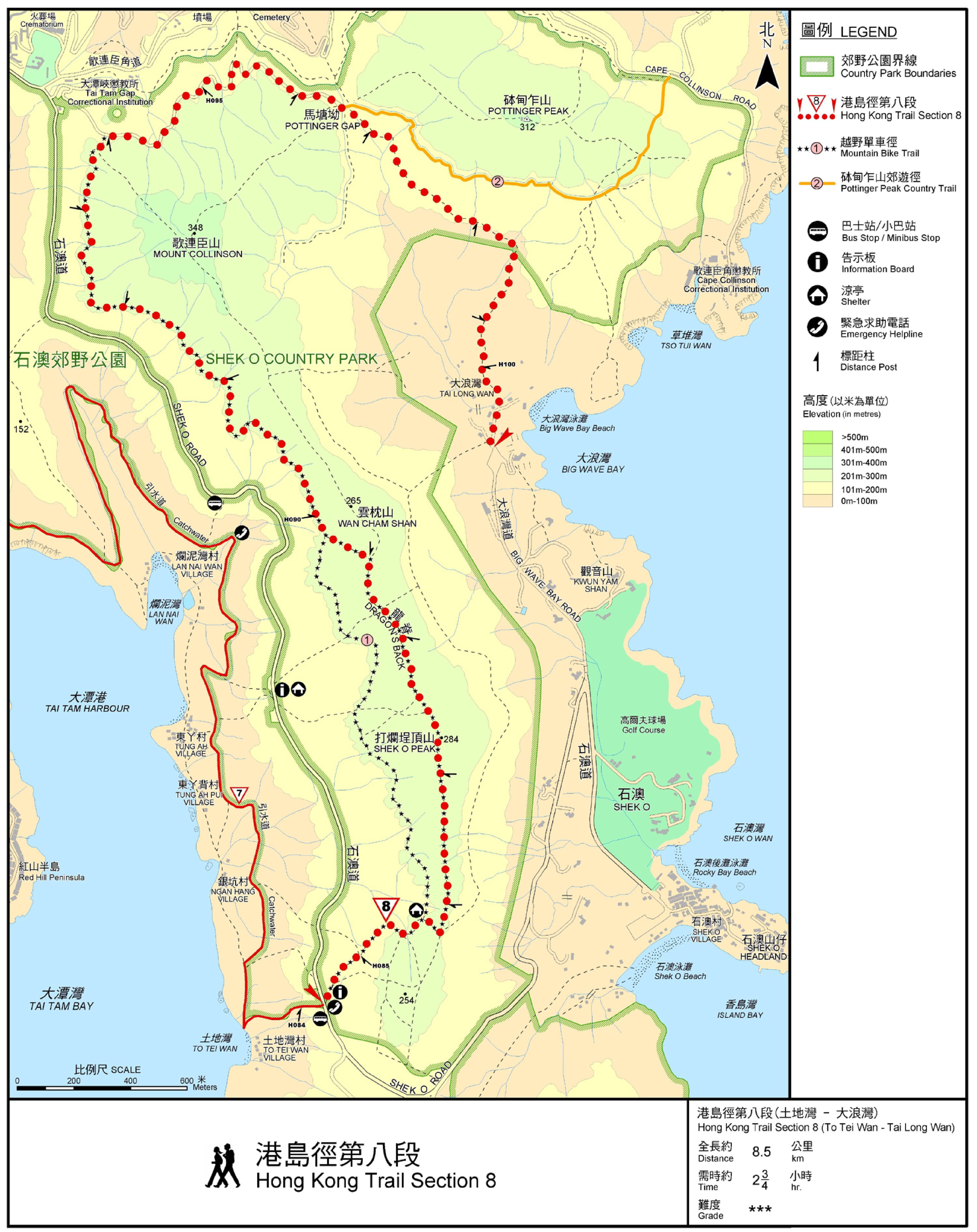
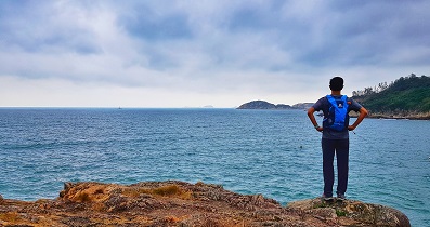
| View : |  | ||
| Difficulty : |  | ||
| Path : | |||
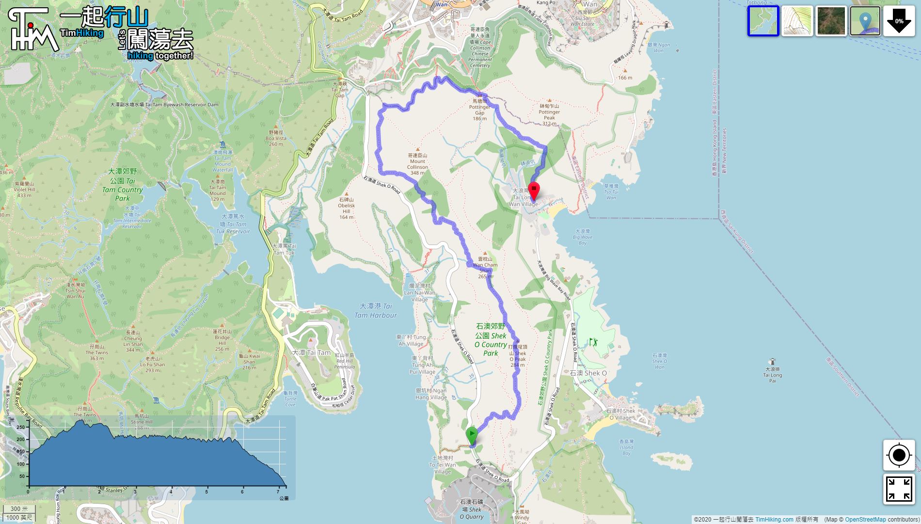
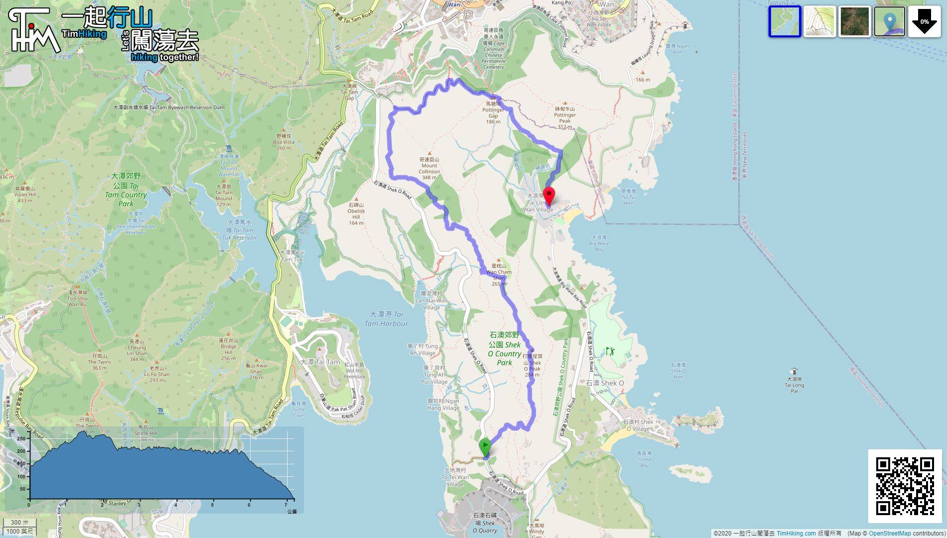
| Length : | 7.2km | ||
| Time : | 2¾hours | ||
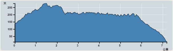 | |
| Ascent : 415m | Descent : 532m |
| Max : 277m | Min : 12m |
| (The accuracy of elevation is +/-30m) | |


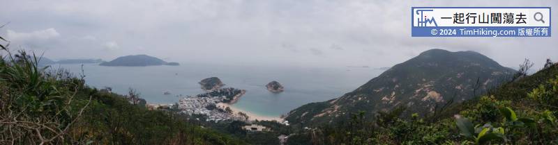
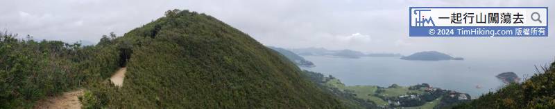
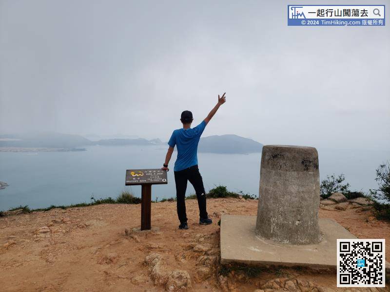
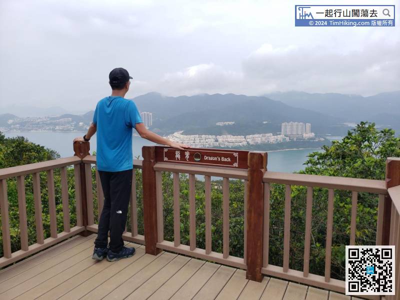
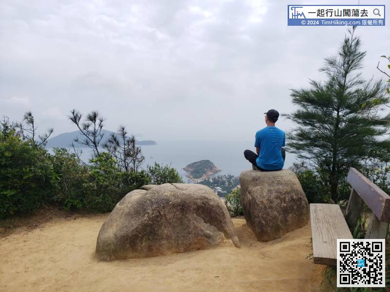
Shek O Peak is 284 meters high. There is a very fat trigonometrical station on the top of the mountain.
Official Map


