


 Recommend YouTube


| View : |  | ||
| Difficulty : |  | ||
| Path : | |||
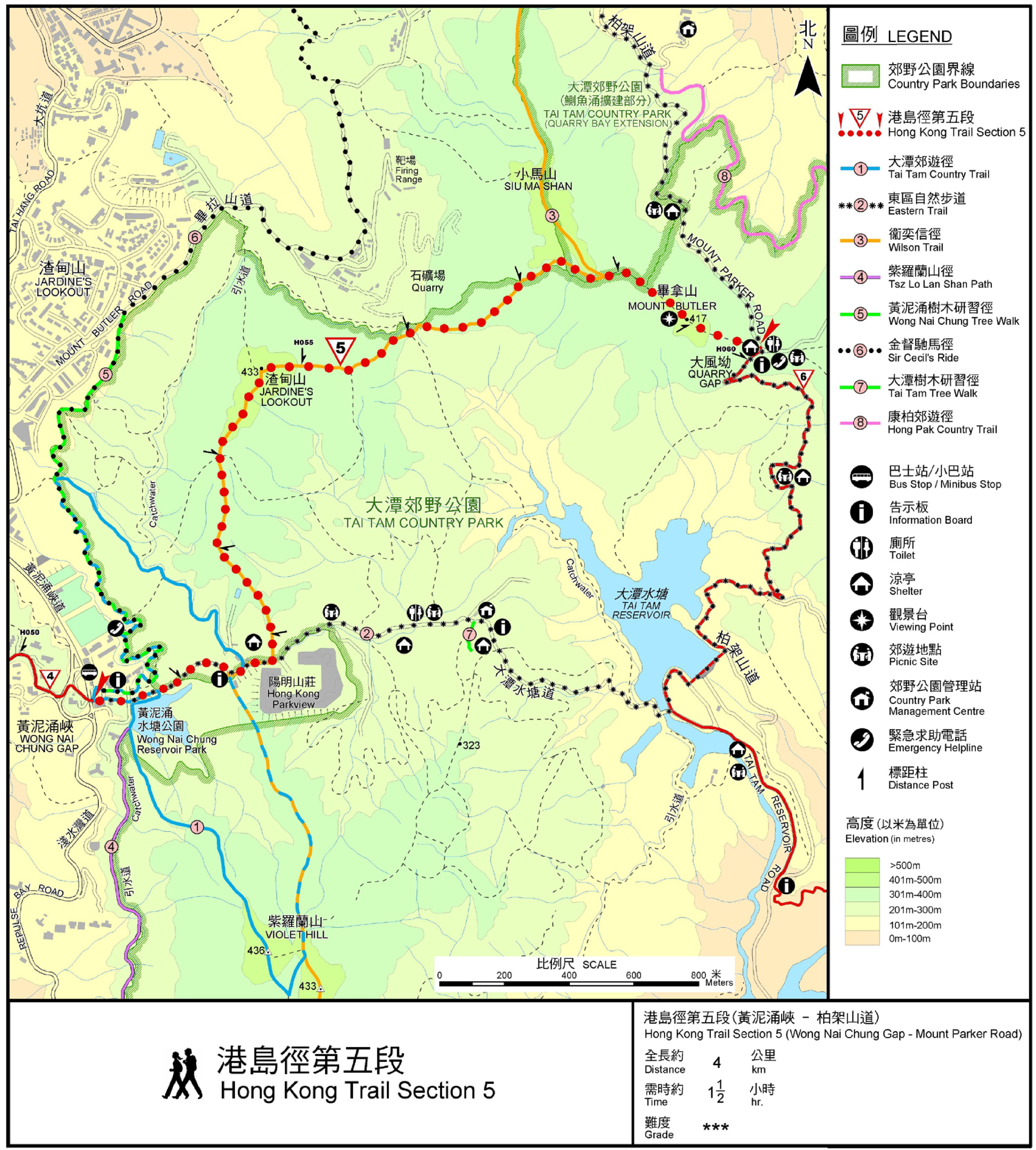
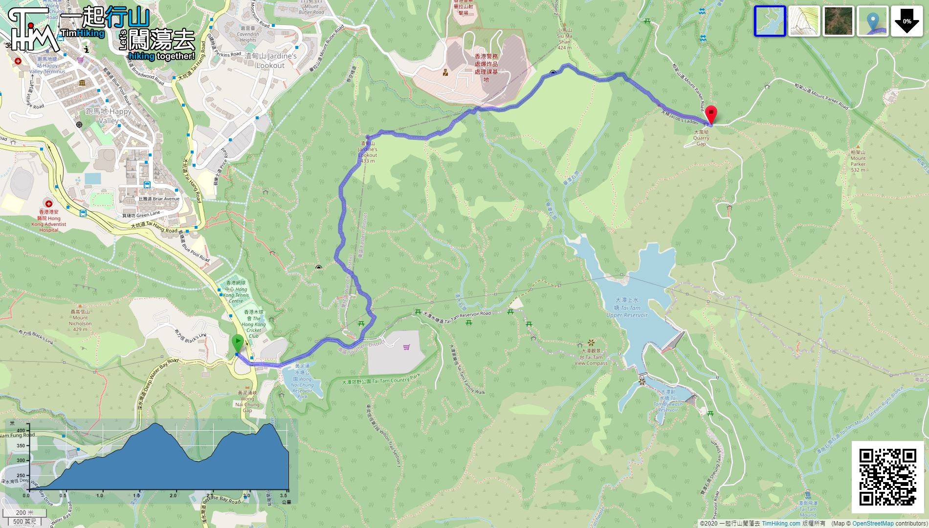
| Length : | 3.5km | ||
| Time : | 1½hours | ||
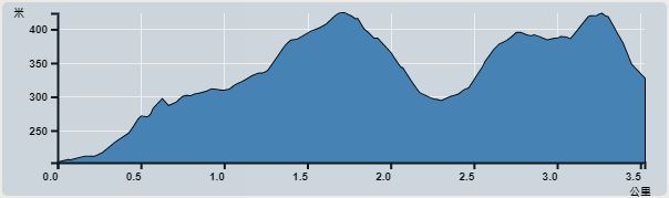 | |
| Ascent : 379m | Descent : 248m |
| Max : 424m | Min : 206m |
| (The accuracy of elevation is +/-30m) | |


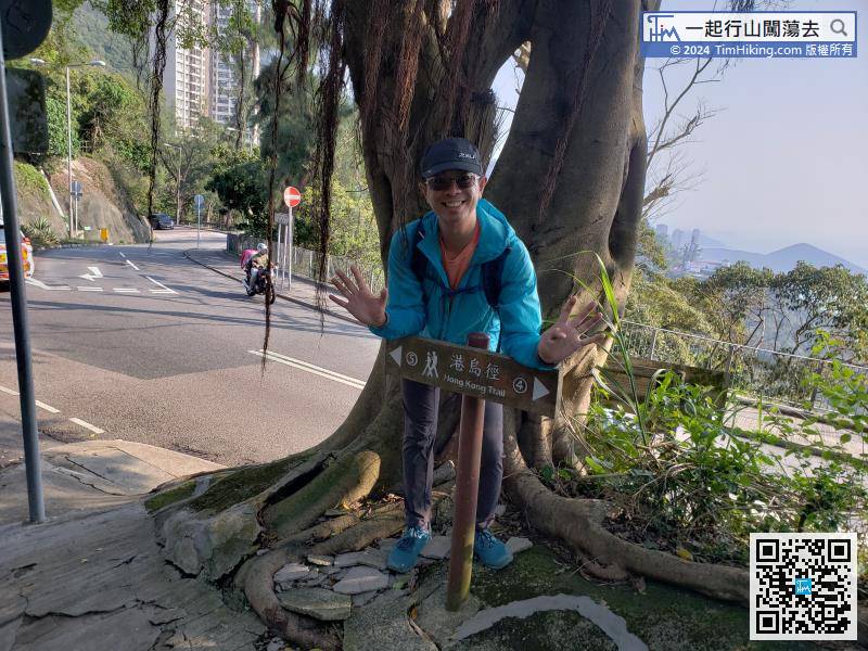
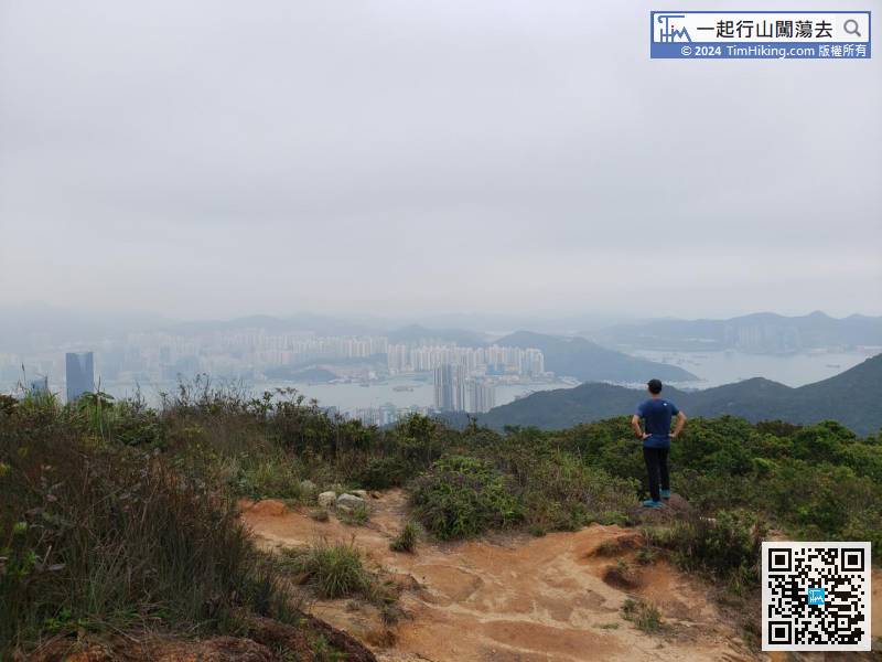
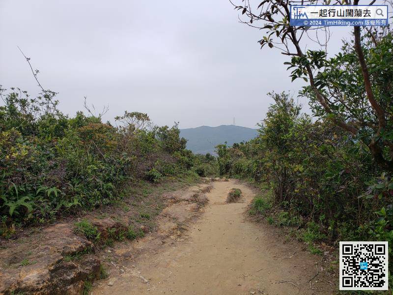
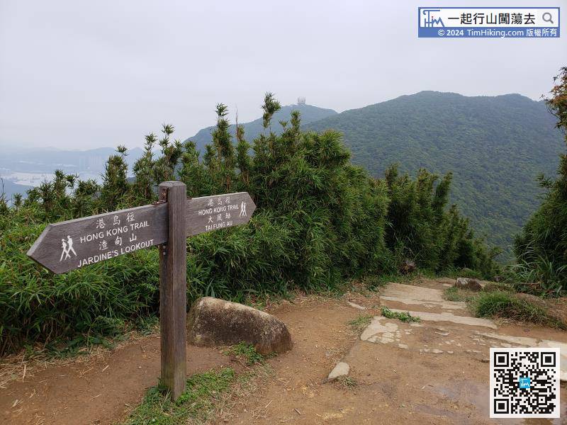
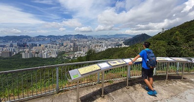
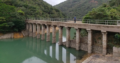
The starting point is Wong Nai Chung Gap. There are signs for the Hong Kong Trail Section 4 and 5 at the entrance of Black's Link.
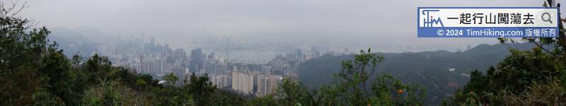
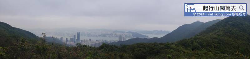
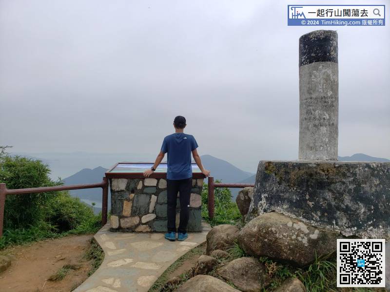
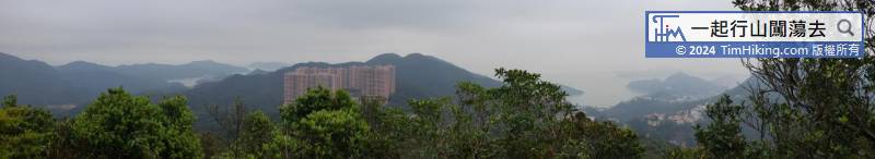
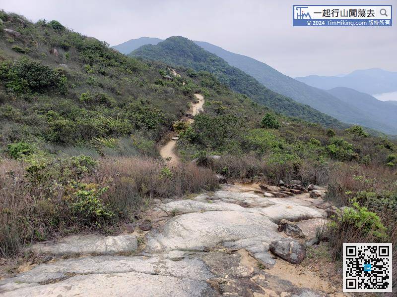
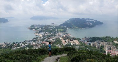
After enjoying the beautiful bustling city scenery, head to Mount Butler from the other end.
Official Map


