


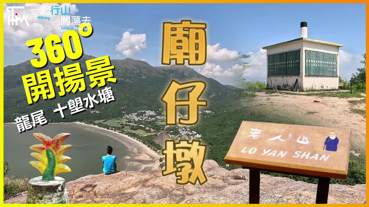
 Recommend YouTube

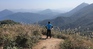
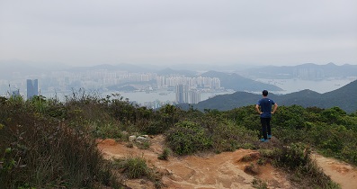
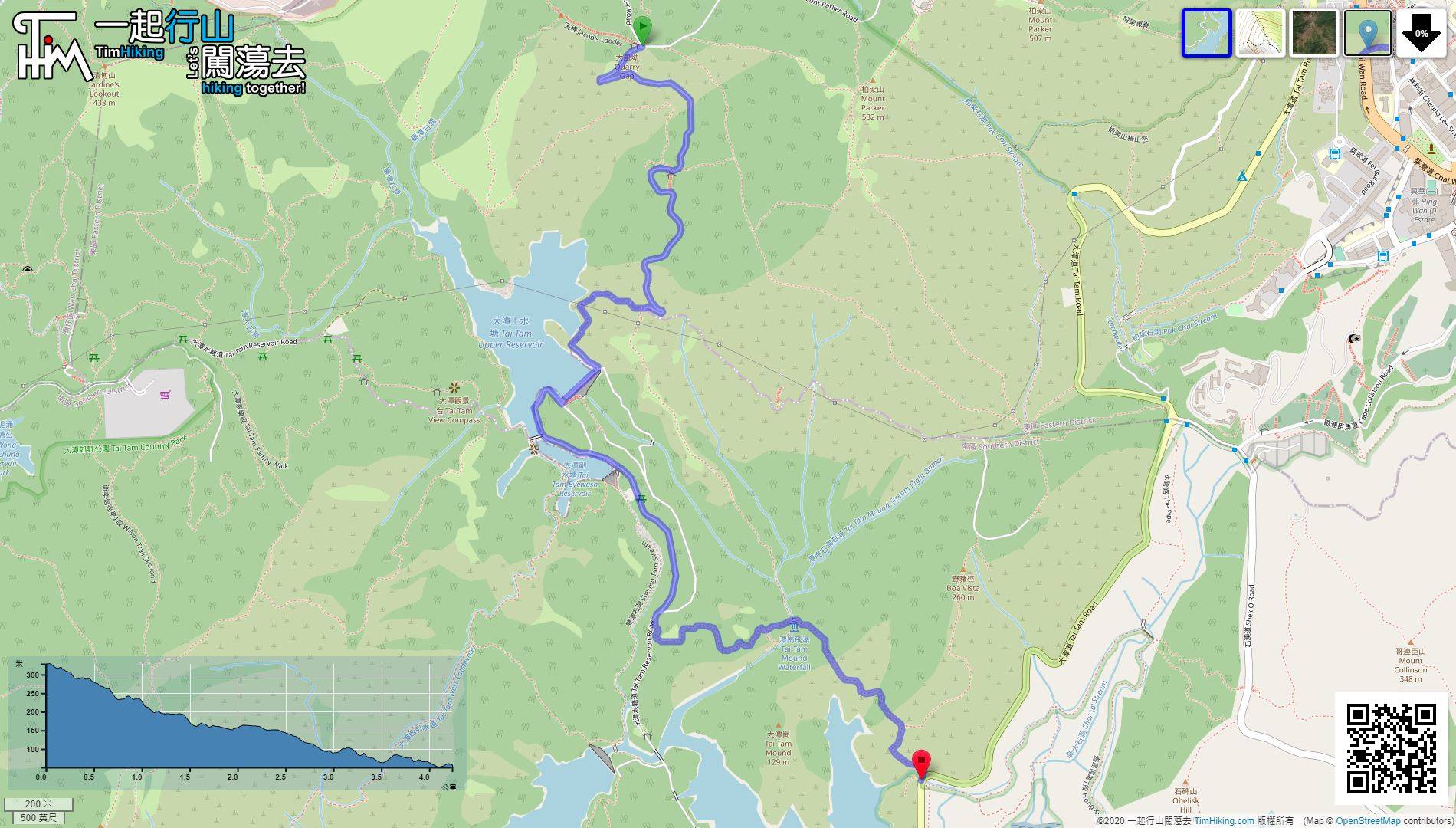
| View : |  | ||
| Difficulty : |  | ||
| Path : | |||
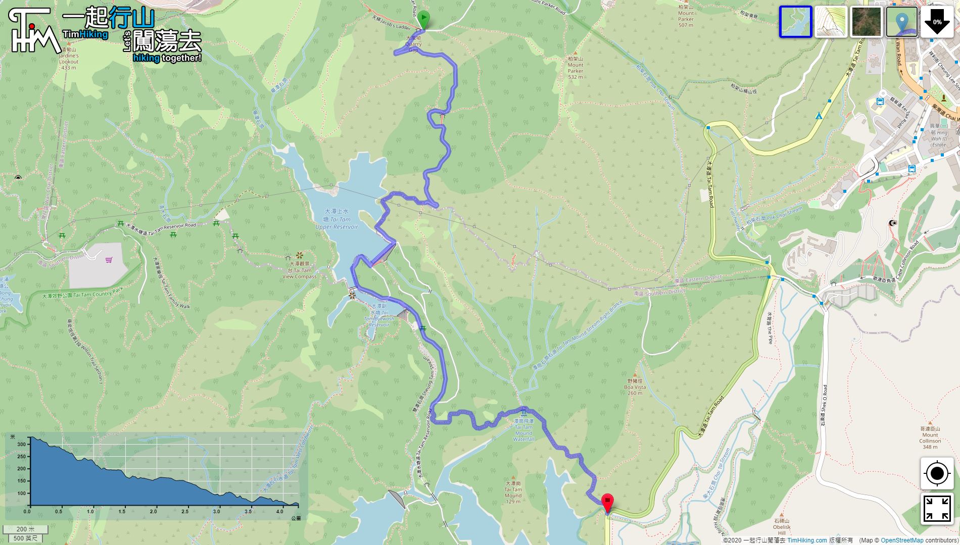
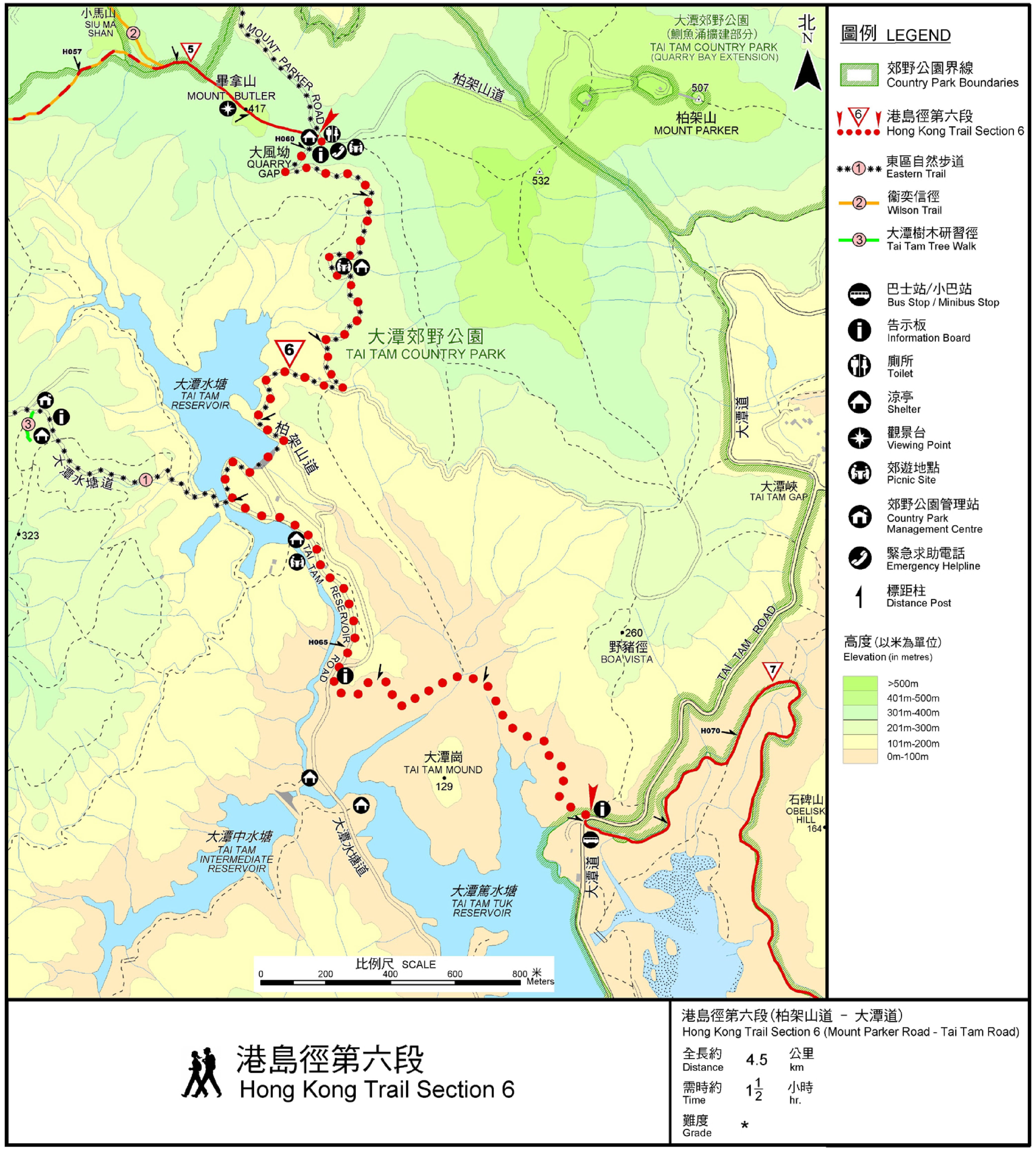
| Length : | 4.4km | ||
| Time : | 1½hours | ||
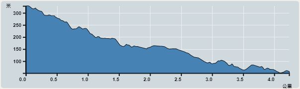 | |
| Ascent : 177m | Descent : 448m |
| Max : 328m | Min : 51m |
| (The accuracy of elevation is +/-30m) | |


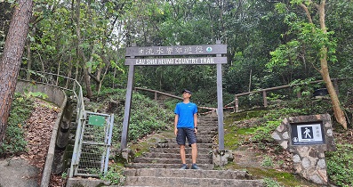
Official Map


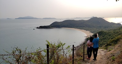
| View : | | ||
| Difficulty : | | ||
| Path : | |||
| Length : | 4.4km | ||
| Time : | 1½hours | ||
| |
| Ascent : 177m | Descent : 448m |
| Max : 328m | Min : 51m |
| (The accuracy of elevation is +/-30m) | |
Thanks a lot! Hope our hiking information is helpful to you. Everyone is happy to go hiking and safely!
Welcome to use Payme AlipayHK to sponsor Tim Sir's efforts! Continue to give selflessly for the mountain world.
Recompense to no man evil for evil. Provide things honest in the sight of all men.
Romans 12:17
一起爬山闖蕩去 | timhiking | timhiking | timhiking | Message Board | Disclaimer


