


I will lift up mine eyes unto the hills, from whence cometh my help. My help cometh from the LORD, which made heaven and earth.
Psalms 121:1-2
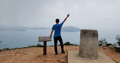
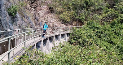
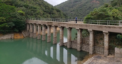
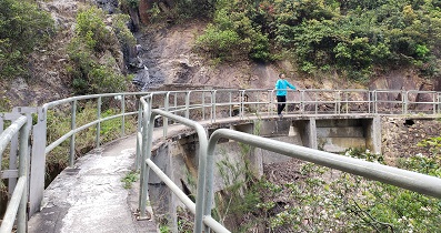
一起行山闖蕩去

TimHiking.com
TimHiking.com

Hiking Route Map
一起爬山闖蕩去 | timhiking | timhiking | timhiking | Message Board | Disclaimer