


 Recommend YouTube

| View : |  | ||
| Difficulty : |  | ||
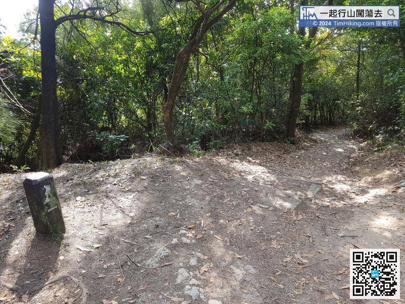
| Path : | |||
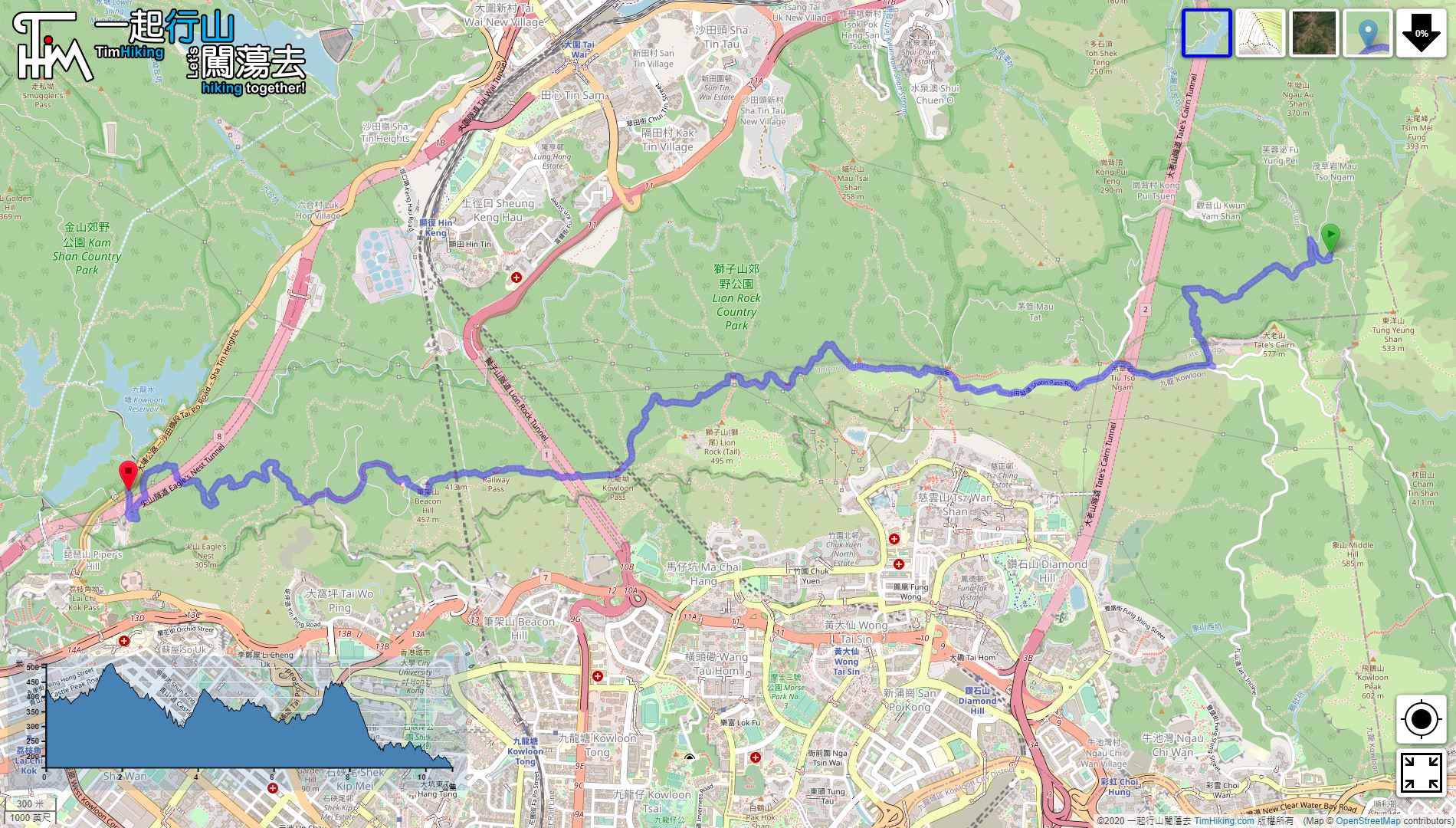
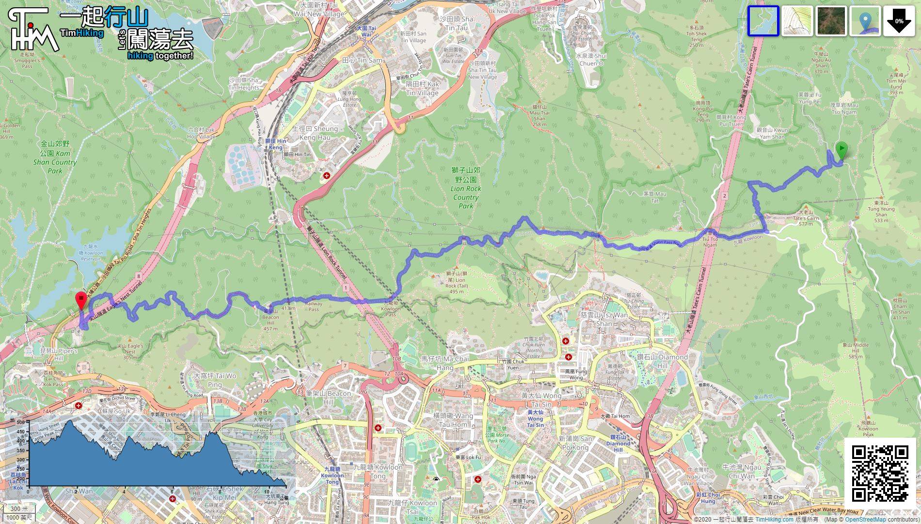
| Length : | 10.7km | ||
| Time : | 3hours | ||
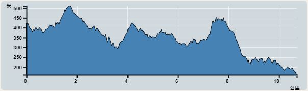 | |
| Ascent : 994m | Descent : 1,387m |
| Max : 511m | Min : 161m |
| (The accuracy of elevation is +/-30m) | |

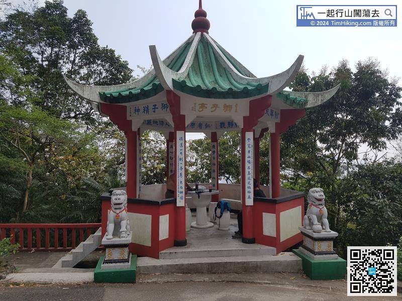
 Lion Pavilion Store
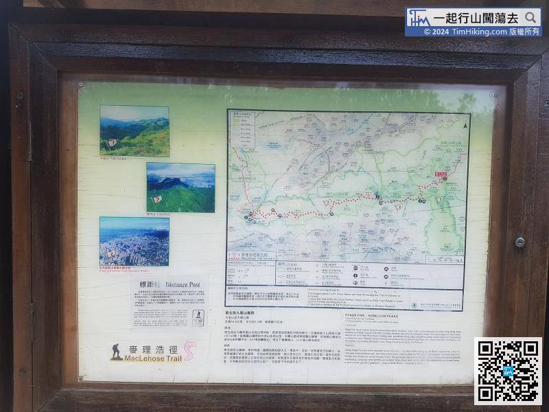
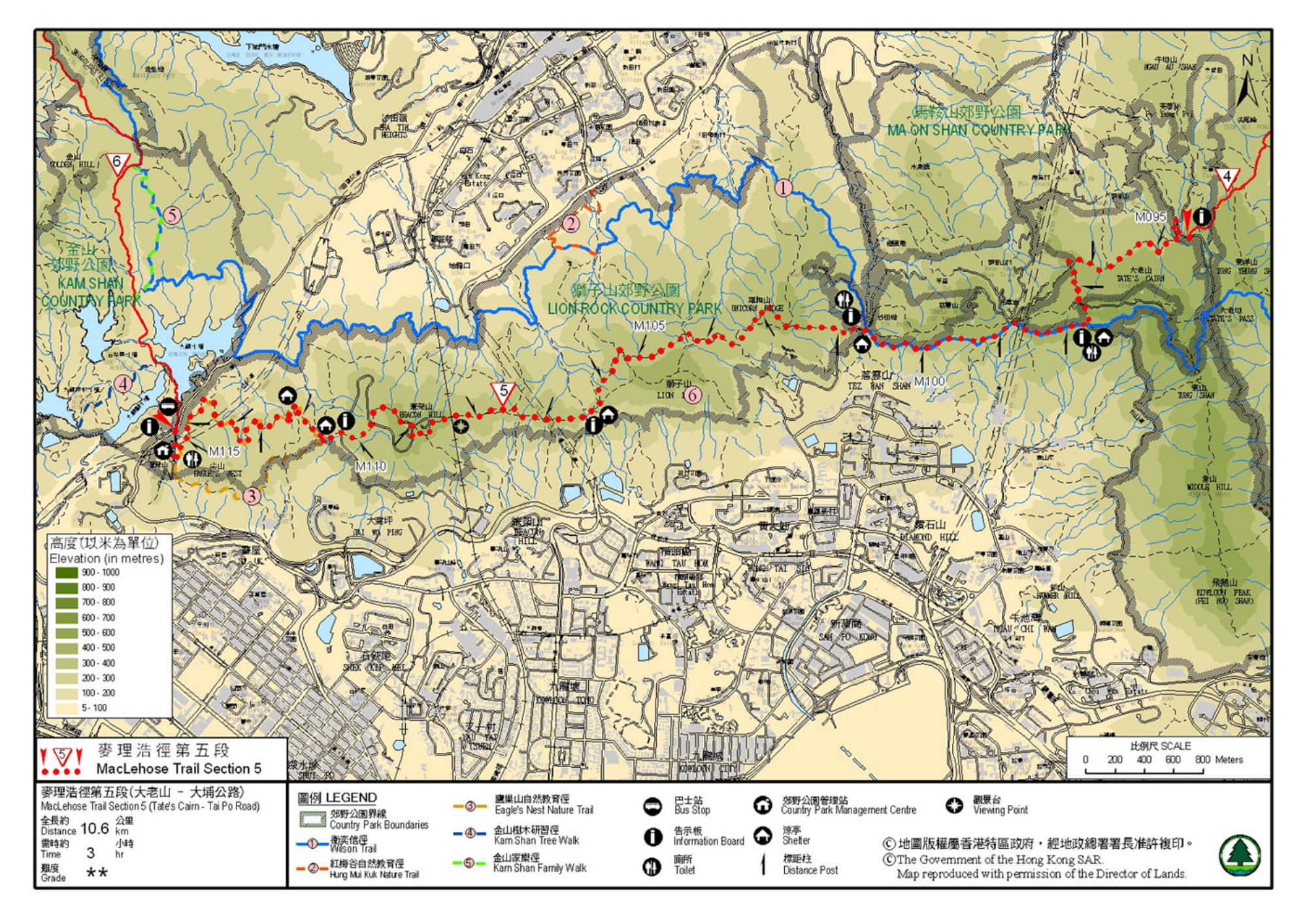
Official Map


| View : | | ||
| Difficulty : | | ||
| Path : | |||
| Length : | 10.7km | ||
| Time : | 3hours | ||
| |
| Ascent : 994m | Descent : 1,387m |
| Max : 511m | Min : 161m |
| (The accuracy of elevation is +/-30m) | |
| Polly : | 多謝你提供麥5 的路線,稍後會有其他路段分享嗎? (2018-07-26) |
會的,稍後麥徑全段也會加入。 (Tim Sir 2018-07-26) |
Thanks a lot! Hope our hiking information is helpful to you. Everyone is happy to go hiking and safely!
Welcome to use Payme AlipayHK to sponsor Tim Sir's efforts! Continue to give selflessly for the mountain world.
Peace I leave with you, my peace I give unto you: not as the world giveth, give I unto you. Let not your heart be troubled, neither let it be afraid.
John 14:27

一起爬山闖蕩去 | timhiking | timhiking | timhiking | Message Board | Disclaimer


