


 Recommend YouTube


| View : |  | ||
| Difficulty : |  | ||
| Path : | |||
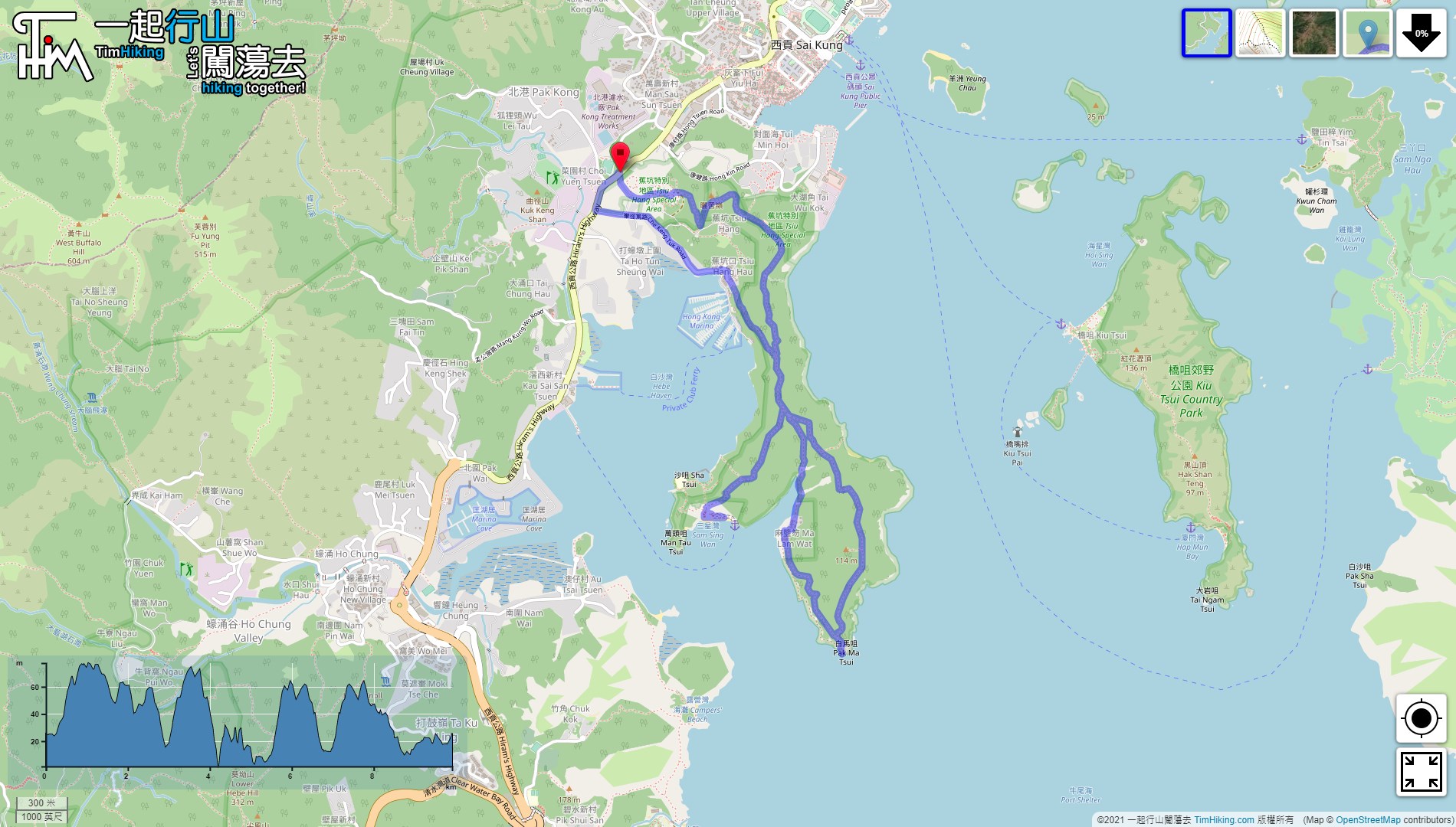
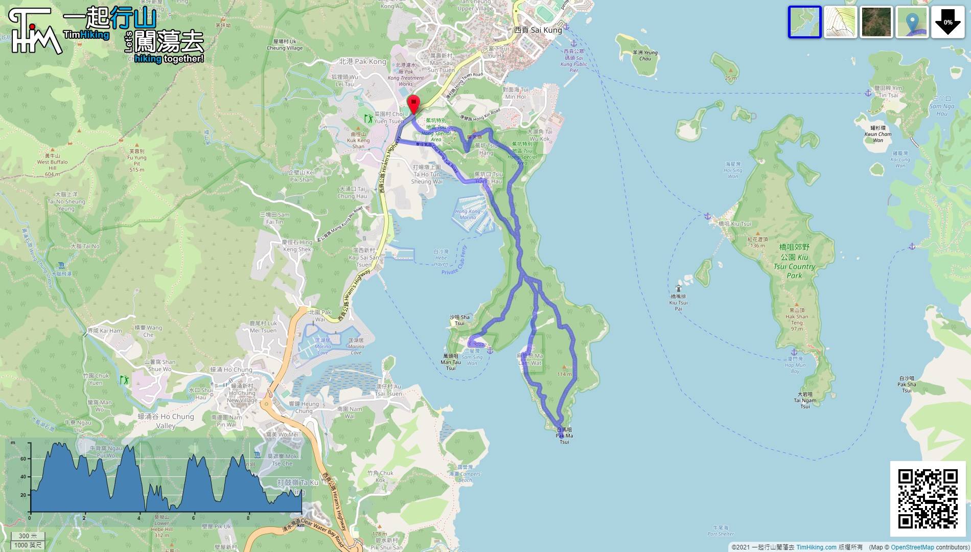
| Length : | 9.9km | ||
| Time : | 3½hours | ||
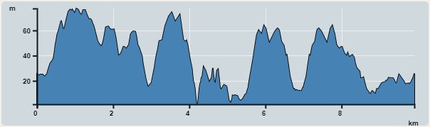 | |
| Ascent : 415m | Descent : 418m |
| Max : 77m | Min : 1m |
| (The accuracy of elevation is +/-30m) | |


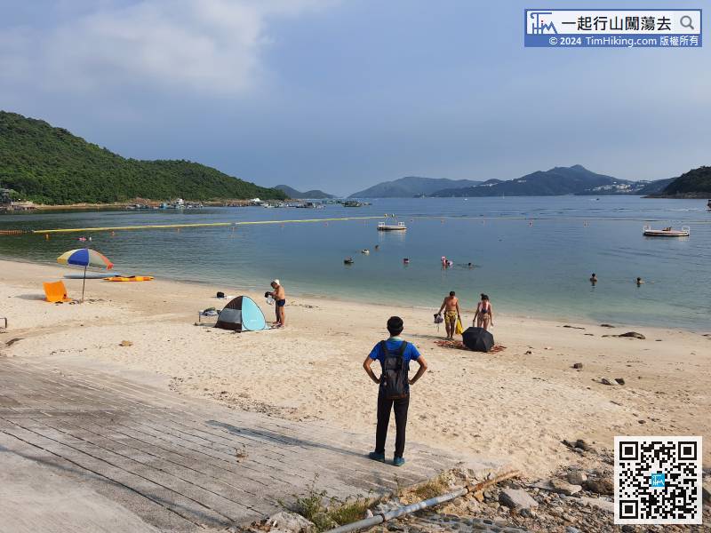
 Trio Beach
 8︰When coming to a crossroads,
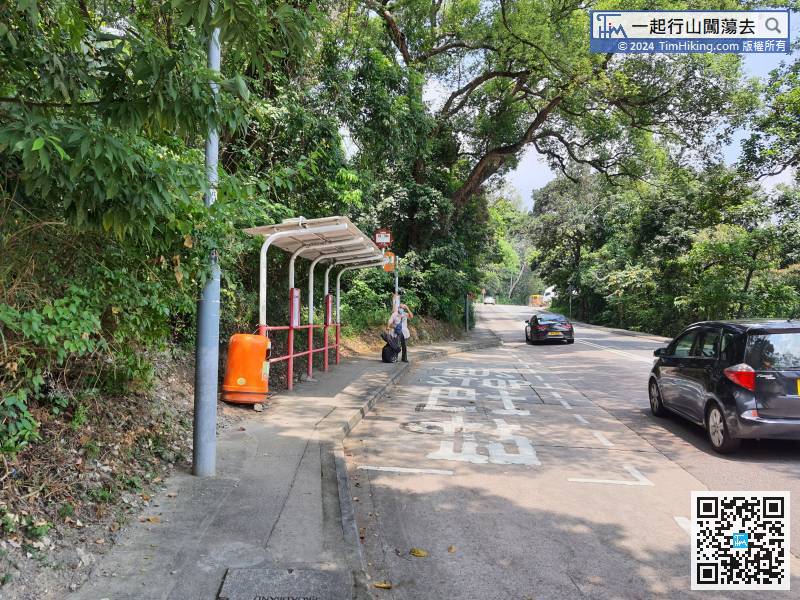
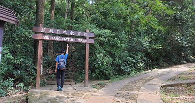
First, you can take a bus or minibus from Sai Kung, Tseung Kwan O, San Po Kong, Diamond Hill, and get off at Pak Kong.
16︰Go up the flat mountain trail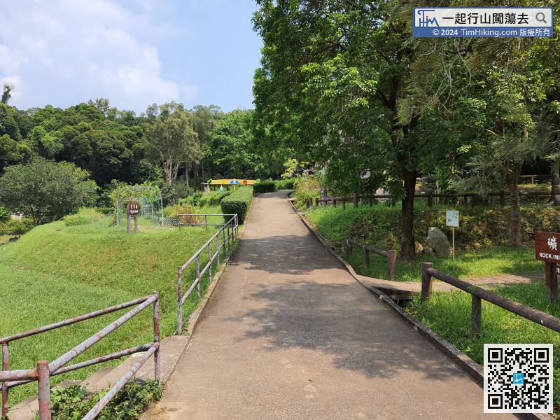 26︰and there is a large pavilion for rest in the middle.
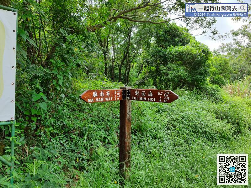 37︰When coming to the bifurcation of Tai Ngam Hau, need to pay more attention, do not go to Ma Lam Wat anymore, turn left to Tai Ngam Hau.
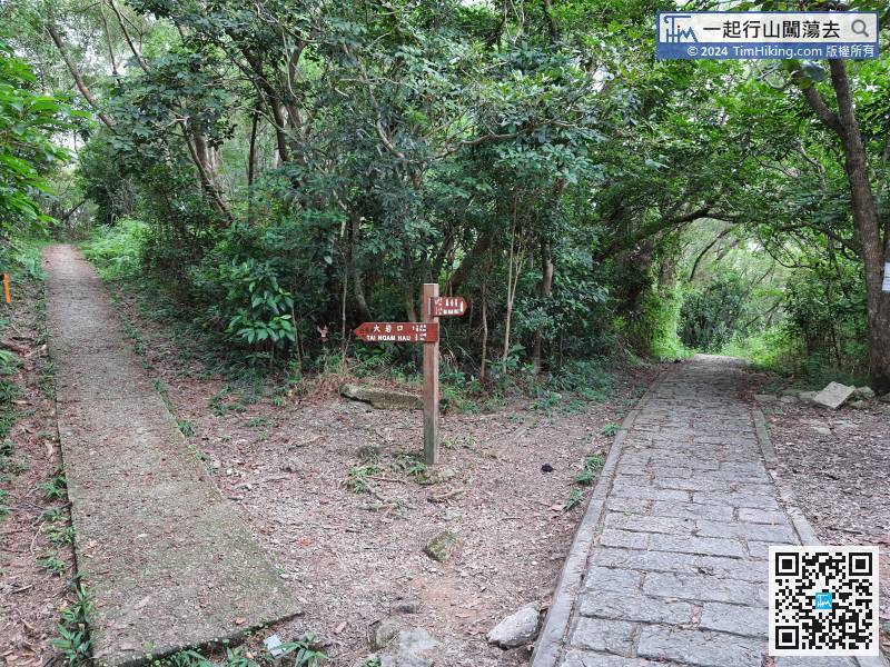
When coming to the bifurcation of Tai Ngam Hau, need to pay more attention, do not go to Ma Lam Wat anymore, turn left to Tai Ngam Hau.
52︰On the right, pay attention to the barren trail, which is the trail to Ma Lam Wat later.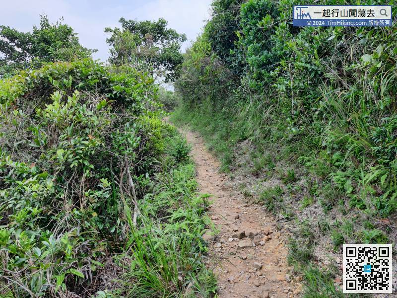
Next walk through the east of the Ma Lam Wat peninsula to Tai Ngam Hau in the south.
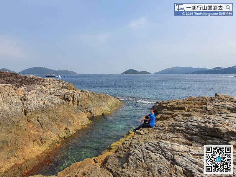
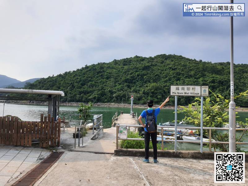
55︰Pak Ma Tsui is a beautiful rocky shore,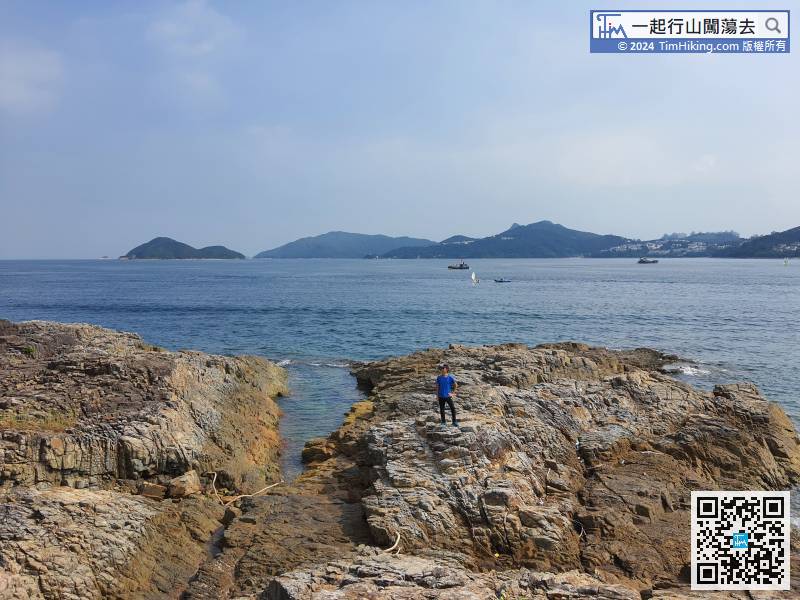 73︰After a short walk, come to the pier of Ma Lam Wat Village.
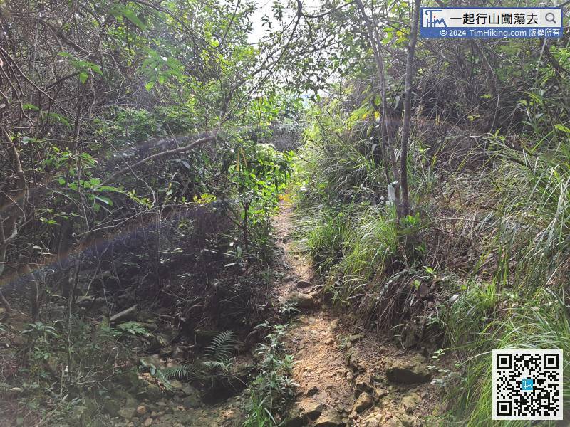
The trail after this section is clearer than the previous section.
83︰turn in at the fork not far ahead.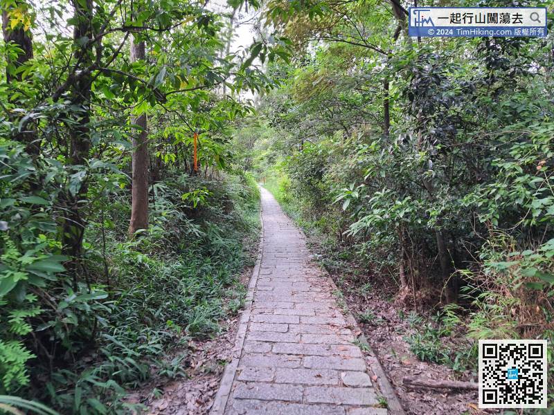 104︰but do not have to climb the steps anymore,


