


 Recommend YouTube


| View : |  | ||
| Difficulty : |  | ||
| Path : | |||
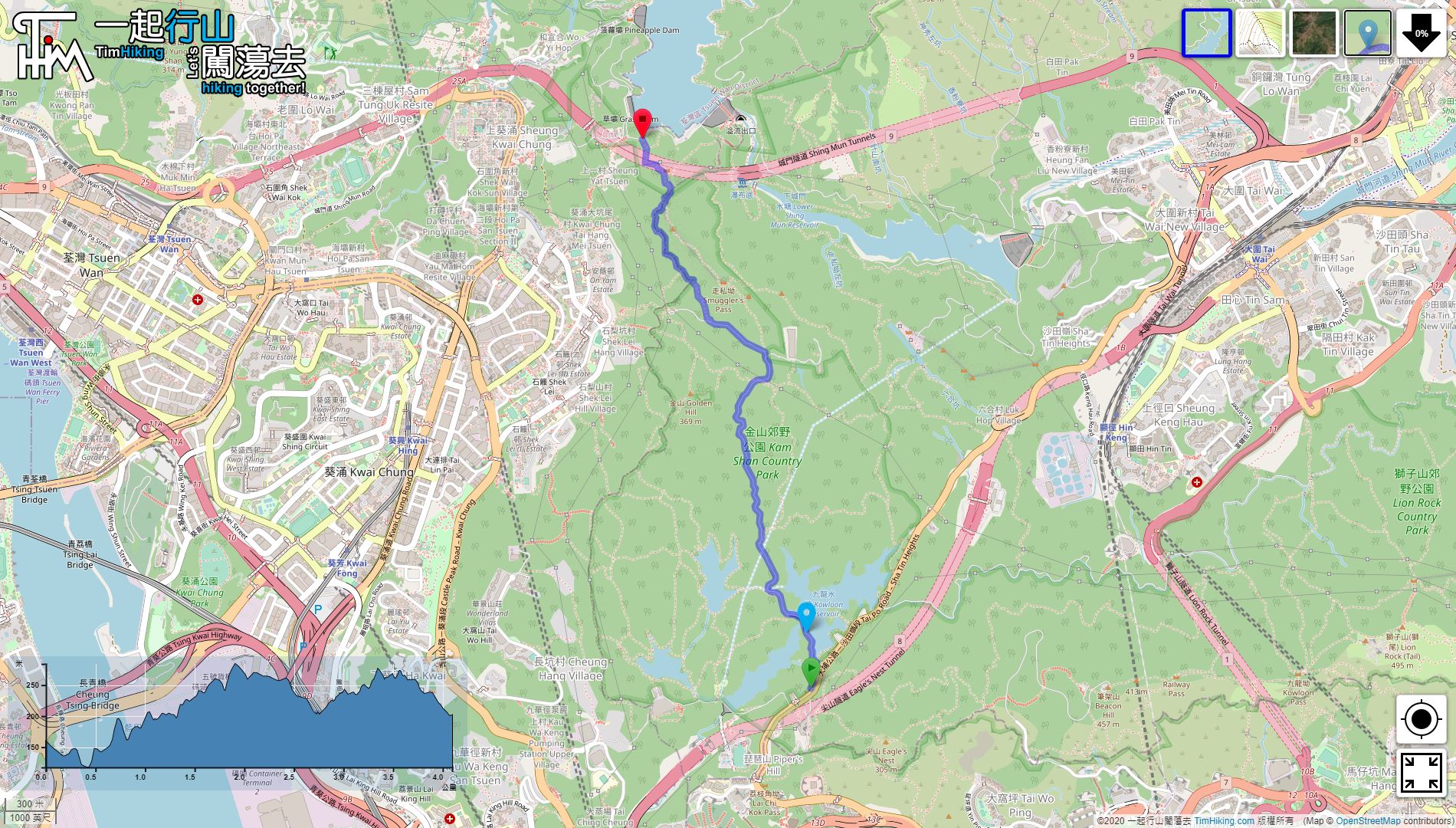
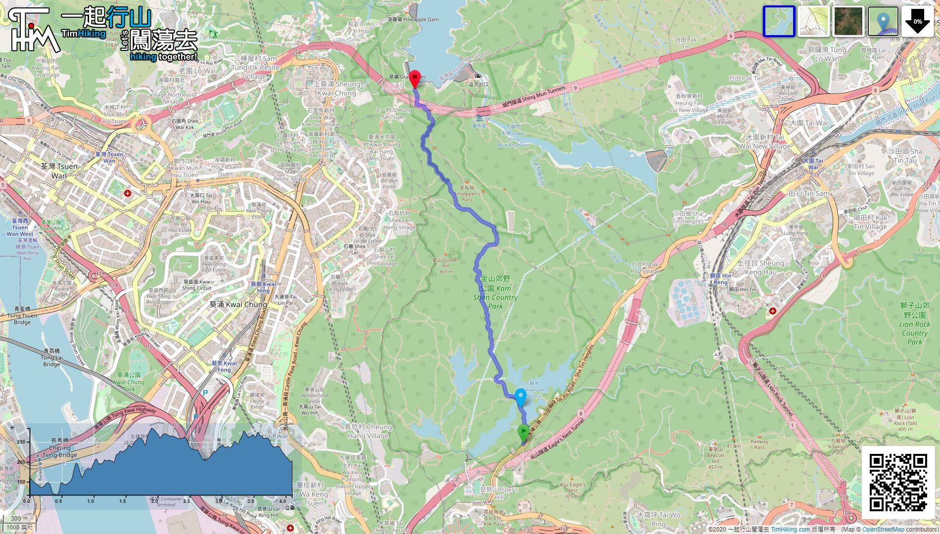
| Length : | 4.1km | ||
| Time : | 1½hours | ||
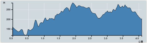 | |
| Ascent : 406m | Descent : 357m |
| Max : 284m | Min : 117m |
| (The accuracy of elevation is +/-30m) | |


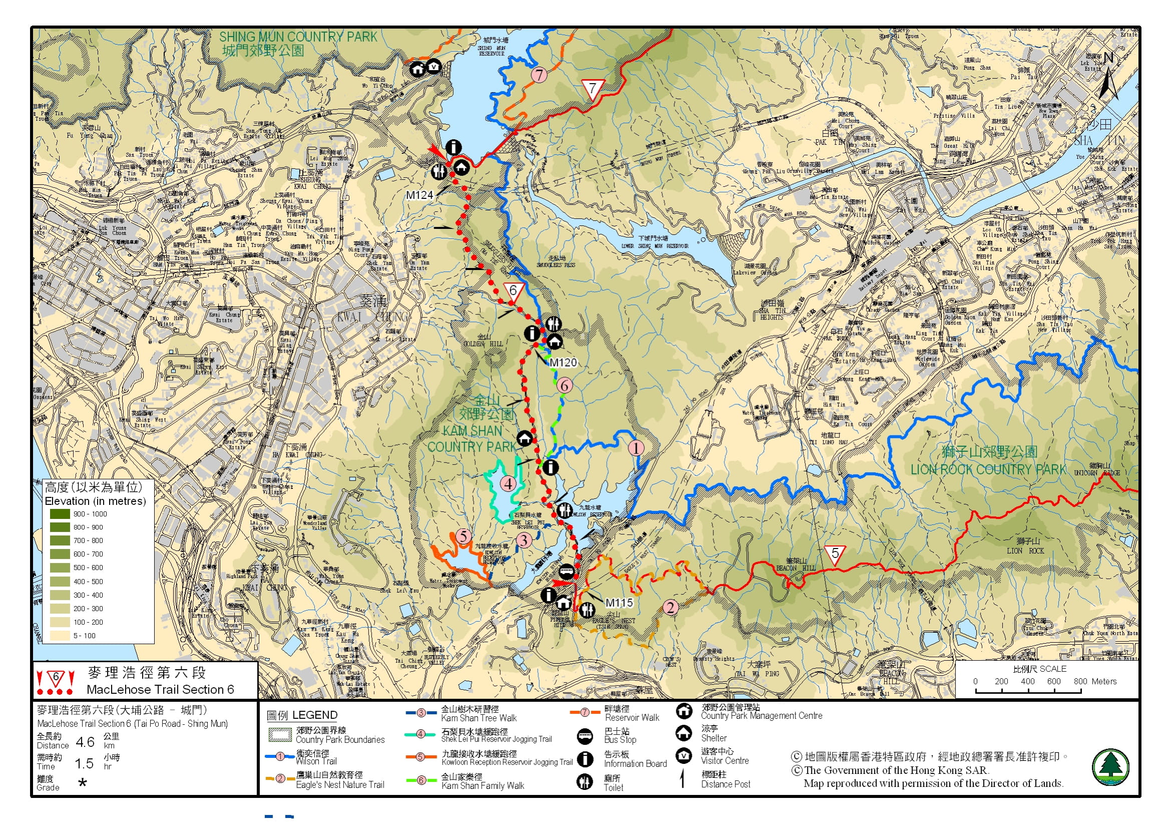
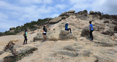
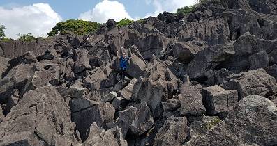
After walking for about 45 minutes, come to a fork. There is a sloping road on the right of Golden Hill Family Trail, and the road on the left is the MacLehose Trail.

It is convenient to leave at MacLehose Trail (Section 6). Just turn left towards Shing Mun Reservoir Dam and go for 1 km. You will find the minibus stop 82 towards Tsuen Wan Shiu Wo Street.
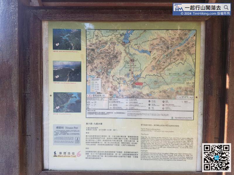
Official Map


