


 Recommend YouTube


| View : |  | ||
| Difficulty : |  | ||
| Path : | |||
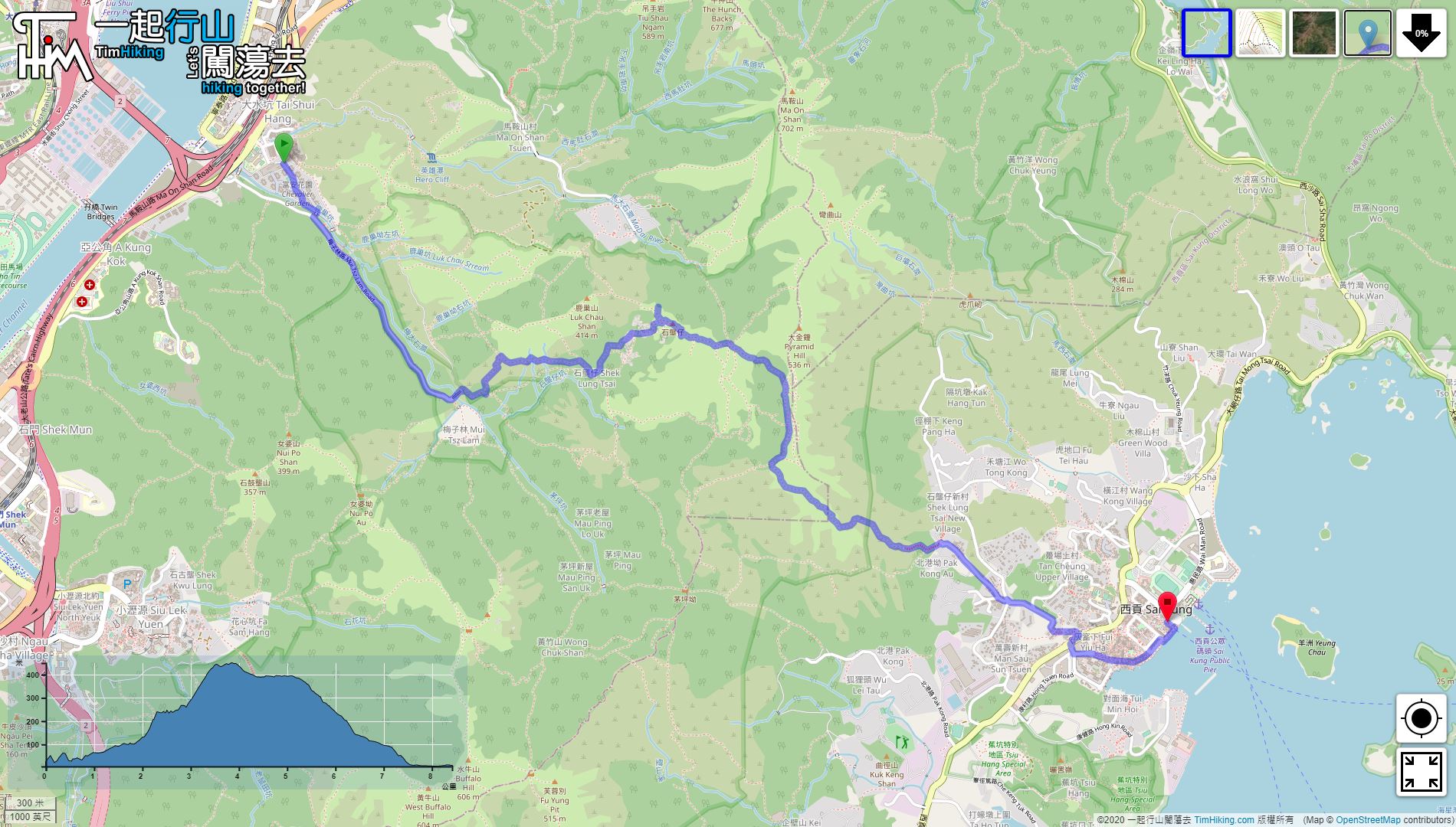
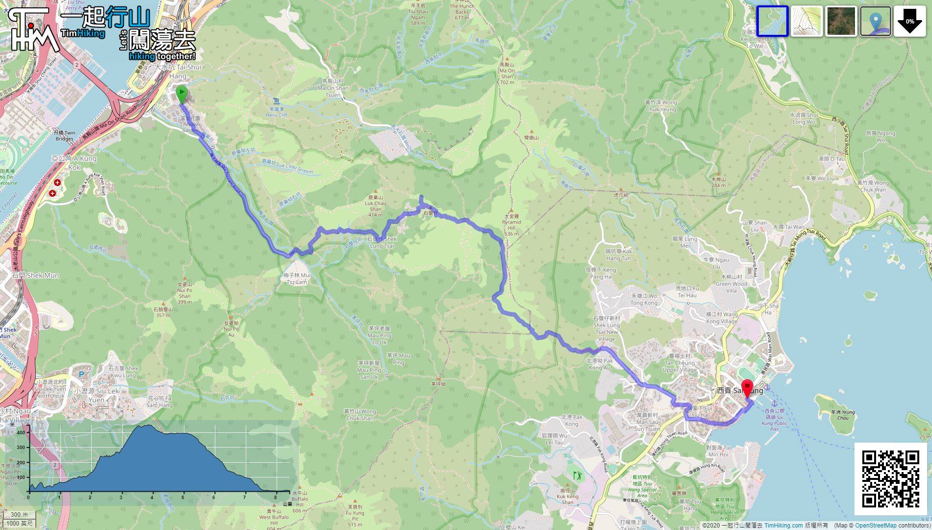
| Length : | 8.4km | ||
| Time : | 4hours | ||
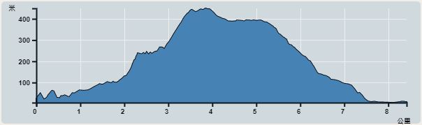 | |
| Ascent : 564m | Descent : 584m |
| Max : 449m | Min : 5m |
| (The accuracy of elevation is +/-30m) | |
 大量攀爬 新手不易

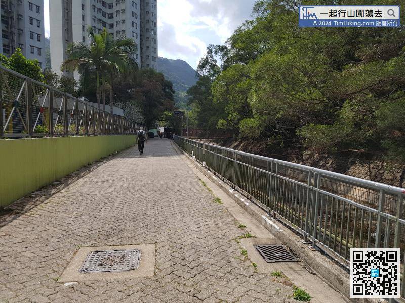
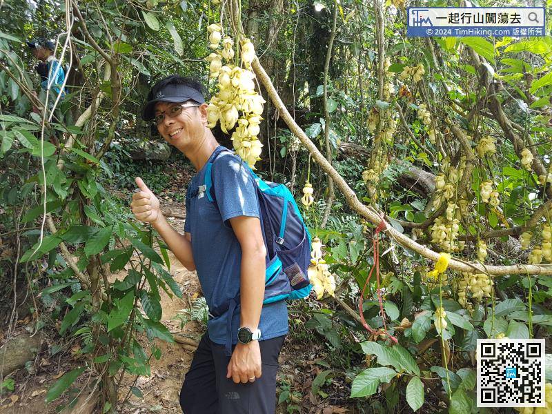
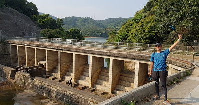
Passing through Ng Family Ancestral Hall, it was surprising to see Birdwood's Mucuna.
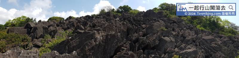
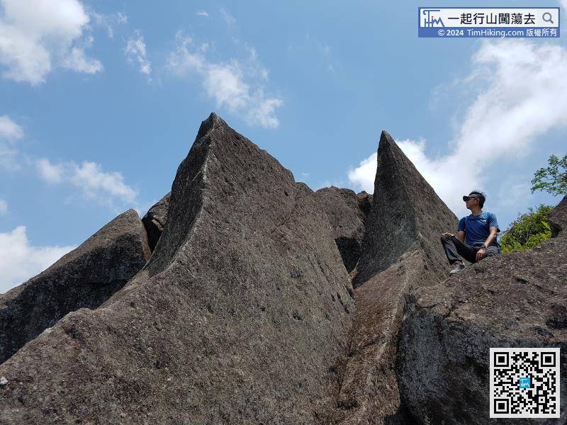
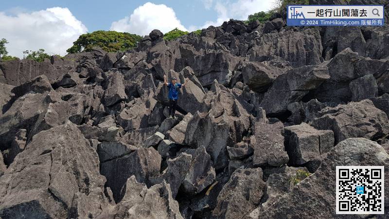
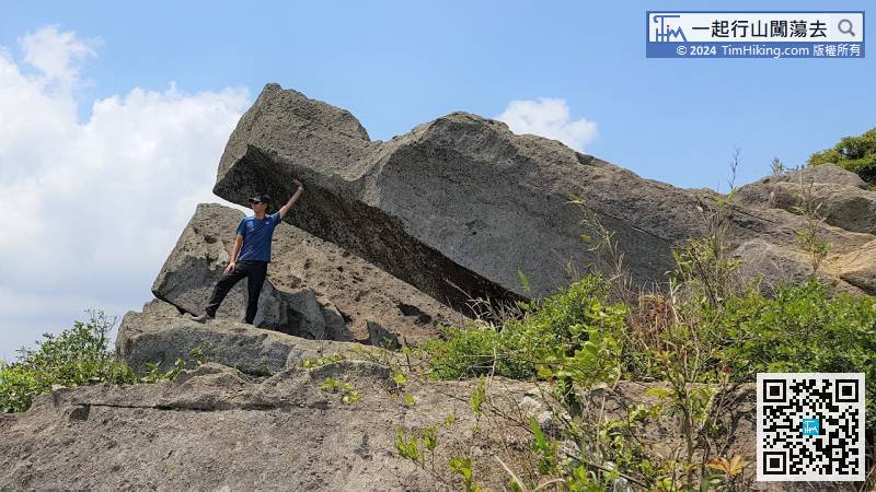
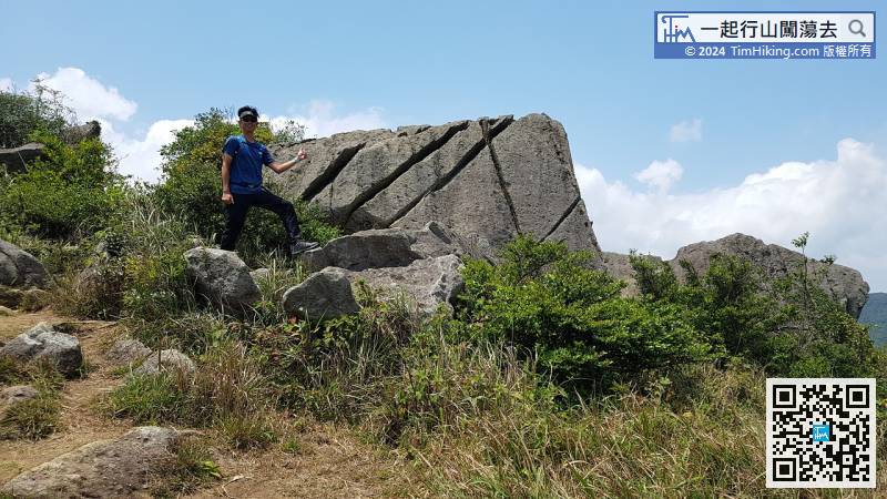
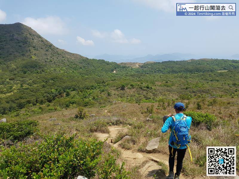
After entering the stone forest, will see a very sharp boulder on the left-hand side immediately, which is very eye-catching.
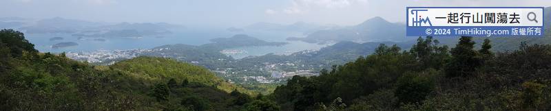
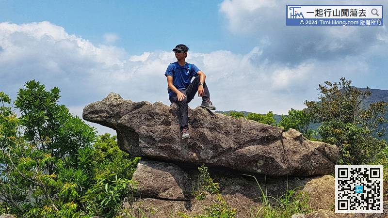
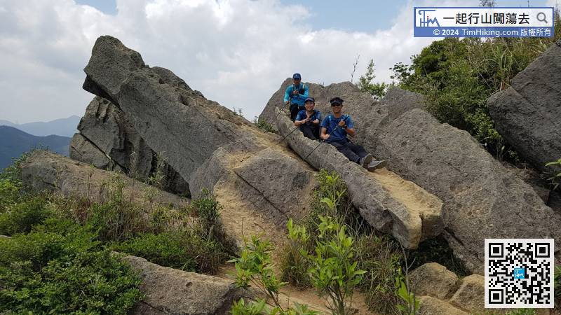
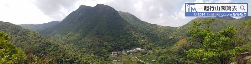
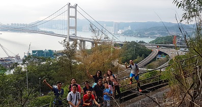
Looking down at the stone forest, the mountain trail that seeing is the MacLehose Trail (Section 4), and can see the Ngong Ping Plain clearly.


