


 Recommend YouTube


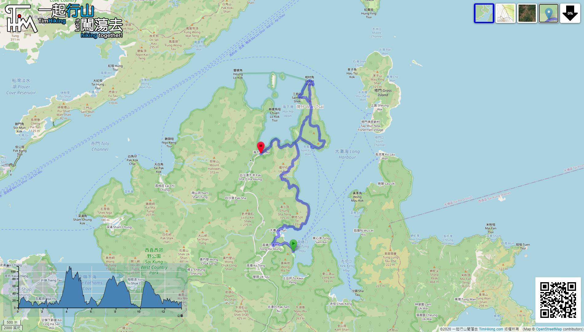
| View : |  | ||
| Difficulty : |  | ||
| Path : | |||
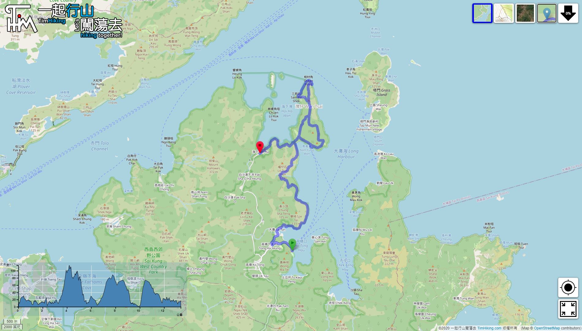
| Length : | 13.4km | ||
| Time : | 7hours | ||
| 【 Wan Tsai South Campsite, Wan Tsai West Campsite 】 | |||
| Toilet : | Flushing Toilet, Bathing, | ||
| Water : | Tap | ||
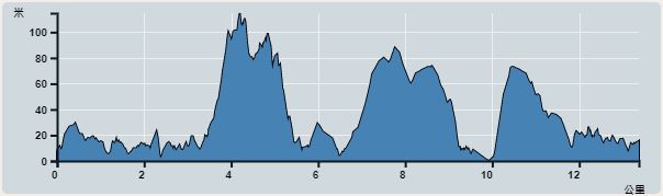 | |
| Ascent : 595m | Descent : 581m |
| Max : 115m | Min : 0m |
| (The accuracy of elevation is +/-30m) | |


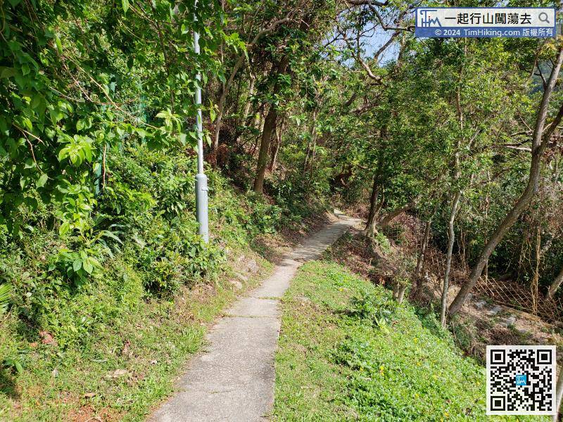
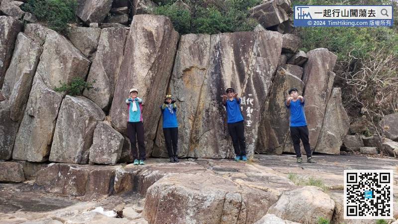
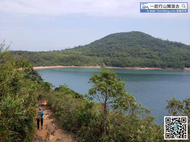
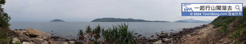
Now, connect to the Tai Tan Country Trail, the rest of the roads are all along the beach,
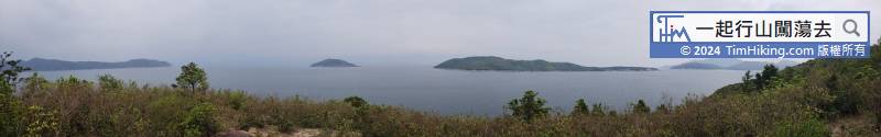
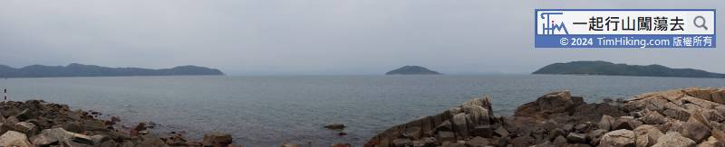
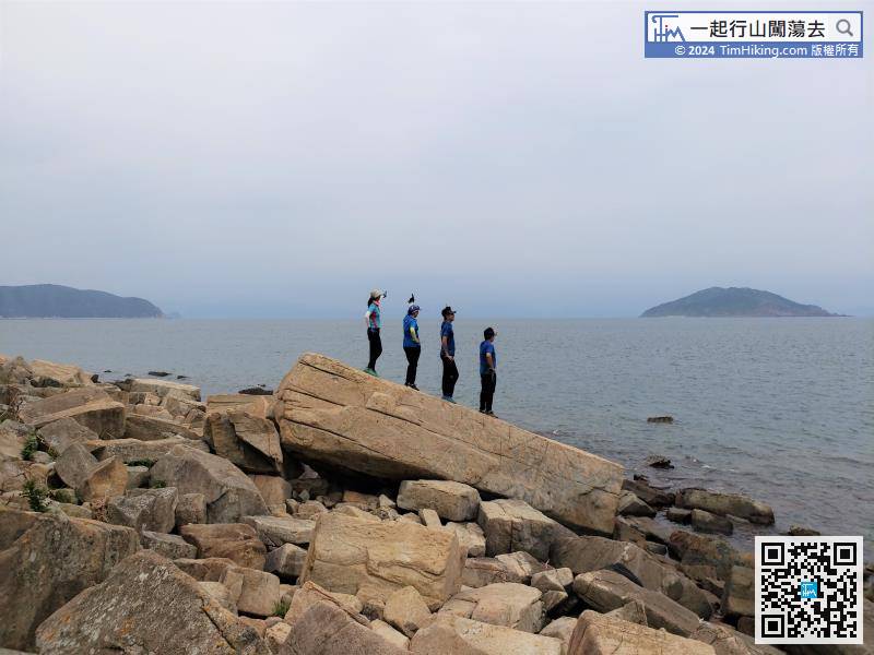
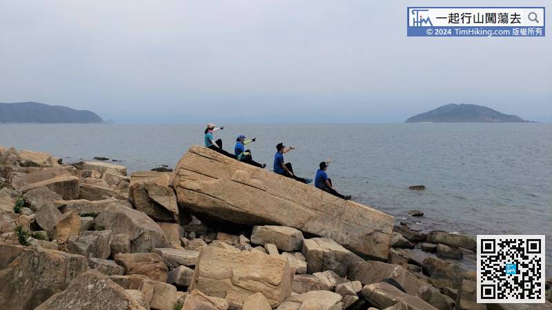
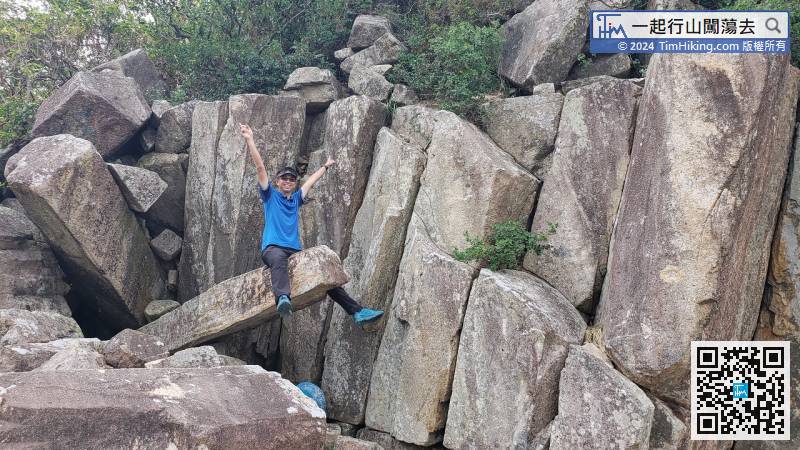
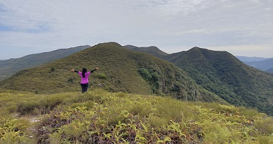
At that moment, already see large and small Coffin Rocks on the left, the largest of which is right in front,


