


 Recommend YouTube


| View : |  | ||
| Difficulty : |  | ||
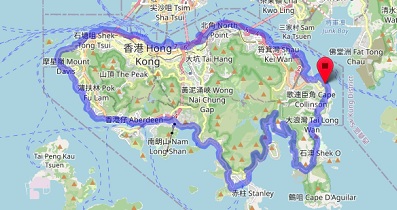
| Path : | |||
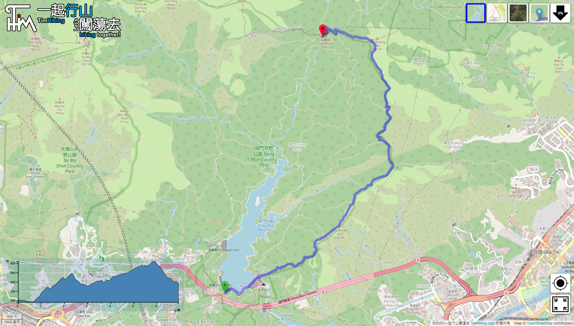
| Length : | 7km | ||
| Time : | 3hours | ||
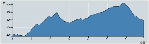 | |
| Ascent : 736m | Descent : 552m |
| Max : 622m | Min : 180m |
| (The accuracy of elevation is +/-30m) | |


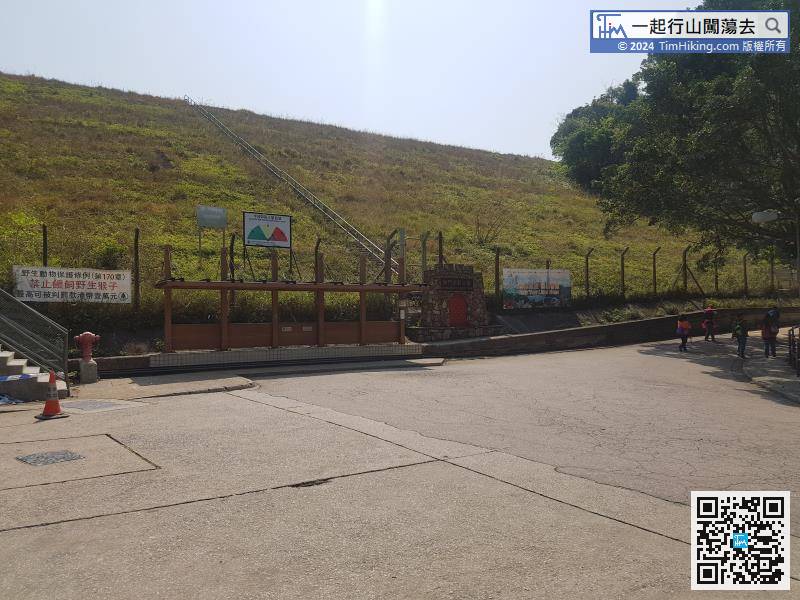
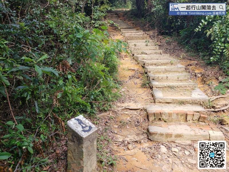
The closest way to Shing Mun Reservoir is to take minibus 82 at Tsuen Wan Chuen Lung Street and get off at the terminus.
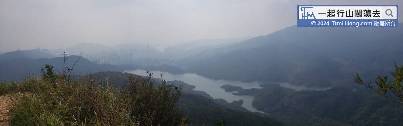
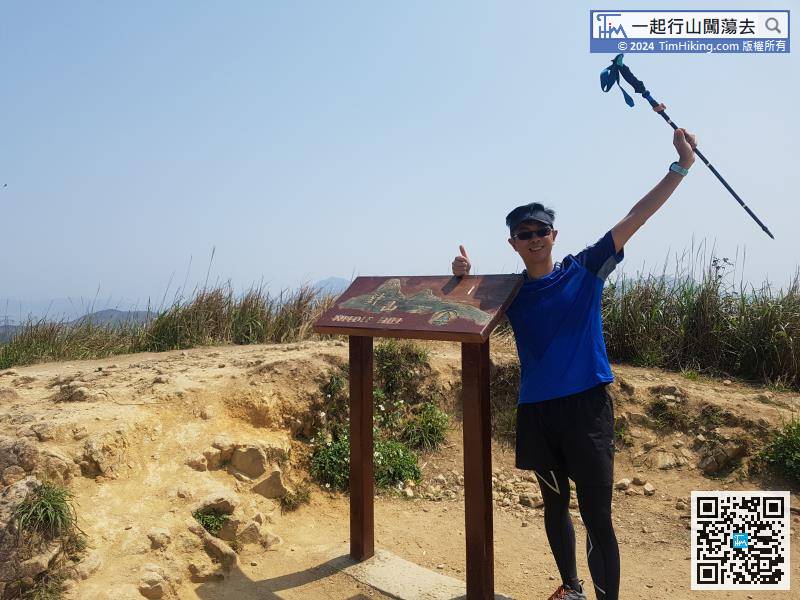
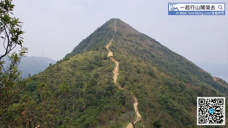
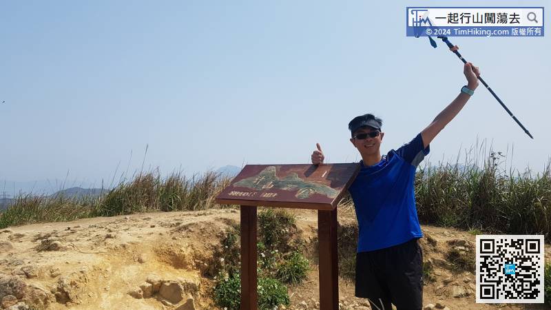
Needle Hill is 532 meters high. There is a trigonometrical station on the top of the hill and also a nameplate.
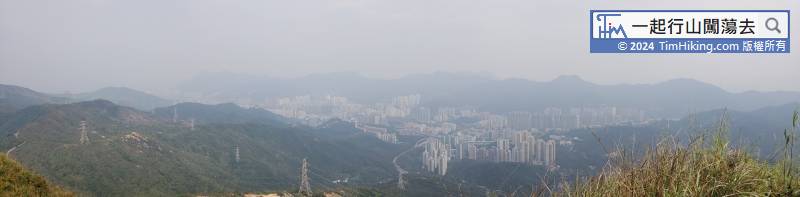
Keep going and head towards Grassy Hill. It is about 3km away.
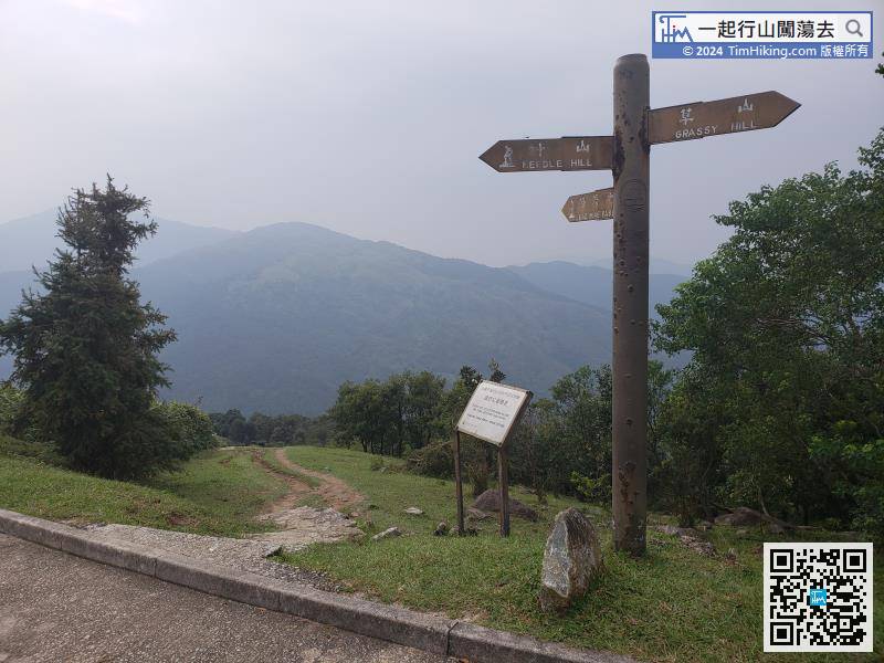
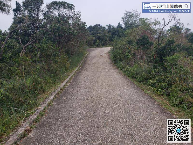
At the top of Grassy Hill, turn left and start downhill to the Lead Mine Pass.
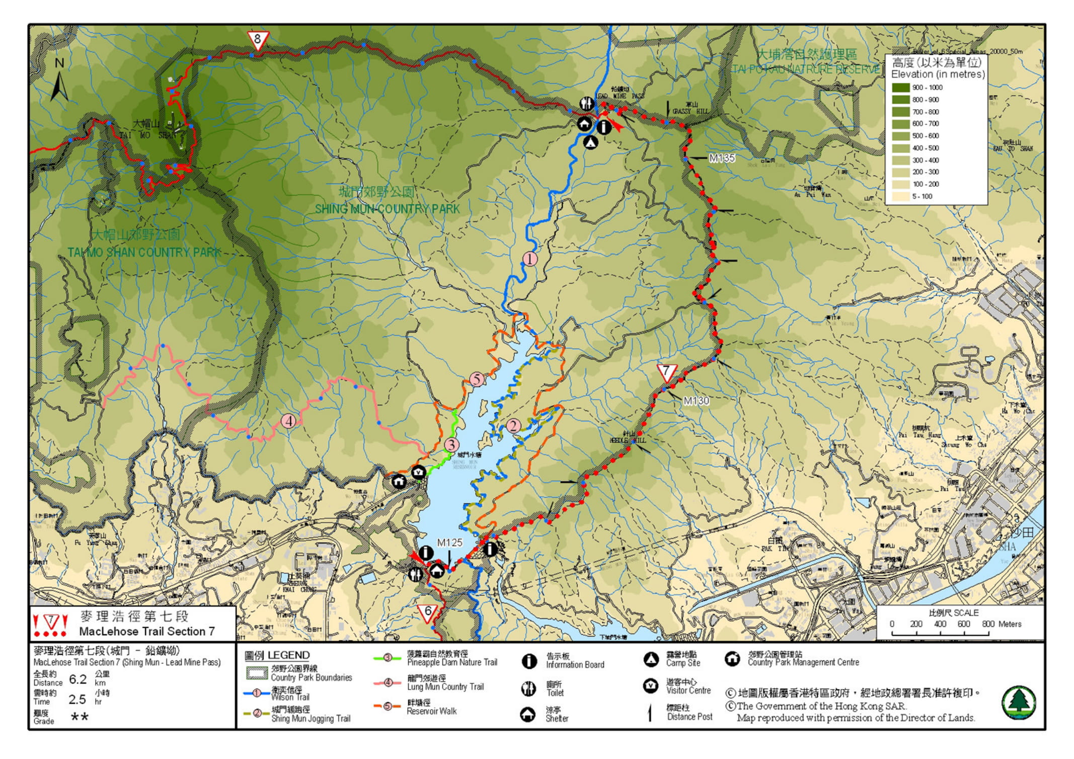
Official Map


