


 Recommend YouTube


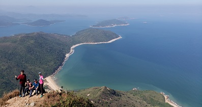
| View : |  | ||
| Difficulty : |  | ||
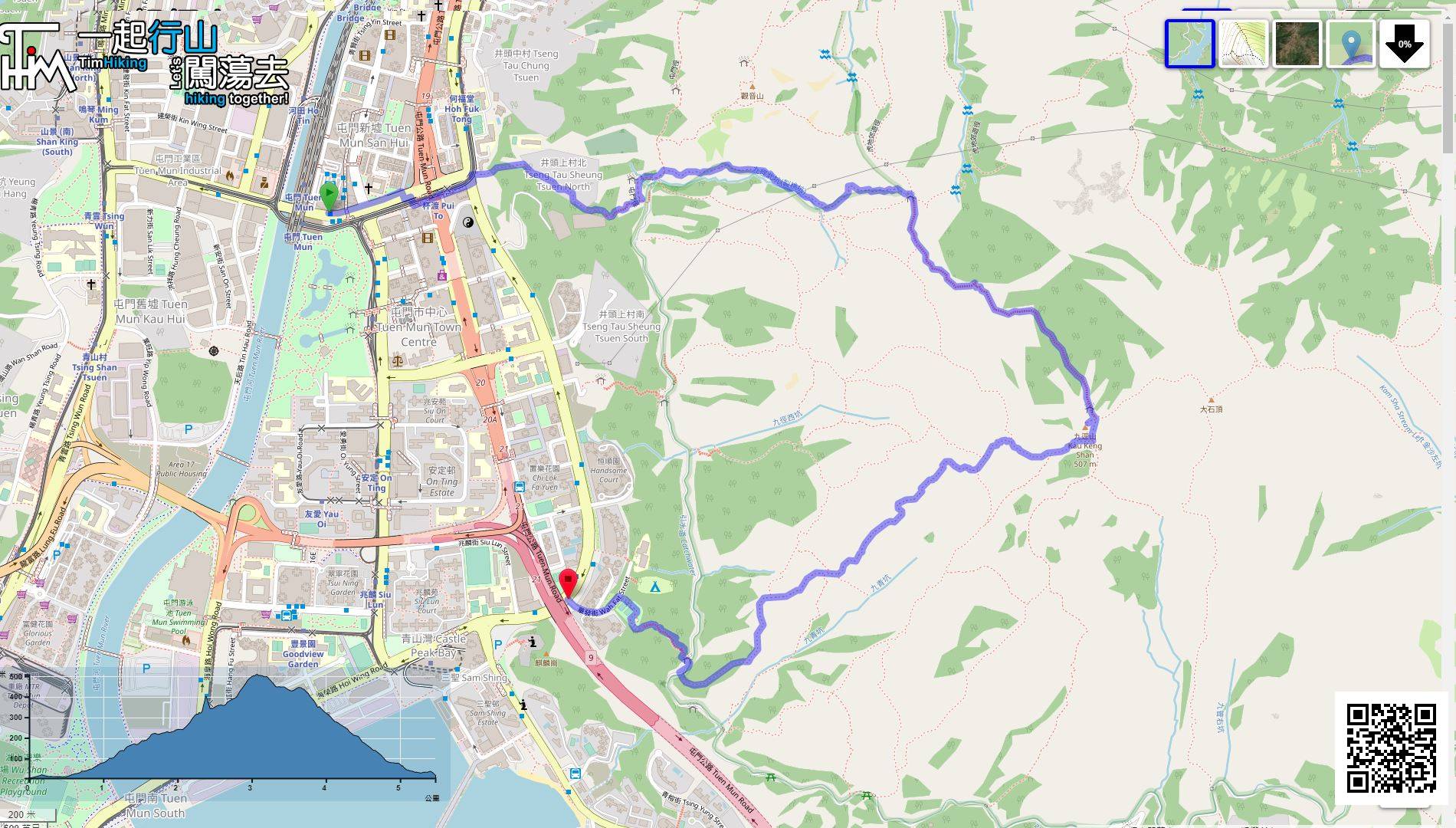
 (return on the same road at Kau Keng Shan) | |||
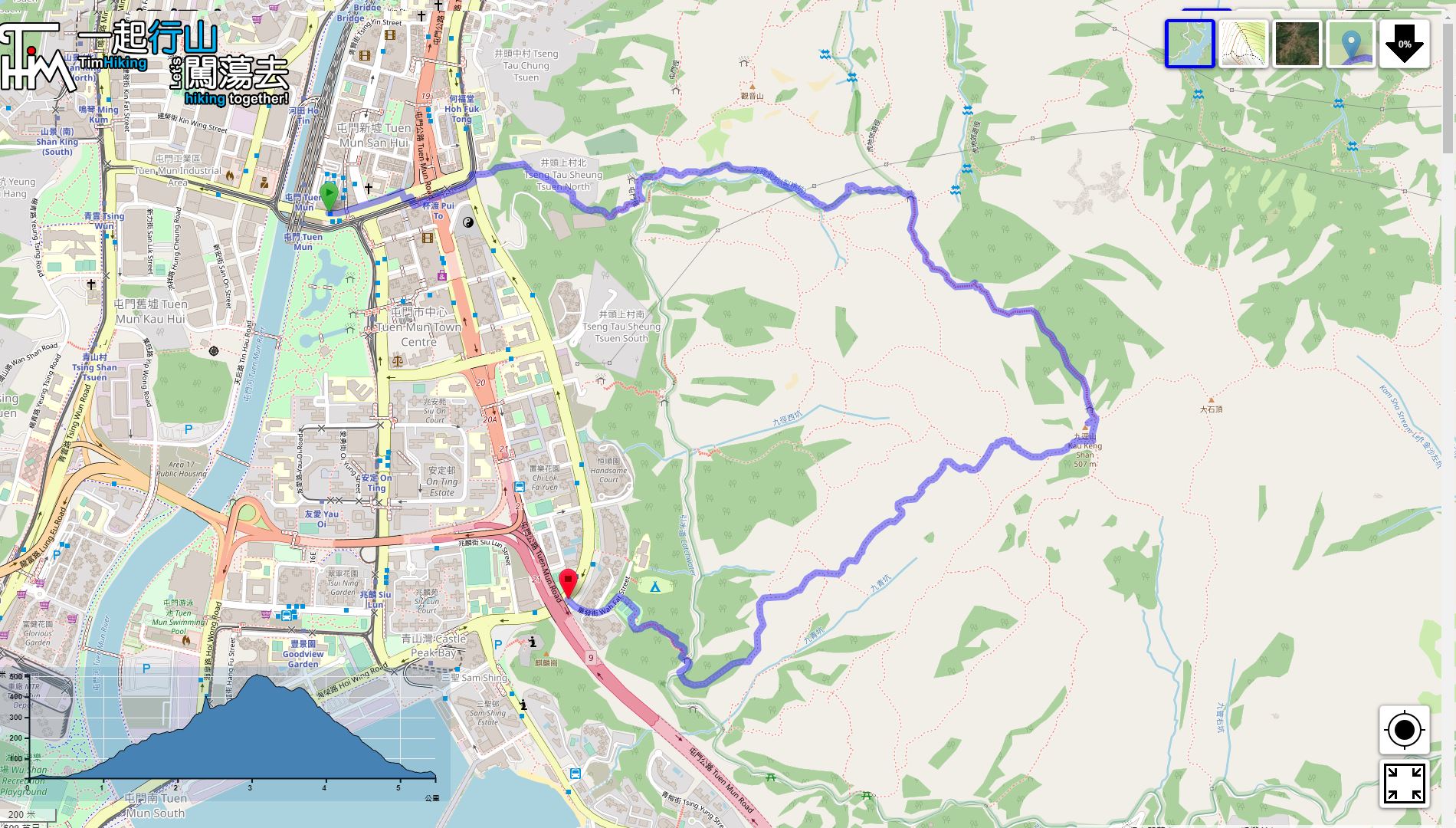
| Path : | |||
| Length : | 4.8km | ||
| Time : | 4hours | ||
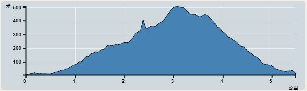 | |
| Ascent : 595m | Descent : 575m |
| Max : 485m | Min : 10m |
| (The accuracy of elevation is +/-30m) | |


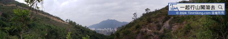
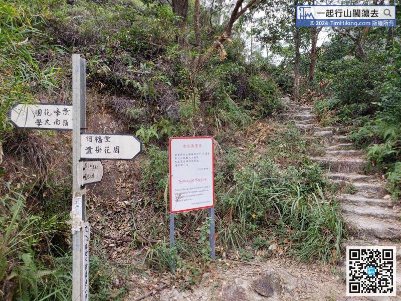
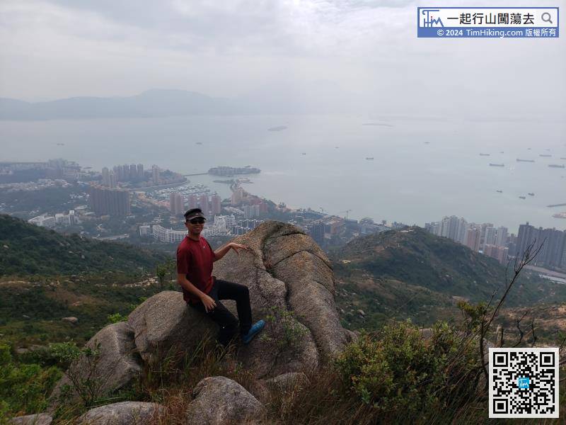
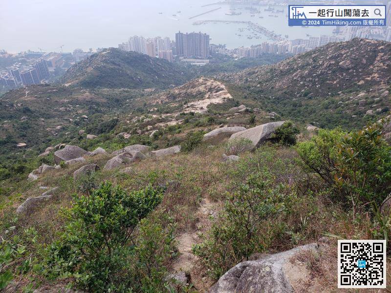
This time, turn right into the mountain trail. It is Tuen Mun Trail Section 2.

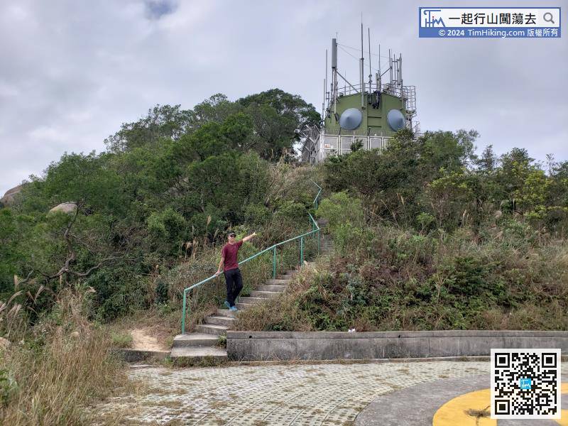
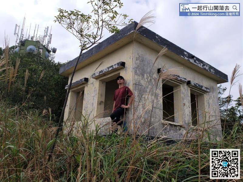
It has been verified that the white house is actually Tuen Mun Fire Lookout, which has been abandoned.
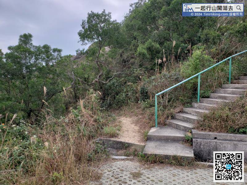
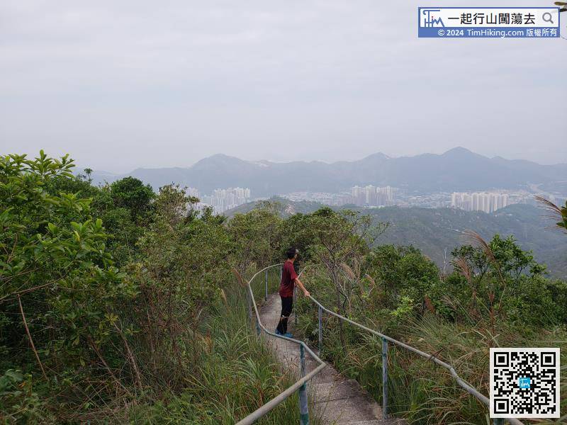
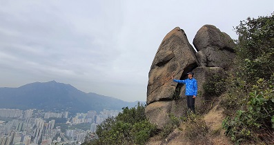
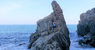
For hikers who want to challenge, follow the trail to the left of the stairs on the top of the mountain.


