


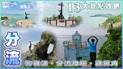
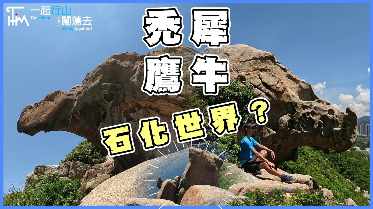
 Recommend YouTube
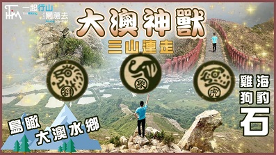

| View : |  | ||
| Difficulty : |  | ||
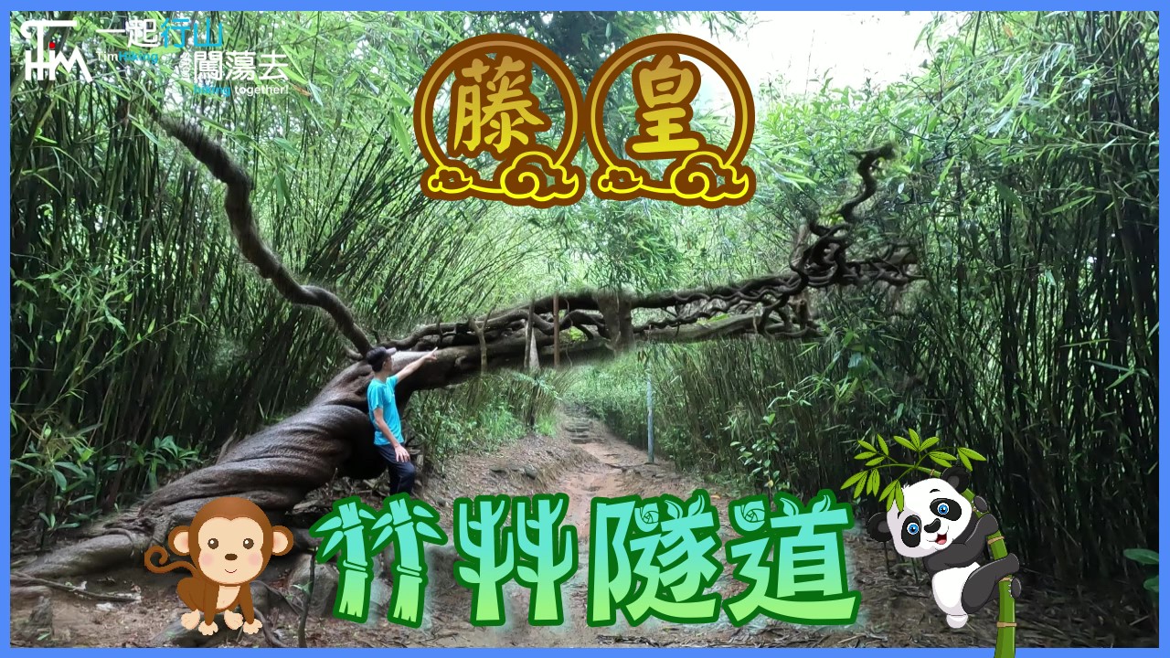
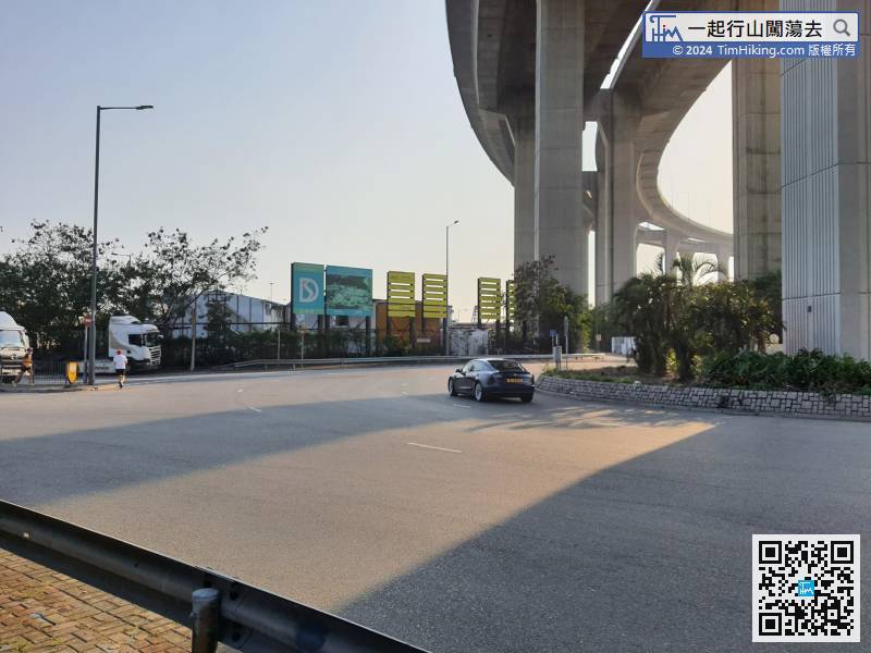
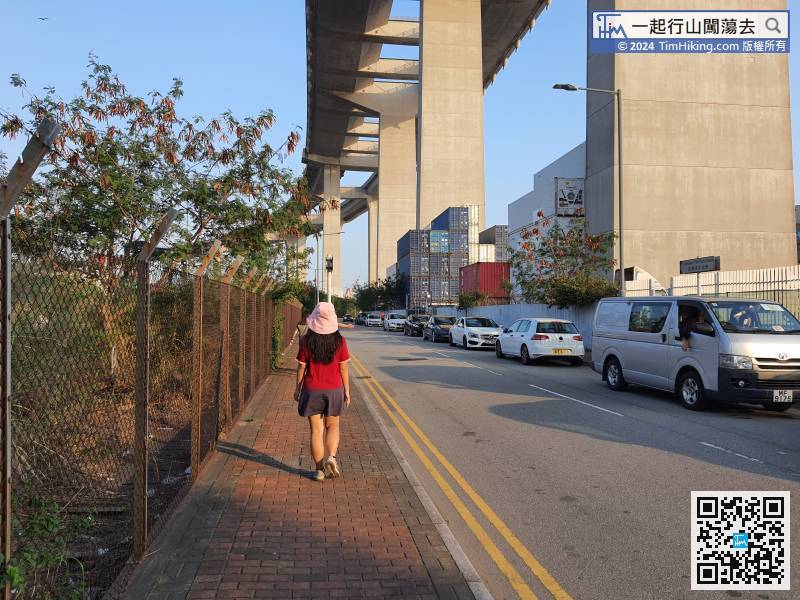
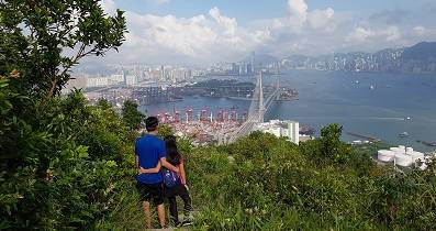
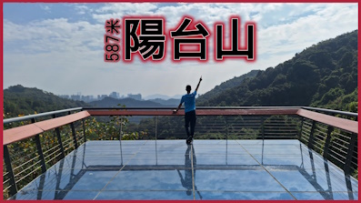
| Path : | |||
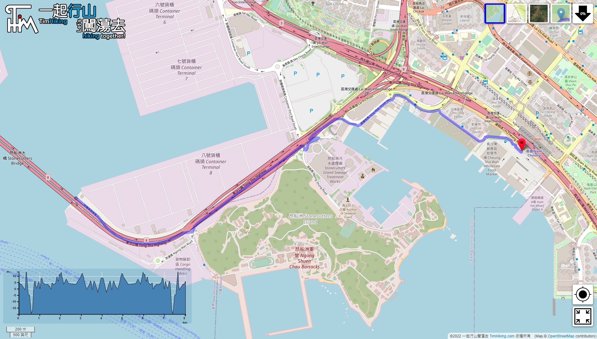
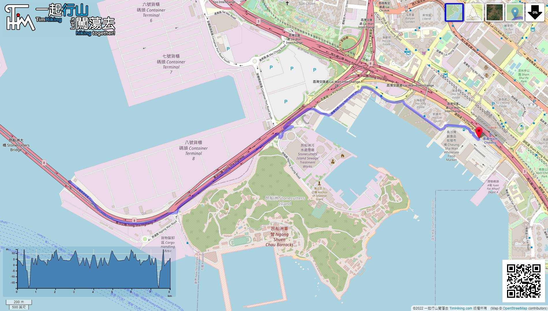
| Length : | 8.1km | ||
| Time : | 2hours | ||
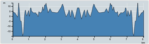 | |
| Ascent : 13m | Descent : 13m |
| Max : 13m | Min : 0m |
| (The accuracy of elevation is +/-30m) | |


| View : | | ||
| Difficulty : | | ||
| Path : | |||
| Length : | 8.1km | ||
| Time : | 2hours | ||
| |
| Ascent : 13m | Descent : 13m |
| Max : 13m | Min : 0m |
| (The accuracy of elevation is +/-30m) | |
Thanks a lot! Hope our hiking information is helpful to you. Everyone is happy to go hiking and safely!
Welcome to use Payme AlipayHK to sponsor Tim Sir's efforts! Continue to give selflessly for the mountain world.
You, O Lord, will be my light; by you, my God, the dark will be made bright for me.
Psalms 18:28 BBE
一起爬山闖蕩去 | timhiking | timhiking | timhiking | Message Board | Disclaimer


