


 Recommend YouTube


| View : |  | ||
| Difficulty : |  | ||
 (Ho Chung Ancient Trail only) | |||
| Path : | |||
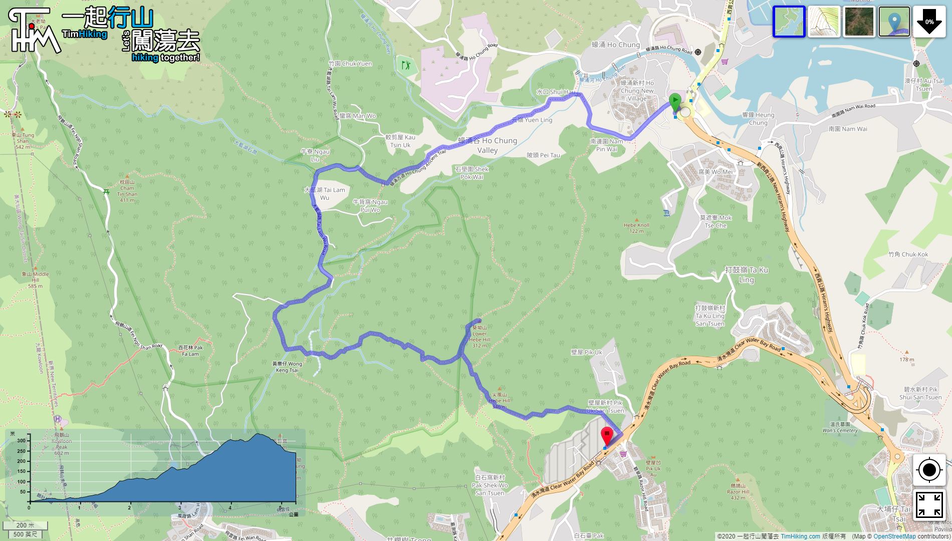
| Length : | 5.4km | ||
| Time : | 3hours | ||
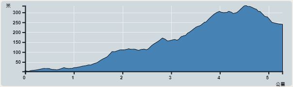 | |
| Ascent : 381m | Descent : 141m |
| Max : 333m | Min : 2m |
| (The accuracy of elevation is +/-30m) | |


 8︰cross Ho Chung River,
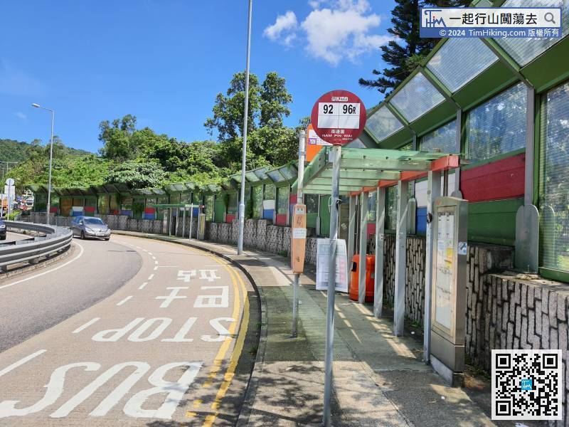
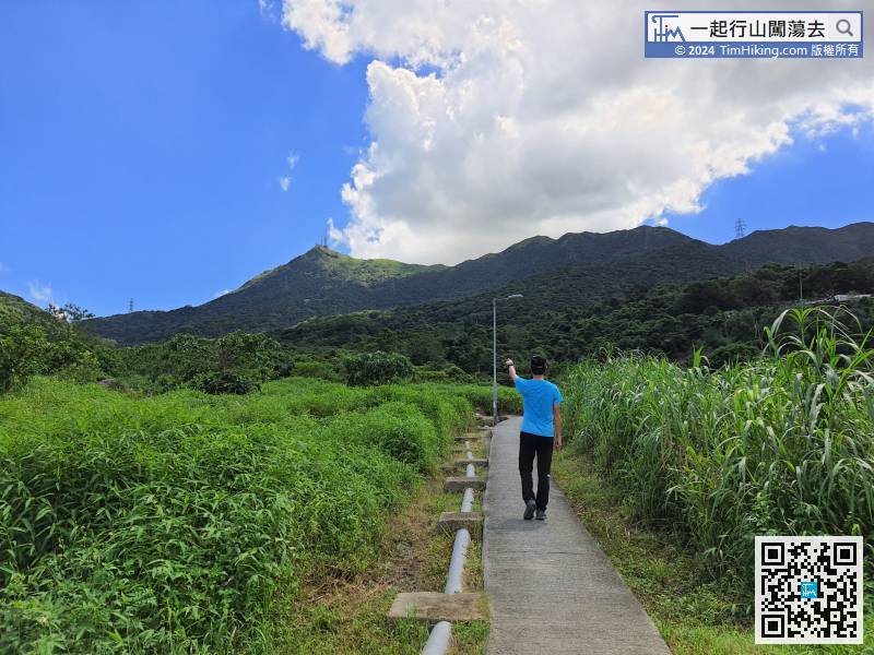
The starting point is at Ho Chung, there are many buses and minibuses to Sai Kung that will pass here.
20︰and merged with 7 Sai Kung Village Schools 35︰this section is a real ancient road,
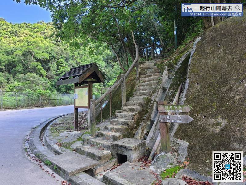 60︰Until seeing the electricity pole, the road improvement a lot, just keep to the left of the bifurcation in front of the electricity pole,
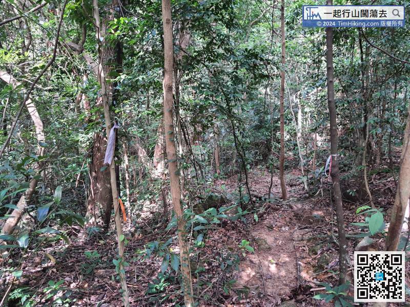
There are a lot of ribbons tied on the intersection of the lost trail, which is not difficult to distinguish.
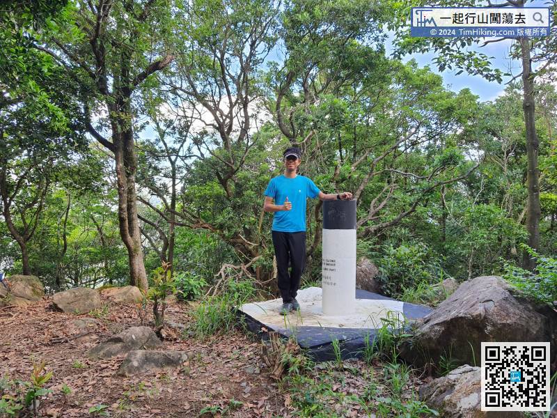
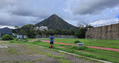
64︰it takes less than 5 minutes to reach the top of Kwai Au Shan, which is the Low Hebe Hill.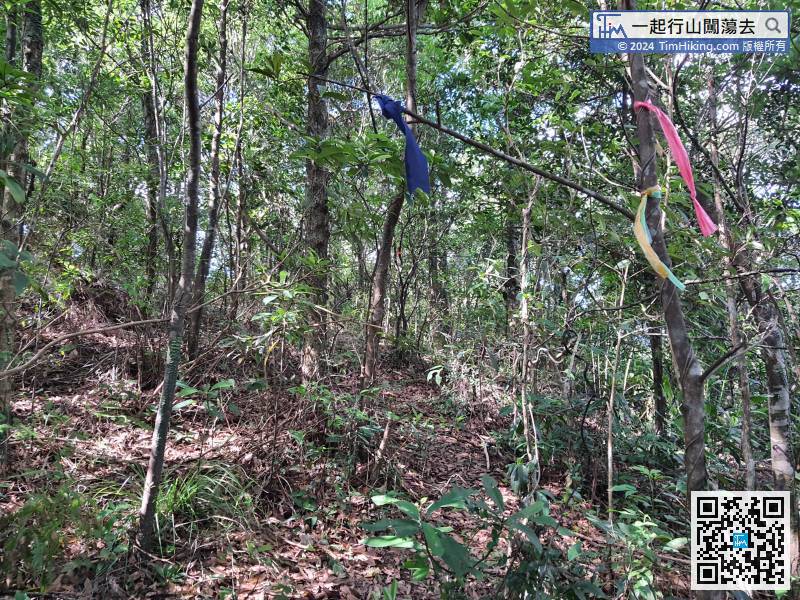
Continue to the direction of Kwai Au Shan. There are more ribbons in this section,
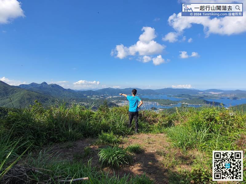
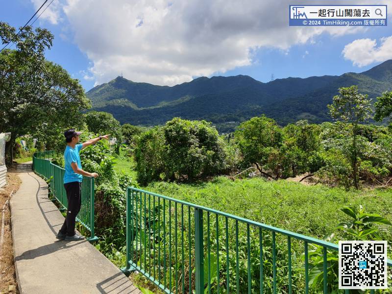
On the left is Fu Tung Pit, Buffalo Hill, West Buffalo Hill;


