


 Recommend YouTube

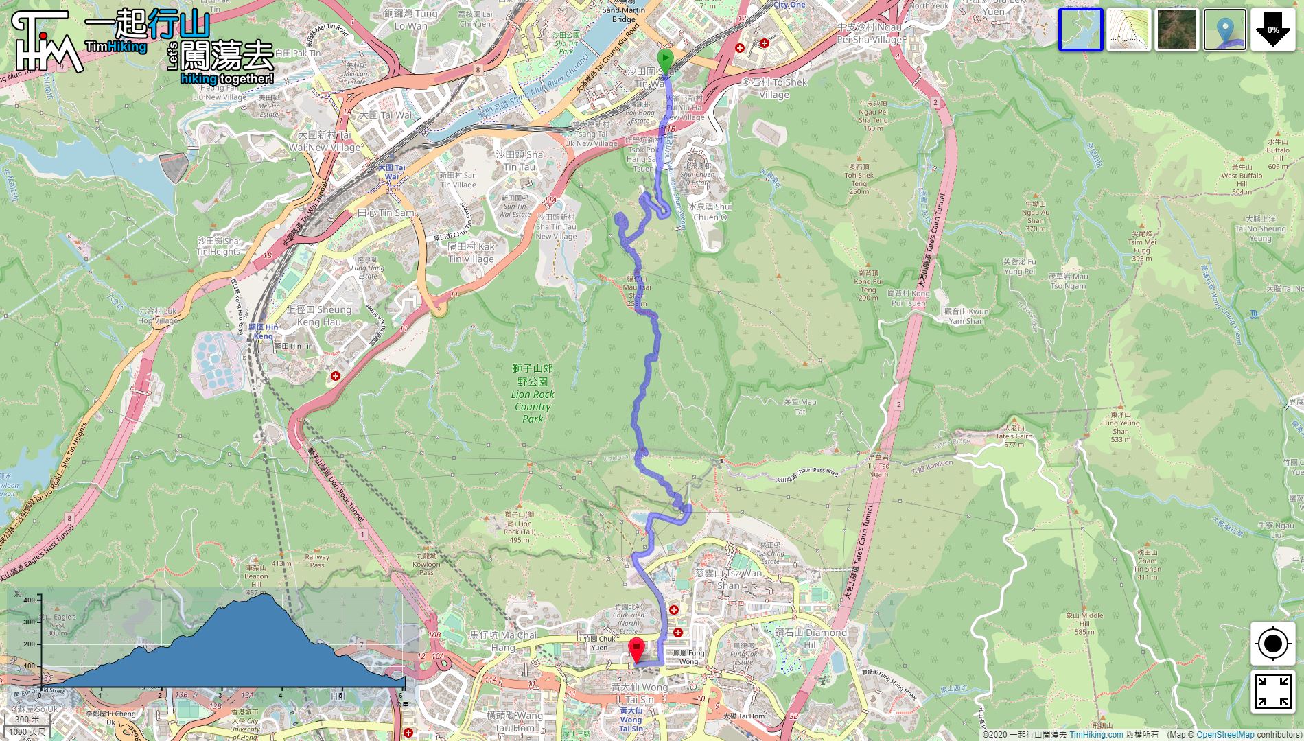

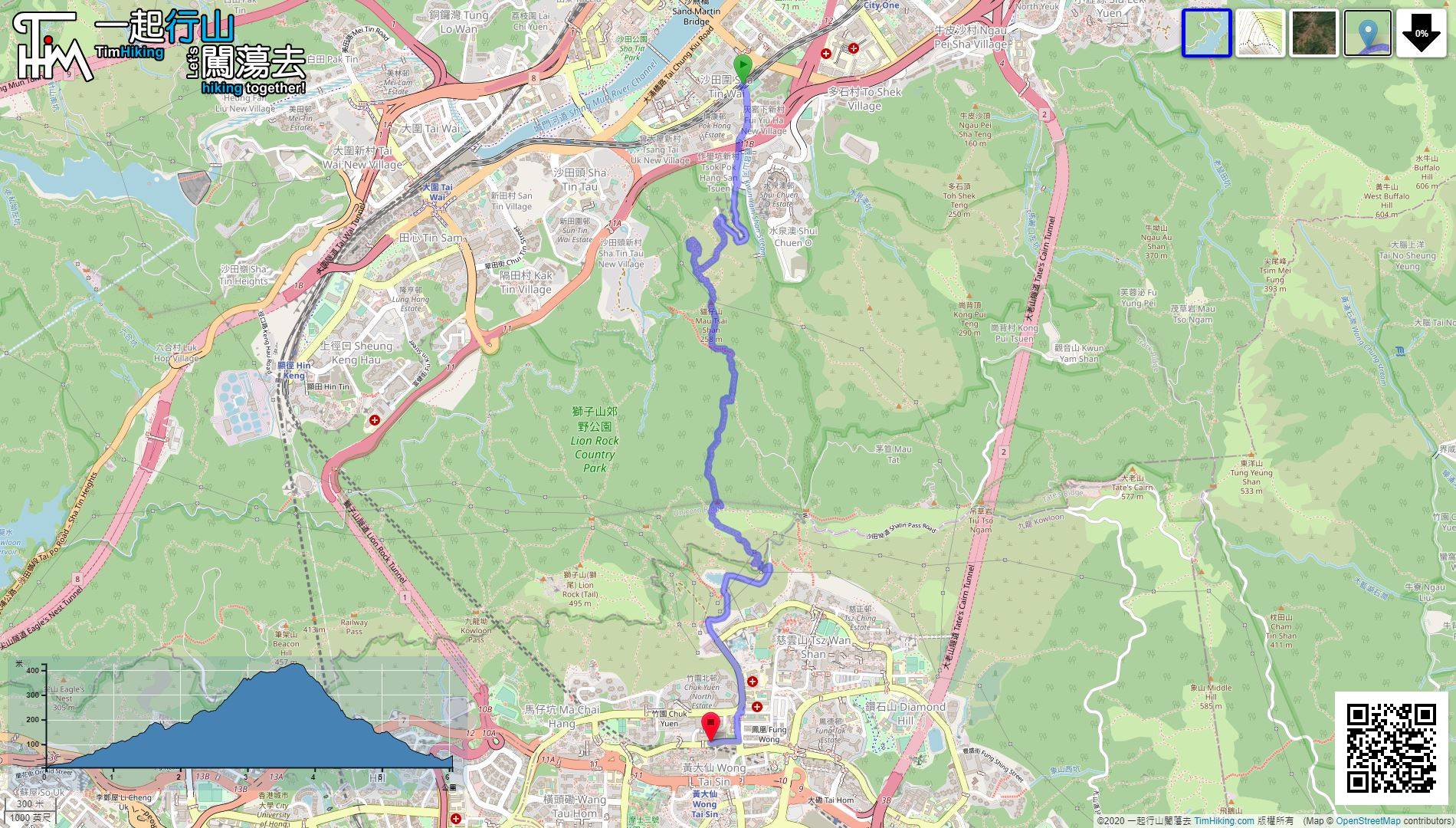
| View : |  | ||
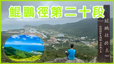
| Difficulty : |  (Unicorn Ridge South Ridge) | ||
 (MacLehose Trail) | |||
| Path : | |||
| Length : | 6.3km | ||
| Time : | 3hours | ||
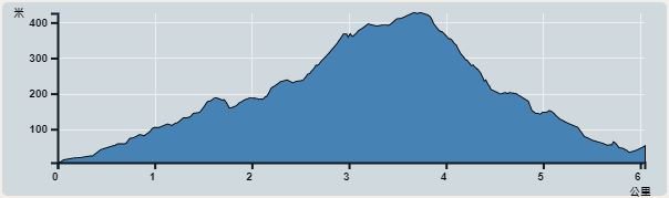 | |
| Ascent : 548m | Descent : 525m |
| Max : 427m | Min : 6m |
| (The accuracy of elevation is +/-30m) | |


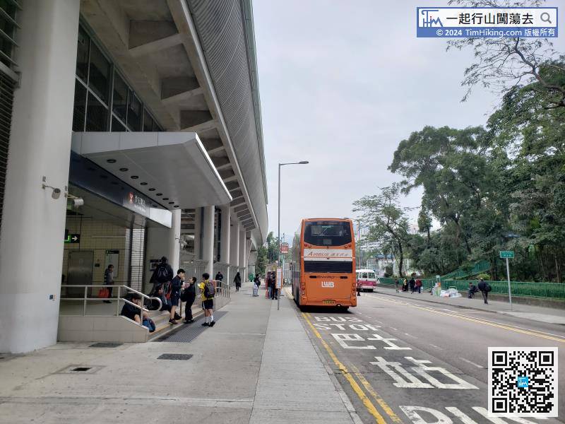
leave Sha Tin Wai Station Exit D, turn left to Shui Chuen Au Street,
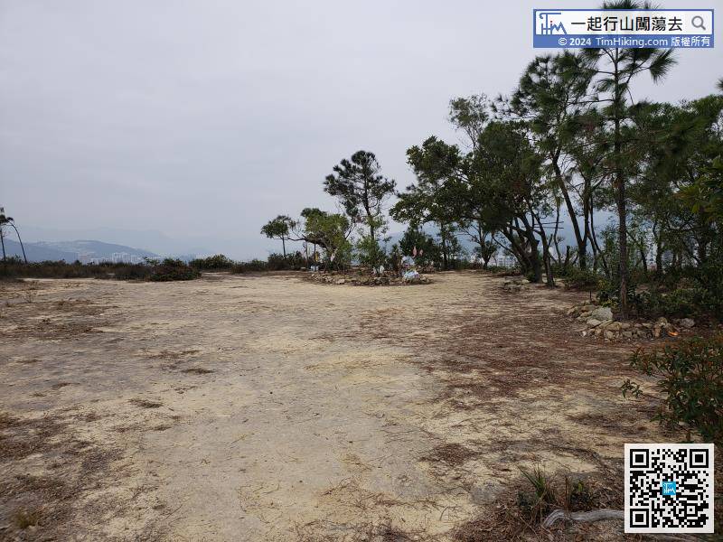
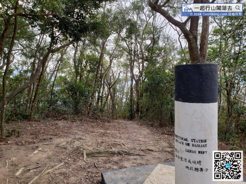
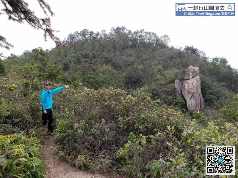
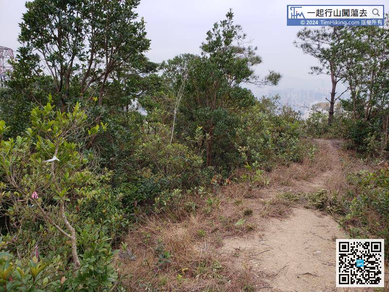
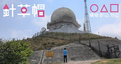
At the back left of Mau Tsai Shan trigonometrical station, there is a trail leading to Sun Tin Wai.
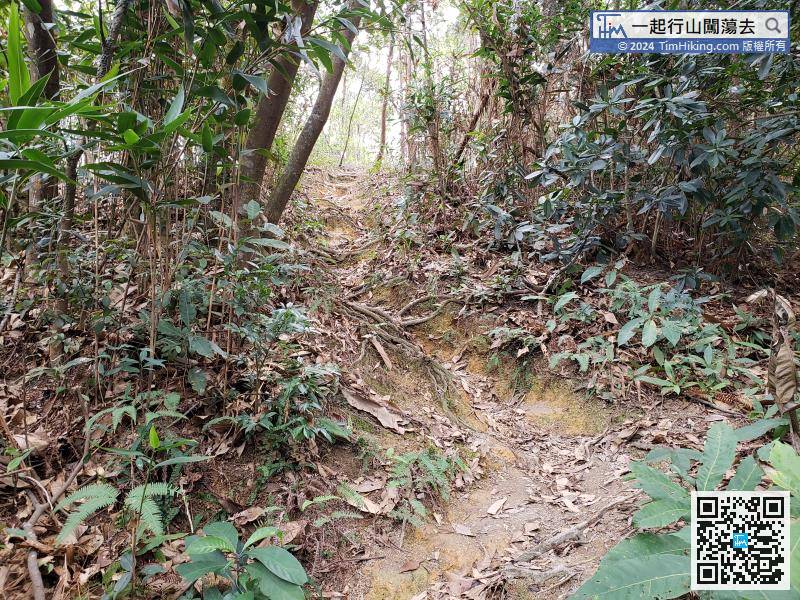
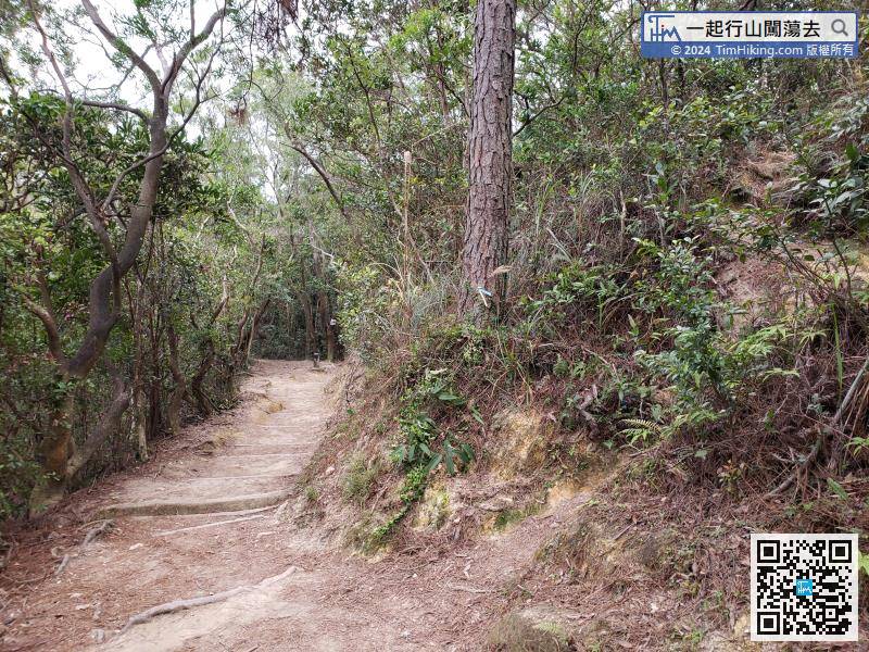
In the last 200 meters, need to turn left and leave the wide main path.


