


 Recommend YouTube


| View : |  | ||
| Difficulty : |  | ||
| Path : | |||
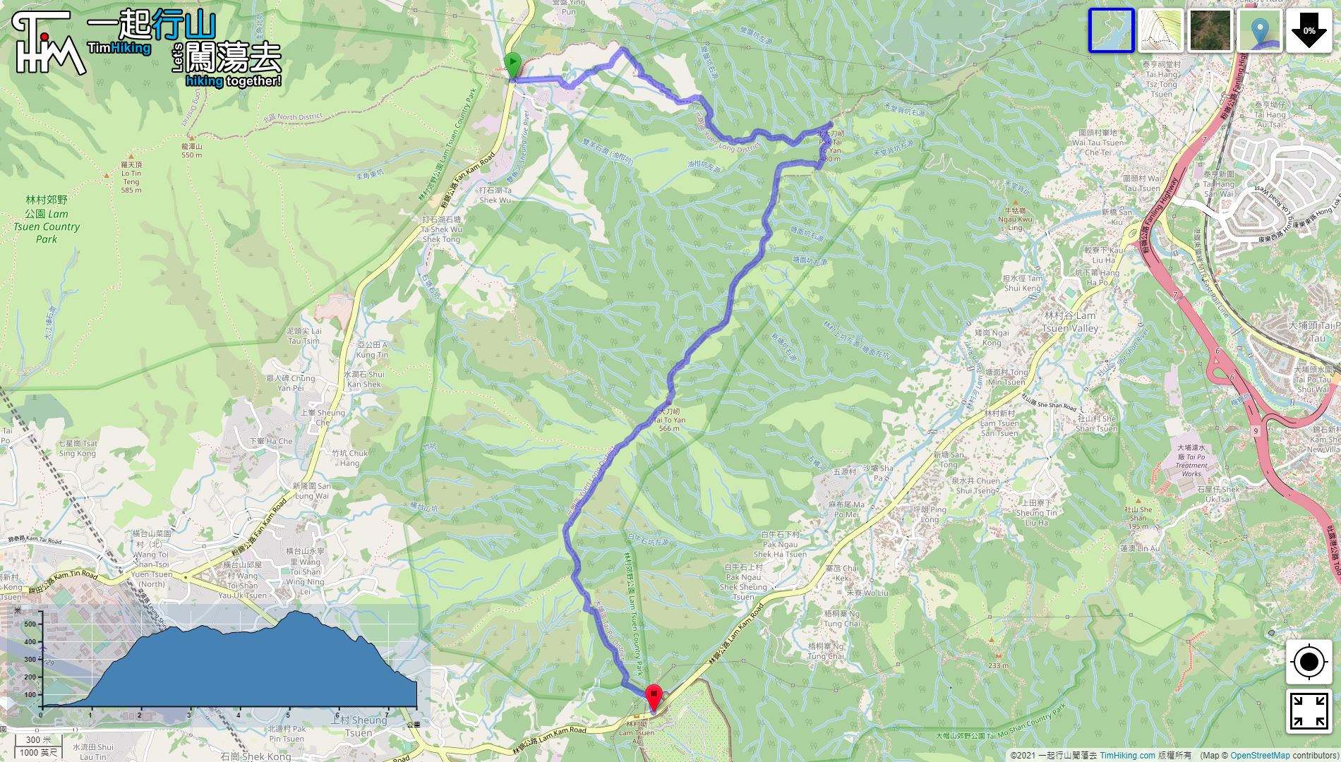
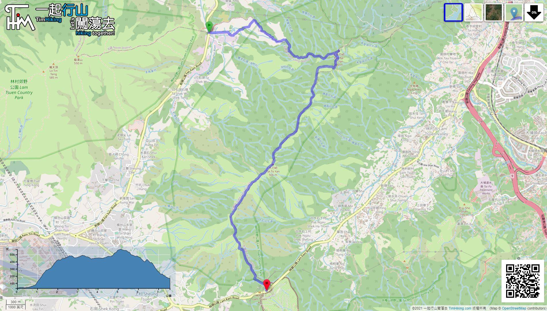
| Length : | 7.6km | ||
| Time : | 3½hours | ||
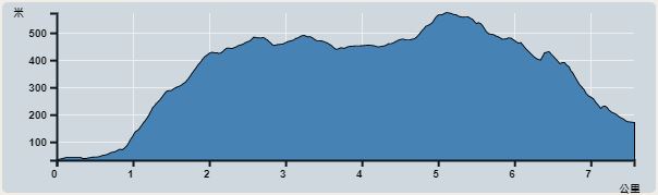 | |
| Ascent : 677m | Descent : 533m |
| Max : 546m | Min : 33m |
| (The accuracy of elevation is +/-30m) | |


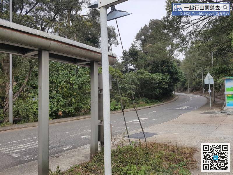
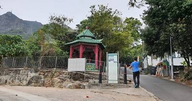
The starting point is at Ta Shek Wu Kiu Tau. You can take 77K from Sheung Shui MTR Station and get off at Kiu Tau bus stop.
 15︰you will come to the next intersection, then turn right, and at the same time connect to the cascade trail at the entrance of the village.
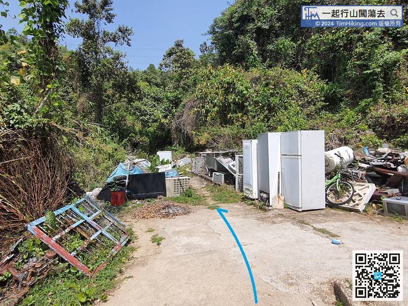
The end is like a garbage dump. If you look closely at the middle, you will find a mountain trail.
27︰The 800-meter ladder is really hard.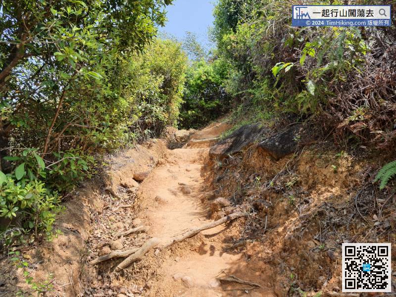 36︰When you come to the bifurcation, immediately turn left to Fanling Station and walk for dozens of steps.
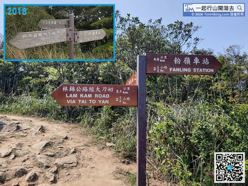
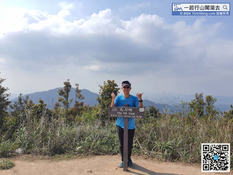
Next, return to the intersection just now and head towards Lam Kam Road via Tai To Yan. The old road sign is Pak Ngau Shek via Tai To Yan.
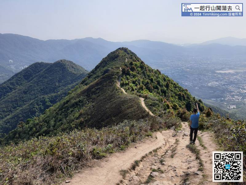
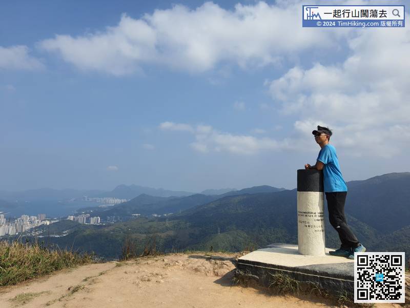
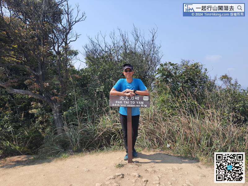
52︰with trees shaded for good walking.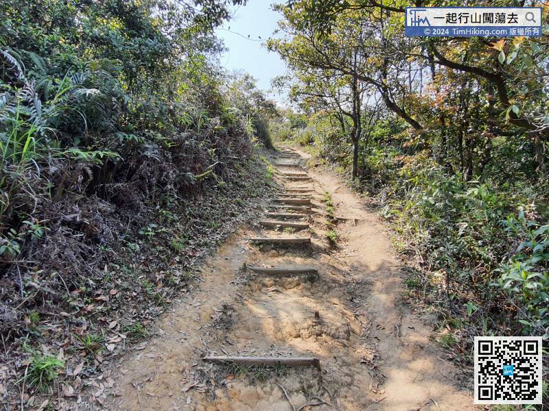 60︰In Tai To Yan, it feels more wide view than Pak Tai To Yan. It may be a little bit higher.
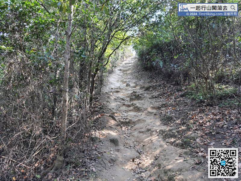
Walk to a position about 350 meters away from Tai To Yan and start to climb again.
69︰The Golden Silver Bridge is mainly divided into two sections.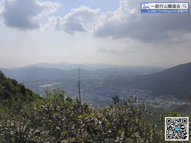
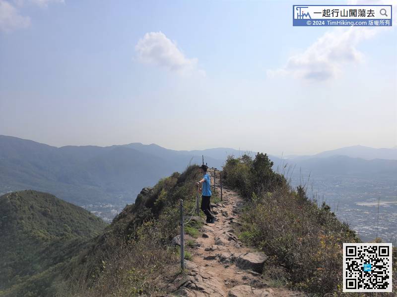
Soon after leaving Tai To Yan, you will see Shek Kong Airfield on your right.
77︰and then connect back to the open mountain trail.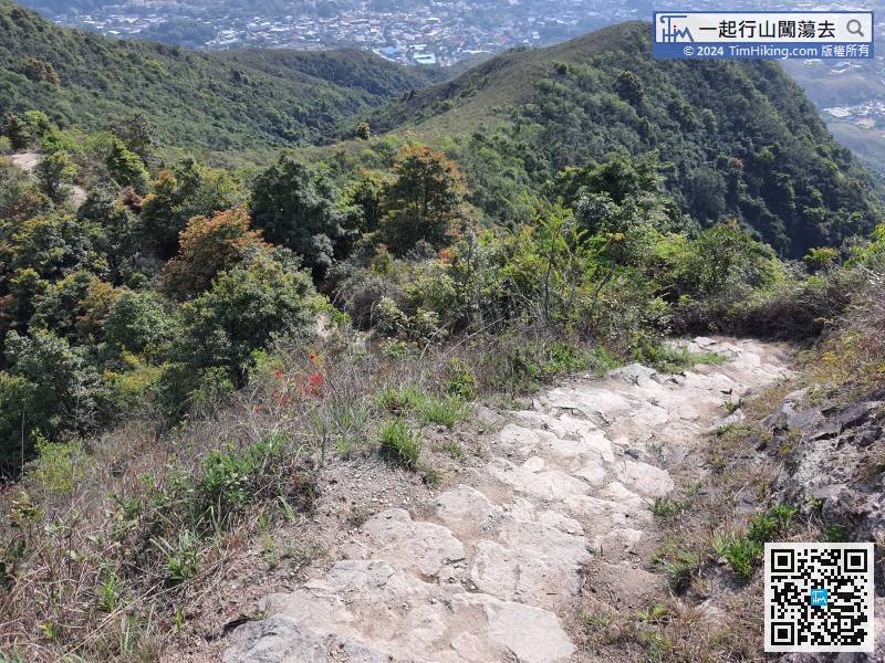 85︰In the past three years, the road signs for this section of the trail have changed a lot. Not only have the road signs updated, but the Pak Ngau Shek Trail has also been eliminated.
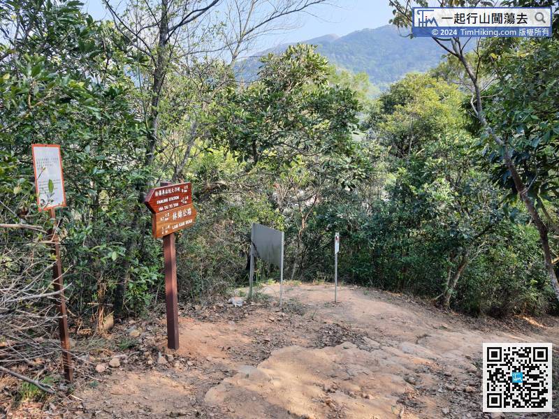


